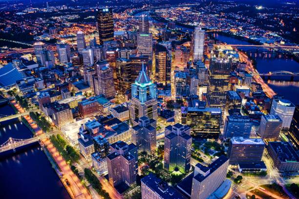
An aerial shot of the night Pittsburgh cityscape in Pennsylvania
Browse 4,000+ downtown pittsburgh pennsylvania stock photos and images available, or start a new search to explore more stock photos and images.
An aerial shot of the night Pittsburgh cityscape in Pennsylvania
Pittsburgh, Pennsylvania, USA downtown city skyline on the rivers at dusk.
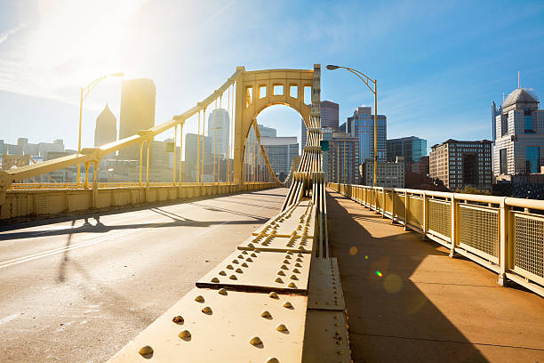
Rachel Carson Bridge (aka Ninth Street Bridge) spans Allegheny river in Pittsburgh, Pennsylvania
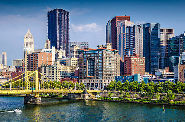
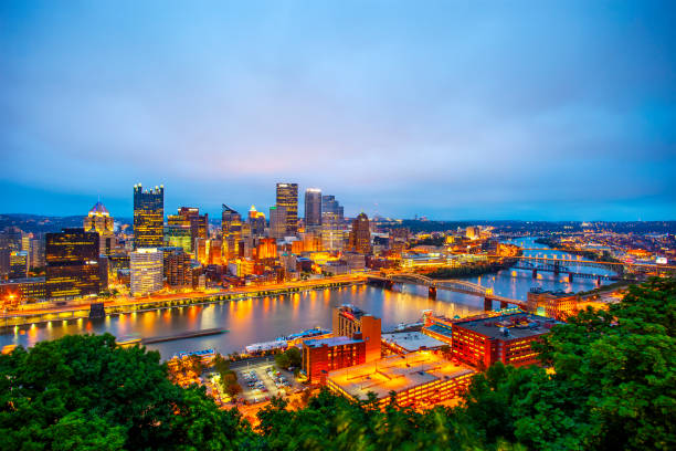
Pittsburgh, Pennsylvania, USA daytime downtown scene over the Allegheny River.
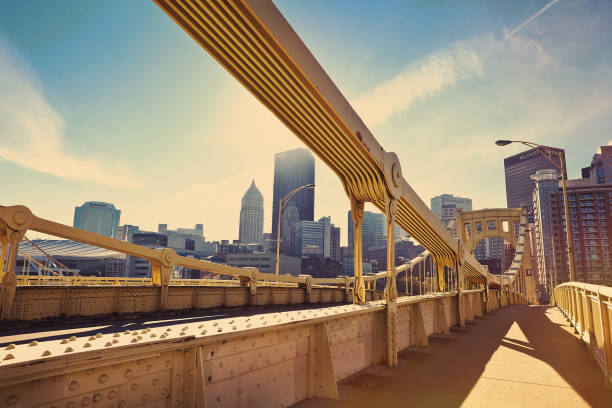
Roberto Clemente Bridge over the Allegheny River in downtown Pittsburgh Pennsylvania USA
Urban Skyline, City, Bridge - Built Structure, Cityscape, Dusk
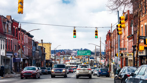
Liberty Avenue in Bloomfield district, Pittsburgh, Pennsylvania, USA

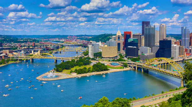
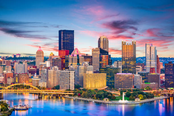
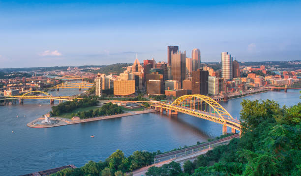
Downtown Pittsburgh skyline aerial view with Fort Duquesne (including a fountain), Point State Park, I-279, Allegheny River (left), Fort Duquesne Bridge (left), Monongahela River (right) and Fort Pitt Bridge (right) in the foreground.

View of downtown Pittsburgh, Pennsylvania with concert at Point State Park
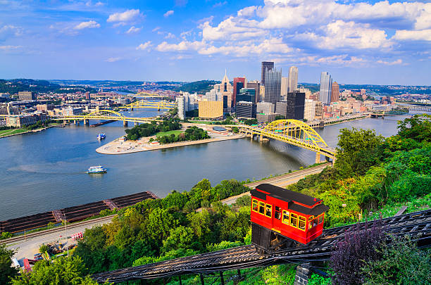
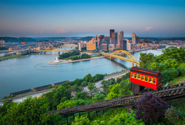
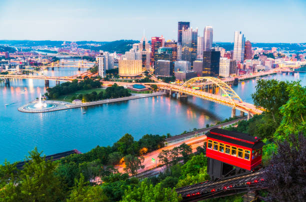
Pittsburgh, Pennsylvania, USA downtown skyline and incline.
A morning view of Pittsburgh, PA, USA from the Andy Warhol Bridge.

Poster Style Topographic / Road map of Pittsburgh, PA. Map data is public domain via census.gov. All maps are layered and easy to edit. Roads are editable stroke.

Spring in Pittsburgh city, Pennsylvania. Pittsburgh skyline with cherry blossoms.

Pittsburgh, Pennsylvania, USA skyline on the river.

North Pittsburgh, Pennsylvania, USA - Typical street near downtown

Vector Illustration of a City Street Map of Pittsburgh, Pennsylvania, USA. Scale 1:60,000. All source data is in the public domain. U.S. Geological Survey, US Topo Used Layers: USGS The National Map: National Hydrography Dataset (NHD) USGS The National Map: National Transportation Dataset (NTD)

Skyline of Pittsburgh Pennsylvania and the Monongahela River, Pennsylvania, USA at sunset
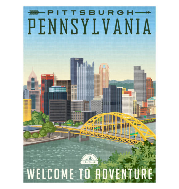
vintage style travel poster or luggage sticker of Pittsburgh Pennsylvania with river, bridge and skyline.

A beautiful 17 year old girl with pink hair enjoying a rare sunny day on the Roberto Clemente Bridge in downtown Pittsburgh, PA, USA.

A close up of the buildings of downtown Pittsburgh, Pennsylvania.
An early morning photo of the Andy Warhol Bridge which leads to downtown Pittsburgh, Pennsylvania, USA.

Contrasting styles of architecture show the evolution of building skyscrapers in downtown Pittsburgh, Pennsylvania.

Downtown Pittsburgh, Pennsylvania in the evening.

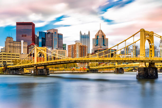
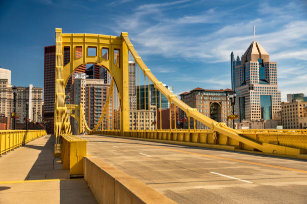
On a sunny day, the yellow Rachel Carson Bridge offers a stunning view of downtown Pittsburgh, with the Allegheny River flowing below, framed by blooming flowers and lush green trees.

Downtown Pittsburgh, Pennsylvania at night with the river and bridges.

Light trails over a bridge in Pittsburgh, PA.

Roberto Clemente Bridge over the Allegheny River in downtown Pittsburgh Pennsylvania USA

Roberto Clemente Bridge structure over Pittsburg downtown, Pennsylvania, USA

Downtown skyline of Pittsburgh, Pennsylvania at sunset in USA

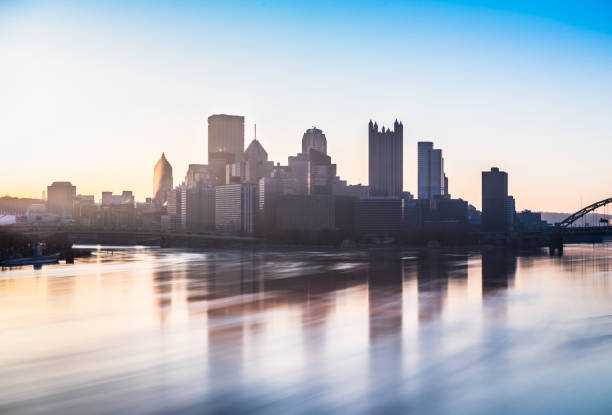
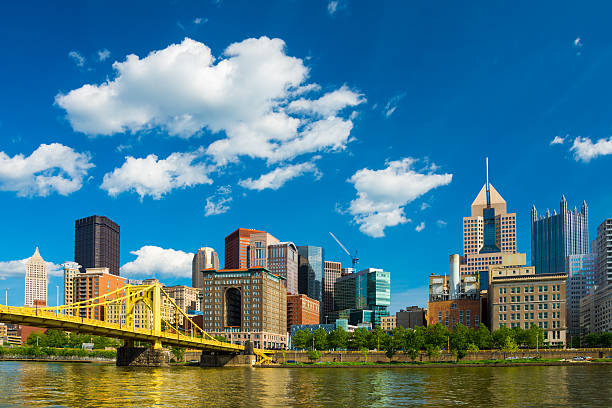
Pittsburgh, Pennsylvania, USA downtown city skyline on the Ohio River at dusk.
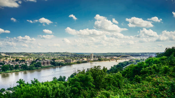
Kentucky and Ohio River with blue sky and clouds

Aerial view of Pittsburgh, Pennsylvania. Business district Point State Park Allegheny Monongahela Ohio rivers in background. Cityscape.

Early morning fog over Pittsburgh from the Allegheny Landing
Pittsburgh downtown skyline with Allegheny River and the Roberto Clemente Bridge / Sixth Street Bridge in the foreground and puffy cumulus clouds in the background.

The sun rising over Pittsburgh, through the summer haze.

"A shot of Downtown Pittsburgh, Pennsylvania on a typical hazy morning."

Homestead, Pennsylvania, USA at the historic steel mill smoke stacks.
Bridge - Built Structure, City, Cityscape, Famous Place, Monongahela River

Pittsburgh, Pennsylvania - September 26, 2019: Carnegie Science Center in Pittsburgh, Pennsylvania. Museum and research centre offers science related exhibits, a planetarium, live shows and kids programs
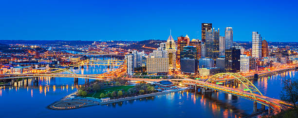
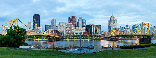
Panoramic cityscape photo of downtown Pittsburgh, Pennsylvania, USA, illuminated at twilight blue hour. It is located at the confluence of the Allegheny and Monongahela rivers.

Poster Style Topographic / Road map of Pittsburgh, PA. Map data is public domain via census.gov. All maps are layered and easy to edit. Roads are editable stroke.

Pittsburgh, Pennsylvania -July 22, 2023: Old Heinz Company Factory is a historic industrial complex in the Troy Hill neighborhood in Pittsburgh

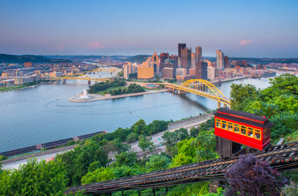
The Duquesne Incline on the hillside of Mt. Washington overlooking downtown Pittsburgh, PA.

"Downtown Pittsburgh, PA at sunset from the Westend overlook."