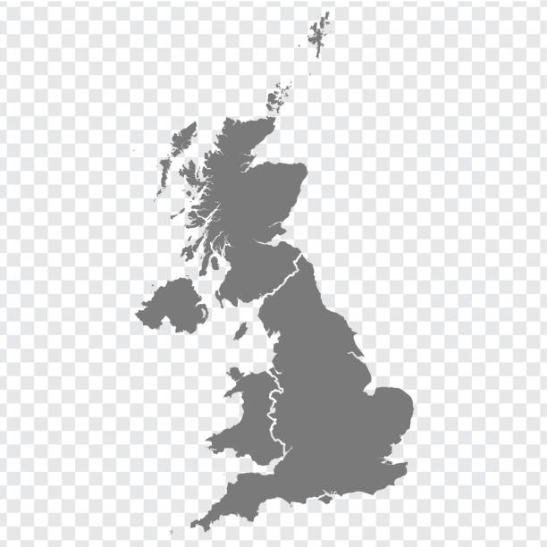
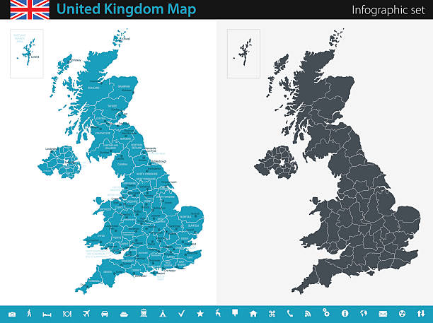
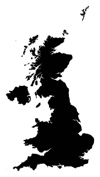
The United Kingdom of Great Britain and Northern Ireland map, detailed web vector illustration .
Explore a wide variety of England map illustrations and photos at iStock by Getty Images. Whether you need a vintage chart, a modern political map, or a detailed topographical view, our collection has the right visual for your project. These maps are perfect for illustrating England’s diverse geography, from its iconic coastlines to its vast green spaces. You can complement your map with our extensive library of royalty-free nature photos to showcase the country's landscapes. Pinpoint famous woodlands or national parks with a map and one of our beautiful tree stock images. Find the perfect England map for your needs in the iStock library today.
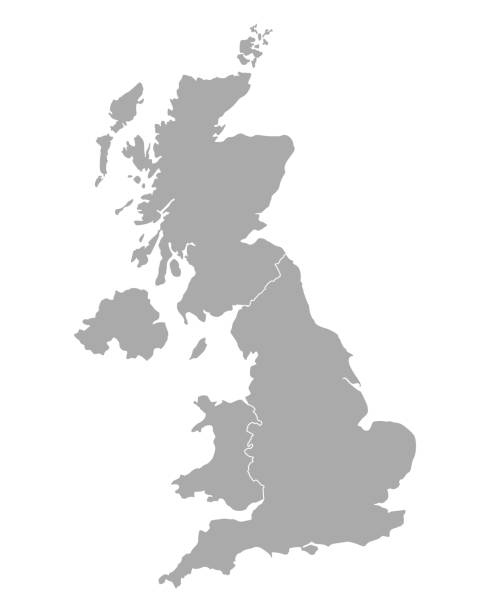
The United Kingdom of Great Britain and Northern Ireland map, detailed web vector illustration .
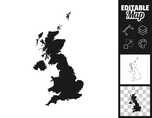
Map of United Kingdom for your own design. Three maps with editable stroke included in the bundle: - One black map on a white background. - One line map with only a thin black outline in a line art style (you can adjust the stroke weight as you want). - One map on a blank transparent background (for change background or texture). The layers are named to facilitate your customization. Vector Illustration (EPS file, well layered and grouped). Easy to edit, manipulate, resize or colorize. Vector and Jpeg file of different sizes.
Very detailed United Kingdom map - easy to edit.
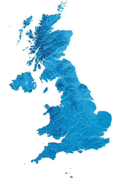
3D render and image composing: Topographic Map of United Kingdom. Isolated on White. High quality relief structure!
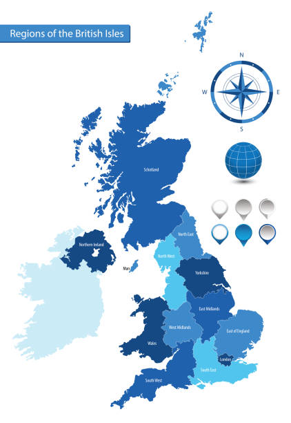
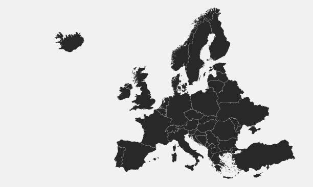
Vector map of the regions of the British Isles for your design
minimal editable stroke uk map icon. flat minimal modern simplified art design element isolated on white background. concept of united kingdom area or territory and great britain badge

United Kingdom physical map. Vector illustration.
vector of the United Kingdom map

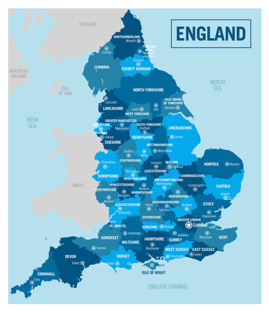
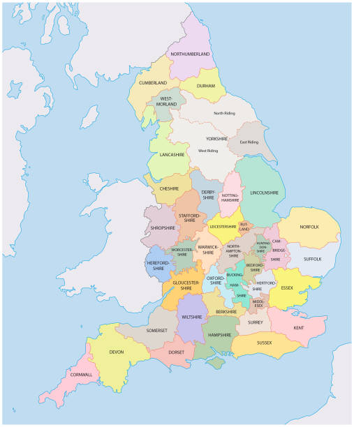
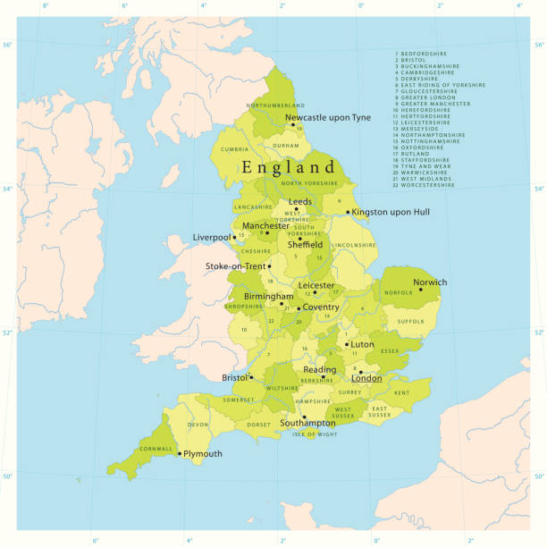
Map of England with counties UK, Vector

East of England of United Kingdom of Great Britain and Northern Ireland map, detailed web vector .

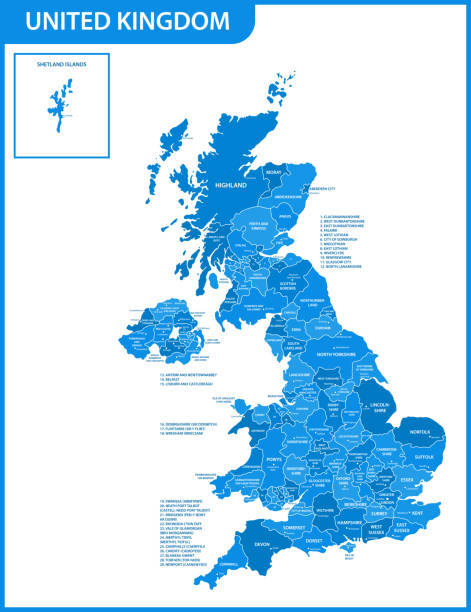
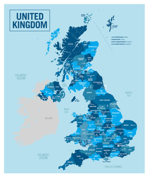
United Kingdom - detailed map with regions and cities of the country. Vector illustration.

The black and white administrative maps of England
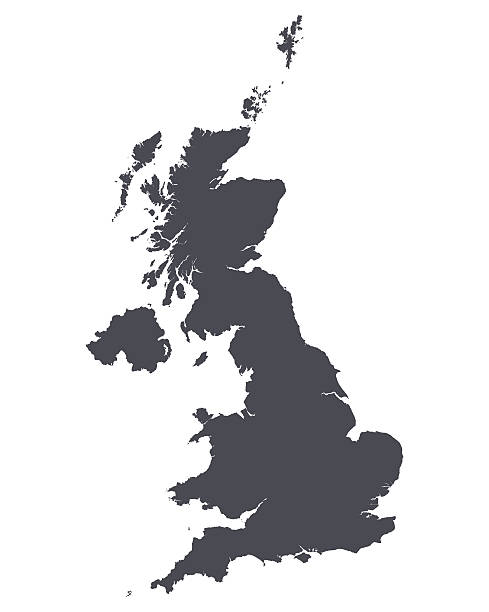
United Kingdom map shape. UK silhouette vector illustration isolated on white.

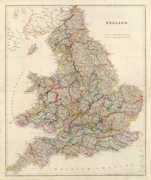
Mid-Victorian map of English and Welsh counties at that time.
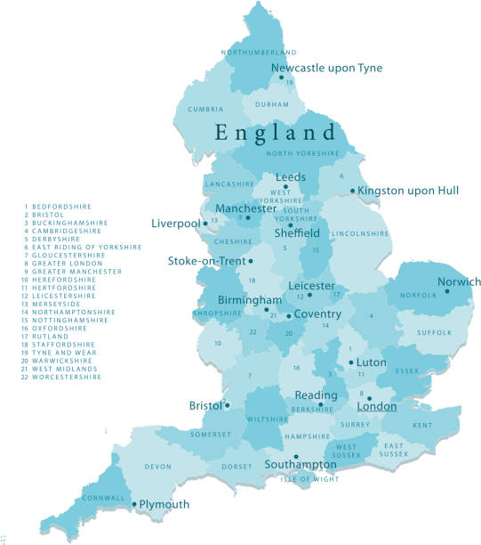
"Detailed vector map of England with administrative divisions. File was created on October 18, 2012. The colors in the .eps-file are ready for print (CMYK). Included files: EPS (v8) and Hi-Res JPG (4962aa aaa 5600 px)."
Vector maps of the United Kingdom with variable specification and icons The urls of the reference files are (country, continent, world map and globe): http://www.lib.utexas.edu/maps/europe/united_kingdom_pol87.jpg http://www.lib.utexas.edu/maps/world_maps/time_zones_ref_2011.pdf - The illustration was completed March 23, 2016 and created in Corel Draw - 1 layer of data used for the detailed outline of the land
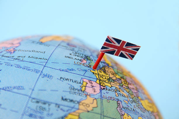
United Kingdom flag pointing London in cheap plastic globe. Shallow depth of field
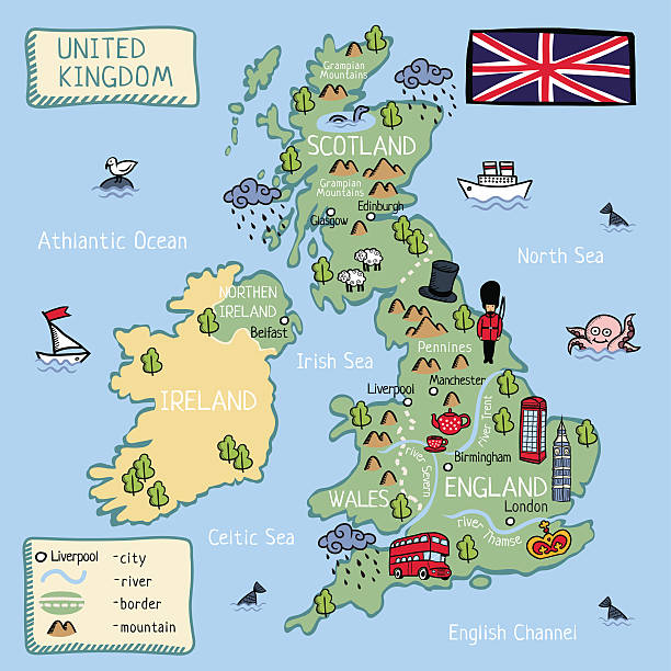
Cartoon map of United Kingdom (England, Scotland, Wells, Northen Irland) . all objects isolated.

Map of England for your own design. With space for your text and your background. Four maps included in the bundle: - One black map. - One blank map with only a thin black outline (in a line art style). - One mosaic map. - One white map with a thin black outline. The 4 maps are isolated on a blank background (for easy change background or texture).The layers are named to facilitate your customization. Vector Illustration (EPS10, well layered and grouped). Easy to edit, manipulate, resize or colorize.

Antique Map of England from a book dated 1895. Digitally Remastered by Nick Free 2012.
historic counties of england vector map
Vector of highly detailed map of the United Kingdom - The url of the reference file is : http://www.lib.utexas.edu/maps/europe/europe_ref_2010.pdf

England map with borders, cities, capital and administrative divisions. Infographic vector map. Editable layers clearly labeled.
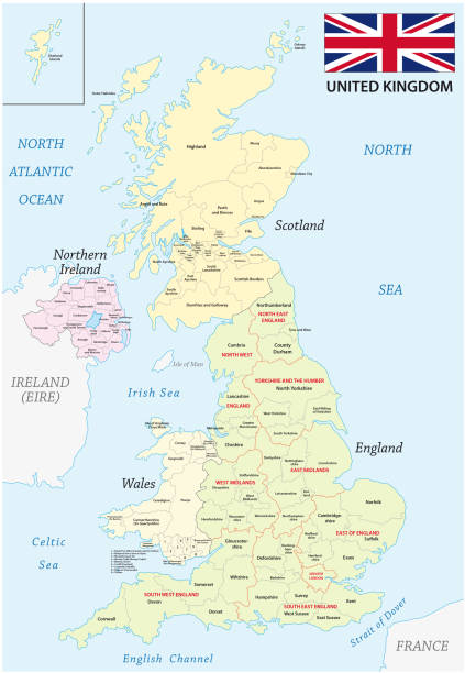
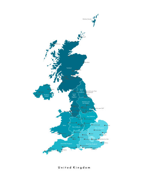
united kingdom administrative and political vector map with flag
Modern design United kingdom detailed political map. Cyan blue, cream white background. Business concepts and backgrounds.

Political map of United Kingdom with capital London, national borders, most important cities, rivers and lakes. Vector illustration with English labeling and scaling.

United Kingdom map with dotted style

Illustration map with animals, nature and landmarks. Vector illustration
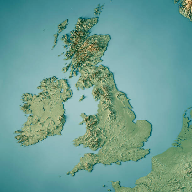
3D Render of a Topographic Map of the United Kingdom. All source data is in the public domain. Color texture: Made with Natural Earth. http://www.naturalearthdata.com/downloads/10m-raster-data/10m-cross-blend-hypso/ Relief texture and Rivers: SRTM data courtesy of USGS. URL of source image: https://e4ftl01.cr.usgs.gov//MODV6_Dal_D/SRTM/SRTMGL1.003/2000.02.11/ Water texture: SRTM Water Body SWDB: https://dds.cr.usgs.gov/srtm/version2_1/SWBD/

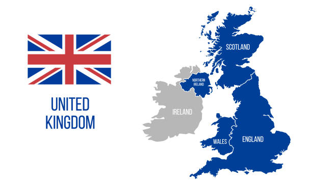
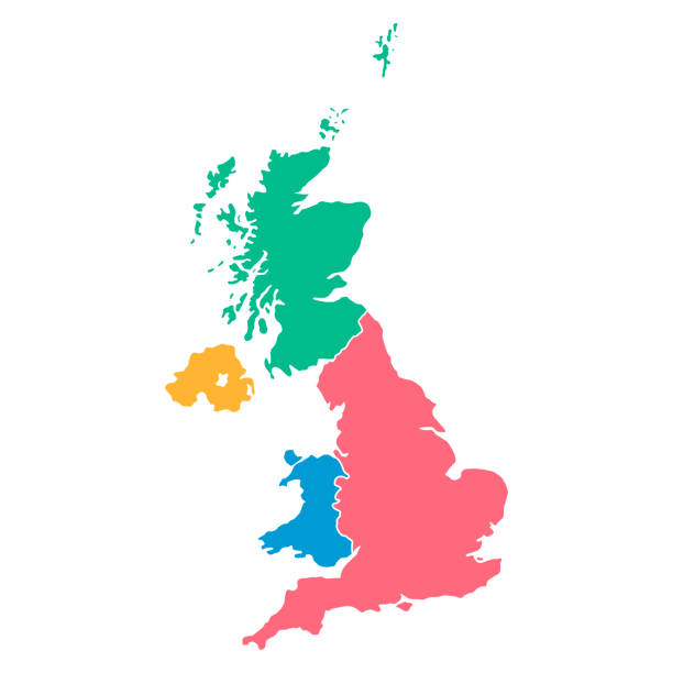
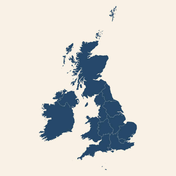
United Kingdom countries and Ireland political map. England, Scotland, Wales, Northern Ireland, Guernsey, Jersey, Isle of Man and their capitals in different colors. Illustration on white background.

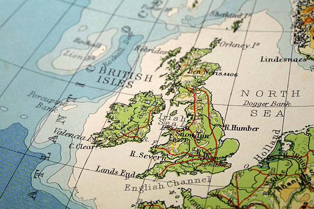
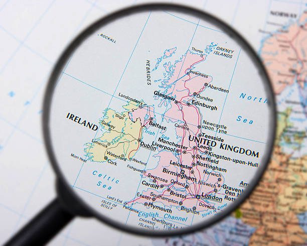
Map of United Kingdom. Detail from the World Atlas. Selective Focus.
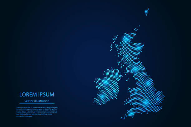
Abstract image United Kingdom map from point blue and glowing stars on a dark background. vector illustration. Vector eps 10.
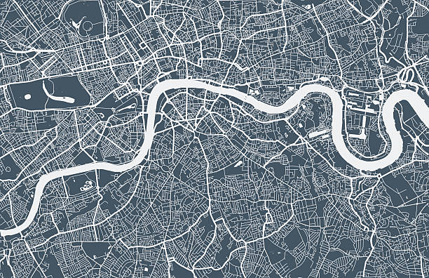
London city map. Map data © OpenStreetMap contributors.

Map of England with counties UK, Vector.
Highly detailed vector map of England. Source data courtesy of NGDC and NASA. Source database: World Data Bank II. The source data is in the public domain. Data updated and improved. File was created on July 27, 2011. The colors in the .eps-file are ready for print (CMYK). Included files: EPS (v8) and Hi-Res JPG.
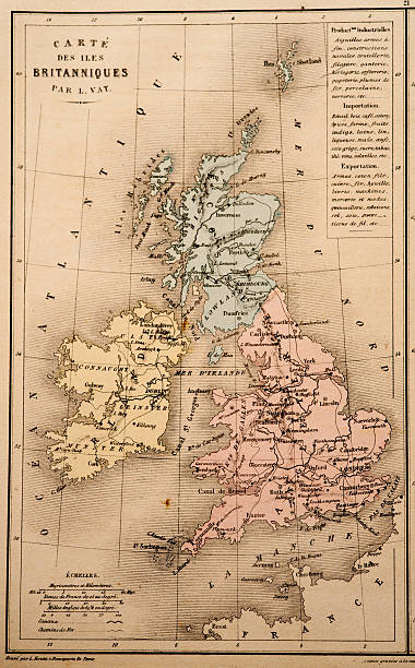
Antique French map of the United Kingdom from Nouvel Atlas Classique c: 1869.

vector map of united kingdom

colorful vector map of United Kingdom countries

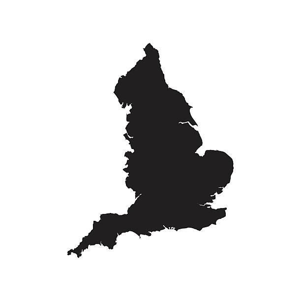
Illustration of a Blank Map of England

Vector British Forest Map
Antique map of EnglandSee more antique maps scanned from my collection of antique maps and engravings on iStockphoto: