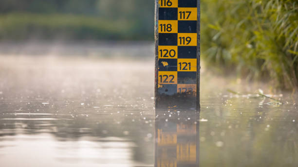
water level depth meter in river of Biesbosch nature reserve Netherlands
Browse 4,200+ flood controls stock photos and images available, or start a new search to explore more stock photos and images.
water level depth meter in river of Biesbosch nature reserve Netherlands

White and black plastic sandbags stacked and broken.

Berm construction along High River Alberta after the flood of 2013. This construction is preventive in case the river reaches flood stage again.

Car driving through the puddle and splashing by water. Dangerous situation. Concept of road safety.

Roermond, Netherlands – March 31, 2022: A floodgate in Roermond, Netherlands holding back the river Maas. With a houseboat behind it
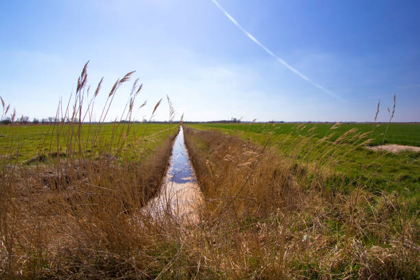
Farmland drainage ditch between rural pasture fields. English countryside scene. Narrow irrigation trench separating grazing land.
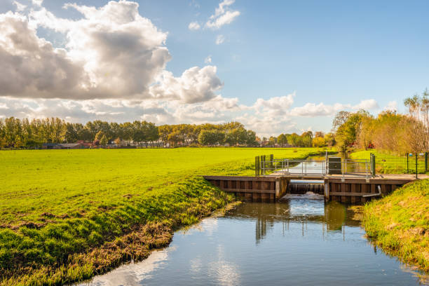
Dutch rural landscape in changing autumnal colors. In the foreground is a flowing weir in the stream with a smooth water surface. It is a sunny day with a blue sky and some clouds in the fall season.

Klaten, Indonesia, June 14, 2020. Irrigation system on river banks to regulate the irrigation of residents' agriculture
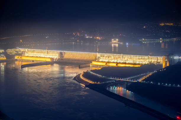
three gorges dam at night, yichang city, hubei province, China

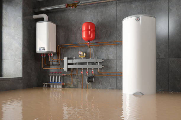
Below-grade service room or basement with water from flood, pipe burst or rain overflow. Immediate action required to prevent power loss. Selective focus.

Toad Suck Ferry lock and dam is part of the McClellan–Kerr Arkansas River Navigation System (MKARNS) is part of the inland waterway system originating at the Tulsa Port of Catoosa and running southeast through Oklahoma and Arkansas to the Mississippi River. The system was named for two Senators: Robert S. Kerr (D-OK) and John L. McClellan (D-AR), who pushed authorizing legislation through Congress. The system officially opened June 5, 1971. President Richard M. Nixon attended the opening ceremony. It is operated by the Corps of Engineers.

Climate change mitigation and adaptation actions for future outline diagram. Labeled educational examples with strategy to reduce global warming and to live safely with risks vector illustration.

Reservoir spillway dumping overflow.

Waterfall behind the dam on the river in city. The flow of water. Long exposure to running water.

Landscape of the Bell mouth spillway on rain morning. Long exposure.

A repurposed Project from an old golf course to help flood control in the Clear Lake area of Houston, Texas.

Insurance vector illustration. Cartoon flat umbrella protecting real estate household building against natural disaster damage, stormy weather. House accident protection insurance service background

Aerial view of an embankment dam, reservoir of the Nan River and green tropical forest flooded in the background. Climate change, environment concepts.

Waste water drain pipe from the factory flowing to the canal with bubble. Sewer pipes pouring out to the river polluting the environment with factory.

Dam water release, aerial view from drone. Water steam flows from power plant reservoir. Green and renewable energy resources.
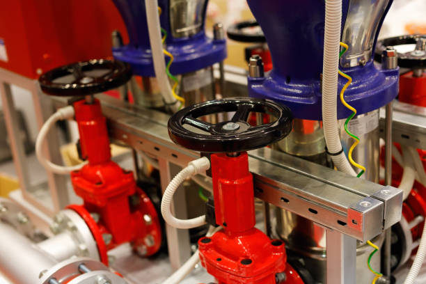
Pumps and valves for fire extinguishing system. Selective focus.

When Flooded Turn Around Don't Drown Sign, Indian Canyon, California, USA, September 2016

Flood crisis management with rescue operation after disaster outline concept. Global warming and water level rising risk awareness vector illustration. Emergency services working for city recovery.

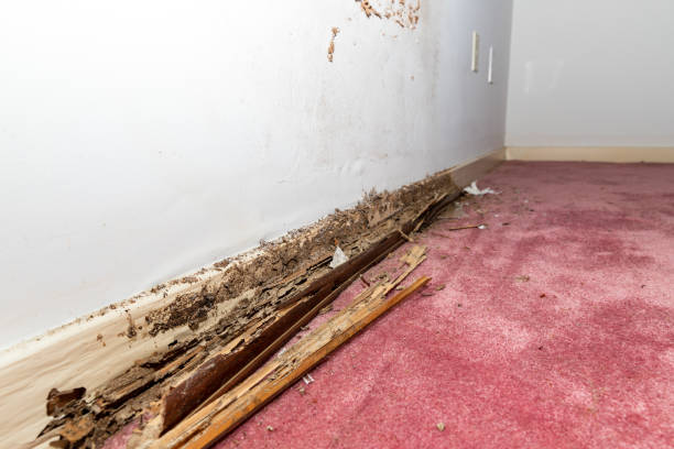
Damage assessment in flooded basement: mature contractor in squatting position, evaluates the damage on the wet floor
Stormwater management depicted with icons for water capture, ground infiltration, and flow control. Outline icons set.

Road closed for roadworks and danger of flooding with warning signs blocking driving of cars.

Insurance for car, property, travel, accident, life, medical. Insurance concept now includes options for freelancers and entrepreneurs Covers home insurance with additional options for natural

Sandbag to prevent flooding in the rainy season, preventive concept.

The Holy Heart Land - Talayluang in Sukhothai,Thailand. Monkey’s Cheeks or Kaem Ling (Thai name) project is a flood control project based on a suggestion of the King Bhumibol Adulyadej of Thailand
Flood protection concept icon. Case of pumped storage idea thin line illustration. Flood control techniques. Protecting of environment and people. Vector isolated outline RGB color drawing

A beautiful shot of a storm surge barrier and windmills in Zeeland province in the Netherlands on sunset

Concept of a mission inside a factory or plant, where toxic waste has destroyed everything. Man in radiation protection suit walks thorugh a pool of green and dangerous looking water while looking at a geiger counter.

Weir in a small dam / sluice - water reservoir engineering feature
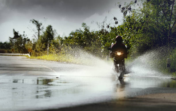
Motorcycle run through flood water after hard rain with water spray from the wheels .Stop action ( capture with the high speed shutter) and selective focus.

Irrigation is the process of artificially applying water to soil or plants. It's often used in areas with irregular rainfall or drought.
Calais, France - September 1, 2015: Vehicles queuing to take the security control and board ferries heading England at Calais port. Now port's security is even more busy controlling the flood of illegal migrants who try to reach Britain.