Images
Germany Map Regions Pictures, Images and Stock Photos
Browse 3,000+ germany map regions stock photos and images available, or start a new search to explore more stock photos and images.
Most popular
Germany map and flag - vector illustration

Germany 2-digit postcodes, zip vector map
Vector maps of the Germany with variable specification and icons
Map of Germany - high details vector illustration

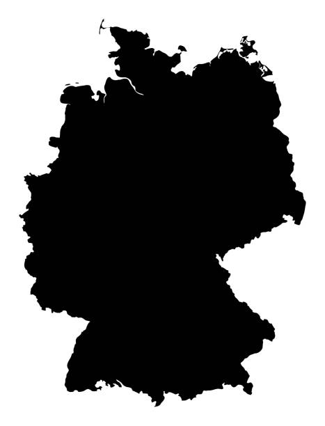
Germany editable outline map. German red border. Country name. Adjust line weight. Change to any color. Vector illustration.
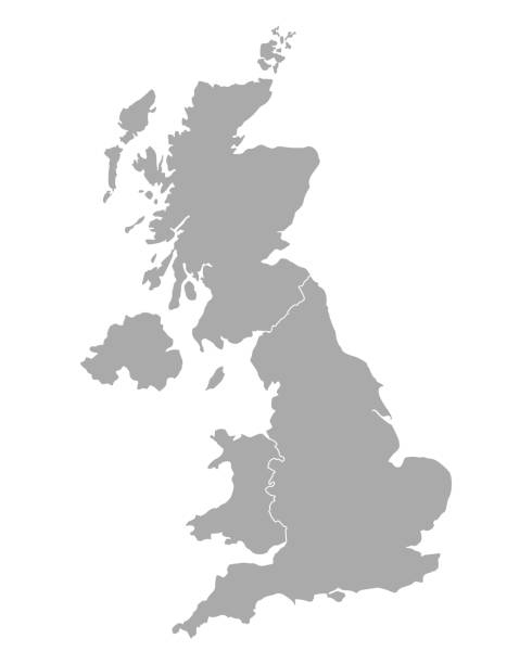
west european country germany and the federal states
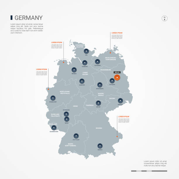
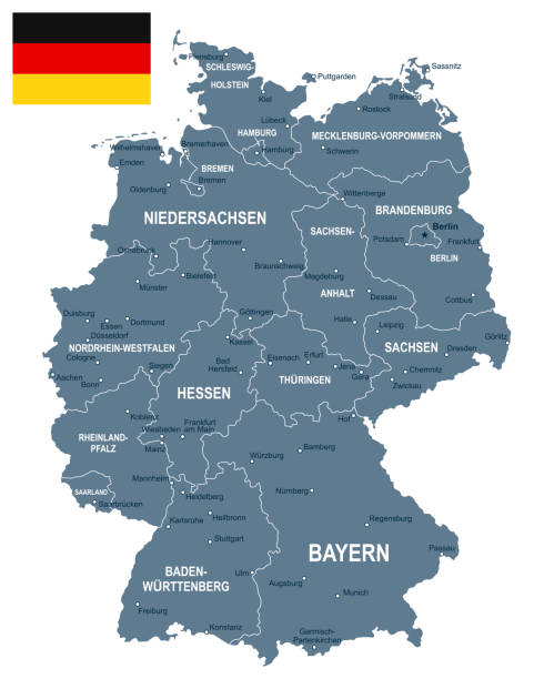
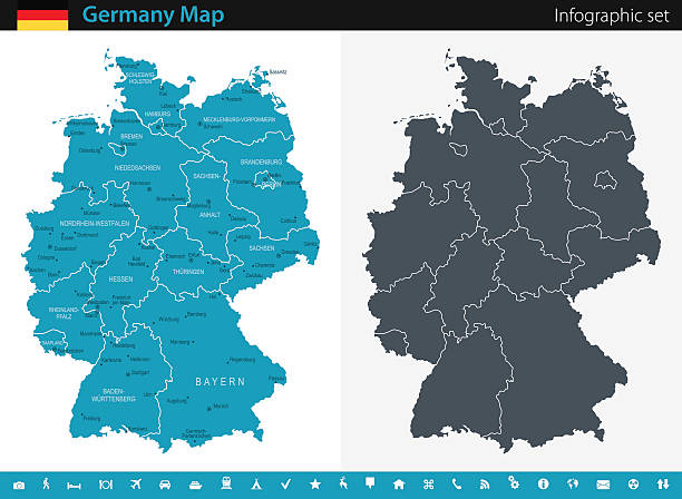
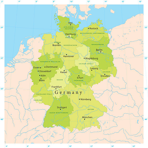
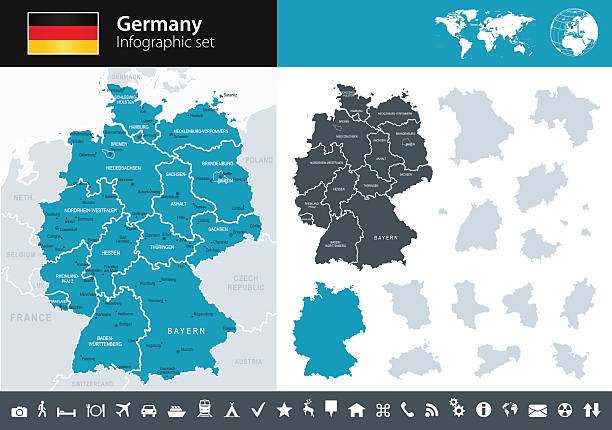
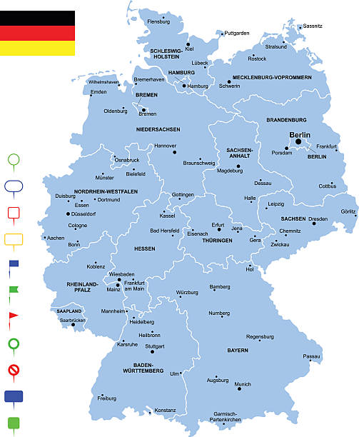
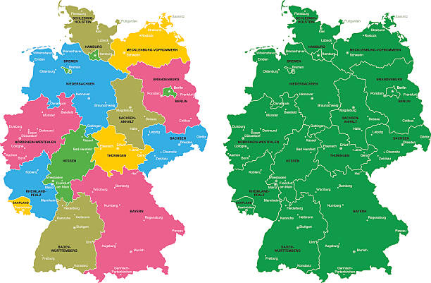
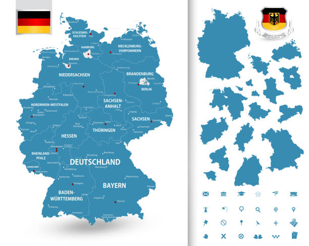
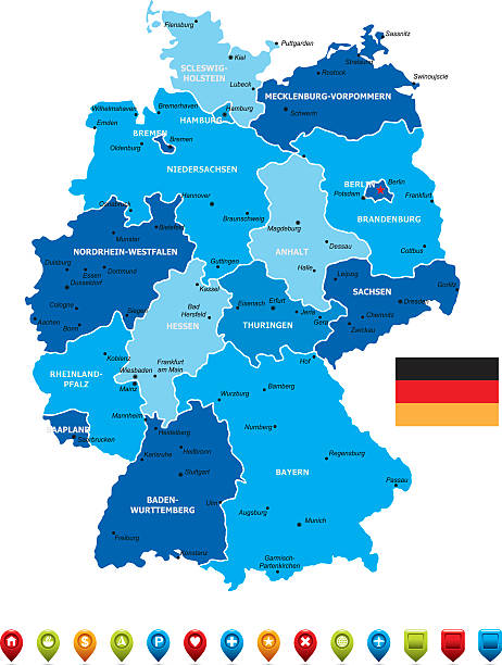
Germany map with borders, cities, capital and administrative divisions. Infographic vector map. Editable layers clearly labeled.

Vector of highly detailed map of Germany with administrative divisions - global colors for easy edit
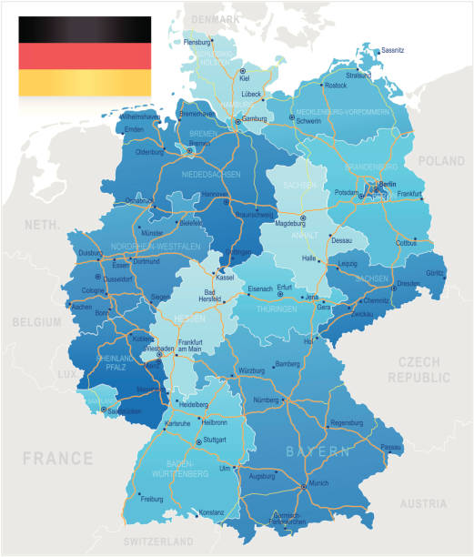
Highly detailed map of Germany with roads, administrative divisions and cities.

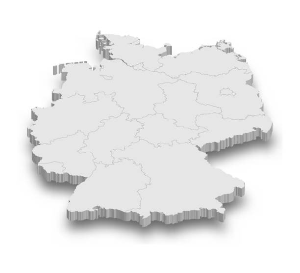
3d Germany white map with regions isolated on white background
Highly detailed vector map of the Federal Republic of Germany. File was created on July 4, 2011. The colors in the .eps-file are ready for print (CMYK). Included files: EPS (v8) and Hi-Res JPG.
Detailed map of Germany.

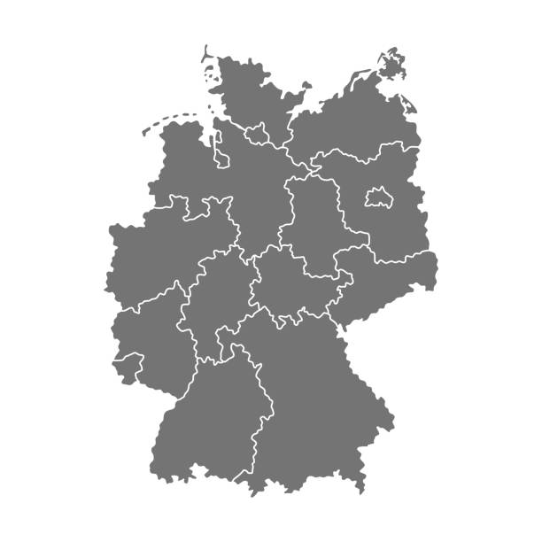
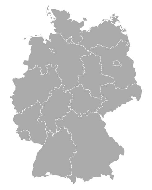
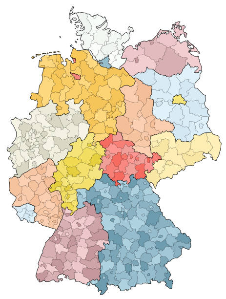
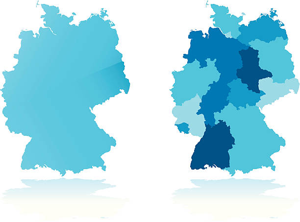
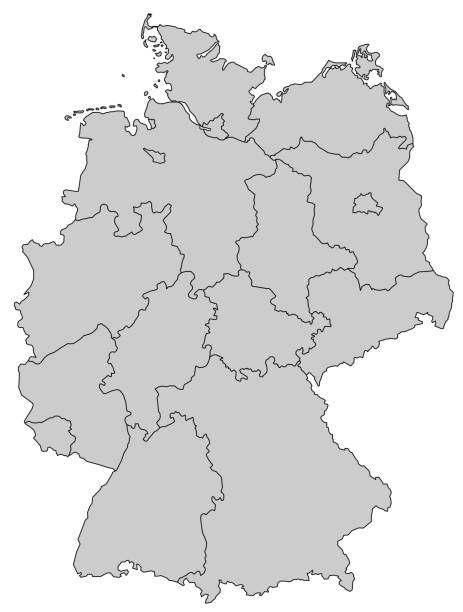
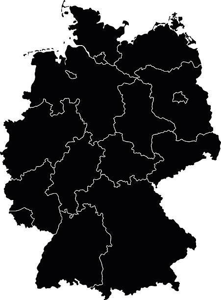
Administrative map of Germany with regions. Vector illustration isolated on white background


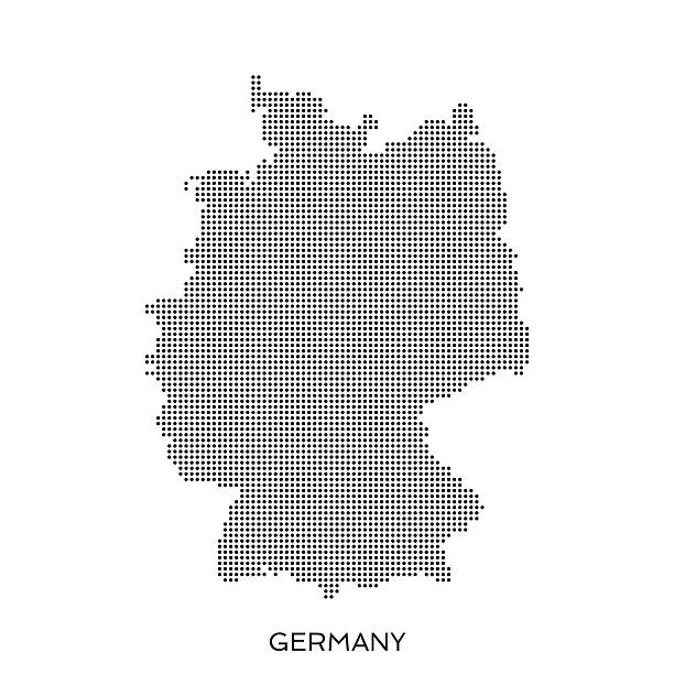
Germany halftone pattern dot map made from a grid of small circles. Dots are black on a plain white background
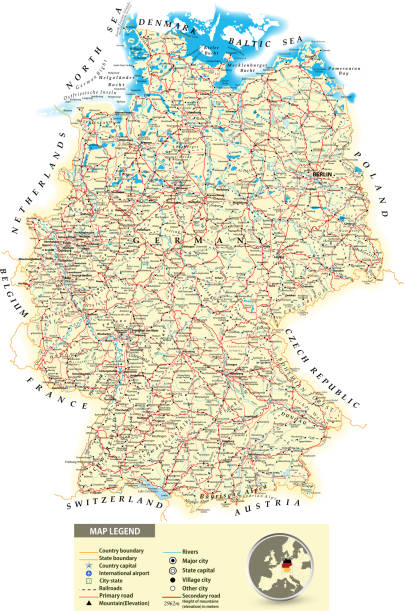
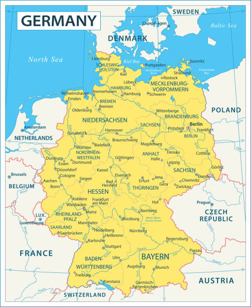
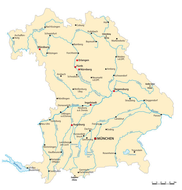
Large detailed road map of Germany with all cities, villages, water objects, mountains and airports.
http://s017.radikal.ru/i404/1110/87/2c00b7bbd3ec.jpg
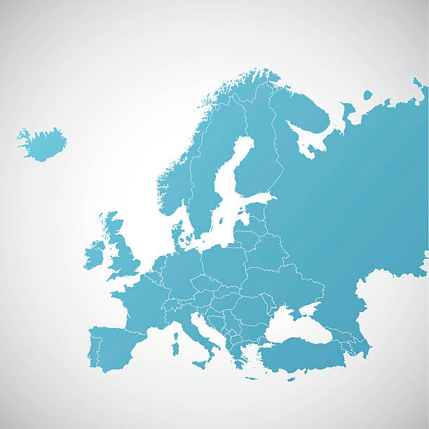
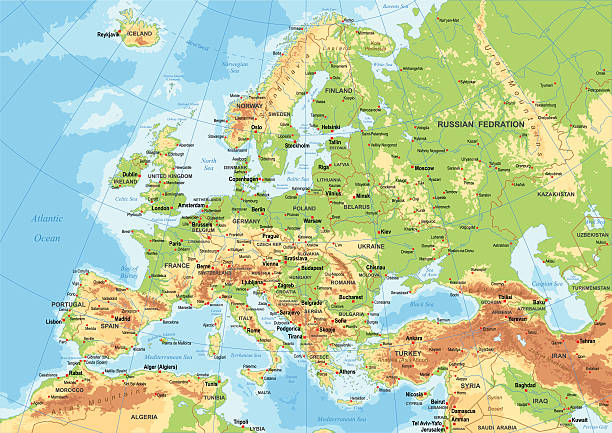
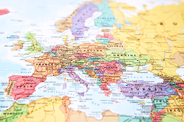
Map of Europe. Detail from the World Atlas.
Vector maps of Germany with variable specification and icons
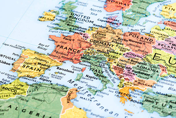
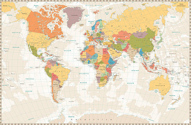
Highly detailed colored vector illustration of Europe map -.borders, countries and cities - illustration.
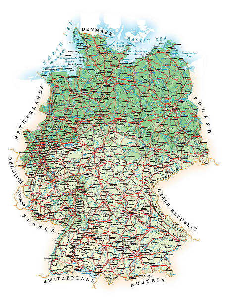
Map contains: - topographic contours - country and land names - cities - water objects - roads - railways Source map references: http://www.lib.utexas.edu/maps/europe/germany.jpg http://www.lib.utexas.edu/maps/europe/germany_rel_94.jpg http://www.vidiani.com/large-detailed-road-map-of-germany-with-all-cities-villages-and-airports/ Creation date: April 02, 2015 Software: Adobe Illustrator CS5 Used layers: 1 (detailed outline of the map)
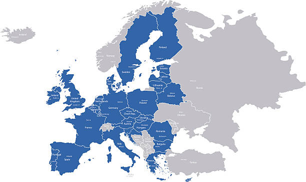
A map with European Union countries and their capitals.
Detailed map of Germany with pointers.
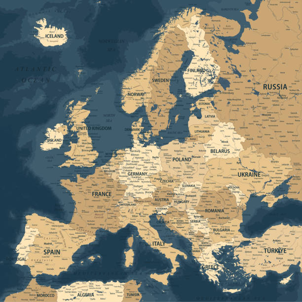
Europe - Highly Detailed Vector Map of the Europe. Ideally for the Print Posters
Vector of highly detailed map of Germany - The url of the reference files is : http://www.lib.utexas.edu/maps/europe/germany.pdf http://www.lib.utexas.edu/maps/europe/europe_ref_2010.pdf
Old retro World Map with lakes and rivers. Highly detailed vector illustration of large political World Map.
Detailed map of Germany.
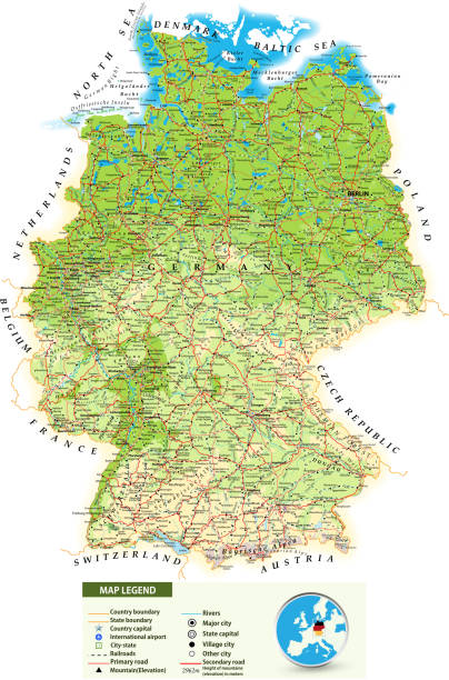
Large detailed road map of Germany with topographic contours(physical map), all cities, villages, water objects, mountains and airports.
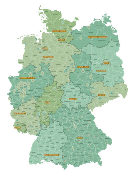
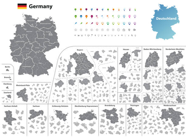
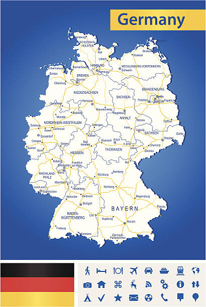
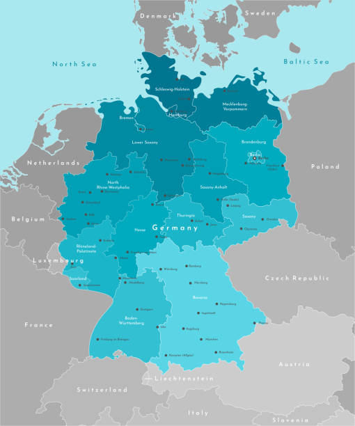
Highly detailed map of Germany with administrative divisions(states), cities and pictogram navigation icons.
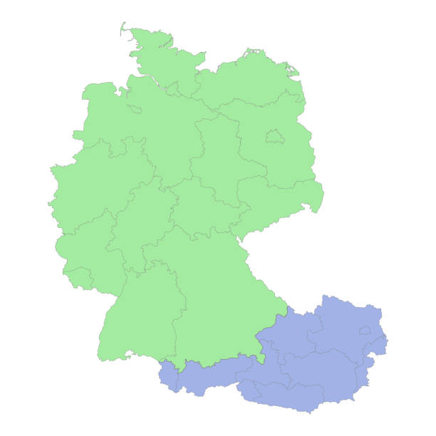
High quality political map of Germany and Austria with borders of the regions or provinces. Vector illustration
Vector modern illustration. Simplified geographical map of Germany and nearest european states. Blue background of North and Baltic seas. Names of Deutsch cities and provinces
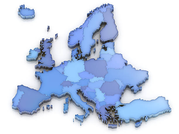
3D Europe map with countries.Digitally generated image.

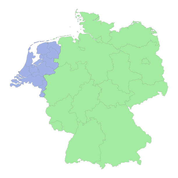
High quality political map of Germany and Netherlands with borders of the regions or provinces. Vector illustration

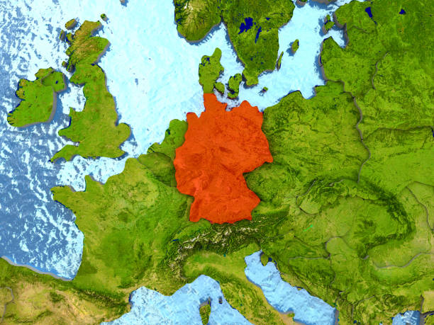
Top-down view of Germany highlighted in red with surrounding region. 3D illustration with highly detailed realistic planet surface. 3D model of planet created and rendered in Cheetah3D software, 4 Mar 2017. Some layers of planet surface use textures furnished by NASA, Blue Marble collection: http://visibleearth.nasa.gov/view_cat.php?categoryID=1484
High detailed Vector Map of Germany with Navigation Icons

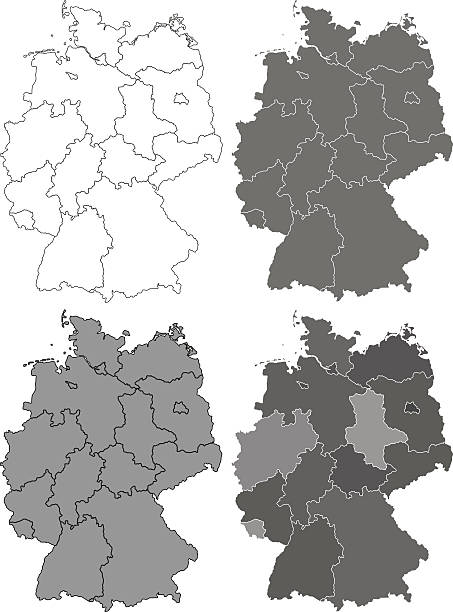
Illustration of the Germany maps
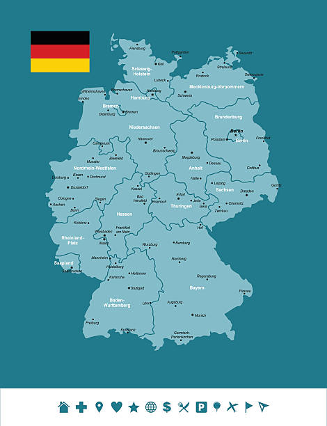
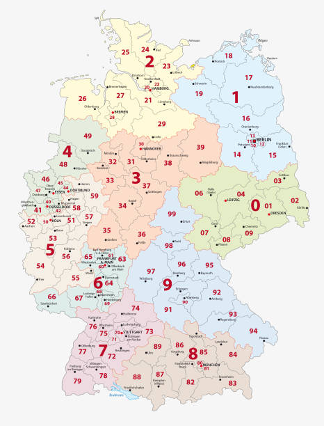
Vector map of Germany with Infographic icons
Map with Europe in focus.
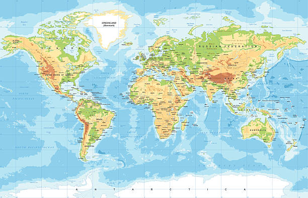
Highly detailed colored vector illustration of world map -
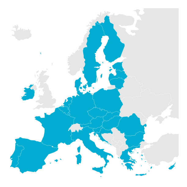
Political map of Europe with blue highlighted 27 European Union, EU, member states after brexit in 2020. Simple flat vector illustration.

stylized map of Germany. map concept
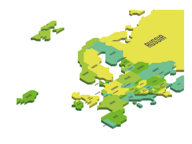
Isometric political map of Europe. Colorful land with country name labels on white background. 3D vector illustration

Detailed vector map of Germany with administrative divisions. File was created on October 19, 2012. The colors in the .eps-file are ready for print (CMYK). Included files: EPS (v8) and Hi-Res JPG (4312 × 5600 px).
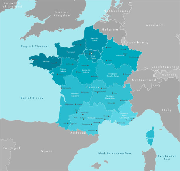
Vector modern illustration. Simplified geographical map of France and neighboring countries. Blue background of Mediterranean sea. Names of the cities and provinces
Next