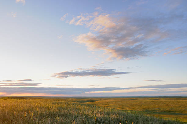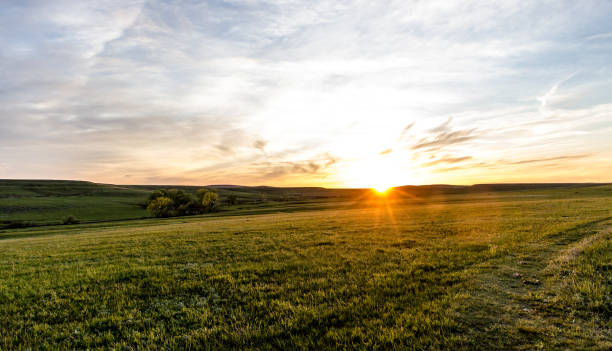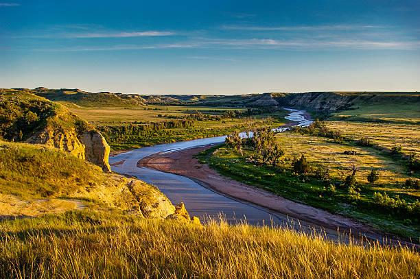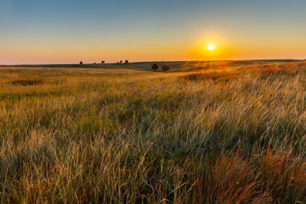
Great Plains Prairie at Sunrise
Browse 14,200+ great plains stock photos and images available, or search for buffalo great plains or great plains map to find more great stock photos and pictures.

The Wild horses that roam Theodore Roosevelt National Park in North Dakota
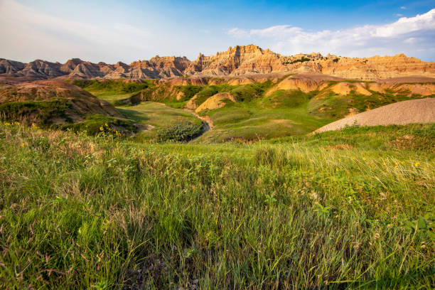
Rugged dirt and rock hills rise over a green grassed valley in the Badlands National Park in South Dakota.

Frenchman River valley in Grasslands National Park

summer sunrise over Nebraska Sandhills as seen from Courthouse and Jail Rocks
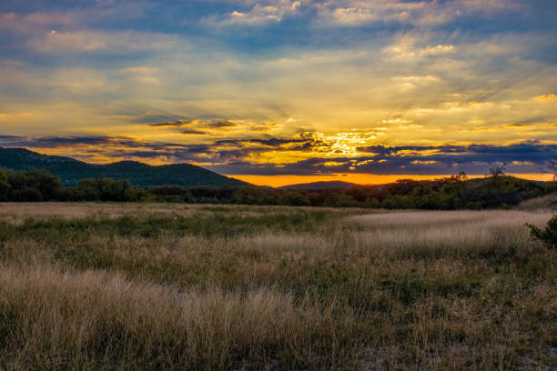
Sunrise coming over mountains behind a field of tall grass taken on the last day before the time changed in the Texas Hill Country
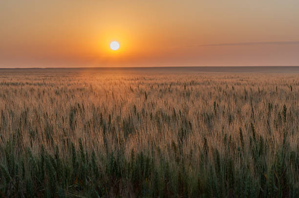
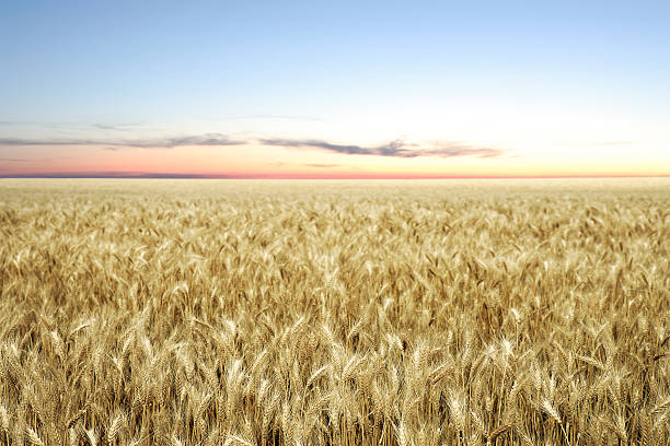
The sun is setting with an orange glow over a field of ripe wheat on the great plains of the United States.

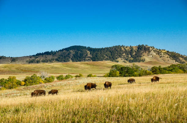
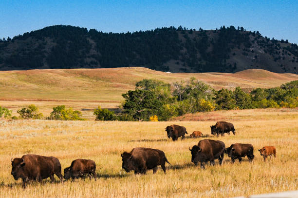
A herd of American Bison wander though the prairie of the Kansas Maxwell Prairie Preserve at Sunrise
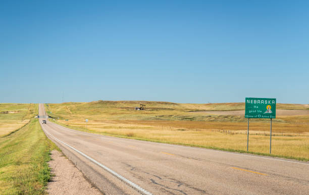
Nebraska , the good life, home of Arbor Day - roadside welcome sign at state border with Colorado, late summer scenery
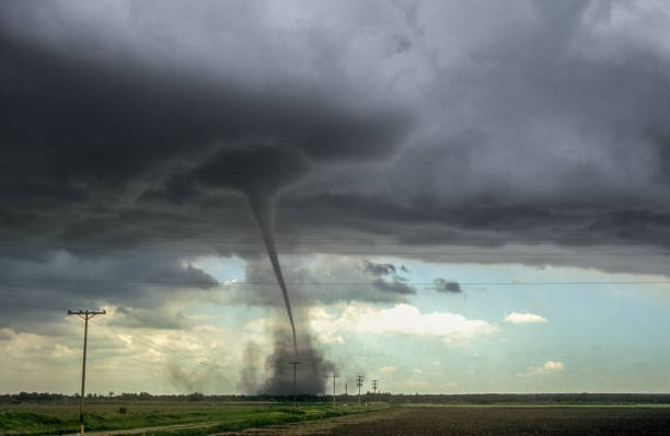
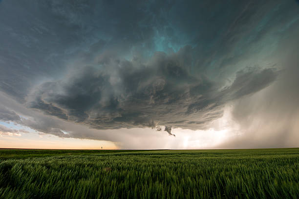
This tornado was situated just north of the airport of Lamar, Colorado. The tornado was hardly moving and on the ground for almost half an hour. It caused considerable damage to buildings and cars.
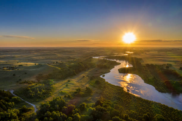
sunrise over Dismal River meandering through Nebraska Sandhills at Nebraska National Forest, aerial view of summer scenery

Aeria panoramic view of South Dakota farm land painted with the sunrise and autumn colors.
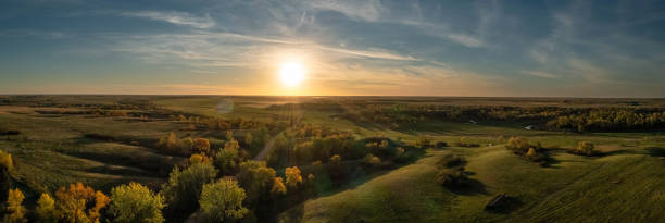
Aerial panorama of a sunset over the gentle rolling hills of the Great Plains with trees in their autumn colors in North Dakota.

Bright blue sky with puffy, white cumulus clouds over a dirt road through a farm field in Kansas.
Wheat field abstract border yellow golden grain fall autumn harvest background border pattern design.

Tepee poles on the Stoney Indian Reserve at Morley, Alberta, Canada

White, puffy clouds moving over remote dirt road and flat lands in the Great Plains, Oklahoma.Storm clouds that will later form into a tornadic supercell move rapidly across the Great Plains in Tornado Alley USA.

Scotts Bluff National Monument is located west of the City of Gering in western Nebraska

By the 1860s, bison had roamed the Great Plains for 10,000 years. They numbered in the tens of millions, charging across the flat landscape in such a cacophony that people called it the "Thunder of the Plains." For generations, they'd provided Native Americans with food, clothing, shelter, and even spiritual imagery. American settlers were already hunting the bison. Pouring west with guns, they frequently shot at the animals from trains for sport. "Buffalo" Bill Cody even made a career out of killing bison, which became a popular feature of his Wild West shows. In two years, he slaughtered 4,000.
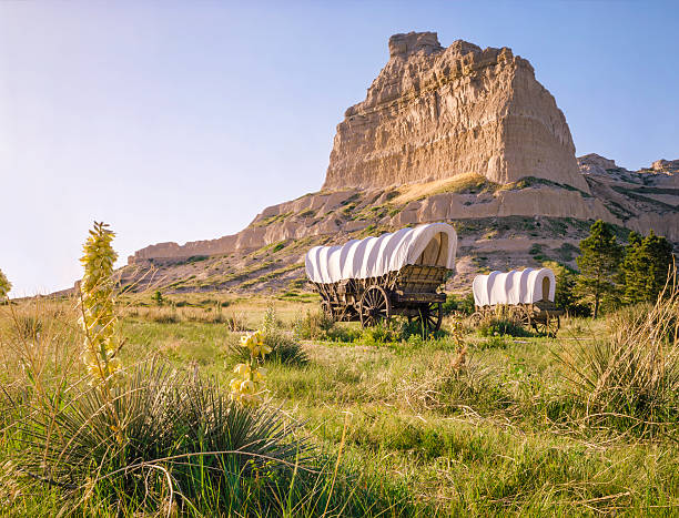
Covered wagons in front of rocky bluff at Scotts Bluff National Monument in Nebraska. This prominent bluff was an important landmark for those traveling on the Oregon Trail.

Buffalo herd on the prairie. Wood engraving, published in 1880.

A teepee on the prairie. Horizontal image. Colour. First Nations culture. Teepee is also correct spelling. The tipi is an iconic symbol of first nation's life on the great plains. Tipis were constructed of animal hide, poles, and had stone support at the base. Tipi rings are still visible in many locations on the prairies. Aboriginal culture, indian culture, first nations, and social history are all themes in the image. This tipi stands in southern Alberta at the Head Smashed In Buffalo Jump Historic site.

The discovery of gold in California the promise of fertile land lured estimated 300,000 to the Pacific Coast prior to 1860. Inthe Civil War, Congress enacted the Homestead Act entitling any head family, anyone over age of 21, or any veteran military service to 160 acres of land. With the end of the war, many took advantage of the offer. the westward trails with wagon trains loaded with all their worldly possessions. Before the end of the century America's frontier had been extended to the Pacific.

Grazing cattle in the Puszta in the hungarian Hortobagy

Roads running through the vastness of southern Alberta, Canada.

Blue cloudy sky background. Multicolored vibrant outdoors horizontal image.

Beautiful landscape of the high plains of central Montana.

Supercell thunderstorm in rural area. All hazards possible including wind, hail, lightening, tornado, heavy rain
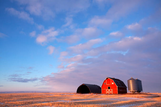
Low light hitting the barn, light is just skimming across the field. Saskatchewan , Canada. Image taken from a tripod.

Wagon Train of American Settlers. Historical view of the 19th century. Wood engraving, published in 1880.

Midwest Region of the United States, political map. Midwestern United States or American Midwest, a geographic region, south of the Great Lakes, bordered by Mid-Atlantic, the South and Great Plains.

Colorful sedimentary rock layers in Badlands National Park, South Dakota. Eroded yellow and red hills rise under a blue sky with clouds

Wild flower field in western Kansas, with fence and old wooden post.
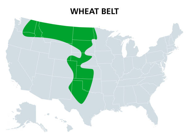
Wheat Belt of the United States, political map. Part of the North American Great Plains where wheat is the dominant crop. Extending from central Alberta, Canada, to Central Texas. Illustration. Vector

landscape of Nebraska Sandhills with two lonely trees, aerial view

Indian Territory on a 1880's map, Nowadays part ofOklahoma, Kansas, Nebraska, Missouri (Platte Purchase), Colorado, South Dakota, Montana,
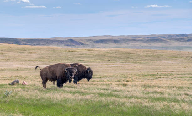
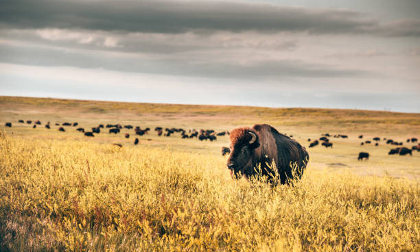
Two male plains bison on the prairie in Grasslands National Park, Saskatchewan, Canada

In 1956, 29 bison were brought from Fort Niobrara National Wildlife Refuge in Nebraska and released in the South Unit of Theodore Roosevelt National Park. Here they roamed freely on 46,000 acres of park land and by 1962 the herd had increased to 145 animals. Now there are many more animals within both sections of the park.
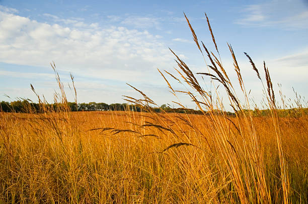
Autumn on a restored tall grass prairie; Indian grass (Sorghastrum nutans) in the foreground