Images
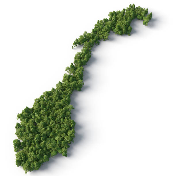
Green Map Of Norway Pictures, Images and Stock Photos
Browse 560+ green map of norway stock photos and images available, or start a new search to explore more stock photos and images.
Most popular
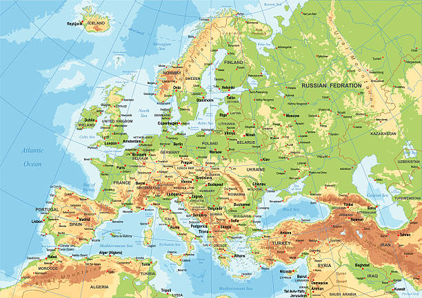
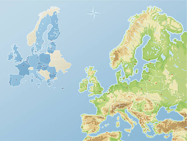
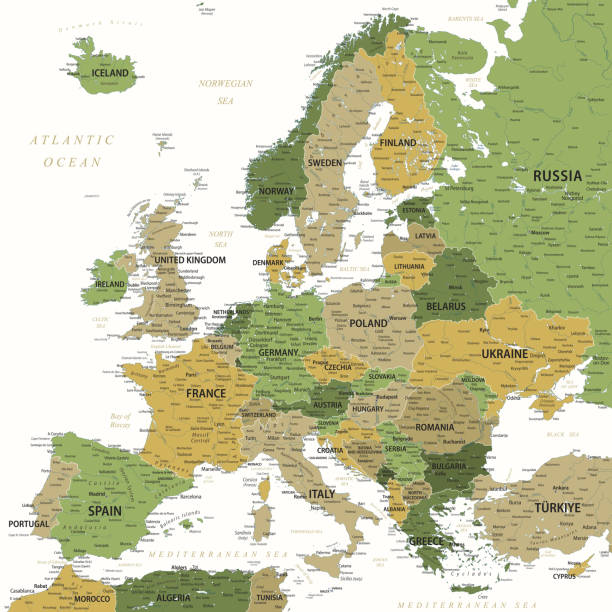
"Ultra detailed vector map of Europe. Including main rivers and lakes. Each country is grouped separately. You can zoom in well in the vector file. There's more detail visible than you can see in the preview window, because there's a limit of 6000 pixels. You may open the .eps-file in Photoshop at even higher resolutions. Great for super-size usage like trade fair walls. File was created on July 12, 2012. The colors in the .eps-file are ready for print (CMYK). Included files: EPS (v8) and Hi-Res JPG (6000 x 6000 px)."
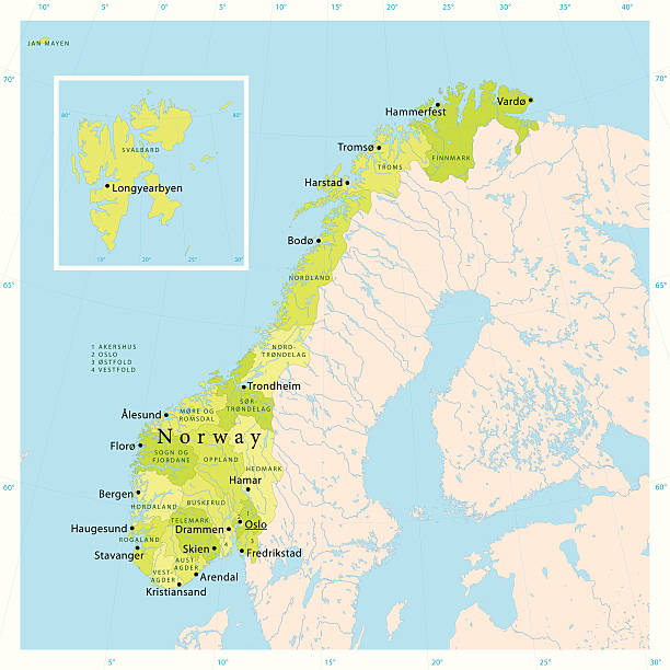
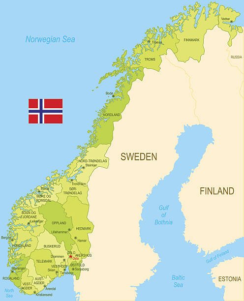
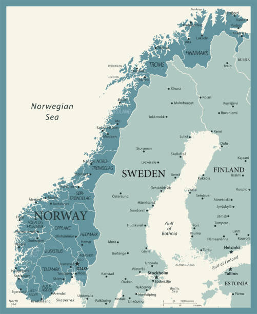
"Highly detailed vector map of Norway. File was created on November 16, 2011. The colors in the .eps-file are ready for print (CMYK). Included files: EPS (v8) and Hi-Res JPG."
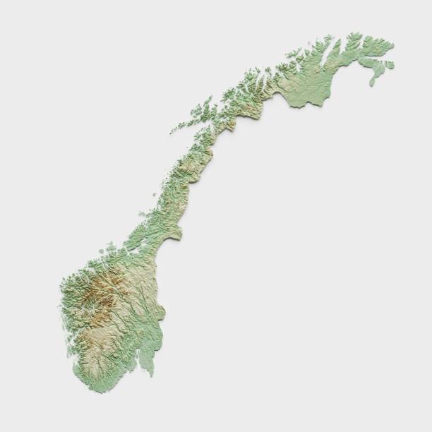
3D render of a topographic map of Norway. All source data is in the public domain. SRTM data courtesy of the U.S. Geological Survey.
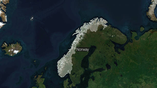
Credit: https://www.nasa.gov/topics/earth/images Take a virtual trip to Norway today and enhance your understanding of this beautiful land. Get ready to be captivated by the geography, history, and culture of Norway

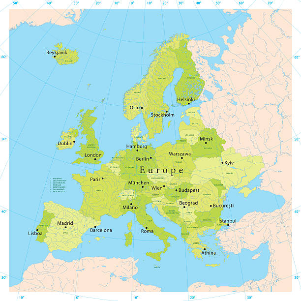
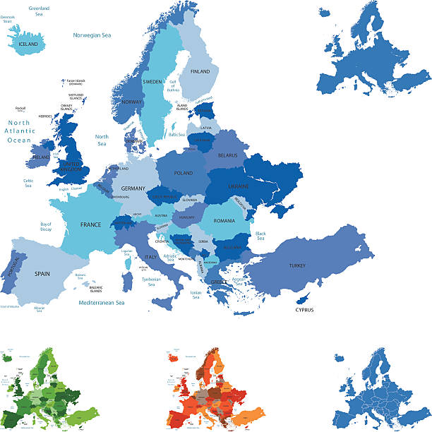
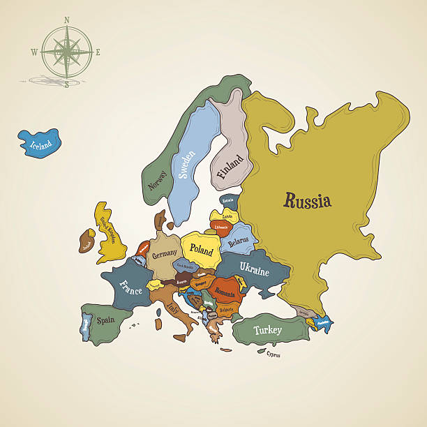
Map of Europe - Highly Detailed Vector illustration
http://dikobraz.org/map_2.jpg
Highly detailed colored vector illustration of Europe map -.borders, countries and cities - illustration.
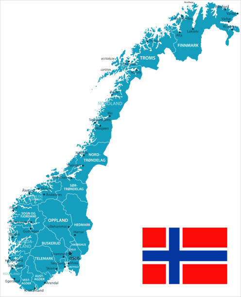
Map of Norway - Vector illustration
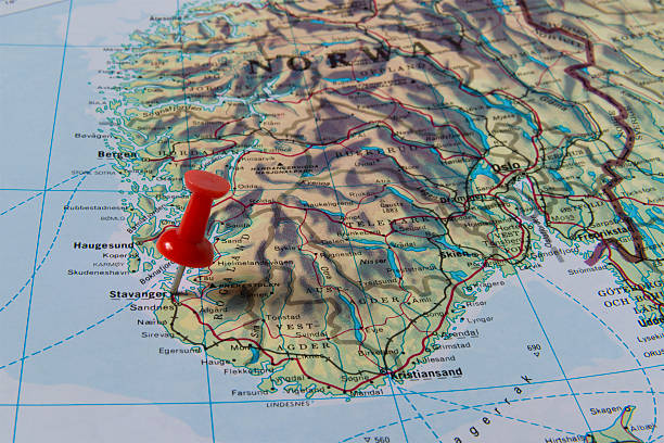
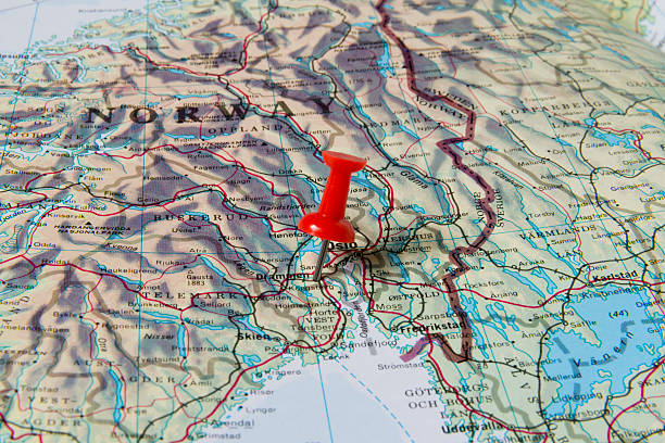
Stavanger marked with red pushpin on map. Selected focus on Stavanger and bright red puspin. Pushpin is in an angle. Southern parts of Norway can be seen on map.
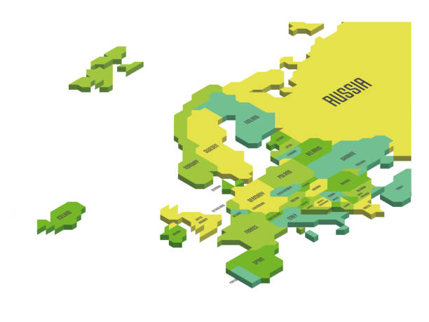
Isometric political map of Europe. Colorful land with country name labels on white background. 3D vector illustration
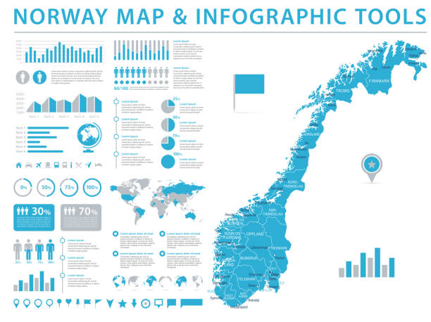
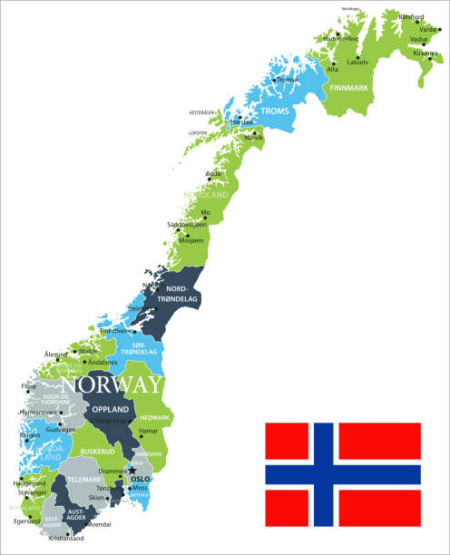
Norway Map - Detailed Info Graphic Vector Illustration
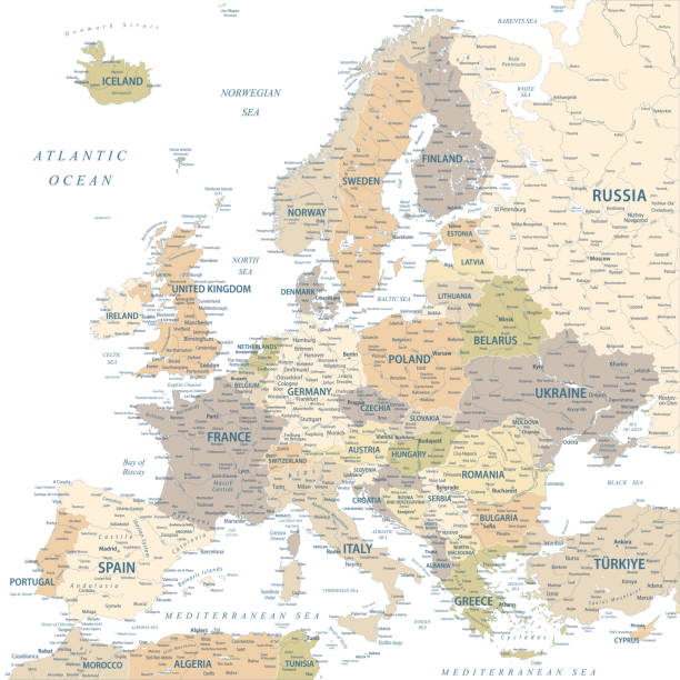
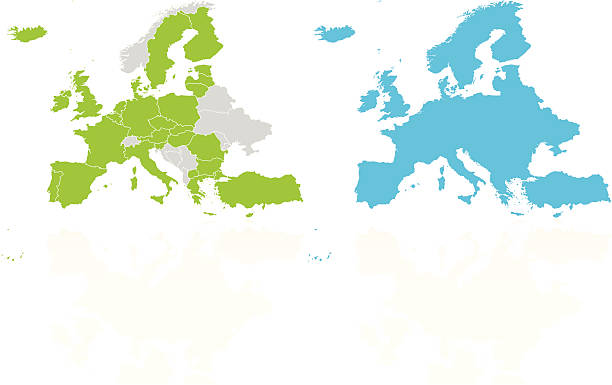
Reduced topography and political map of the European Union EU
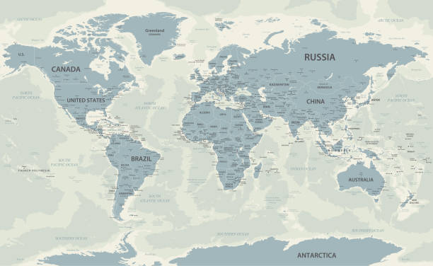
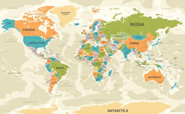
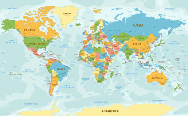
World Map with countries and national borders
Plastic recycling items simple line icon set. Packaging, cup, bag, container, bottle, brush, straw Stop plastic pollution
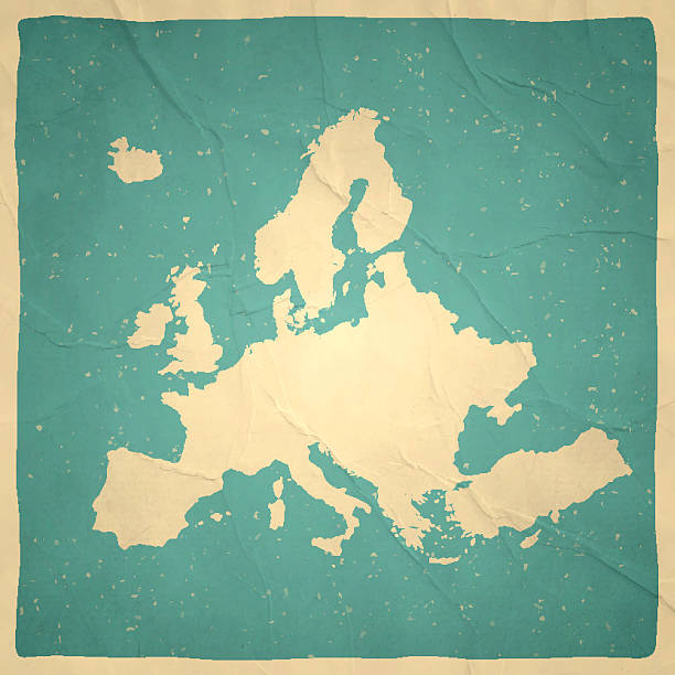
Map of Europe with a retro style, a vintage effect on an old textured paper.
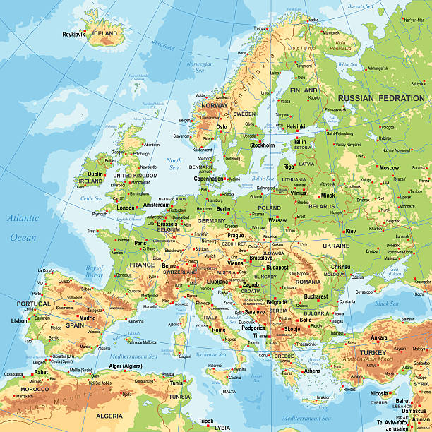
Highly detailed map of Europe for your design and products.
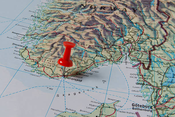
Kristiansand marked with red pushpin on map. Selected focus on Kristiansand and bright red puspin. Pushpin is in an angle. Southern parts of Norway can be seen on map.
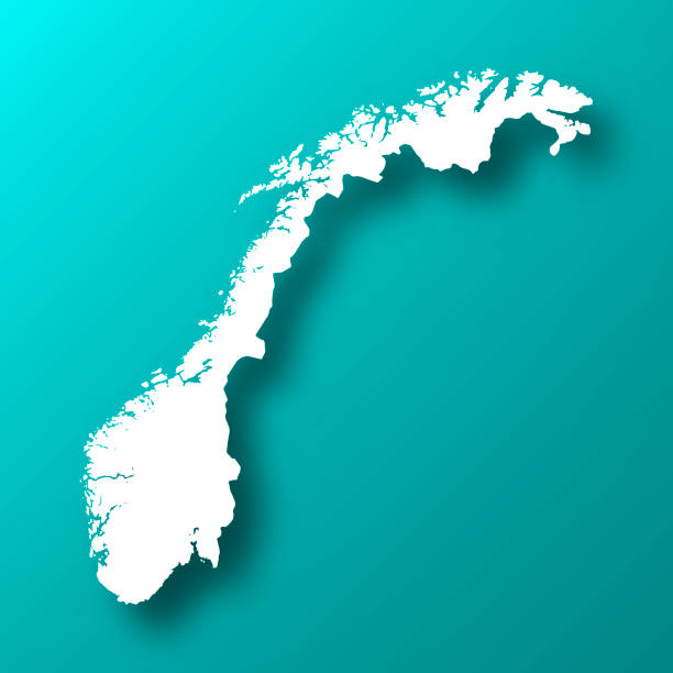
White map of Norway isolated on a trendy color, a blue green background and with a dropshadow. Vector Illustration (EPS10, well layered and grouped). Easy to edit, manipulate, resize or colorize.
Highly detailed colored vector illustration of Europe map -.borders, countries and cities - illustration


Heart shaped earth, Valentines Card banner. 3d illustration
Map of Norway - Vintage Vector illustration

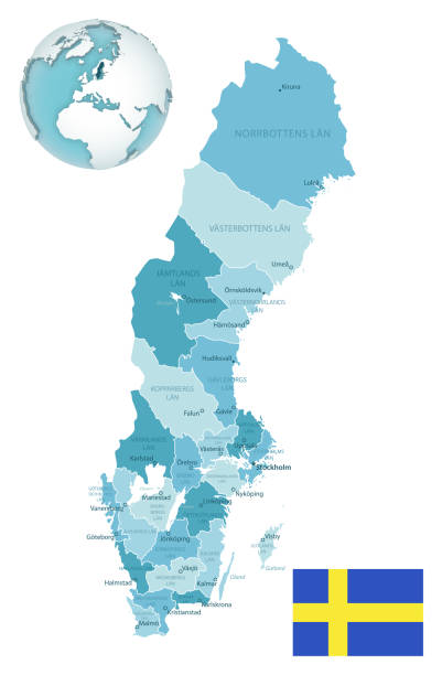
Sweden administrative blue-green map with country flag and location on a globe. Vector illustration
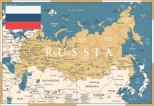
Map of Russia - Vintage Vector illustration


Europe Map - Color Detailed Vector Illustration


Map of Russia - Vintage Vector illustration
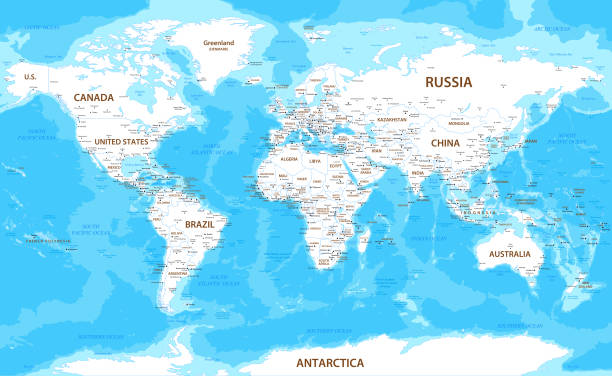
High detailed World Map with countries and national borders
High detailed World Map with USA, France, Germany and Mexico. Vector Illustration with national borders
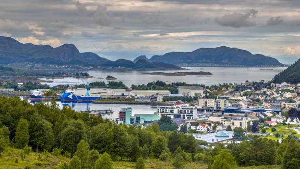
Aerial view over Ulsteinvik town in fjord Norway

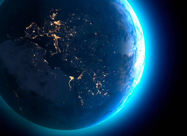
Physical map of the world, satellite view of Europe and North Africa. Night view. City lights. Globe. Hemisphere. Reliefs and oceans. 3d rendering. Elements of this image are furnished by NASA https://visibleearth.nasa.gov/view.php?id=74443
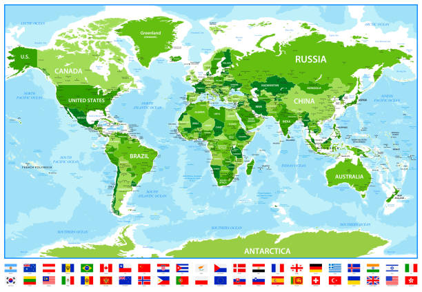
High detailed World Map with Canada, USA, France, Brazil and Spain. Vector Illustration with countries and most popular flags

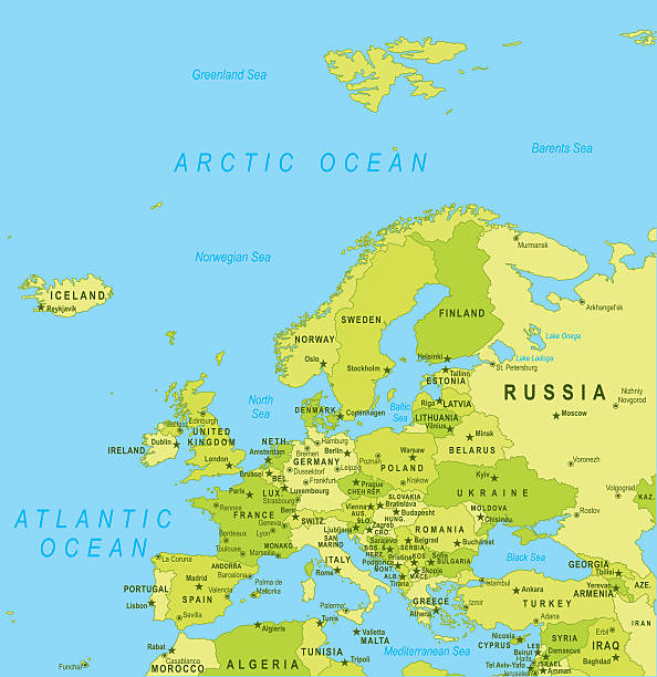
Highly detailed vector map of Baltic Sea Area with states, capitals and big cities.
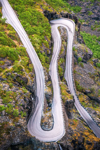
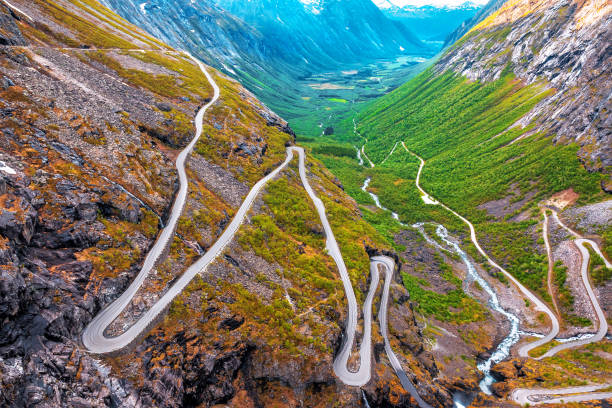
amazing view on troll road serpentine in Norway

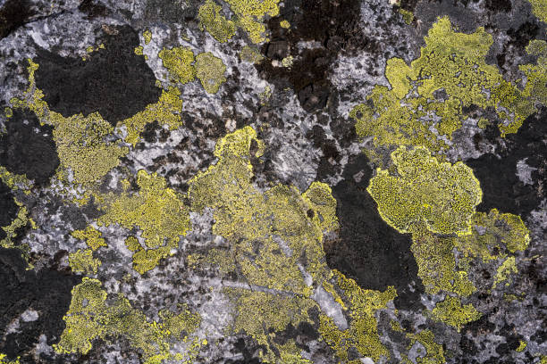
Lichen like geographic map on rock of Hardangervidda plane after melting snow at the end of April. It is in the biggest National Park in Europe. This is the last days of Skiing season in NP and time for reindeer for its summer resort (food)..


Europe - Highly Detailed Vector Map of the Europe. Ideally for the Print Posters
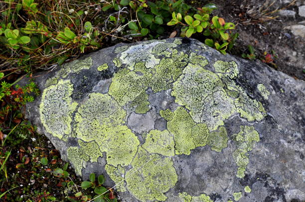
Closeup on Map lichen Rhizocarpon geographicum growing on a stone
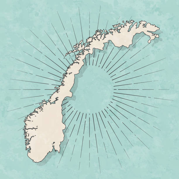
Map of Norway in a trendy vintage style. Beautiful retro illustration with old textured paper and light rays in the background (colors used: blue, green, beige and black for the outline). Vector Illustration (EPS10, well layered and grouped). Easy to edit, manipulate, resize or colorize.
http://dikobraz.org/map_2.jpg
High detailed Vintage World Map with national borders and cities
Vikings - modern line design style icons set. Scandinavian culture in medieval period, signs and symbols, history idea. Map, longboat, spear, runes, axe, feast, helmet, trade, mythology, ale images
Europe - Highly Detailed Vector Map of the Europe. Ideally for the Print Posters
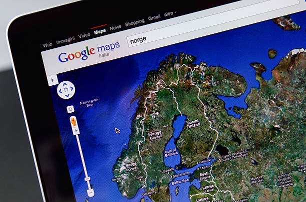
Pescara, Italy - July 25, 2011: Image of Scandinavian countries with Norway, Sweden and Finland from the satellite map of Google.
Hand drawn vector illustration of a map of Europe.
Drammen marked with red pushpin on map. Selected focus on Drammen and bright red puspin. Pushpin is in an angle. Southern parts of Norway can be seen on map.
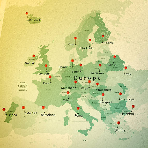
3D Render of a Map of Europe with Straight Pins at the Position of important Cities. Vintage Color Style. Very high resolution available!
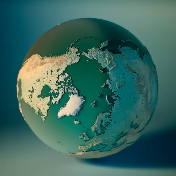
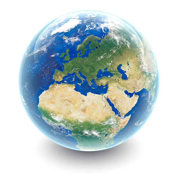
North Pole Globe 3D Render of the Planet Earth, Depth of field effect. Made with Natural Earth. URL of source data: http://www.naturalearthdata.com Relief texture SRTM data courtesy of NASA. URL of source image: http://reverb.echo.nasa.gov The source data is in the public domain.

Map of Norway - Vector illustration
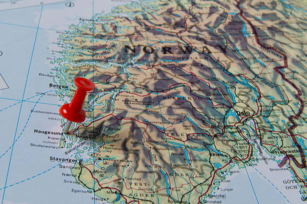
Haugesund marked with red pushpin on map. Selected focus on Haugesund and bright red puspin. Pushpin is in an angle. Some parts of Norway can be seen on map.
Next