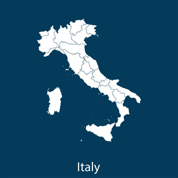
Italy political map of administrative divisions - regions. Solid blue blank vector map with white borders.
Browse 5,600+ italy political map stock photos and images available, or start a new search to explore more stock photos and images.
Italy political map of administrative divisions - regions. Solid blue blank vector map with white borders.

Starfield and Earth from: shadedrelief.com

Italy map - highly detailed vector illustration
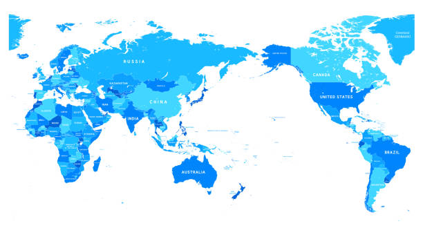
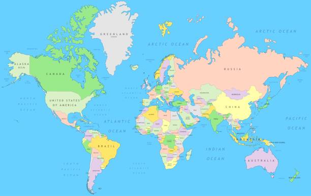
vector of the World map
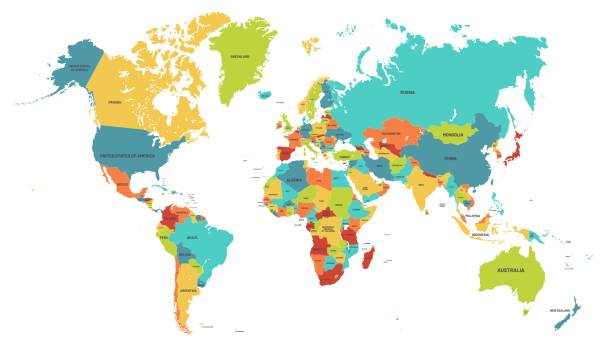
Colored world map. Political maps, colourful world countries and country names. Geography politics map, world land atlas or planet cartography vector illustration
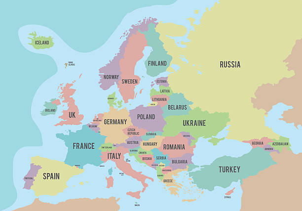
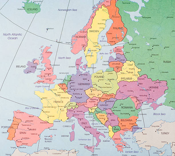
Political map of Europe with different colors for each country and names in English. Vector illustration.
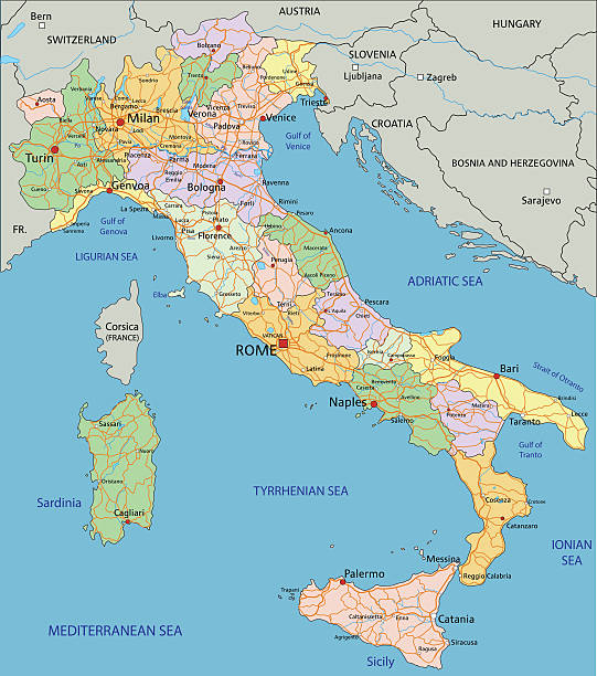
Italy - Highly detailed editable political map with separated layers.

dark earth map with glowing details of city and human population density areas. wiew of europa. suitable for technology, future and science themes. 3d illustration

Map of Italy - Vector illustration

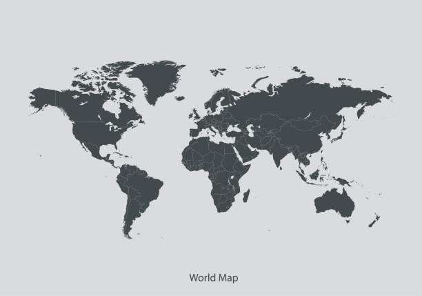
Detailed retro political World Map. Highly detailed vector illustration of World Map.
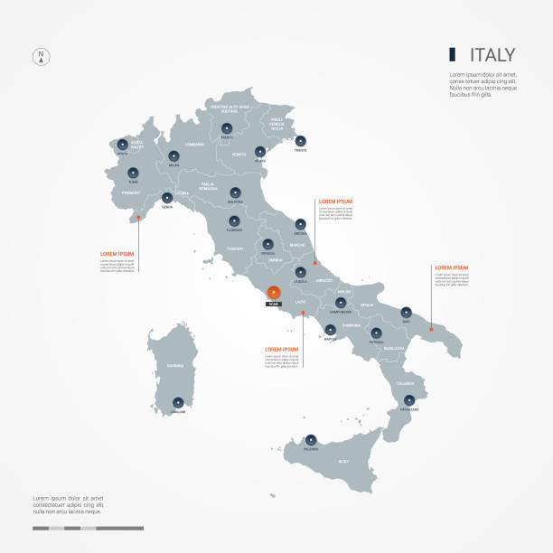
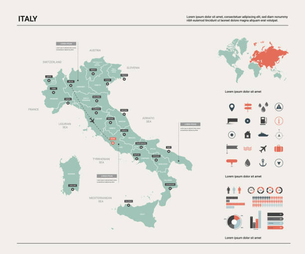
Italy map with borders, cities, capital and administrative divisions. Infographic vector map. Editable layers clearly labeled.
simple set of thin line globe related icons elements for travel and tourism concepts and apps
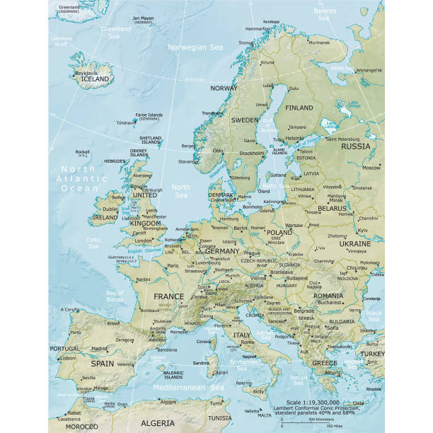
Vector illustration of the physical map of Europe Reference map was created by the US Central Intelligence Agency and is available as a public domain map at the University of Texas Libraries website. https://www.cia.gov/library/publications/resources/the-world-factbook/graphics/ref_maps/physical/pdf/europe.pdf

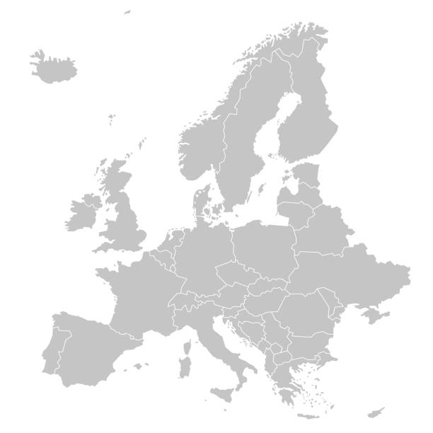
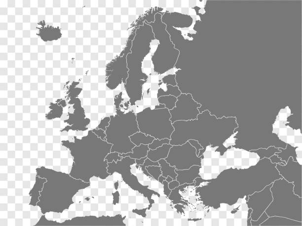
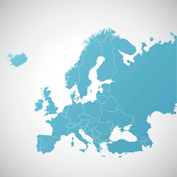
vector of the Europe map on transparent background

Italy map background with states. Italy map isolated on white background. Vector illustration
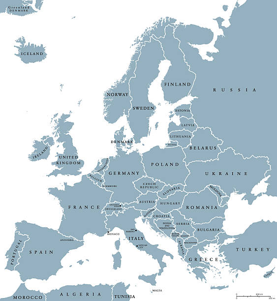
Europe countries political map with national borders and country names. English labeling and scaling. Illustration on white background.
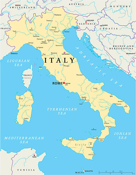
Political map of Italy with capital Rome, the Vatican and San Marino, with national borders, most important cities, rivers and lakes. Vector illustration with English labeling and scaling.
vector of the Italy map

Italy - Highly detailed editable political map . Organized vector illustration on seprated layers.
Vector detail atlas in Mercator projection

Vector illustration in HD very easy to make edits.
Destination Europe. http://i70.photobucket.com/albums/i102/mzelkovi/maps-1.jpg

Colorful vector Italy map with regions and main cities

Detailed Italy political map. Organized vector illustration on seprated layers.

Colorful vector Italy map with regions and main cities

vector of the Italy map

Map of Italy - Vintage Vector illustration

Map of Italy - highly detailed vector illustration

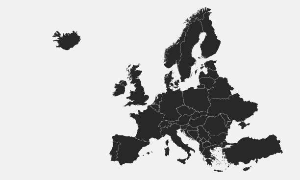
European countries borders in a flat style isolated on white background. Vector template.

Vector illustration in HD very easy to make edits.

Map of Italy - Vector illustration

Italy vector map. Editable template with regions, cities, red pins and blue surface on white background.

vector of the Italy map
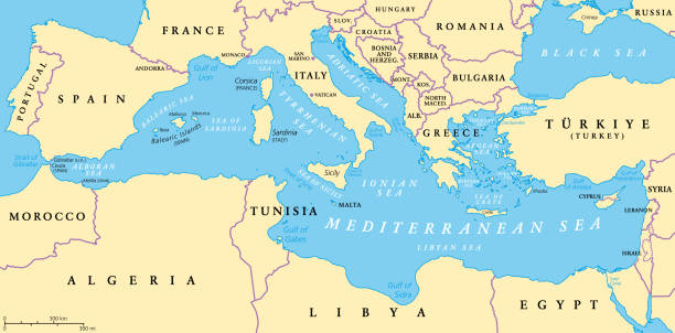
The Mediterranean Sea, political map with subdivisions, straits, islands and countries. Connected to the Atlantic Ocean, surrounded by the Mediterranean Basin, almost completely enclosed by land.

Italy map outline with stars and lines abstract framework. Communication, connection concept. Modern futuristic low polygonal, wireframe, lines and dots design. Vector illustration.

vector of the Italy map

Europe map region. Europe union country map. European region map. EPS 10

European regions on Europe political map. All data are in layers for easy editing vector map. Background for your infographics.

Detailed political World Map: countries, cities, water objects. All elements are separated in editable layers clearly labeled.