Background of Japan. Japanese flag and geographical territory of Japan.
Browse 580+ japan flag map stock photos and images available, or search for korea flag map to find more great stock photos and pictures.
Background of Japan. Japanese flag and geographical territory of Japan.

Japan Map flag Vector illustration eps 10

Detailed vector illustration of the Japan map with the national flag on it.

Japanese flag over cheap plastic map pointing Tokyo
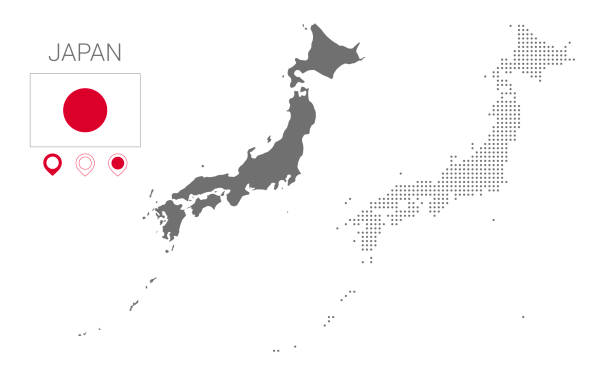
Map of Japan silhouette, Japan map dotted, Flag of Japan. Vector illustration flat

vector illustration of Japan map and flag

A single line drawing of a Japanese flag. Continuous line Japan icon. One line icon. Vector illustration
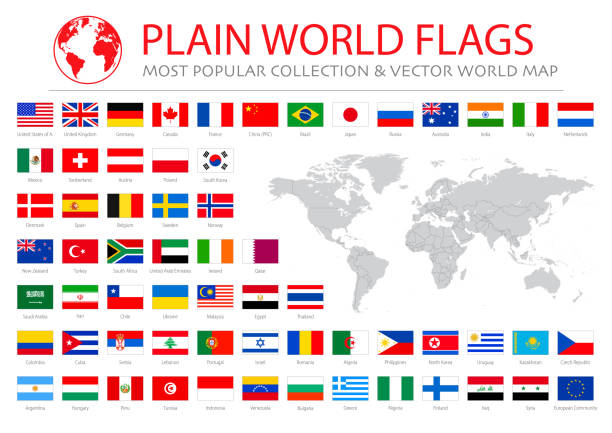
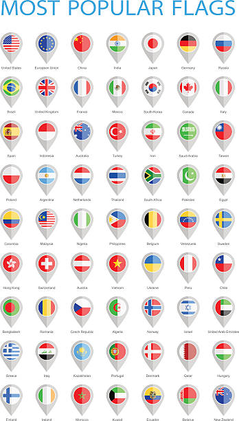
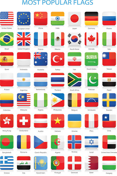
Collection of Most Popular World Flags:

Japan geographical borders isolated on white background. Flag of Japan. Vector flat cliparts.

Japanese flag map pointer abstract layout. Vector illustration.

Global Connections, Business, Internet, Country, US, Japan

Set of 16 national flags on map silhouettes of most important countries in the world - Canada, USA, Mexico, Brazil, UK, France, Spain, South Africa, Germany, Italy, Turkey, India, Russia, China, Japan and Australia. Grunge effect added, isolated on white background.

World dot map with Japan highlighted showing sphere of influence.
Global flags in vector format. EPS and Hi-res JPG included.

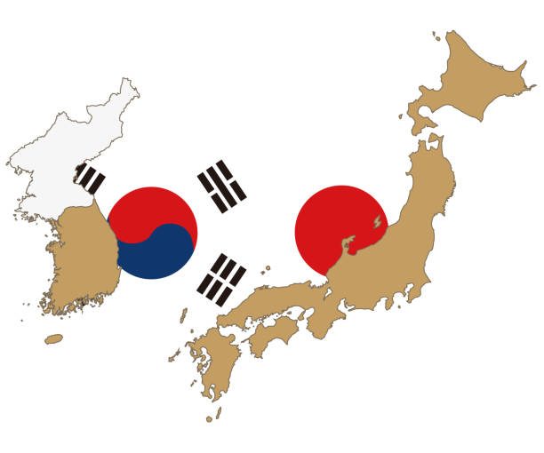
Conflict between China and Japan, male fists - governments conflict concept
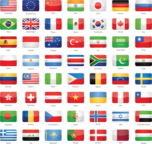
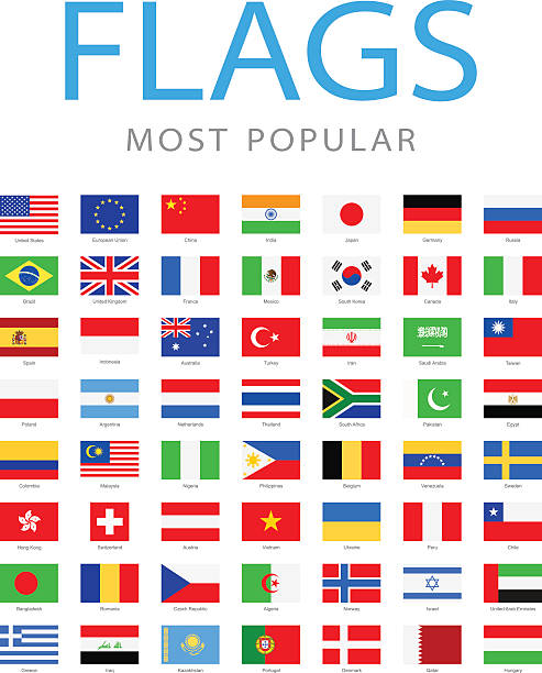
Collection of Most Popular World Flags:

The people of earth united around the world. Symbol of peace and harmony.
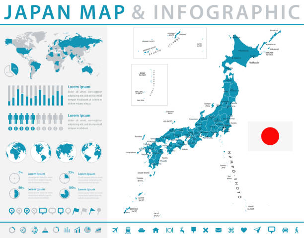
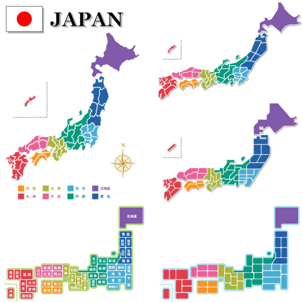
Map of Japan - Infographic Vector illustration

World dot map with Japan highlighted showing sphere of influence.

Vector Japan map with FlagI have used http://legacy.lib.utexas.edu/maps/middle_east_and_asia/japan.jpgaddress as the reference to draw the basic map outlines with Illustrator CS5 software, other themes were created by myself.

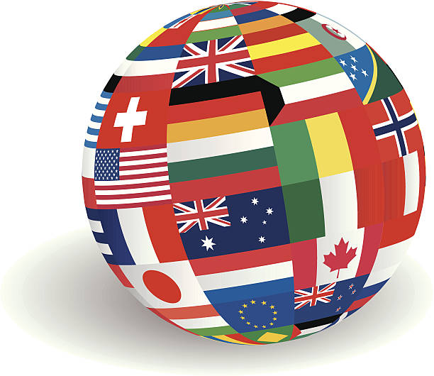
Vector illustration of world flags sphere.
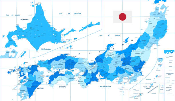
Detailed Political Map of Japan. Cities and towns. Blue color. Vector illustration.

Japan map with shadow effect presentation sample

isolated twenty office chairs with flags of g20 countries and earth in the center.3d render.Map:http://visibleearth.nasa.gov/view_rec.phpid=8392

Vector children with japan flagsI have used http://legacy.lib.utexas.edu/maps/middle_east_and_asia/japan.jpgaddress as the reference to draw the basic map outlines with Illustrator CS5 software, other themes were created by myself.
Japan - detailed country map with cities and regions. Infographic icons. Vector illustration

Japan Map white Shaded relief Color Height map on black Background 3d illustrationSource Map Data: tangrams.github.io/heightmapper/,Software Cinema 4d

Render of a chessboard decorated a map of the earth and with pieces decorated with the flags of the G7 nations: Canada, USA, UK, France, Italy, Germany and Japan.The Earth map is a public domain image from NASA's Visible Earth project: https://visibleearth.nasa.gov/view.php?id=73884
Japan flag - flat collection. Flags of different shaped twelve flat icons. Vector illustration set

Map of Japan - Vector illustration

Map of Japan. White color. Vector illustration.