Images
Land Planning Pictures, Images and Stock Photos
Browse 121,800+ land planning stock photos and images available, or search for land planning icon to find more great stock photos and pictures.
Most popular


Architect wearing site safety gear and holding a set of plans whilst surveying a new building plot

Cadastre Map And City Building Survey On Laptop
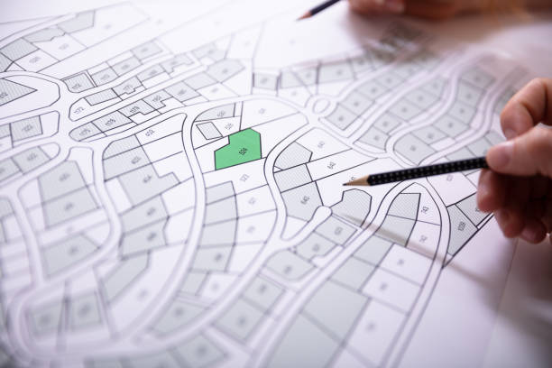
Close-up Of Human Hand Holding Pencil Over Paper Cadastre Map


Silhouette of engineer and construction team working at site over blurred background for industry background with Light fair and bokeh. Create from multiple reference images together.

Aerial view looking directly down on homes in a planned exclusive residential community in the Scottsdale area of Arizona.

Male and female architects discussing over blueprint at construction site

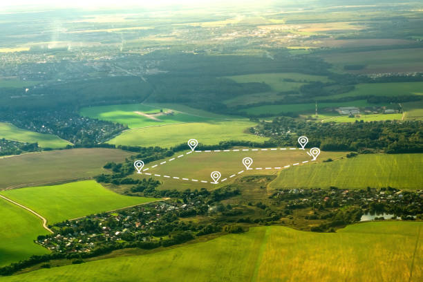
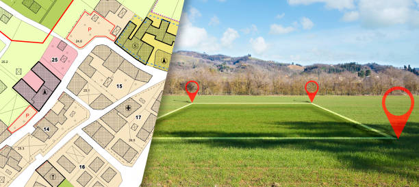
Land plot in aerial view. Gps registration survey of property, real estate for map with location, area. Concept for residential construction and development. Also home, house for sale, buy, purchase.


Concept of buying or building a new home. Male hand showing, offering a new dream house at the empty field with copy space

Parcel Line Icon Design with Editable Stroke. Suitable for Infographics, Web Pages, Mobile Apps, UI, UX, and GUI design.

Green ecological house in empty field at sunset concept for construction and real estate

Aerial view of a residential subdivision in the suburbs of Houston, Texas consisting of large luxury homes and manicured landscaping.

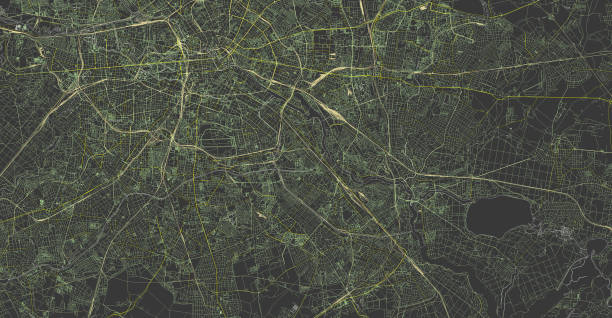
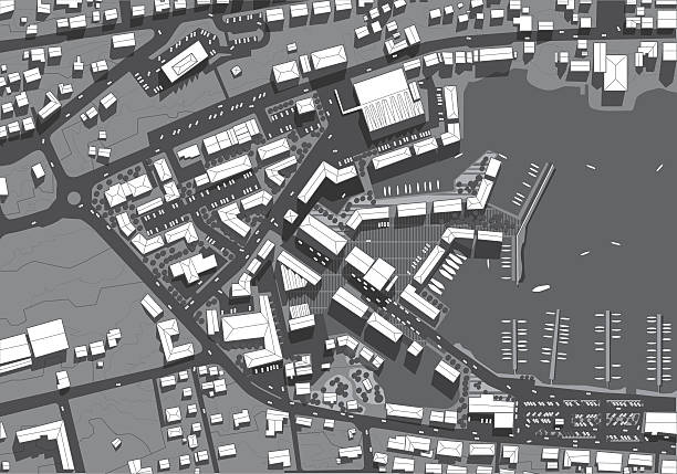
detailed large map of city berlin. 3d illustration


Stock Photograph of an African American / Afro-Caribbean male working with large computer screens & compute Aided design. He’s designing built in insulation structures in domestic homes .

Topographic map background with space for copy. EPS 10 file. Transparency effects used on highlight elements.

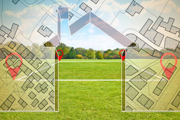
Beautiful Custom House Drawing and Ghosted House Above Green Landscape.


Beautiful Custom House Drawing and Ghosted House Above Grass Field.


An aerial view of a suburban neighborhood.

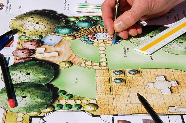
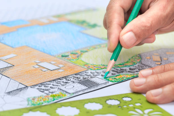
Landscape Design. Please review my other landscape graphic drawing photographs.


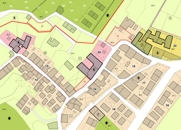
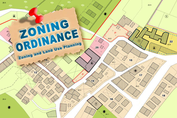
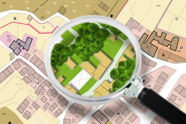
Imaginary cadastral map of territory with buildings, roads and land parcel - concept illustration with copy space on colored background.
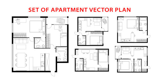
Architecture plan apartment set, studio, condominium, flat, house. One, two bedroom apartment. Interior design elements kitchen, bedroom, bathroom with furniture. Vector architecture plan. Top view.


Close-up of women with retro car reading road map and making decisions about route

A survey crew using a rover with a smart antenna that uses visual positioning to map points on a construction site. They are working in the North East of England on a green field site and are talking while also using a digital tablet.

Picture of male construction engineer working on building site

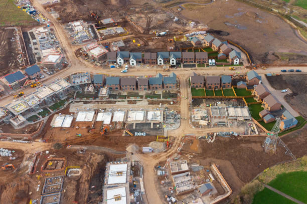
Aerial view looking down on new build housing construction site in England, UK


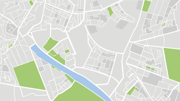
urban city plan EPS10 Vector


A business team looks out for their business future.


Close-up Of A Businessperson Analyzing Cadastre Map On Computer In The Office


Model detatched house in empty green grass field at sunset background concept for construction and real estate
Next