Images
Map Of Aalborg Denmark Pictures, Images and Stock Photos
Browse 140+ map of aalborg denmark stock photos and images available, or start a new search to explore more stock photos and images.
Most popular
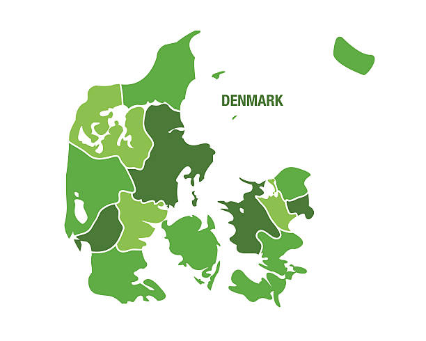
Map of Denmark - Vector illustration
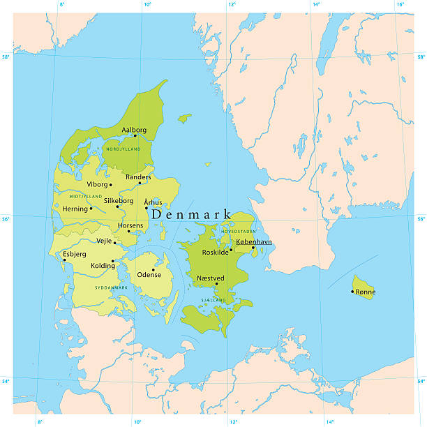
"Detailed vector map of Denmark with administrative divisions. File was created on November 13, 2012. The colors in the .eps-file are ready for print (CMYK). Included files: EPS (v8) and Hi-Res JPG (5600aa aaa 4545 px)."
Highly detailed vector map of Denmark. File was created on July 29, 2011. The colors in the .eps-file are ready for print (CMYK). Included files: EPS (v8) and Hi-Res JPG.
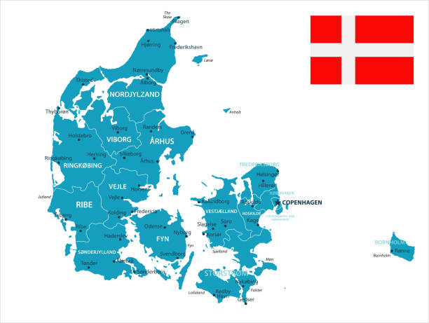
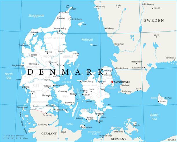
Map of Denmark - Vector illustration
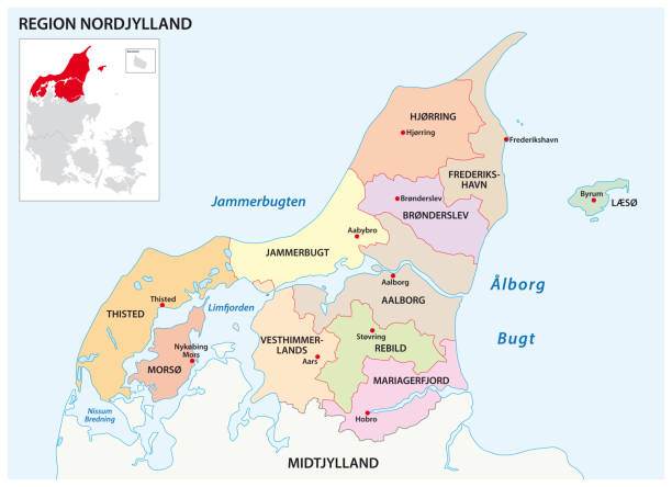

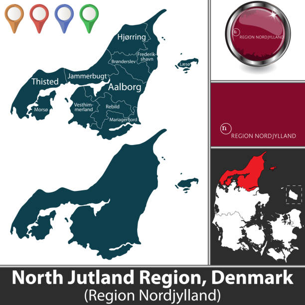
North Jutland Region with municipalities and location on Danish map. Vector image. There is inscription in original Danish language - Region Nordjylland
http://farm8.staticflickr.com/7189/6818724910_54c206caf8.jpg
Map of Denmark - Vintage Vector illustration

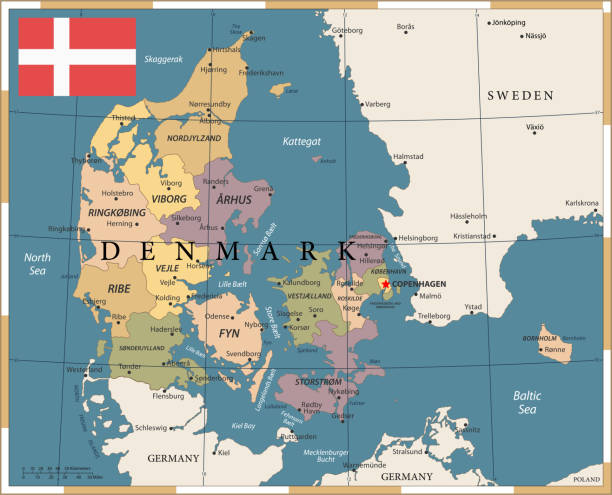
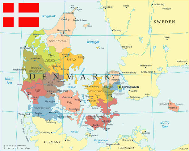
Vector map of Denmark with regions

Vector Denmark Travel Maps https://maps.lib.utexas.edu/maps/europe/denmark_pol99.jpg

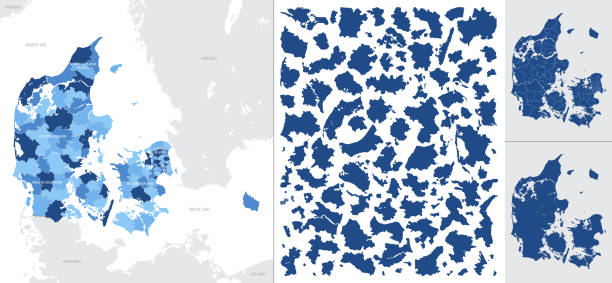
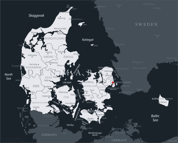
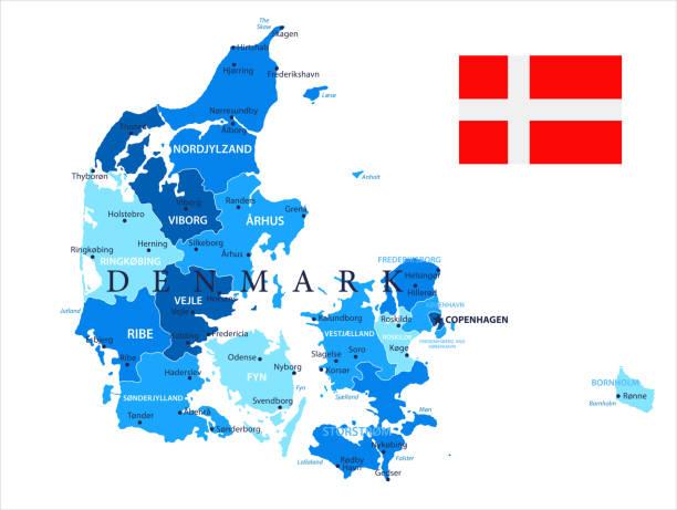
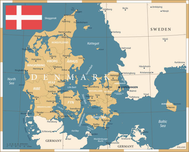
Denmark - detailed blue country map with cities and regions. Vector illustration.

Denmark contour vector map with flag and state in color. Background map eps 10
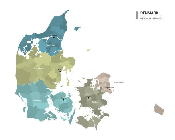
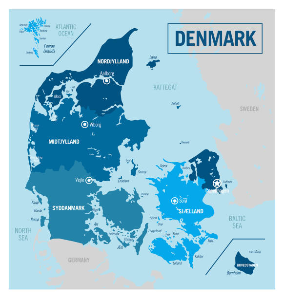
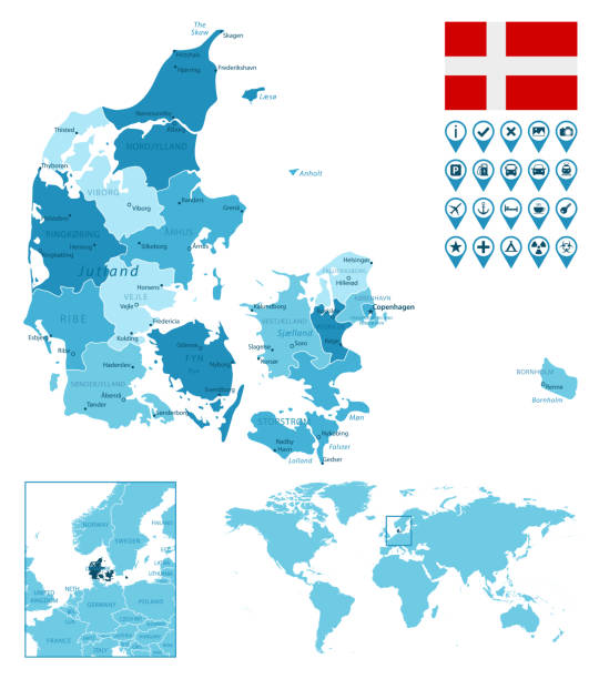
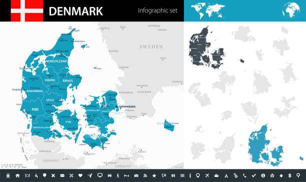
Denmark - detailed country map with cities and regions. Infographic icons. Vector illustration
Map of Denmark - Vector illustration

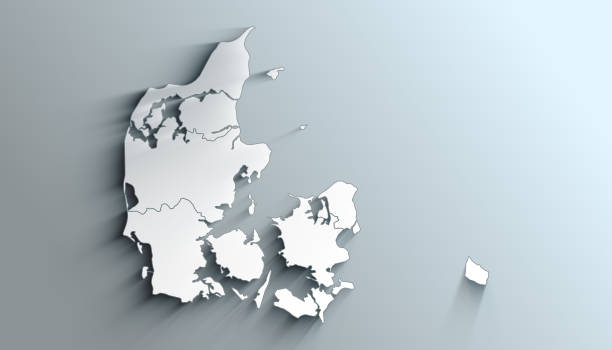
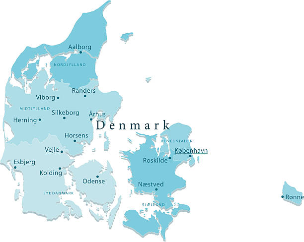
Geographical Map of Denmark with Regions with Regions with Shadows

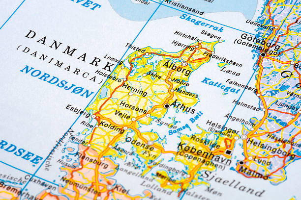
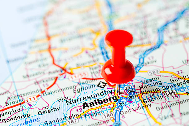
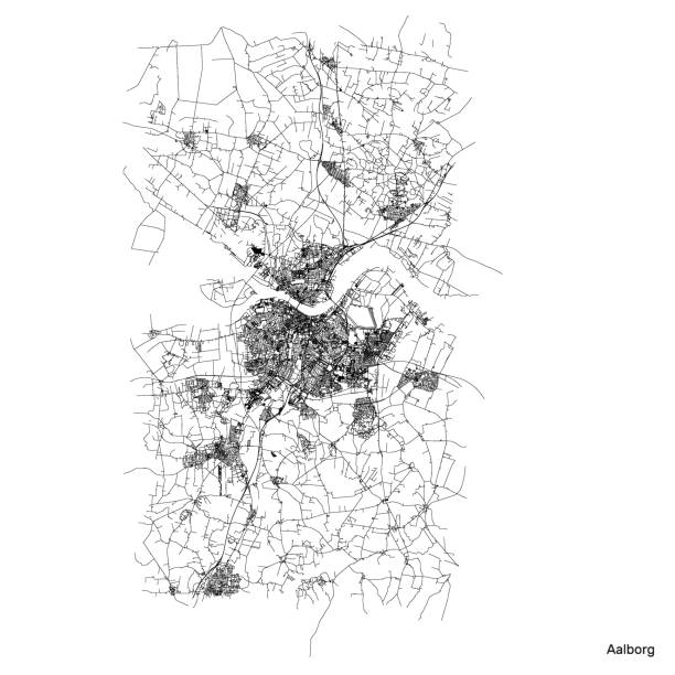
Map of Aalborg, Denmark. Detail from the World Atlas.


Map of Denmark - Infographic Vector illustration
Map link URL: https://legacy.lib.utexas.edu/maps/world_maps/united_states_foreign_service_posts-september_2011.pdf. Some urban locations were taken from: https://legacy.lib.utexas.edu/maps/world_maps/txu-oclc-264266980-world_pol_2008-2.jpg. The image was created in Adobe Illustrator in eps10 format

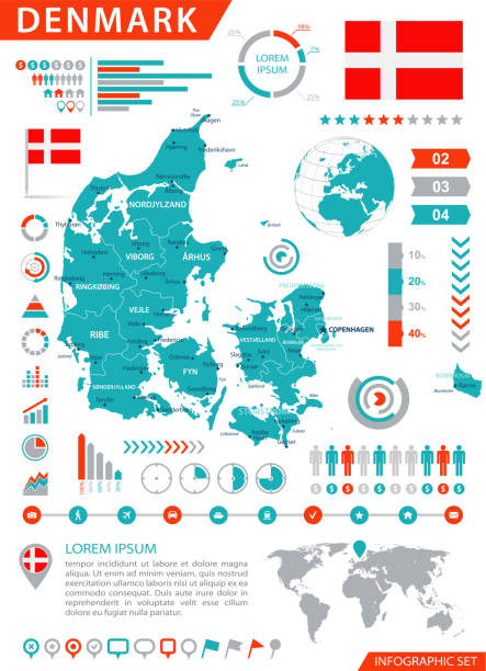
Map of Denmark - Infographic Vector illustration
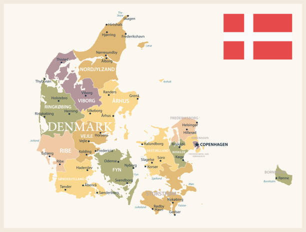
Map of Denmark - Vintage Vector illustration

Map of Denmark - Vintage Vector illustration

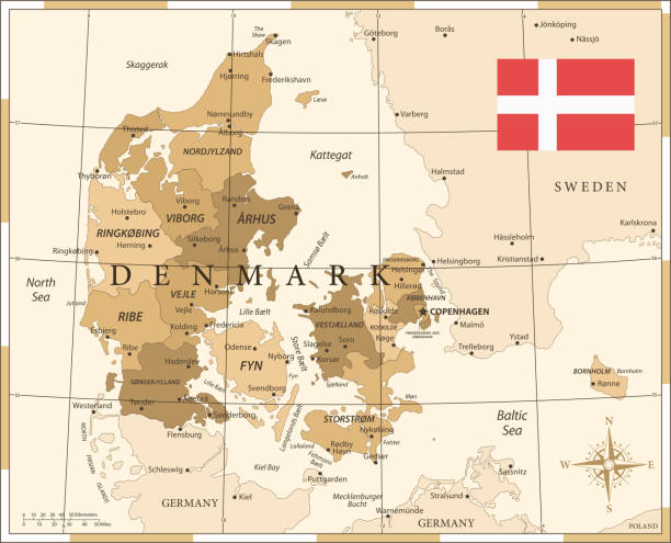
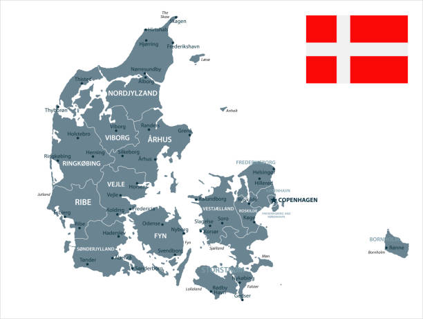
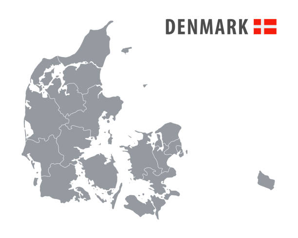
Detailed map of Denmark administrative divisions with country flag and location on the globe. Vector illustration
Denmark - detailed map with country regions. Vector illustration

Map of Denmark - Infographic Vector illustration

Denmark, Odense city isolated skyline vector illustration, travel landmark
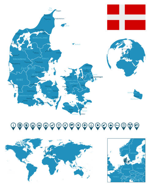
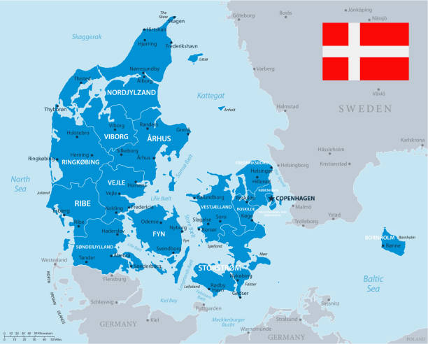
Denmark - detailed blue country map with cities, regions, location on world map and globe. Infographic icons. Vector illustration

Vector Denmark Maps https://maps.lib.utexas.edu/maps/europe/denmark_pol99.jpg

Two Denmark maps background with regions, region names and cities in color, flag. Denmark map isolated on white background. Vector illustration map europe eps 10

Map of Denmark - Infographic Vector illustration
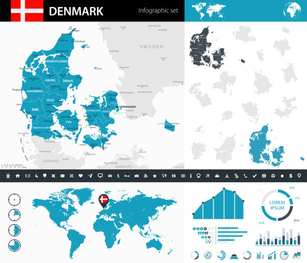
Map of Denmark - Infographic Vector illustration
Map of Denmark - Vintage Vector illustration
Map of Denmark - Vintage Vector illustration

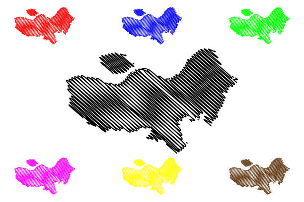

Denmark - Blue Sketch Map. Stylized Simple Outline Map, Icon. Vector Illustration.

Vector Denmark Travel Maps https://maps.lib.utexas.edu/maps/europe/denmark_pol99.jpg

Denmark contour vector map with state, black-white, flag in color. Background map eps 10
Map of Denmark - Vector illustration
Map of Denmark - Vector illustration
Next