Images
Mississippi River Map Photos Images and Stock Photos
Browse 50+ mississippi river map photos stock photos and images available, or start a new search to explore more stock photos and images.


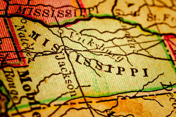
Mississippi on a 1880's map. Mississippi is a state located in the Southern United States. Selective focus and Canon EOS 5D Mark II with MP-E 65mm macro lens.
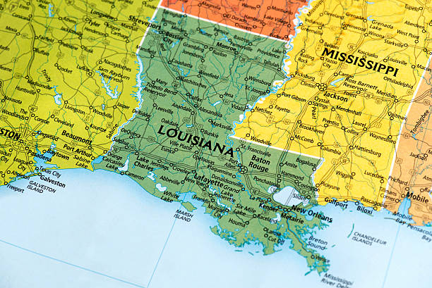
Map of Louisiana State in USA. Detail from the World Map.
Our creative library is free of AI-generated contentChoose your visuals with confidence knowing our creative library is free from AI-generated content, so your searches only return safe, high-quality visuals you can trust.


US capital cities on map series: Jackson, Mississippi, MS.
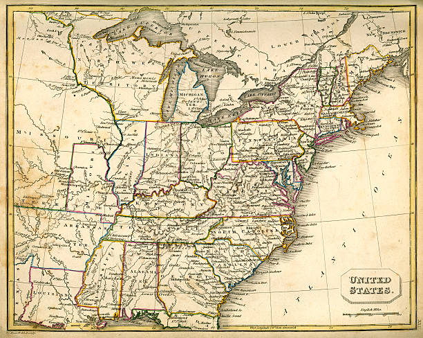
Vintage map of the United States of America from 1837


map/plan of the city of new orleans 1879layered with a couple of vintage stained piece of papers


Studying Geography - Photograph of Mississippi on retro globe.


Antique map 1916 government-copyright free. Rich paper texture and warm colors make this a nice background or decor print. Centered on Minneapolis & St. Paul it covers many of the vacation areas of both states. Printed when logging was king the towns depicted were no doubt important to the industry while today many have become sleepy little backwaters. Inlcuded is the area where many of the Laura Engles Wilder "Little House" books were written about. (The Little House on the Prairie was just west of Mankato.)

Map of United States. Detail from the World Atlas (Webster's Concise.)

Biloxi, Mississippi on 1880's map. Selective focus and Canon EOS 5D Mark II with MP-E 65mm macro lens.

MIssissippi and Missouri Rivers on vintage 1920s map (printed in 1926 - copyrights expired) with a red pushpin on St Louis, selective focus


I shot the original old map created in 1775. I own the map.


A close-up/macro photograph of Iowa from a desktop globe. Adobe RGB color profile.


The Mississippi map turtle (Graptemys pseudogeographica kohni) warm up in the sun on a tree trunk protruding from water. Reptile in the family Emydidae, animal endemic to the central United States.

I shot the original old map created in 1775. I own the map.

Color image of an old map of the North Central (United) States, sitting at an angle on antique wood trunk.

Map of the Southeast USA written with misspellings. It comes from a Spanish school. Published 1969.

vintage map of the southern states of America.

"Antique map of the state of Mississippi, USA. Published in 1884, Rand McNally and Co, Chicago. CLICK ON THE LINKS BELOW FOR HUNDREDS OF SIMILAR IMAGES:"

I shot the original old map created in 1775. I own the map.


Batesville, Mississippi on 1880's map. Selective focus and Canon EOS 5D Mark II with MP-E 65mm macro lens.


I shot the original old map created in 1775. I own the map.

Flathead Lake on a 1880's map. The Flathead Lake is the largest natural freshwater lake west of the Mississippi River. Selective focus and Canon EOS 5D Mark II with MP-E 65mm macro lens.

1966 postage stamp honoring the Mississippi River as the "Great River Road".

Close up on an antique map of the county of Benton, state of Mississippi. Published in 1884; Rand McNally and Co; Chicago. Selective focus and Canon EOS 5D Mark II with MP-E 65mm macro lens.

Vicksburg Mississippi - USA, May 1, 2025. Southern charm of Vicksburg downtown shown along Levee and Washington streets in the evening. An Important riverside hub along the lower Mississippi river where the Yazoo river joins.

I shot the original old map created in 1775. I own the map.

Airplane wing flying over the Mississippi River

I shot the original old map created in 1775. I own the map.

Map of Jackson, Mississippi State in US. Detail from the World Map.

I shot the original old map created in 1775. I own the map.

An educational photo showing us the underside of this species. This example is of a juvenile female mississippi map. The patterns are really querky.

Vicksburg Mississippi - USA, May 1, 2025. A strategic port along the lower Mississippi river where the Yazoo river merge. The city is located on a high bluff above the river and was the location for the Vicksburg siege during the Civil War, a turning point for the war.

A rare United States postage stamp issued in 1904 commemorating the Louisiana Purchase Exposition in St. Louis, MO.

This beautiful image shows a captive raised mississippi map turtle enjoying some sunlight in the garden. This is an excellent educational photo which shows the unique patterns and colours this species can have.

An ouachita map turtle, Graptemys ouachitensis, rest on a fallen log in an island backwater of the Mississippi River near Trempealeau, Wisconsin


I shot the original old map created in 1775. I own the map.

Vintage map of St. Louis, Missouri, USA - See lightbox for more

A captive bred mississippi map turtle. A Great close up image!

This picture of a mississippi map turtle in captivity is a great image. A must have photo!

A mississippi map turtle in a aquarium. A great close up image!