
Monrovia, the capital city of Liberia, West Africa, seen from the top of the ruins of Hotel Ducor. The main streets of the peninsula are clearly visible.
Browse 1,200+ montserrado county stock photos and images available, or start a new search to explore more stock photos and images.
Monrovia, the capital city of Liberia, West Africa, seen from the top of the ruins of Hotel Ducor. The main streets of the peninsula are clearly visible.

A Liberian nurse washing his hands after treating a patient sick with Ebola in Monrovia, the capital of Liberia.

Liberia Political Map with capital Monrovia, national borders, important cities, rivers and lakes. English labeling and scaling. Illustration.

Photo of pinned Monrovia on a map of Africa. May be used as illustration for traveling theme.

The West Point slum is home to about 75,000 in the capital of Monrovia, Liberia.
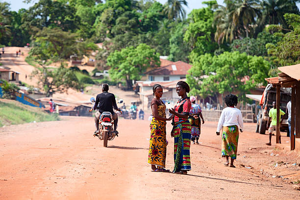
Gbarnga, Liberia - November 21, 2013: Gbarnga, Liberia - November 21, 2013: Main street in Gbarnga, Liberia. People are busy with daily activities. Two women, dressed in traditional African dress, are talking.

Beach with red sand and black rocks with a blue sky in Congo Town, Monrovia, Liberia

Vector flag of Liberia. Proportion 10:19. Liberian national flag. Republic of Liberia. Vector EPS 10

Monrovia, Liberia: brutalist architecture of the Cathedral Church of the Holy Trinity - triangles of concrete an glass - seat of the Anglican Bishop of Liberia - Episcopal Church of Liberia - Episcopal Diocese of Liberia, Anglican Province of West Africa - Broad Street, Snapper Hill.

Monrovia, Liberia: urban skyline and the Mesurado River - Monrovia's central business district, buildings along Water Street and on the skyline government buildings on Broad Street - Providence Island on the left.

Monrovia, Liberia: looking west along the meanders of the Mesurado River at sunset - seen from the air.

A close-up/macro photograph of African countries from a desktop globe. Adobe RGB color profile.

Saharian and sub-Saharian Nations close up in an small world globe

Monrovia, the capital of Liberia as seen from the top of an abandoned hotel.
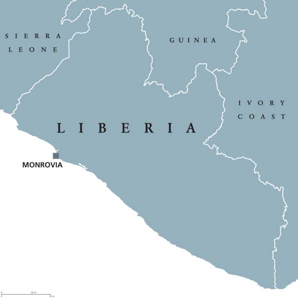
Liberia political map with capital Monrovia and international borders. Republic and country on the West African coast. Gray illustration isolated on white background. English labeling. Vector.

A drone shot of Monrovia in Liberia, Africa under the bright sunlight

Termite nest within a well-kept residential compound in Monrovia. Liberia, West Africa. The colony of pests

"Map and flag of Liberia. Source: ""World reference atlas"""

Gbarnga, Liberia - November 21, 2013: Main street and urban marketplace in Gbarnga in Liberia. People are busy with daily activities: meetings, talks, trade and transportation.

Monrovia, Montserrado county, Liberia: Providence Island, located in the estuary of the Mesurado river on Stockton creek, formerly known as Dozoa island - of historic importance as one of the first places freed slaves from the US, sent by the American Colonisation Society (ACS), landed on January 1, 1822, eventually becoming the black colonial masters of Liberia. Discernible vestiges of the settlement include a well, remains of a jetty landing, and a cotton tree said to be 200 years old. Since the fifteenth century Providence Island was a major trade post for the Portuguese, dealing with the local tribes. UNESCO world heritage tentative list.

Monrovia, Liberia: aerial view of the Liberian capital, the Atlantic Ocean, the harbor and the Mesurado River estuary - downtown Monrovia and to the north West Point, Vai Town and Clara Town.

Vigna caracalla known as the snail or corkscrew vine. Instricate whitish colored corkscrew or snail shaped buds unfurl and deepen to a beautiful pinkish purple.

National coat of arms of the Republic of Liberia.

Photograph capturing the sandy shoreline of Liberia
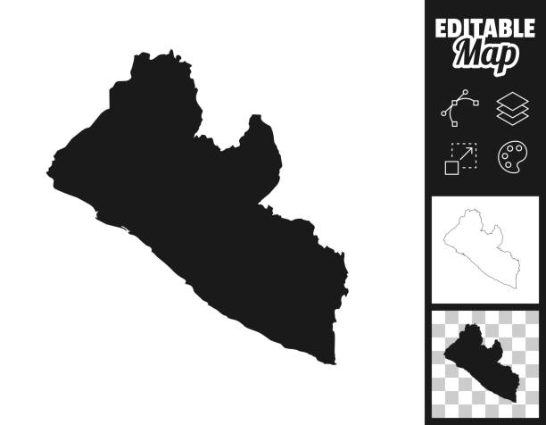
Map of Liberia for your own design. Three maps with editable stroke included in the bundle: - One black map on a white background. - One line map with only a thin black outline in a line art style (you can adjust the stroke weight as you want). - One map on a blank transparent background (for change background or texture). The layers are named to facilitate your customization. Vector Illustration (EPS file, well layered and grouped). Easy to edit, manipulate, resize or colorize. Vector and Jpeg file of different sizes.

Decline in the industry of Liberia. Abandoned old mine. Ruin as a consequence of the civil war and the Ebola epidemic

Monrovia, Liberia: slum by the Mesurado River - pollution and garbage filled river - health and environmental issues.

Aerial drone view of central Monrovia and the West Point community showing the bustling cityscape along the Atlantic coast

A red dirt road through the Liberian rain forest.
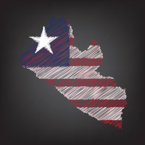
Scribble map of Liberia. Sketch Country map colors for infographic, brochures and presentations. Vector illustration eps 10

Two passports on the map of Liberia, are ready for travel. The map is toned in pastel colors. Concept: Planning travel destinations or journey planning. Close-up view. Studio shot. Landscape orientation.
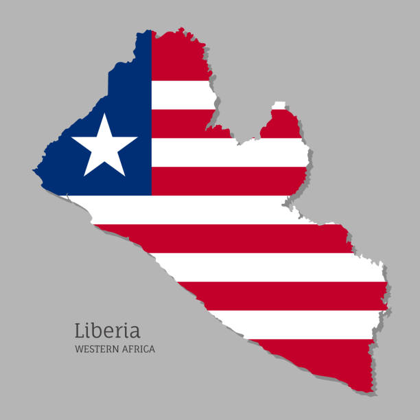
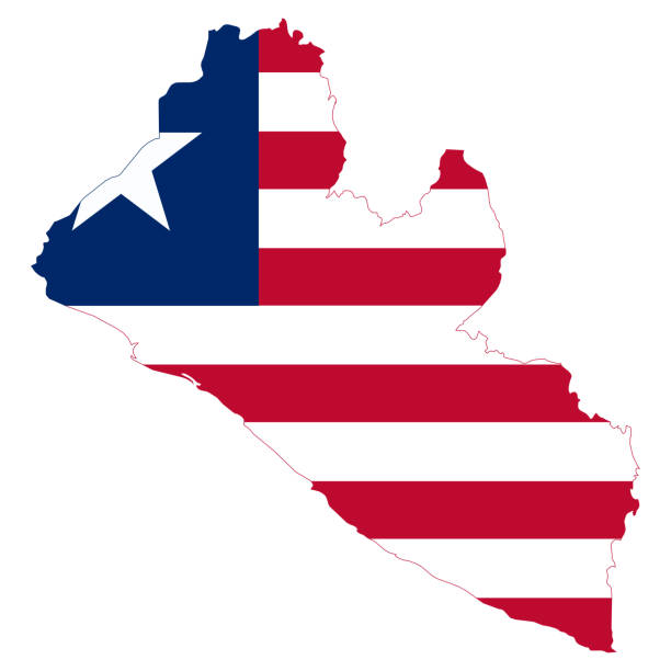
Map of Liberia with national flag. Highly detailed map of Western Africa country with territory borders. Political or geographical design vector illustration on gray background

Stamp features traditional Liberian tribal mask

Monrovia, Liberia - August 31, 2015: mining industry in Africa, Liberia. Parking of the mining equipment. Brand new yellow excavators and road transport on the background of palm trees and rainy sky

Monrovia, Liberia: urban skyline and the Mesurado River - Monrovia's central business district - United Methodist University (UMU) in the center, Providence Island in the foreground.

Liberia - detailed map of the country in brown colors, divided into regions. Vector illustration

The waving flag of Liberia . High quality 3D illustration. Perfect for news, reportage, events.

Basseterre, Saint Kitts island, Saint Kitts and Nevis: RHL Flensburg moored in Basseterre bay - Chemical / Oil Products Tanker, sailing under the flag of Liberia

Monrovia, Liberia: downtown beach, south side of United Nations Drive - late afternoon - Atlantic Ocean and palm tree leaves - Center South Beach.

Gbarnga, Liberia - November 21, 2013: Two people driving the motorbike on the jungle road from Monrovia to Gbarnga.
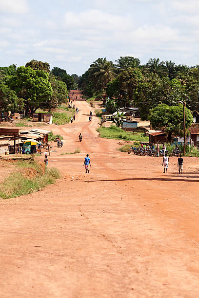
Gbarnga, Liberia - November 21, 2013: Main street of Gbarnga in Liberia. People are busy with daily activities.

Monrovia, Liberia - August 03, 2015: mining industry in Africa, Liberia. Transportation of mining equipment through the jungle. Yellow excavator on a dirt road in the jungle

An African boy looking into the camera.

Monrovia, Liberia: Mesurado River and Monrovia's waterside market - waterside shacks, Randall Street and government buildings on Broad Street.

Monrovia, Liberia: Mesurado River waterfront and Ducor hill, the highest point of the city, with abandoned Ducor Palace Hotel, designed and built by Israeli industrialist Moshe Mayer.

Wavy flag of Liberia, isolated on transparent background. Flag of the Republic of Liberia. Vector illustration.
Liberia map flag. Vector design isolated on white background. Vector illustration eps10

Map of Liberia created with a mesh of thin bright blue lines and glowing dots, isolated on a dark blue background. Conceptual illustration of networks (communication, social, internet, ...). Vector Illustration (EPS10, well layered and grouped). Easy to edit, manipulate, resize or colorize.

Monrovia, Liberia: Georgia Patten Memorial United Methodist Church and school, Waterside, United Nations Drive - Johansen Drive.

Coronavirus pandemic reported on the map of Liberia. Spread of COVID-19 represented with red circles on a black background, like a radar screen. Conceptual image: coronavirus detected, quarantined area, spread of the disease, coronavirus outbreak on the territory, virus alert, danger zone, confined space, closing of borders, area under control, stop coronavirus, defeat the virus. Vector Illustration (EPS10, well layered and grouped). Easy to edit, manipulate, resize or colorize.


