
Images
New York Map Close Up Pictures, Images and Stock Photos
Browse 700+ new york map close up stock photos and images available, or start a new search to explore more stock photos and images.
Most popular
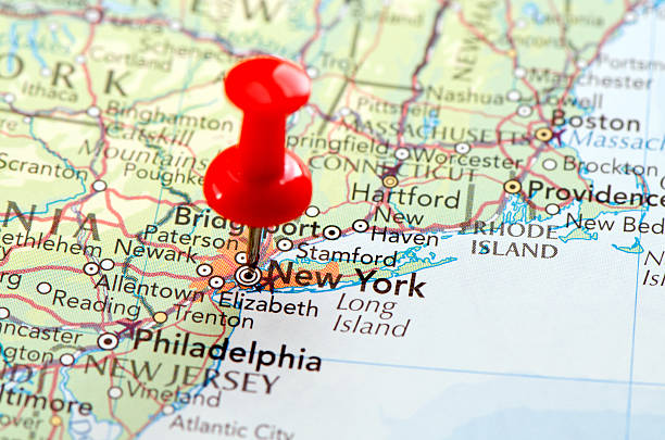
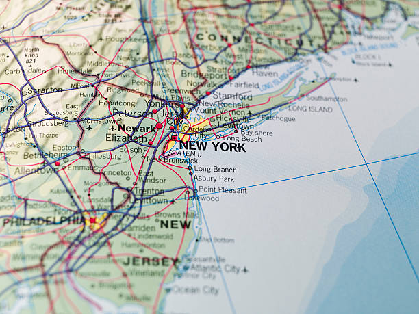
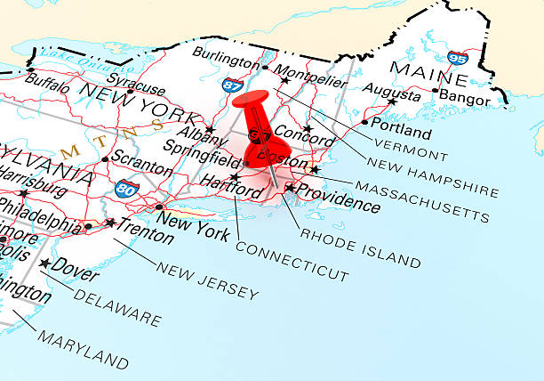
Map of New York, New Jersey, Massachusetts with Connecticut States in USA. Detail from the World Map.
Focus on New York on the Map. Source: "World reference atlas"
Map of New York, USA. Detail from the World Map.
Our creative library is free of AI-generated contentChoose your visuals with confidence knowing our creative library is free from AI-generated content, so your searches only return safe, high-quality visuals you can trust.

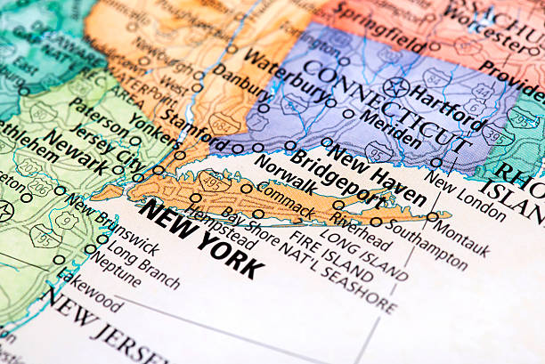
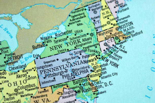
Map of New York, New Jersey, Providence, Connecticut, and Massachusetts States in USA. Detail from the World Map.

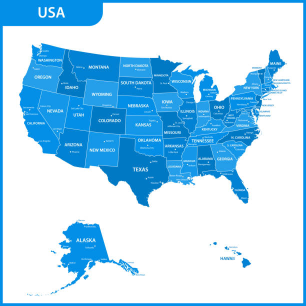
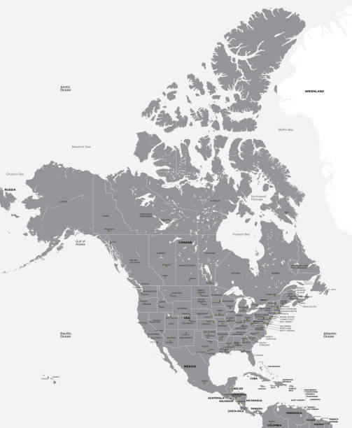
Map of United States. Detail from the World Atlas (Webster's Concise.)

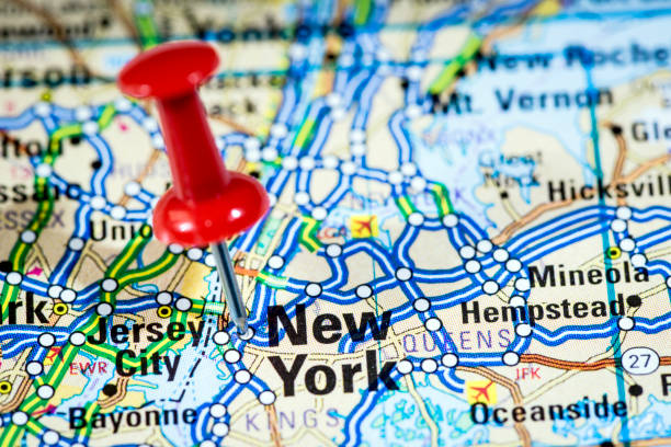
Pushpin pointing Albany city, New York state capital, over more than fifty years old map
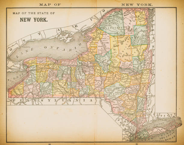
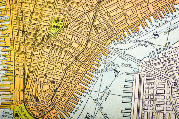
19th century map of New York. Published in New Dollar Atlas of the United States and Dominion of Canada. (Rand McNally & Co's, Chicago, 1884).
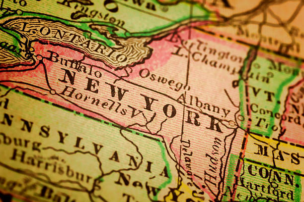
New York State on a 1880's map. New York is a state in the Northeastern and Mid-Atlantic regions of the United States. Selective focus and Canon EOS 5D Mark II with MP-E 65mm macro lens.
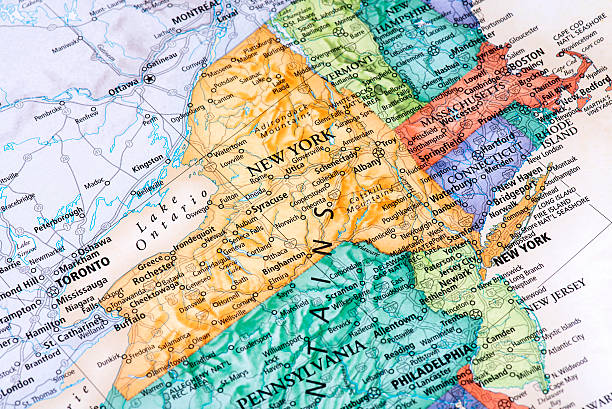
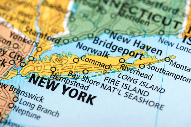
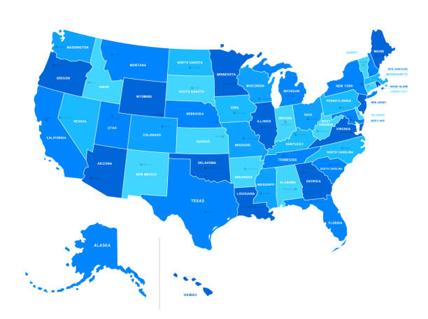
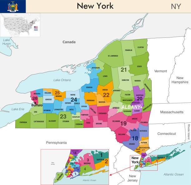
Map of New York State in USA. Detail from the World Map.
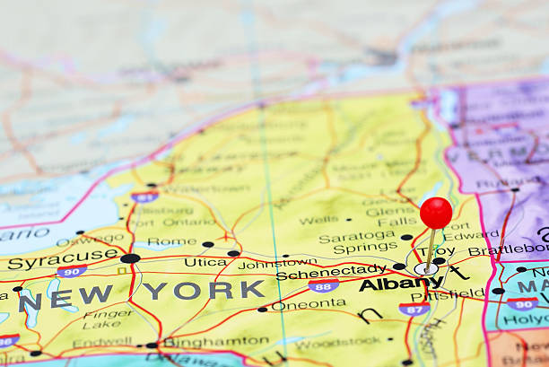
Photo of pinned Albany on a map of USA. May be used as illustration for travelling theme.


"An old map of the USA, scanned from a XIX century original. CLICK ON THE LINKS BELOW FOR HUNDREDS OF SIMILAR IMAGES:"

New York, state of USA - solid black outline map of country area. Simple flat vector illustration.
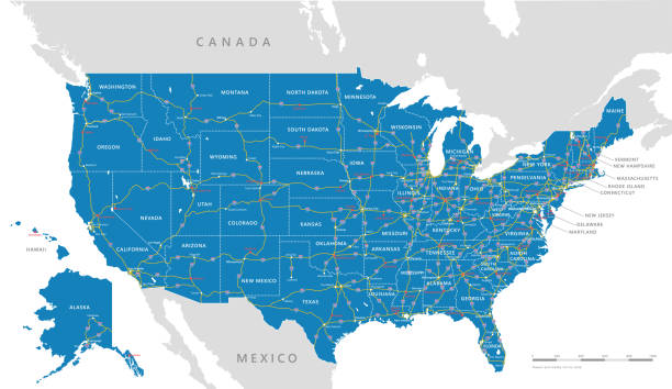


Photo of pinned Albany on a map of USA. May be used as illustration for traveling theme.


A close-up/macro photograph of New York from a desktop globe. Adobe RGB color profile.


A macro photograph of The United States of America from a desktop globe. Adobe RGB color profile.
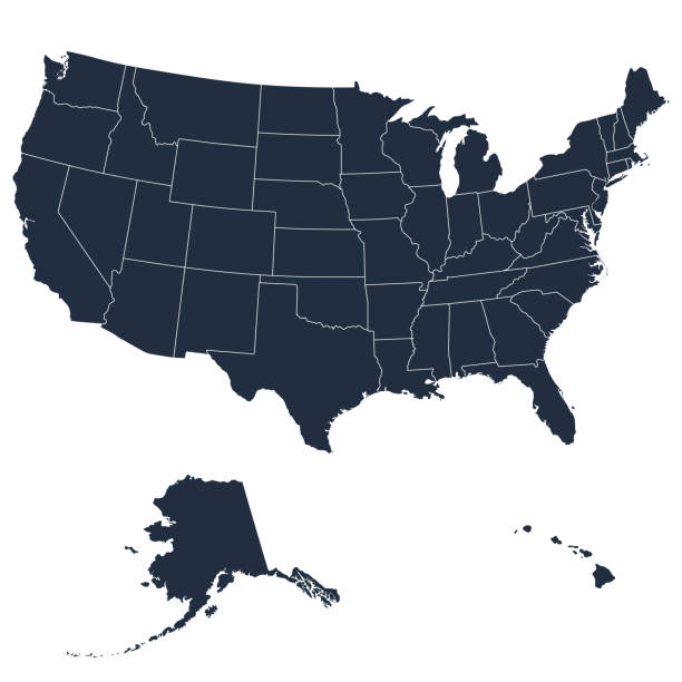
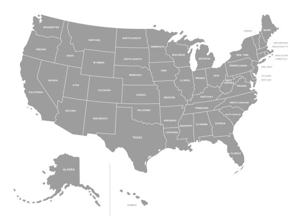
The detailed Vector Grey Map of the USA with states

Red Thumbtack Over Rhode Island State USA Map. 3D rendering

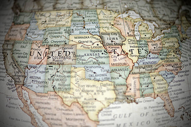
USA east coast with New York City on a vintage 1920s map, selective focus (printed in 1926 - copyrights expired)


All elements were drawn in a vector graphics editor and design program. Elements and layers are well organized, separable, detachable and easy to use and edit. Map data is in the public domain, available from the United States Census Bureau via census.gov

Digital global map of United States Map, America, US, Hologram Effect, black background
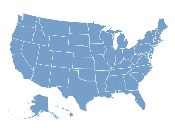
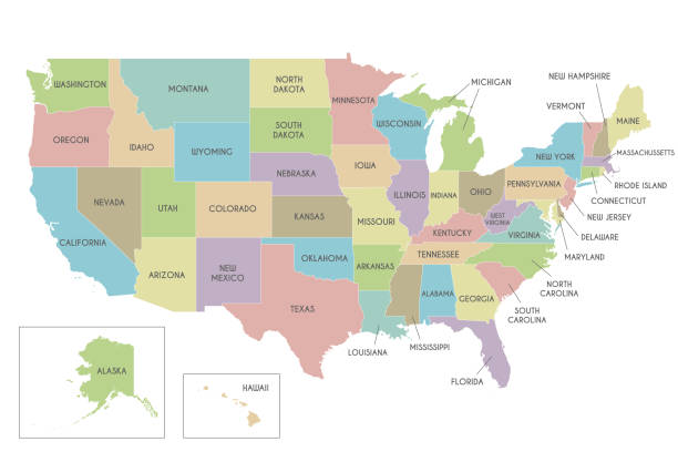
USA map isolated on white background including Hawaii and Alaska. Detailed map with divided states, with separate layers for each state. Vector illustration

Map of Toronto in Canada. Detail from the World Map.

http://farm8.staticflickr.com/7189/6818724910_54c206caf8.jpg
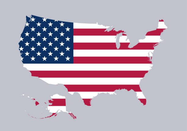
USA flag in map shape including Hawaii and Alaska. Detailed map. Vector illustration


Close-up of an unrecognizable woman using the Google Maps App on her Lenovo A916 Android smartphone in a car. Map of New York (USA) shown on screen.


Photo of pinned Syracuse on a map of USA. May be used as illustration for traveling theme.
A close up photo of the USA from a desktop Globe. Adobe RGB colour profile.

Macro of an old atlas map (about 100 years old) of New York. Paper yellowing and slightly stained.

Map of Lake Erie in North USA. Detail from the World Map.

Spain map on grey administration map


19th century map of Rhode island and Connecticut. Published in New Dollar Atlas of the United States and Dominion of Canada. (Rand McNally & Co's, Chicago, 1884).
Destination USA. Please check out my maps lightbox for more similar images. http://i70.photobucket.com/albums/i102/mzelkovi/maps-1.jpg
of12Next