Images
Planet Earth Africa Pictures, Images and Stock Photos
Browse 53,400+ planet earth africa stock photos and images available, or search for mother earth to find more great stock photos and pictures.
Most popular
Planet Earth viewed from space with city lights. Technology, global communication, world connections. Satellite view. Elements from NASA. (https://visibleearth.nasa.gov/view.php?id=57752)

This is custom made earth with custom map containing custom clouds map.
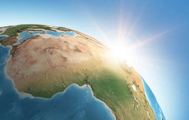
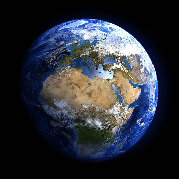
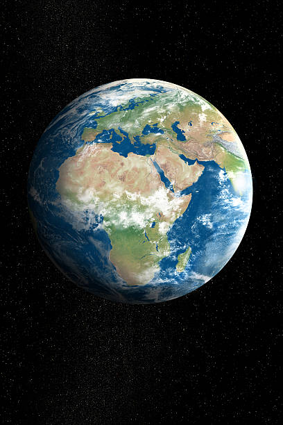
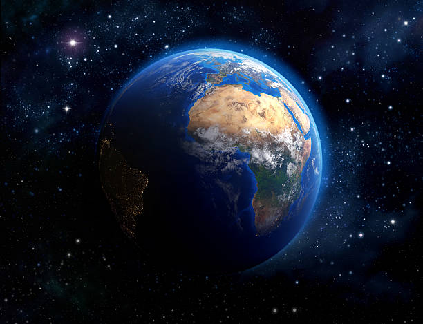
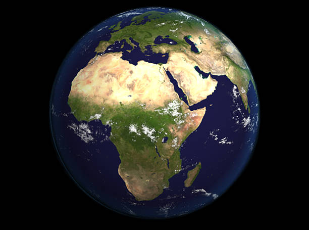
Sun shining over a high detailed view of Planet Earth, focused on Africa. 3D illustration (Blender software), elements of this image furnished by NASA (https://eoimages.gsfc.nasa.gov/images/imagerecords/73000/73776/world.topo.bathy.200408.3x5400x2700.jpg)
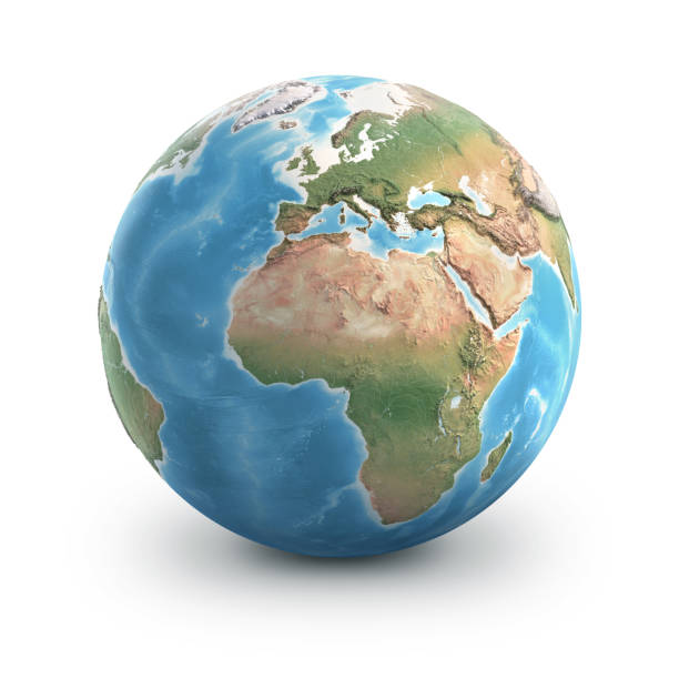
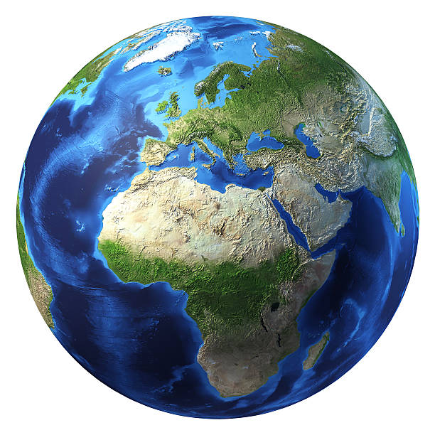
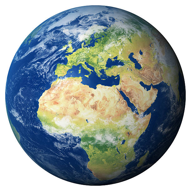
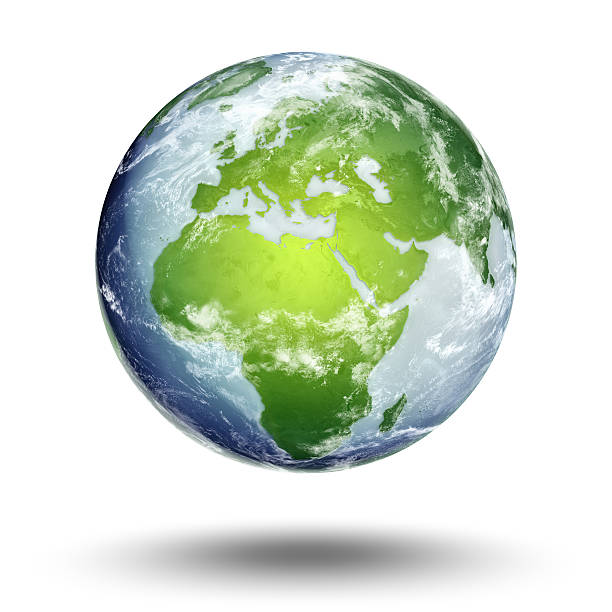
Planet Earth globe, isolated on white. Geography of the world from space, focused on Europe and Africa - 3D illustration (Blender software), elements of this image furnished by NASA (https://eoimages.gsfc.nasa.gov/images/imagerecords/73000/73776/world.topo.bathy.200408.3x5400x2700.jpg)

Extremely detailed image, including elements furnished by NASA. Other orientations available.

Starfield and Earth from: shadedrelief.com
"High quality surface map, natural colors, clouds cover.Clouds map comes from earthobservatory/nasa.The software to createA!Photoshop CS5"
Earth illustration. Each country has its own autonomous border and background color fill, which gives the opportunity to select the desired part from the rest of the content. Objects are isolated.
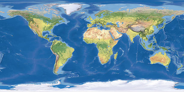
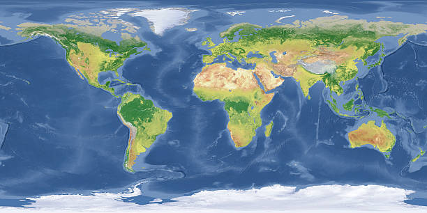
Digital world map Terrain。The software to create:Photoshop CS5
"High resolution 3D render of Planet Earth. Transparent water, shaded relief, natural colors, clouds cover.Clouds map comes from earthobservatory/nasa.You may also like my other Earth images:"
- starfield and Earth from: shadedrelief.comLicencing: shadedrelief.com/natural2/pages/use.html


Pan Europe Geometric Network World Map Globe Polygon Graphic Background.
Africa, elements of this image furnished by NASA
3D render of our home planet with star field background. Plenty of copy space.
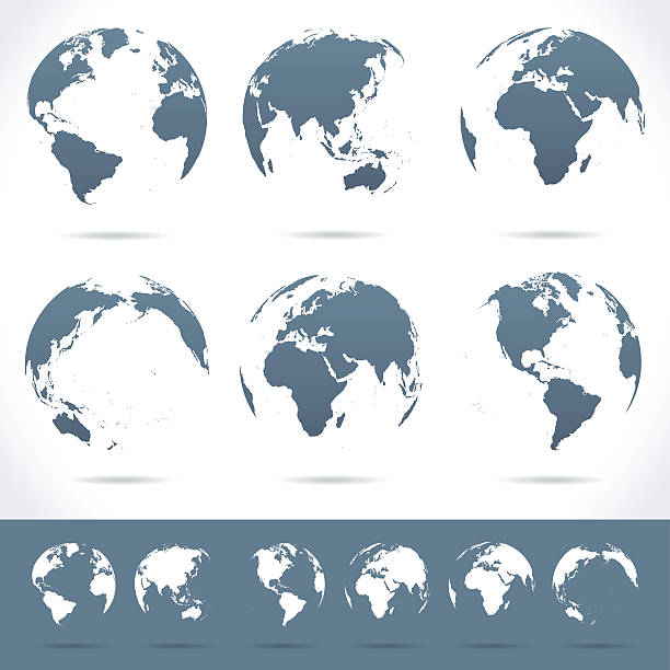
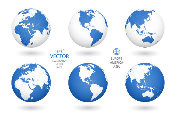
Vector set of different globe views.
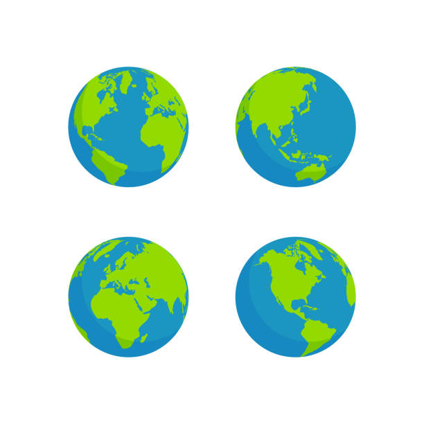
globe set isolated white background, flat style design

Pan Europe Geometric Network World Map Globe Polygon Graphic Background.

3D illustration - Planet Earth shaped like a crystal ball in a green forest.
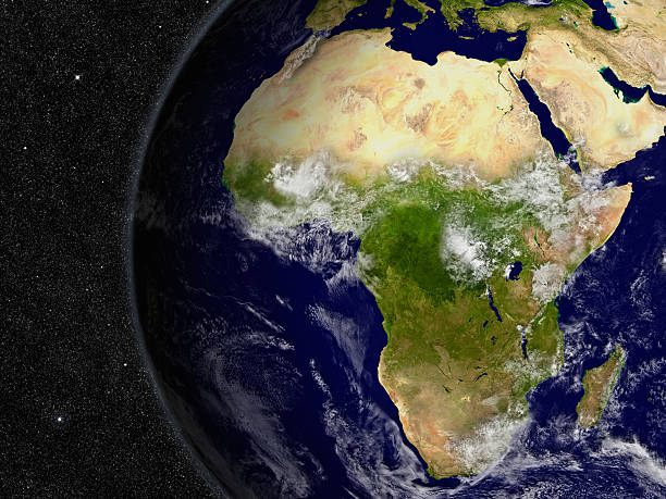
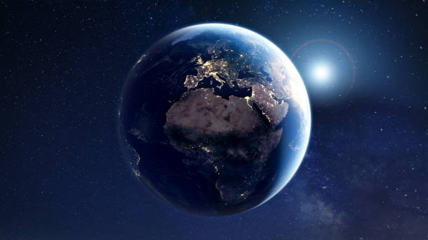
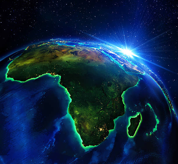
Africa region on planet Earth from space with stars in the background. Elements of this image furnished by NASA.

A 3D render made with "Blender" on 1st May, 2013, using publicly available textures from NASA:

a transparent globe showing the map of Africa is held in silhouetted hands and raised against a bright sunset and beach horizon. A perfect concept about global environmental issues such as global warming and eco friendly and renewable energy themes
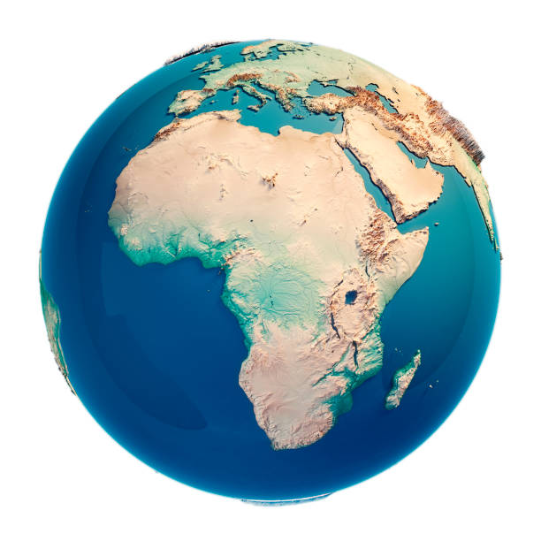
Africa 3D Render of the Planet Earth. Made with Natural Earth. URL of source data: http://www.naturalearthdata.com
Set of nine simple Earth globe icons. Vector file is layered.
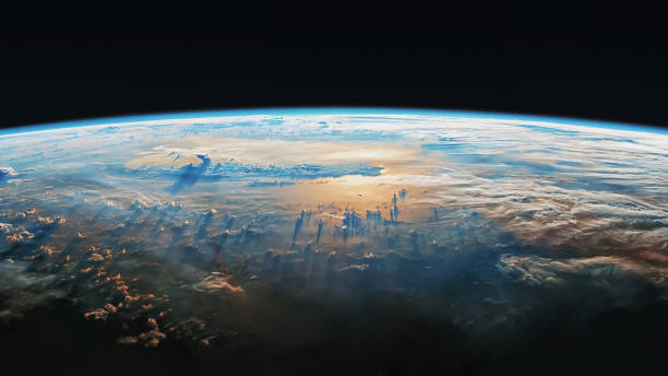
Imaginary view of planet earth in outer space. Elements of this image furnished by NASA

Planet Earth With Moving Connection Lines. Based on imagery from NASA. https://visibleearth.nasa.gov/view.php?id=57752

Space view of Earth at night with blue light rays. (Middle East)

Global network with binary earth map
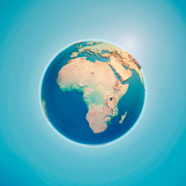
Africa 3D Render of the Planet Earth. Made with Natural Earth. URL of source data: http://www.naturalearthdata.com

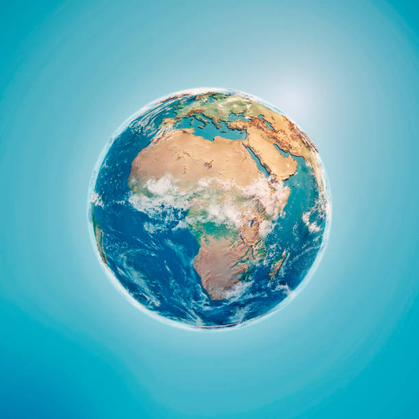
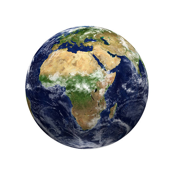
Africa 3D Render of the Planet Earth with Clouds. Made with Natural Earth. URL of source data: http://www.naturalearthdata.com Relief texture GMTED2010 data courtesy of USGS. URL of source image: https://topotools.cr.usgs.gov/GMTED_viewer/gmted2010_global_grids.php Cloud data courtesy of NASA. URL of source image: https://visibleearth.nasa.gov/view.php?id=57747 The source data is in the public domain.
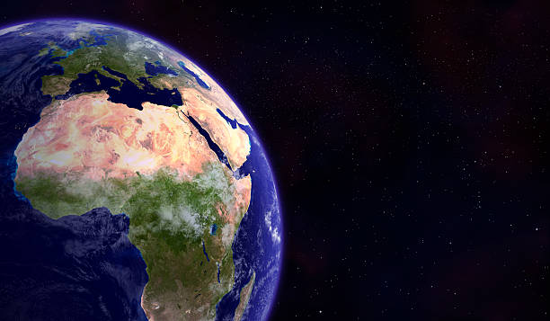
The Earth from space showing Europe and Africa render illustration. Other orientations available.
Vector Illustration of gray globe icons with different continents.

Glowing connection lines between international airports. 3D rendered image created with textures by NASA: https://visibleearth.nasa.gov/images/55167/earths-city-lights, https://visibleearth.nasa.gov/images/73934/topography

Earth (focus on Europe) represented by little dots, binary code and lines - big data, global business, cryptocurrency 3D render


World Globe 3D Signs Set Isolated on White Background. Earth Planet Icons Collection. International Business Design Element. Vector Illustration.
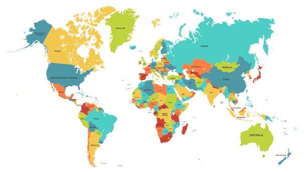
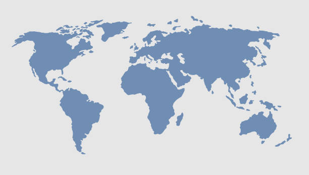
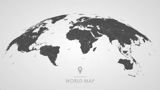
Colored world map. Political maps, colourful world countries and country names. Geography politics map, world land atlas or planet cartography vector illustration

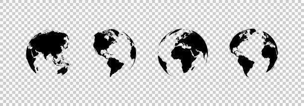
earth globe collection. set of black earth globes, isolated on transparent background. four world map icons in flat design. earth globe in modern simple style. world maps for web design. vector illustration
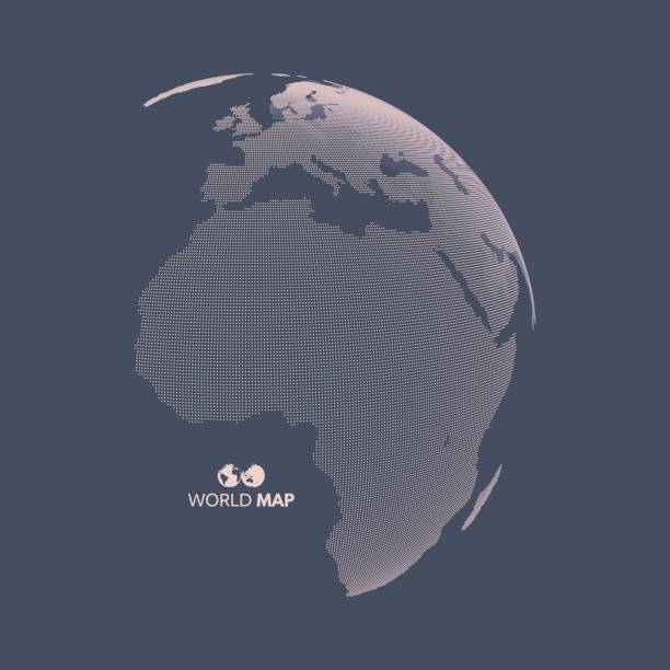
Africa and Europe. Earth globe. Global business marketing concept. Dotted style. Design for education, science, web presentations.
A blue and green 3D Rendering of Earth with Clipping Path


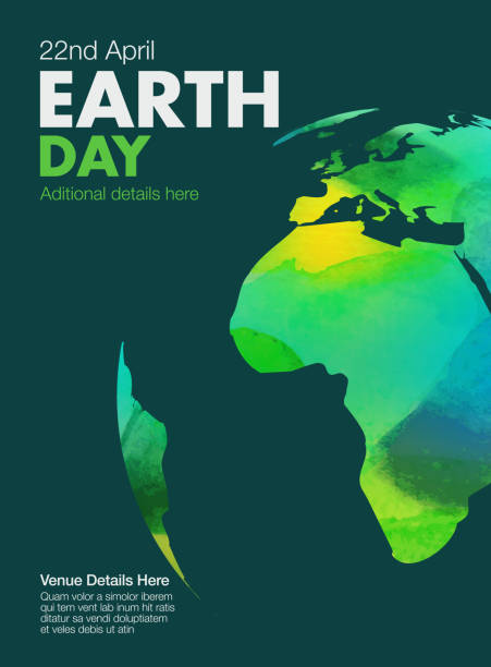
Water colour texture map on Earth day poster

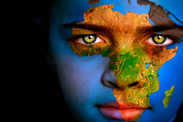
Portrait of a boy with the map of Africa painted on his face

Set of vector abstract dotted globes. Six globes, including a view of the Americas, Asia, Australia, Africa, Europe and the Atlantic
Continuous Earth line drawing symbol. World map one line art. Earth globe hand drawn insignia. Stock vector illustration isolated on white background

Next