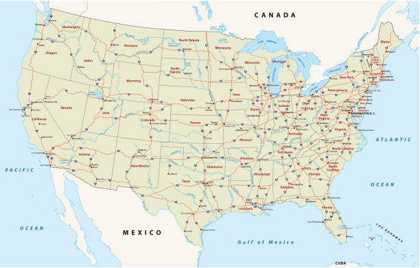
Road vector map of the united states of america
Browse 840+ political map of colorado stock photos and images available, or start a new search to explore more stock photos and images.
Road vector map of the united states of america

Highly-detailed Colorado county map. Each area is in a separate labeled layer. All layers have been alphabetized for easy manipulation, recoloring or other use. (see image below -- note: labels only available in AICS2 and AI10 files)
USA map with flag and navigation icons isolated on white.

Vector outline map of Colorado state divided into counties
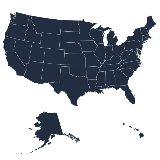
Vector illustration of the map of the United States of America. Cut out design element on a white background with editable strokes.

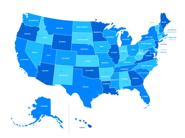
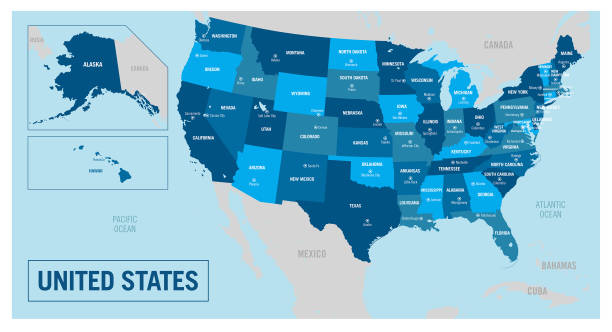
USA map land area vector with state names on blue background

The national symbol of the American state of Colorado, USA.

Texas, political map, with capital Austin, borders, important cities, rivers and lakes. State in the South Central region of the United States of America. English labeling. Illustration. Vector.

Denver, colorado neighborhood vector map
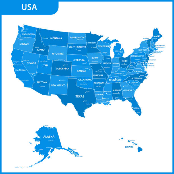
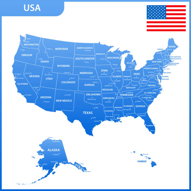
The detailed Vector Grey Map of the USA with states

USA map with borders and abbreviations for US states. Black color states with white inscriptions. Flat style vector illustration isolated on white background
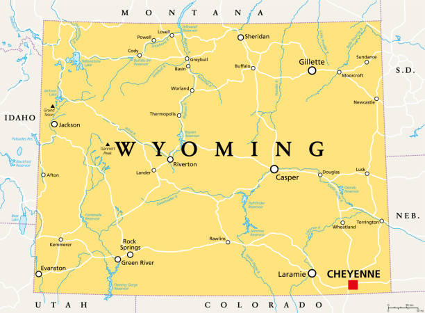
Wyoming, WY, political map, with the capital Cheyenne. State in the Mountain West subregion of the Western United States of America, nicknamed Equality State, Cowboy State and Big Wyoming. Vector.

vector of the Colorado map

Colorado US state administrative district map in colors. American federal state highly detailed map with territory borders and counties names labeled realistic vector illustration
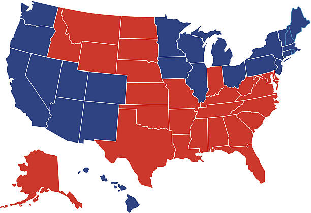
Vector illustration of a political USA map with the states colored in either red or blue with a white outline. Each state is an individual object and can be colored separately.

Highly-detailed Colorado county map. Each county is in it's own separate labeled layer. County names are in a separate layer and can be easily adjusted or removed as well. All layers have been alphabetized for easy manipulation, recoloring or other use.

USA state Of Colorado's map and Flag. Isometric view of Colorado. Flag of USA.

United States of America, multi colored political map. 50 states with own geographic territory, constituent entities, bound together in a union and a federal government. English. Illustration. Vector.

United States of America - Highly detailed editable political map with labeling. Organized vector illustration on seprated layers.

Colorado map. Vector illustration

Greetings from Colorado USA. Retro style postcard with patriotic stars and stripes lettering and United States map in the background. Vector illustration.

Highly detailed editable United States of America political map with separated layers. Organized vector illustration on seprated layers.

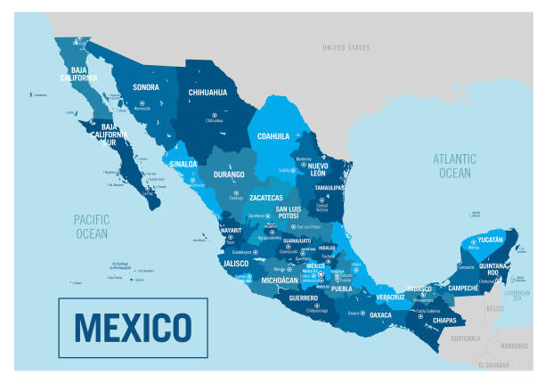
united states-mexico border vector map

United States of America - Highly detailed editable political map with labeling. Organized vector illustration on seprated layers.

Maryland a US state black element isolated on white background. United state of America. Map with county borders.

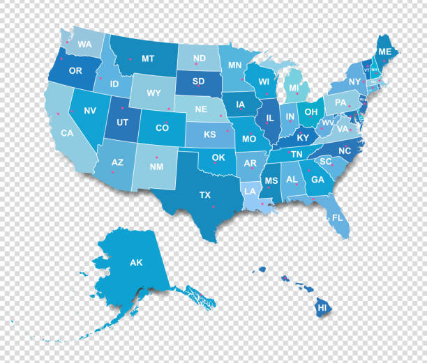
USA map. Detailed map with divided states, with separate layers for each state. Vector illustration

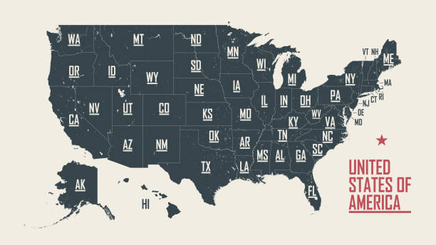
USA map land area vector with state names on black background

colorado road vector map with flag

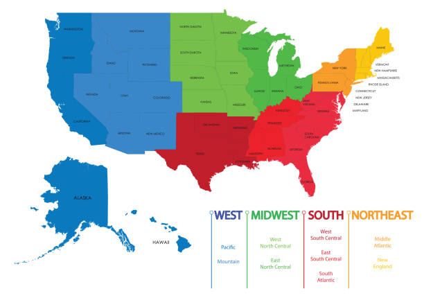
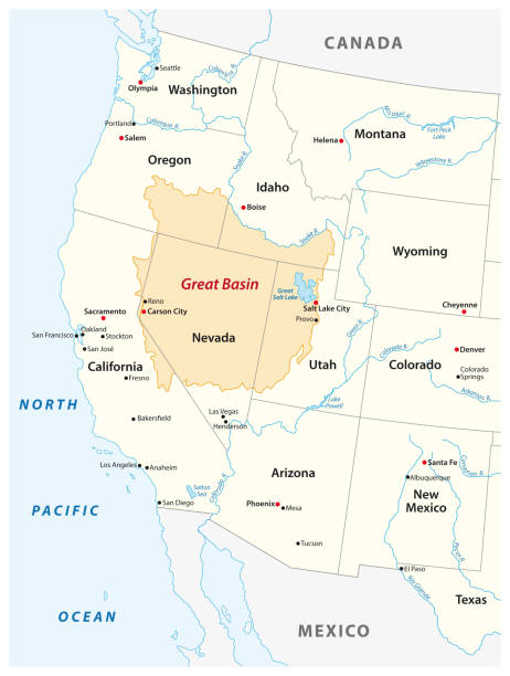
Mountain states, gray political map. United States Census division of the West region, consisting of the states Arizona, Colorado, Idaho, Montana, Nevada, New Mexico, Utah, and Wyoming. Illustration
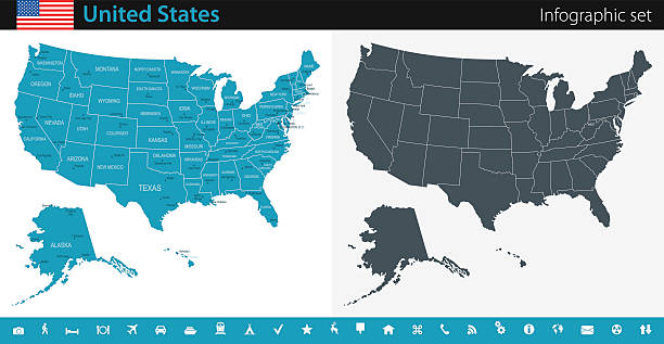
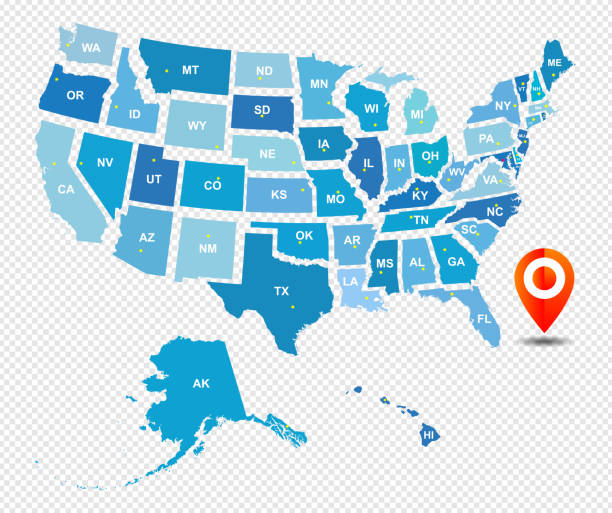
Vector maps of the United States with variable specification and icons

Arizona administrative and political vector map with flag

Highly detailed editable United States of America political map with separated layers. Organized vector illustration on seprated layers.

Isolated U.S.A State With Capital City. The map is on a transparent background (there is no white shape behind it)