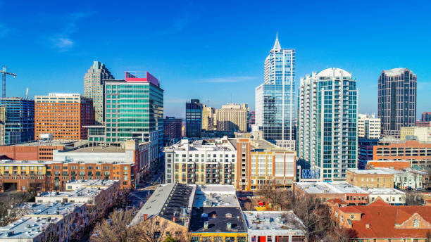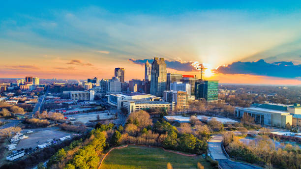
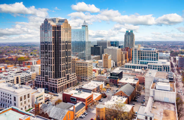
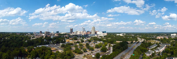
Downtown Raleigh, North Carolina, USA Drone Skyline Aerial.
Browse 620+ raleigh north carolina aerial stock photos and images available, or start a new search to explore more stock photos and images.
Downtown Raleigh, North Carolina, USA Drone Skyline Aerial.
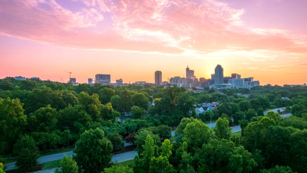
Downtown Raleigh at Twilight with a beuatiful colorful skyscape. Raleigh, North Carolina, USA.

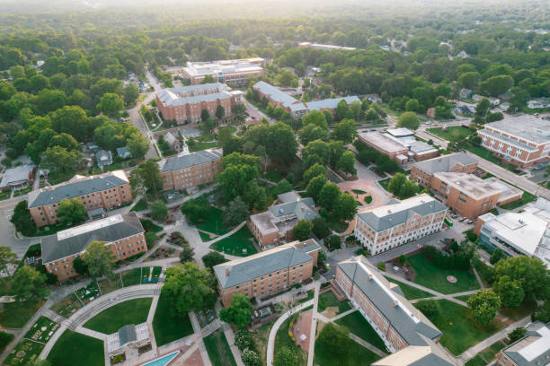
An aerial view of the North Carolina State University campus, the Memorial Belltower (center) and surrounding area in Raleigh, North Carolina.
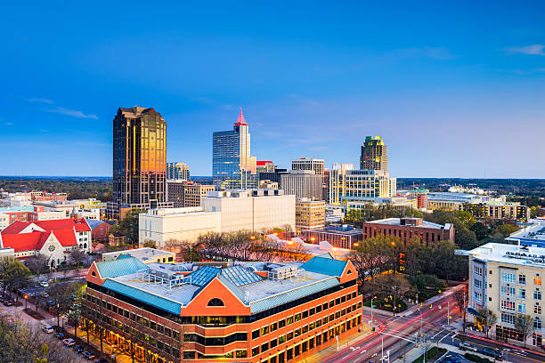
View of downtown Raleigh, North Carolina with blue sky background.
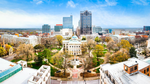
Drone panorama of the North Carolina State Capitol and Raleigh skyline
Aerial view of Raleigh, North Carolina skyline on a sunny day.

Heart of Downtown district of Raleigh, NC at sunset. Downtown Raleigh's office buildings shines under the sunset sky
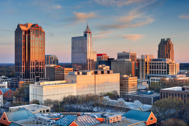
Raleigh, North Carolina, USA downtown city skyline at udsk.

Overlooking Raleigh, NC in June of 2016 at sunset. The sky is lit up beautiful hues of orange as the sun sets.
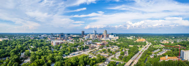
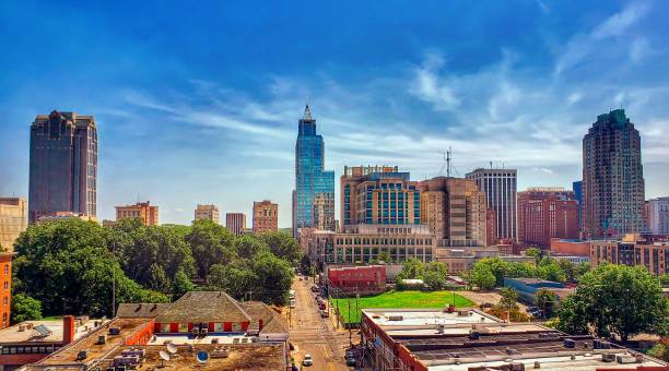
Panorama view of downtown Raleigh, North Carolina with blue sky background.
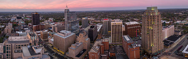
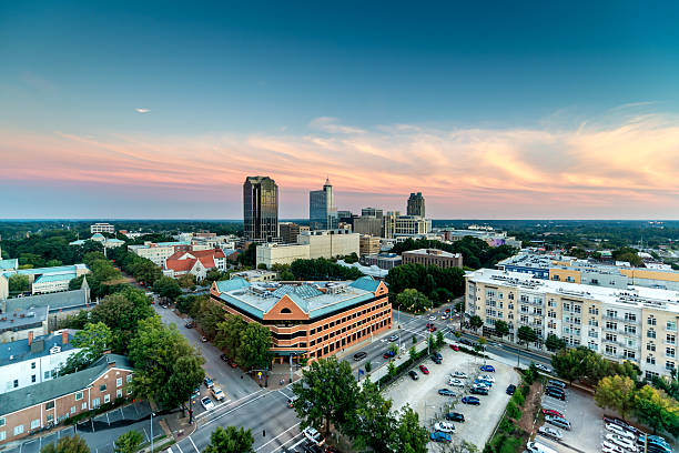
Panorama of the Raleigh, NC Skyline at dusk in March.

Aerial shot of Raleigh, North Carolina on a sunny afternoon in Fall.
Aerial panoramic view of downtown Raleigh, North Carolina and surrounding area.

Aerial over North Carolina State University in Raleigh, North Carolina

Drone panorama of the North Carolina State Capitol and Raleigh skyline

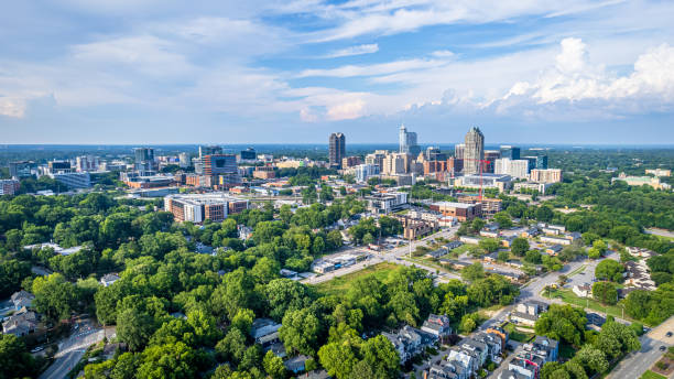
Aerial view of Raleigh, North Carolina, showcasing urban landscape and lush greenery under a vibrant blue sky with fluffy clouds.

Raleigh, NC historic landmark: North Carolina State Capitol stands surrounded by trees in Downtown Raleigh, NC.

Topographic / Road map of Raleigh, North Carolina, United States of America. Original map data is open data via © OpenStreetMap contributors. All maps made by me are layered and easy to edit.

"Aerial view to Downtown Raleigh, North Carolina, USA."

Arial Photograpy of the area surrounding Hillsboro High School in Hillsboro, Oregon, just south of the airport. Photo taken at around 1400ft. shot facing slightly northeast.

An aerial view of the North Carolina State Capitol Building in Raleigh, North Carolina.

Aerial shot of office buildings in downtown Raleigh, North Carolina on a clear evening in Fall, with rich autumn leaf color visible on the trees in the background. The setting sun is about to meet the horizon, and creates dramatic lens flare.
Raleigh, North Carolina, USA downtown city skyline.

A shot of the tobacco fields just north of Raleigh NC

Vibrant winter sunrise over the train station and downtown district of Raleigh, North Carolina, Southern USA

Raleigh, NC landmarks under the blue sky. W Jones Street in Downtown Raleigh, the North Carolina General Assembly in sunlight

Aerial shot of Raleigh, North Carolina on a overcast afternoon

Overhead view of Social distance markings in public park

Aerial shot of office buildings in downtown Raleigh, North Carolina on a clear evening in Fall, with rich autumn leaf color visible on the trees in the background. The setting sun is about to meet the horizon, and creates dramatic lens flare.
A colorful daytime cityscape of downtown Raleigh North Carolina

Drone panorama of the North Carolina State Capitol and Raleigh skyline at sunset, along Bicentennial Plaza, North Carolina Museum of History, and Museum of Natural Sciences.

Aerial shot of the North Carolina State Capitol Building in Raleigh on a sunny afternoon in Fall

Downtown Raleigh, North Carolina, USA Drone Skyline Aerial

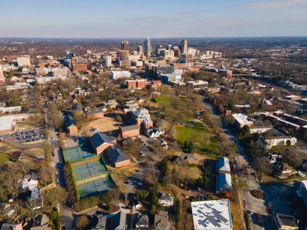
Aerial view overlooking downtown Raleigh, NC.