Images
Rio Parana Pictures, Images and Stock Photos
Browse 730+ rio parana stock photos and images available, or search for parana river or paraguay to find more great stock photos and pictures.
Most popular
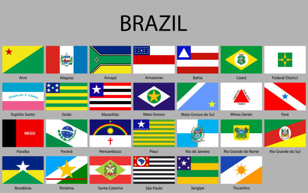
all Flags of states of Brazil. Vector illustraion
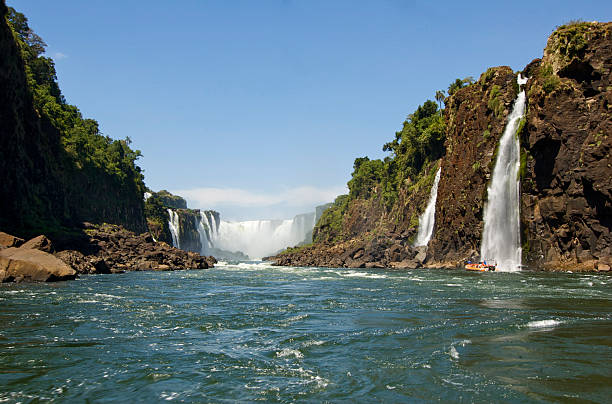
Iguazu Falls is on the border of Brazil and Argentina. It is recognized as a UNESCO World Hertiage Site for it's pure awesomeness.
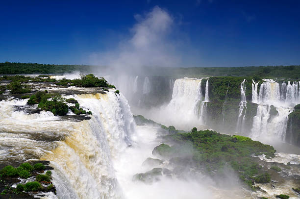
Iguazu Falls, Iguassu Falls, or Igua in the Iguazu river on the border of Brazil and Argentina.
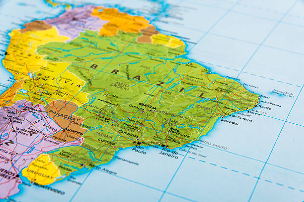
The continent of South America


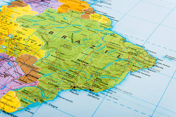
The continent of South America.
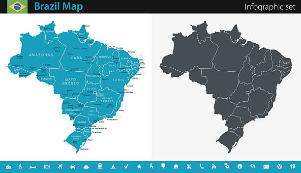
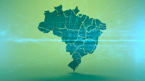
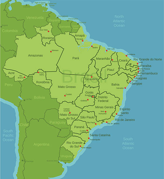
Vector maps of the Brazil with variable specification and icons The urls of the reference files are (country, continent, world map and globe): http://www.lib.utexas.edu/maps/americas/brazil.jpg http://www.lib.utexas.edu/maps/world_maps/time_zones_ref_2011.pdf - The illustration was completed February 23, 2016 and created in Corel Draw - 1 layer of data used for the detailed outline of the land

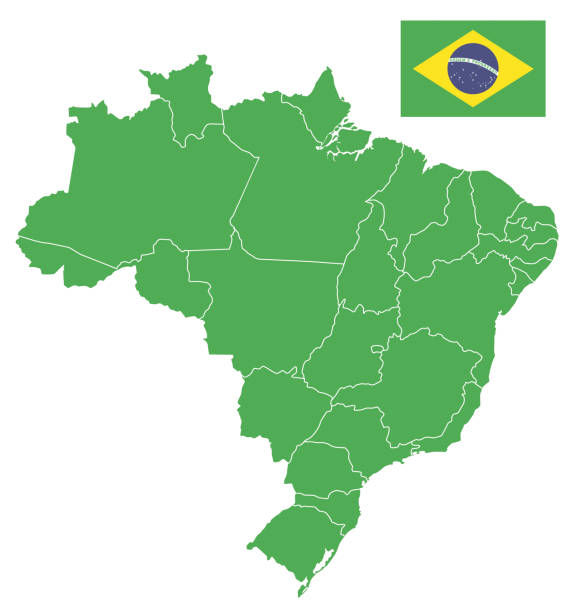
Vector Brazil map with flag I have used http://legacy.lib.utexas.edu/maps/americas/brazil_rel94.jpg address as the reference to draw the basic map outlines with Illustrator CS5 software, other themes were created by myself.
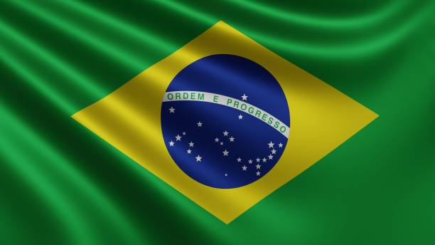
Render of the Brazil flag flutters in the wind close-up, the national flag of Brazil flutters in 4k resolution, close-up, colors: RGB. High quality 3d illustration
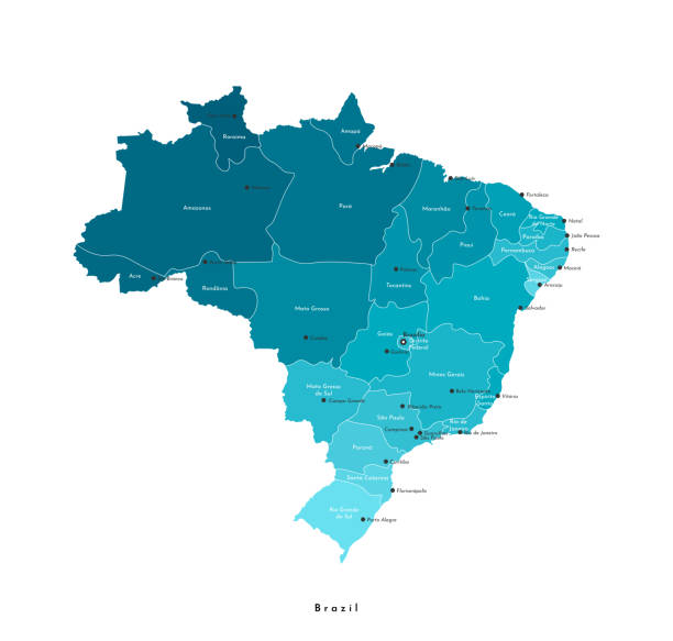
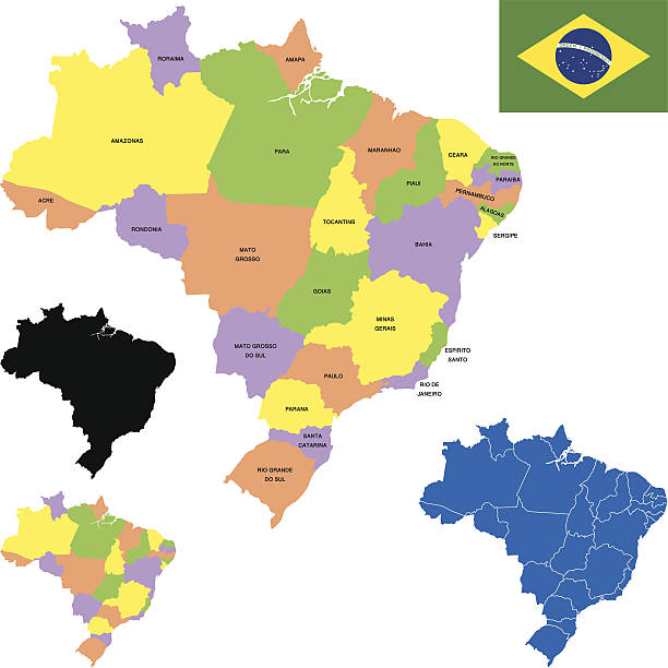
Vector modern isolated illustration. Simplified administrative map of Brazil. Names of Brazilian cities (BrasÃlia, São Paulo and etc.) and Brazilian states. White background.

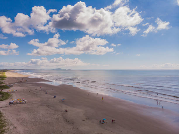
Aerial image of the shore of Ipanema beach, in Pontal do Paraná, in southern Brazil with waves crashing on the sand on a blue sky day with clouds
Empty Blue Map of Brazil The urls of the reference files are (country, continent, world map and globe): http://www.lib.utexas.edu/maps/americas/brazil.jpg http://www.lib.utexas.edu/maps/world_maps/time_zones_ref_2011.pdf - The illustration was completed February 18, 2016 and created in Corel Draw - 1 layer of data used for the detailed outline of the land

Animation of a map from Brazil showing the state of São Paulo and Rio de Janeiro.

Top View of Harbor in a Pier, Vitoria, Brazil

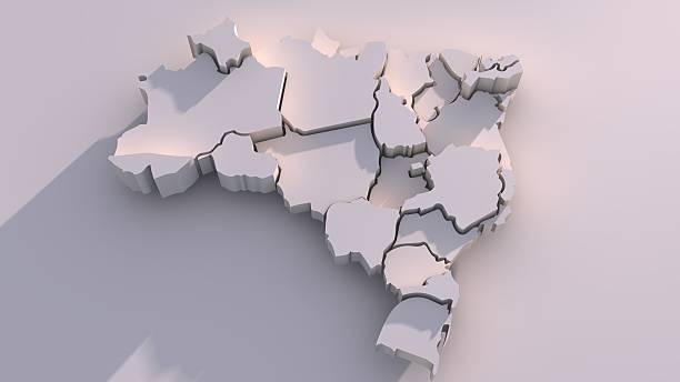
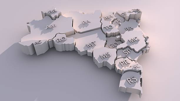
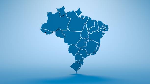
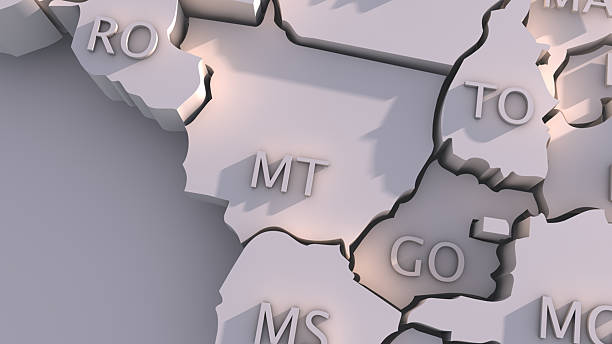
Map, Brazil, Three Dimensional, Mato Grosso do Sul State, Minas Gerais State, Rio Grande do Sul, Rio de Janeiro, Santa Catarina
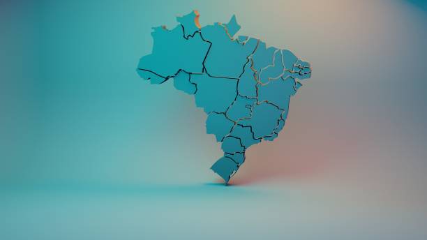
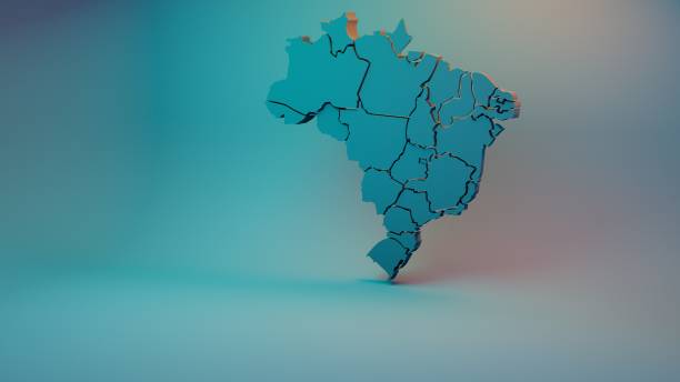
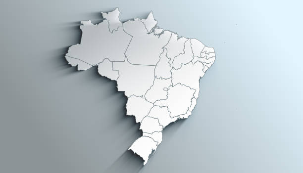
3D map of Federative Republic of Brazil with visible regions.
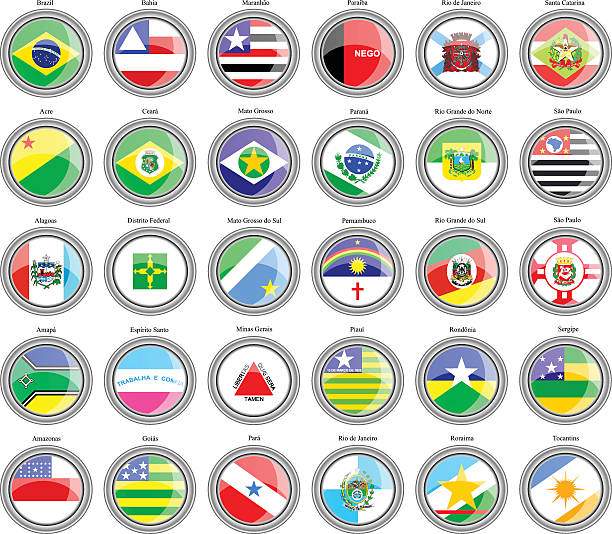
Set of icons. Flags of the Brazilian states.


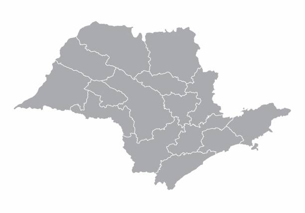
A gray map of the Sao Paulo State regions, Brazil
3D map of Federative Republic of Brazil with visible regions.
Country Political Geographical Map of Brazil with States with Shadows
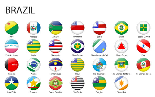
all Flags of states of Brazil. Glossy button flag design
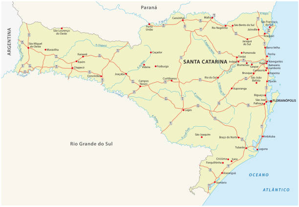
road vector map of the brazilian state santa catarina.
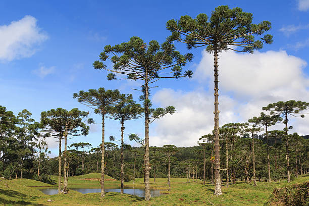
Landscape with Araucaria angustifolia ( Brazilian pine) with sky and clouds background, Brazil. Selective focus

Animation of a map from Brazil showing the state of São Paulo and Rio de Janeiro.
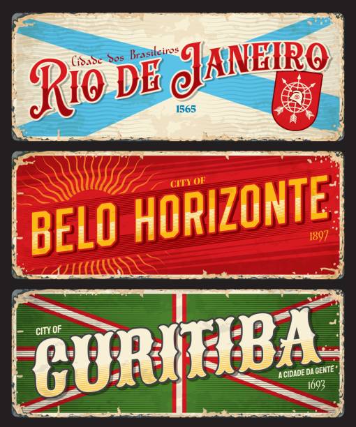
Rio de Janeiro, Belo Horizonte, Curitiba brazilian city travel stickers and plates. Brazil city grunge tin sign or shabby postcard. South America vacation travel vector plate with flags and emblems
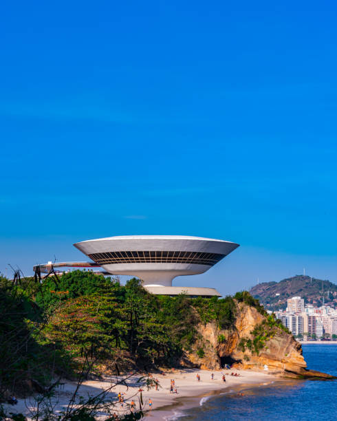
The Museum of Contemporary Art of Niterói (MAC) was designed by Oscar Niemeyer, a very important Brazilian architect. In 2020, the Museum of Contemporary Art was elected, by the Project Management Institute (PMI), as one of the 10 most influential works of architecture in the last 50 years.
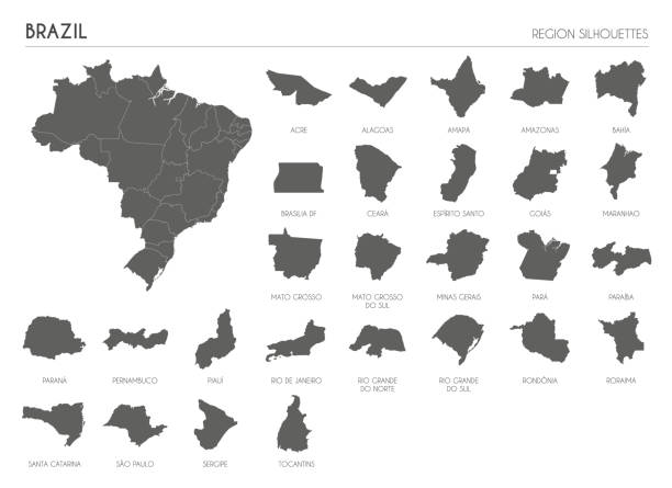
Vector maps of Brazil with variable specification and icons


Map of Brazil with its capital location, Brasilia, for web banner, mobile app, and educational use. The map is accurately prepared by a map expert.
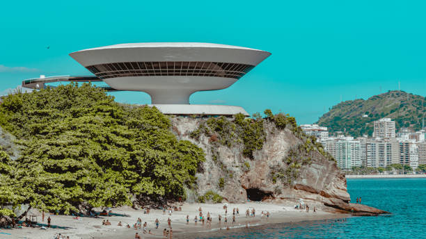
The Museum of Contemporary Art of Niterói (MAC) was designed by Oscar Niemeyer, a very important Brazilian architect. In 2020, the Museum of Contemporary Art was elected, by the Project Management Institute (PMI), as one of the 10 most influential works of architecture in the last 50 years.
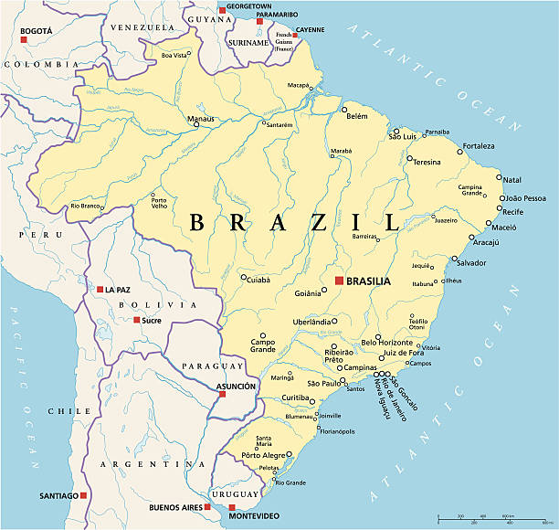
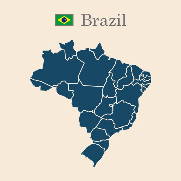
Political map of Brazil with capital Brasilia, national borders, most important cities, rivers and lakes. Vector illustration with english labeling and scale.
map of Brazil with states for your design , products and print.
Silhouette and colored (turquoise) brazil map
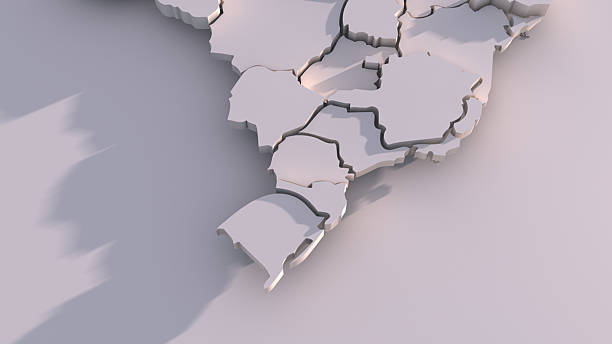
3D map of Federative Republic of Brazil with visible regions.

A 3D map showing all the continents.
brazil old style map with flag, vector illustration, isolated on beige background 10 eps
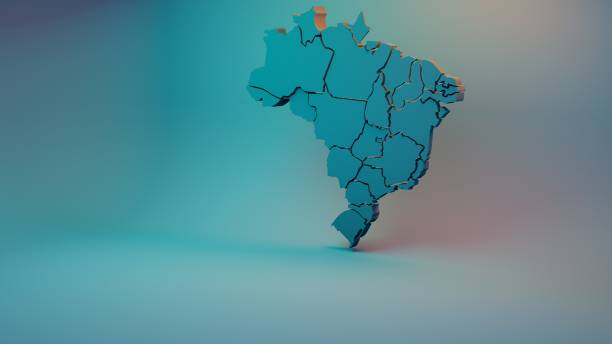
Map, Brazil, Three Dimensional, Mato Grosso do Sul State, Minas Gerais State, Rio Grande do Sul, Rio de Janeiro, Santa Catarina
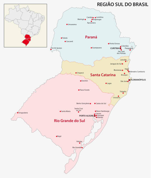
brazil south region vector map
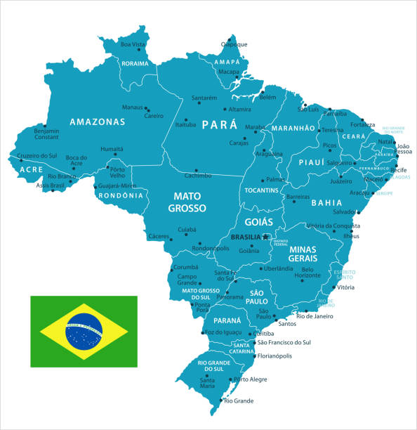
This file is a map highlighting Brazil as well as it's states and capital cities. This map also shows surrounding countries and capital cities if present. This map has text labels for the countries, states, capital cities and major bodies of water. ZOOM IN on this highly detailed map, it is a great addition to the collection. This file will work well for your print or web based project. This file is layered and grouped (labeled in ai v10 file), making it a very easy file to work with. This download contains an editable ai v10 and eps file, as well as a large JPG file.
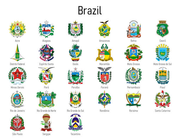
Coat of arms of the states of Brazil, All Brazilian regions emblem collection
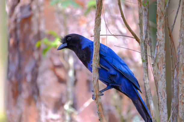
Azure Jay, Gralha Azul or Blue Jackdaw bird, Cyanocorax Caeruleus, Florianopolis, Santa Catarina, Brazil, South America
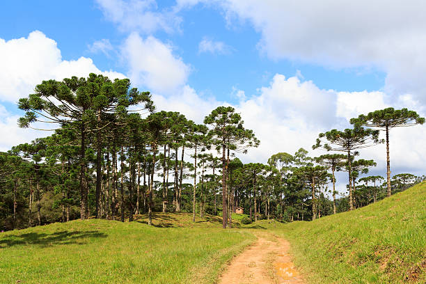
Landscape with Araucaria angustifolia ( Brazilian pine), road and clouds background, Brazil. Selective focus
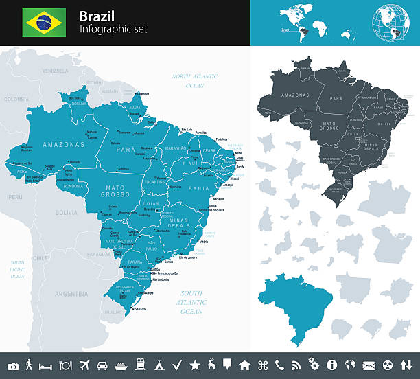
Vector maps of Brazil with variable specification and icons

Fruits (berry) of Schinus terebinthifolius, Brazilian pepper, aroeira, rose pepper, Christmasberry tree. Selective focus on berry. Natural lights on background
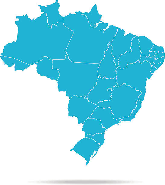
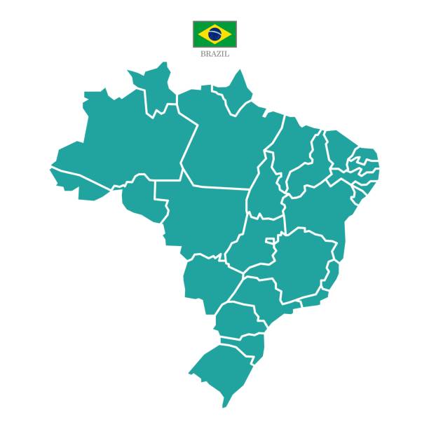
Map of Brazil - Vector illustration
3D map of Federative Republic of Brazil with visible regions.
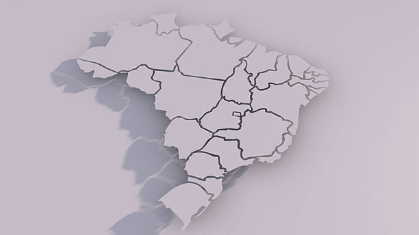
3D map of Federative Republic of Brazil with visible regions.


Next