Ocean Water Topographic Background isolines.
Browse 10,400+ sailing map stock photos and images available, or search for old sailing map to find more great stock photos and pictures.
Ocean Water Topographic Background isolines.
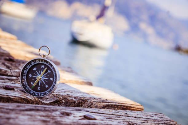
Compass lying on wooden dock pier in the foreground, sailing boats in the blurry background
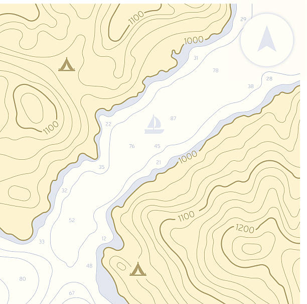
Topographic land with water channel. Also compass, camping and sailing symbols. EPS 10 file. Transparency effects used on highlight elements.
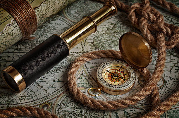
Nautical background with a navigation tools: telescope, compass and old maps

Blue horizontal topographic background.

Blue ships navigation illustration with compass, lighthouse and ancient maps
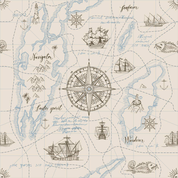
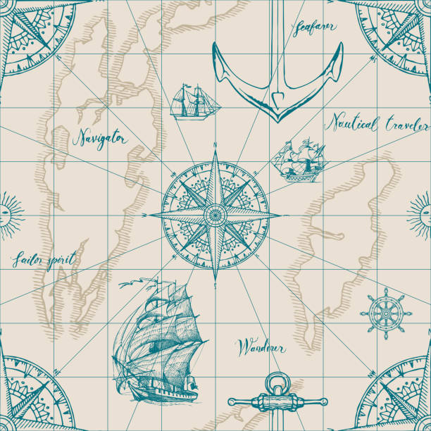
Vector abstract seamless background on the theme of travel, adventure and discovery. Old hand drawn map with vintage sailing yachts, wind rose, routs, nautical symbols and handwritten inscriptions

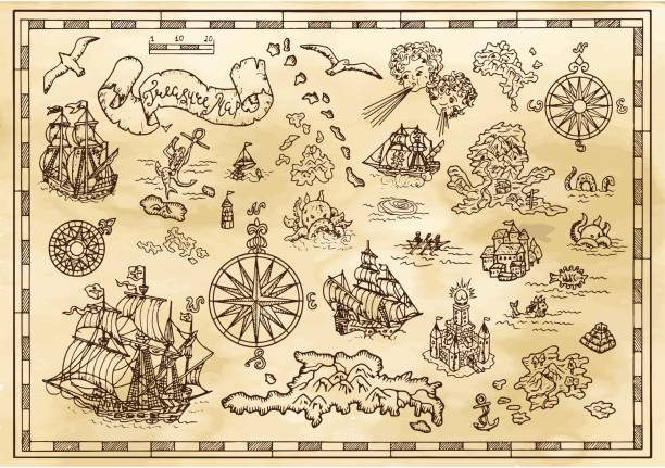
Old vintage map of Mediterranean sea, pirate sailing and treasure island, antique vector. Map of Mediterranean sea with fantasy monsters and seafaring ship plan in Europe with compass wind rose
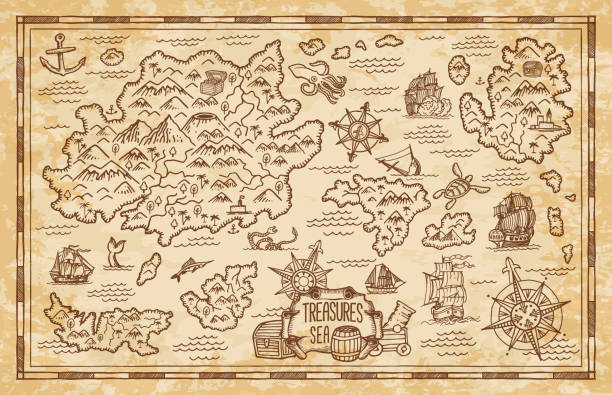
Old treasure map of pirate vector sketch with islands of Caribbean Sea, vintage nautical compass, pirate ships. Anchors, antique parchment, treasure chests and fantasy ocean monsters, adventure design

old map with ship and compass shallow depth of field

Vector background on the theme of travel, adventure and discovery. Vintage hand-drawn sailboats, sunken ships, map, wind rose, anchor, steering wheel, compass. Attributes of maritime navigation

Low depth of field image of chart plotter, parallel rules and divider on a chart.

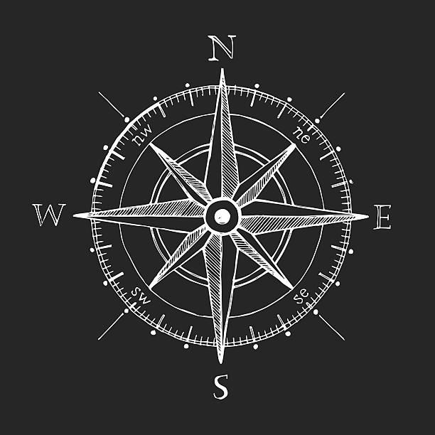
Hand drawn wind rose. Engraving style illustration.
![Sailor with a chart in his hand pointing forward Three people are sailing in the archipelago of Stockholm, Sweden. The person navigating is pointing forward, creating a dynamic look. The chart is clearly visible in his hands. The helmsman tries to see what the navigator is pointing at. They are wearing saiing jackets, indicating cold weather. Wideangle shot.
Similar images:[url=http://www.istockphoto.com/file_search.php?action=file&lightboxID=3968202]
[img]http://www.istockphoto.com/file_thumbview_approve.php?size=1&id=5879678[/img] [img]http://www.istockphoto.com/file_thumbview_approve.php?size=1&id=5906040[/img] [img]http://www.istockphoto.com/file_thumbview_approve.php?size=1&id=5242502[/img][/url]
[url=http://www.istockphoto.com/file_search.php?action=file&lightboxID=3968202] Sailing in the archipelago
[img]http://www.istockphoto.com/file_thumbview_approve.php?size=1&id=12029282[/img] [img]http://www.istockphoto.com/file_thumbview_approve.php?size=1&id=4578849[/img] [img]http://www.istockphoto.com/file_thumbview_approve.php?size=1&id=9647840[/img]
[img]http://www.istockphoto.com/file_thumbview_approve.php?size=1&id=11175545[/img] [img]http://www.istockphoto.com/file_thumbview_approve.php?size=1&id=10360296[/img] [img]http://www.istockphoto.com/file_thumbview_approve.php?size=1&id=18000071[/img][/url]
[url=http://www.istockphoto.com/file_search.php?action=file&lightboxID=4431453] Typically Swedish
[img]http://www.istockphoto.com/file_thumbview_approve.php?size=1&id=9505781[/img] [img]http://www.istockphoto.com/file_thumbview_approve.php?size=1&id=6625819[/img] [img]http://www.istockphoto.com/file_thumbview_approve.php?size=1&id=6625759[/img][/url]
[url=http://www.istockphoto.com/file_search.php?action=file&lightboxID=4211262] Stockholm
[img]http://www.istockphoto.com/file_thumbview_approve.php?size=1&id=3421732[/img] [img]http://www.istockphoto.com/file_thumbview_approve.php?size=1&id=4351448[/img] [img]http://www.istockphoto.com/file_thumbview_approve.php?size=1&id=9446498[/img][/url] sailing map stock pictures, royalty-free photos & images](https://media.istockphoto.com/id/108198304/photo/sailor-with-a-chart-in-his-hand-pointing-forward.jpg?s=612x612&w=0&k=20&c=kVMhDsDnOrTILXN6iUHBRX4YIAH-4Fze962svFm-ro0=)
Three people are sailing in the archipelago of Stockholm, Sweden. The person navigating is pointing forward, creating a dynamic look. The chart is clearly visible in his hands. The helmsman tries to see what the navigator is pointing at. They are wearing saiing jackets, indicating cold weather. Wideangle shot. Similar images:[url=http://www.istockphoto.com/file_search.php?action=file&lightboxID=3968202] [img]http://www.istockphoto.com/file_thumbview_approve.php?size=1&id=5879678[/img] [img]http://www.istockphoto.com/file_thumbview_approve.php?size=1&id=5906040[/img] [img]http://www.istockphoto.com/file_thumbview_approve.php?size=1&id=5242502[/img][/url] [url=http://www.istockphoto.com/file_search.php?action=file&lightboxID=3968202] Sailing in the archipelago [img]http://www.istockphoto.com/file_thumbview_approve.php?size=1&id=12029282[/img] [img]http://www.istockphoto.com/file_thumbview_approve.php?size=1&id=4578849[/img] [img]http://www.istockphoto.com/file_thumbview_approve.php?size=1&id=9647840[/img] [img]http://www.istockphoto.com/file_thumbview_approve.php?size=1&id=11175545[/img] [img]http://www.istockphoto.com/file_thumbview_approve.php?size=1&id=10360296[/img] [img]http://www.istockphoto.com/file_thumbview_approve.php?size=1&id=18000071[/img][/url] [url=http://www.istockphoto.com/file_search.php?action=file&lightboxID=4431453] Typically Swedish [img]http://www.istockphoto.com/file_thumbview_approve.php?size=1&id=9505781[/img] [img]http://www.istockphoto.com/file_thumbview_approve.php?size=1&id=6625819[/img] [img]http://www.istockphoto.com/file_thumbview_approve.php?size=1&id=6625759[/img][/url] [url=http://www.istockphoto.com/file_search.php?action=file&lightboxID=4211262] Stockholm [img]http://www.istockphoto.com/file_thumbview_approve.php?size=1&id=3421732[/img] [img]http://www.istockphoto.com/file_thumbview_approve.php?size=1&id=4351448[/img] [img]http://www.istockphoto.com/file_thumbview_approve.php?size=1&id=9446498[/img][/url]

Antique world map. Vintage compass and retro ship on ancient marine map. Old countries boundaries earth geography antiques navigation cartography west coast and north america vector illustration
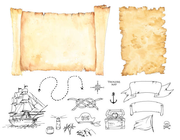
Vector graphic set for Treasure Map design. Altered paper scroll and a torn paper sheet in watercolour technique can be used as background. The ink line art illustrations, like ship, wind rose, dotted line path, scull, rope knot, pirate hat, treasure chest etc. are perfect for creating Pirate Map.
Vintage compass. Nautical map directions vintage rose wind. Retro marine wind measure. Windrose compasses vector icons isolated

Old compass over ancient map from XVIII century

Cartoon Vintage Map with lost of elements. There are several varieties of fish and whales. Lots of small ornaments such as waves, seagulls and a hand drawn compass rose.
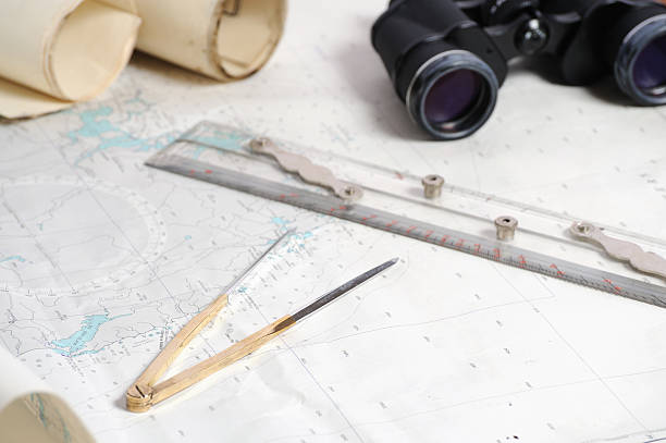
"Charts, Parallel Rule, Binoculars and Dividers on table."
Compass wind rose hand drawn vector design element.

Illustration on a marine theme. Sea-piece with a compass and ropes.
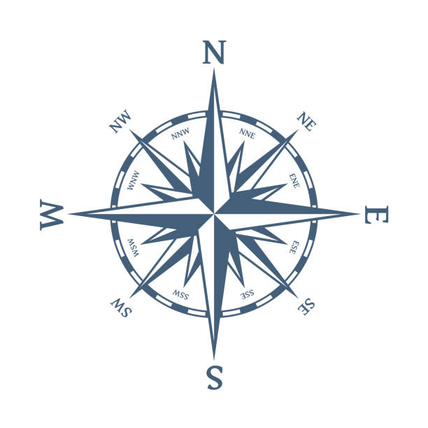
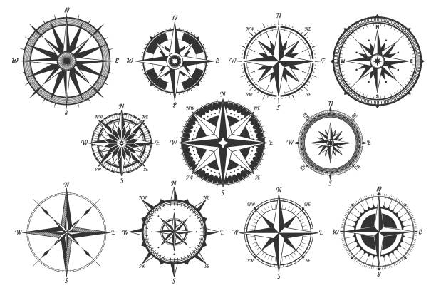
Wind rose vector illustration. Nautical compass icon isolated on white background. Design element for marine theme and heraldry. EPS 10.
Black and white illustration of old map with sailboat, gull, unknown lands and islands, compass and wind rose. Vector vintage drawings, marine concept, coloring book page, t-shirt graphic
Vector abstract seamless background on the theme of travel, adventure and discovery. Old map with caravels, vintage sailing yachts, wind roses, anchors and handwritten inscriptions in retro style

Mid adult Caucasian men sitting at table and discussing document, pointing at paper. Luxury vacation at sea.

Pirate adventures, treasure hunt and old transportation concept. Vector illustration, vintage background
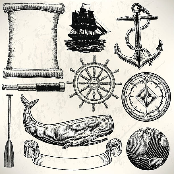
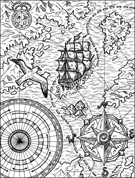
Old World Sailing Discovery Nautical Equipment. Pen and ink style illustration of Old World Sailing Discovery Nautical Equipment. Check out my "Ships, Sailing & Sea" light box for more.

EPS 10 summer beach top view islands illustration
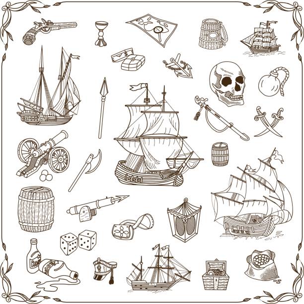
Old sea doodles set. Vector illustration on a theme of a treasure and pirates.
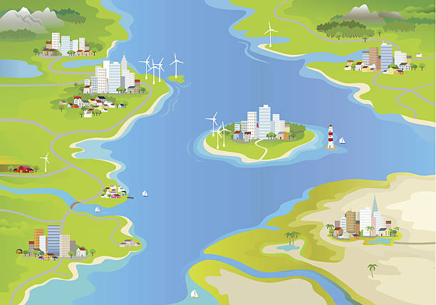
Landscape with windmills, cities and an island in the middle of the sea.

Retro vintage spyglass telescope with sextant on wooden background

Topographic beige hiking compass rose direction map abstract background lines pattern.

Old vintage map of caribbean sea. Vector worn parchment with ships, islands and land, wind rose and cardinal points. Fantasy world, vintage grunge paper, pirate map with travel locations and monsters

Nautical chart with compass.Similar photographs from my portfolio:

Vector illustration of sailing ship in retro style

Vintage treasure island map background with a wind rose compass.
The icons were created on a 48x48 pixel aligned, perfect grid providing a clean and crisp appearance. Adjustable stroke weight.

"Origami paper boats made of euros, British pounds, American dollars and Australian dollars on a nautical chart with copy space. Differential focus.Click on the link below to see more of my business and Euro images"
Pirate adventures, treasure hunt and old transportation concept. Hand drawn vector illustration, vintage background
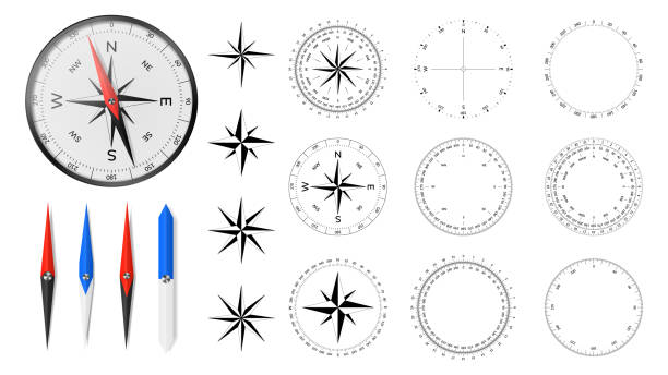
Navigational compass with set of additional dial faces, wind roses and directional needles

A decorative compass rose from a XVI-century map. Very high resolution scan at 600 dpi.
A set of editable stroke thin line icons. File is built in the CMYK color space for optimal printing. The strokes are 2pt black and fully editable, so you can adjust the stroke weight as needed for your project.
![High resolution image of an old compass rose off-centered A decorative compass rose from a XVI-century map. Very high resolution scan at 600 dpi.
[url=http://tools.stock-board.info/lightboxes/goto-519ac741509eba2c18e0e244cfad9aa0][img]http://tools.stock-board.info/lightboxes/image-519ac741509eba2c18e0e244cfad9aa0.png[/img][/url]
[url=http://www.istockphoto.com/file_search.php?action=file&lightboxID=7958330&refnum=rachwal81][img]http://tools.stock-board.info/lightboxes/100316-a25085acee55be51387a2202c1d1609b[/img][/url]
[url=http://www.istockphoto.com/file_search.php?action=file&lightboxID=7834291&refnum=rachwal81][img]http://tools.stock-board.info/lightboxes/100225-6e024cc7342a6a69601b52dc83fe3eaf[/img][/url]
[url=http://www.istockphoto.com/file_search.php?action=file&lightboxID=7834418&refnum=rachwal81][img]http://tools.stock-board.info/lightboxes/100225-11fbf47c0865ca1b5590ec77fabd08b8[/img][/url] sailing map stock illustrations](https://media.istockphoto.com/id/155421615/vector/high-resolution-image-of-an-old-compass-rose-off-centered.jpg?s=612x612&w=0&k=20&c=QRKn2R9YkvnZlyq-sbsq143xorKm9UXKKjdpBiHrBCo=)
A decorative compass rose from a XVI-century map. Very high resolution scan at 600 dpi. [url=http://tools.stock-board.info/lightboxes/goto-519ac741509eba2c18e0e244cfad9aa0][img]http://tools.stock-board.info/lightboxes/image-519ac741509eba2c18e0e244cfad9aa0.png[/img][/url] [url=http://www.istockphoto.com/file_search.php?action=file&lightboxID=7958330&refnum=rachwal81][img]http://tools.stock-board.info/lightboxes/100316-a25085acee55be51387a2202c1d1609b[/img][/url] [url=http://www.istockphoto.com/file_search.php?action=file&lightboxID=7834291&refnum=rachwal81][img]http://tools.stock-board.info/lightboxes/100225-6e024cc7342a6a69601b52dc83fe3eaf[/img][/url] [url=http://www.istockphoto.com/file_search.php?action=file&lightboxID=7834418&refnum=rachwal81][img]http://tools.stock-board.info/lightboxes/100225-11fbf47c0865ca1b5590ec77fabd08b8[/img][/url]
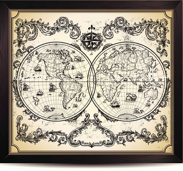
Vintage World Map in wood frame.
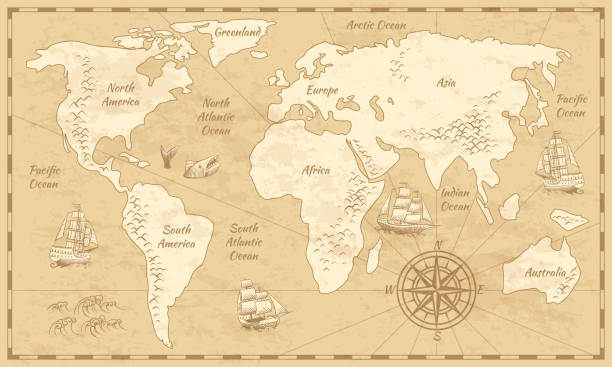
Vintage world map. Ancient world antiquity paper map with continents ocean sea old sailing vector background

Illustration of a Antique world map of Sailing ship ways in 19th century

Vector Magellan's Journey Around the World I have used http://legacy.lib.utexas.edu/maps/world_maps/world_physical_2015.pdf

Beautifully Illustrated Antique Engraved Victorian Illustration of Historical Map of New England from Explorer Captain John Smith, Circa 1624. Source: Original edition from my own archives. Copyright has expired on this artwork. Digitally restored.