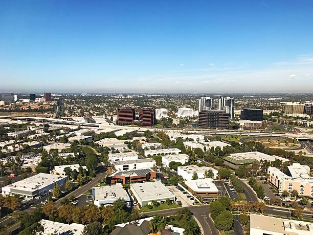
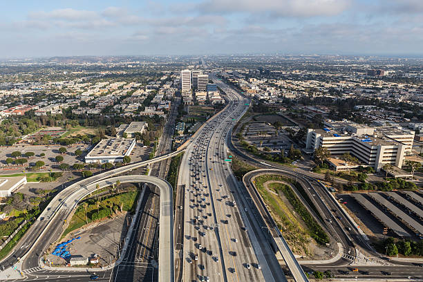
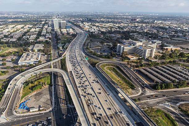
"Irvine office buildings on both sides of the 405 freeway. Irvine has the largest highrise office / business district in Orange County, and is located just beside the John Wayne Airport, the commercial airport that serves Orange County."
Browse 280+ san diego freeway stock photos and images available, or search for san diego county or san diego highway to find more great stock photos and pictures.
"Irvine office buildings on both sides of the 405 freeway. Irvine has the largest highrise office / business district in Orange County, and is located just beside the John Wayne Airport, the commercial airport that serves Orange County."
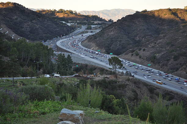
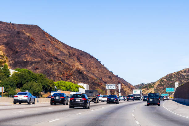
Heavy traffic on the Interstate 405 at the Sepulveda pass. Sepulveda Pass connects the Los Angeles Basin to the San Fernando Valley through the Santa Monica Mountains in Los Angeles.
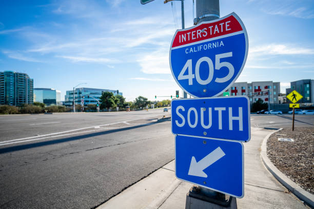
Close up Photo of Interstate 405 Sign headed South Bound in Irvine, CA.
Traffic on Hollywod freeway, Los Angeles. California, USA
Aerial View high above the 405 Freeway in Los Angeles looking south east with Palms and Culver City in the background
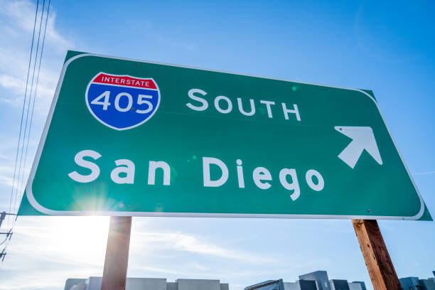
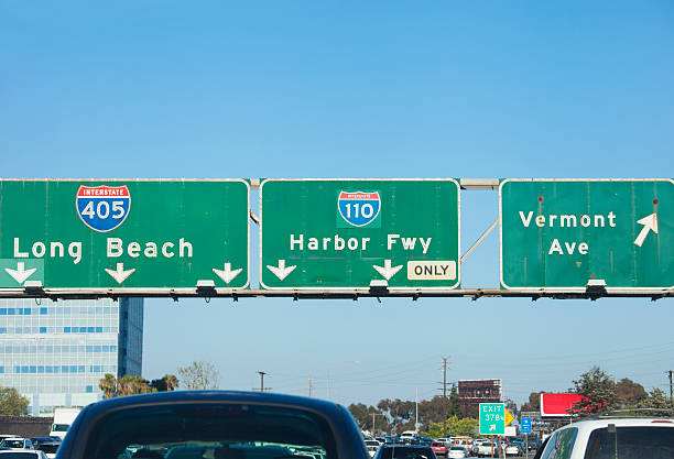
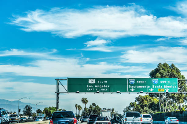
Close up Image of a 405 Sign in Irvine, CA headed South Bound to San Diego

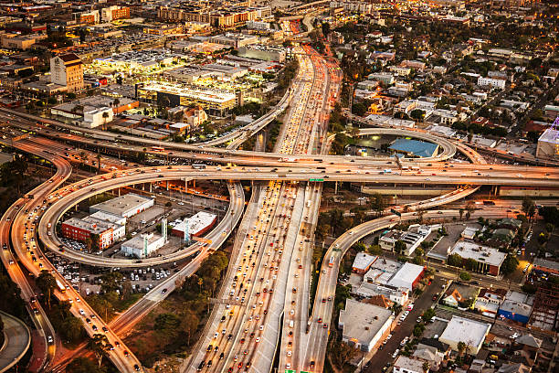
Harbor Gateway North, Southern California, USA Daytime Aerial view of the I-110 Harbor Freeway and the I-105 Century Freeway interchanges in Los Angeles. Judge Harry Pregerson Interchange

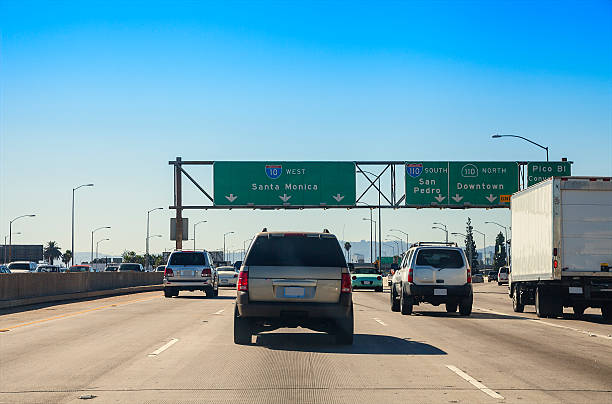
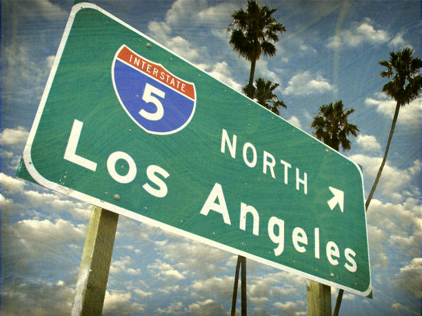
San Diego, California, United States - July 31, 2018: Coronado Bridge highway road sign of North or South Interstate 5. Direction road sign with San Diego Downtown or National Ave. Traffic urban scene

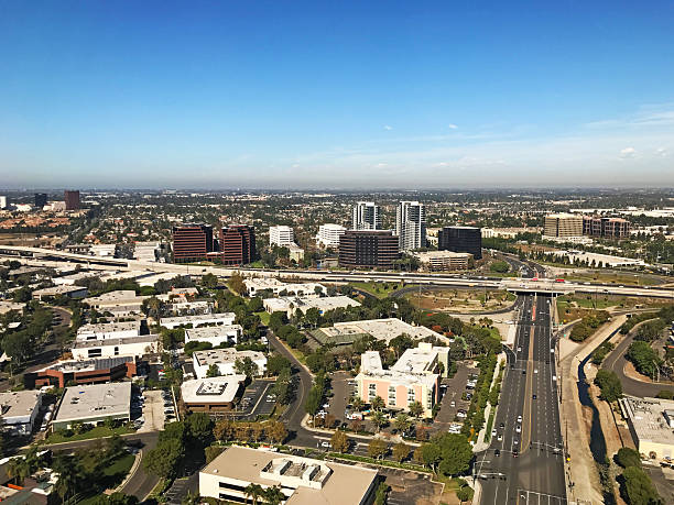
View of the Irvine Business Complex Skyline with a blue sky with clouds in the background and the 405 Freeway in the foreground.
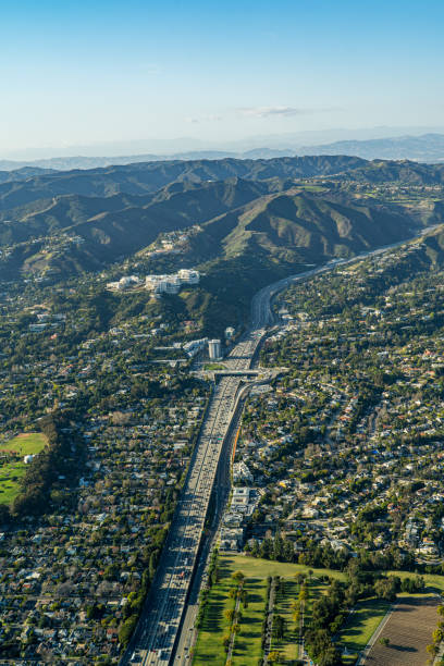
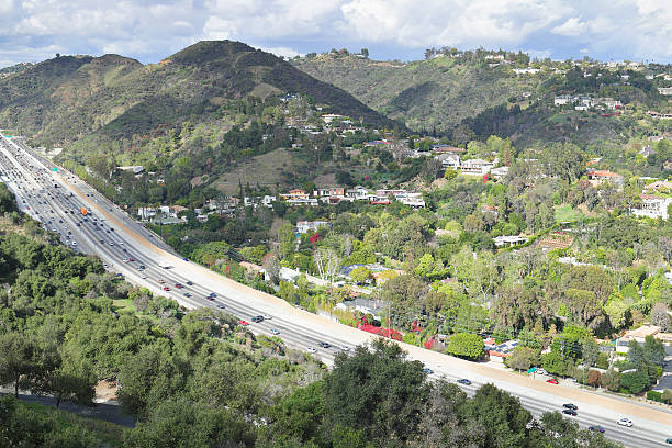
Interstate 405 at the Sepulveda pass. Sepulveda Pass connects the Los Angeles Basin to the San Fernando Valley through the Santa Monica Mountains in Los Angeles. It is crossed by the San Diego Freeway (I-405) and Sepulveda Boulevard. Heavy traffic on the pass is common occurrence throughout the day.
Century San Diego Freeway interchange intersection junction Highway Los Angeles roads traffic America city aerial top view photo

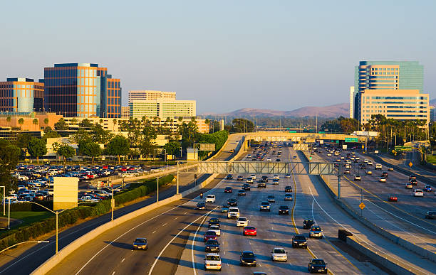
The Costa Mesa (South Coast Area) skyline with the 405 freeway (in the foreground) at dusk.
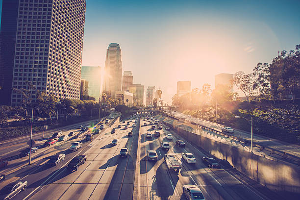
Los Angeles traffic in late afternoon
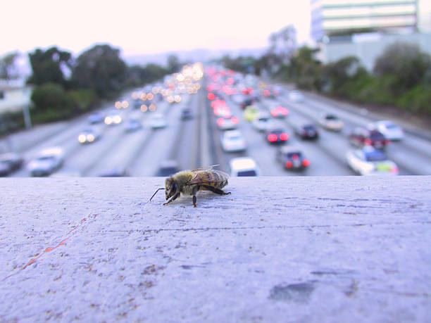
Single Bee on Bridge Overpass of the 405 in Los Angeles

Interstate 405 at the Sepulveda pass. Sepulveda Pass connects the Los Angeles Basin to the San Fernando Valley through the Santa Monica Mountains in Los Angeles. It is crossed by the San Diego Freeway (I-405) and Sepulveda Boulevard. Heavy traffic on the pass is common occurence throughout the day.

Traffic on Pacific Coast Highway. California, USA
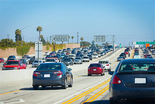
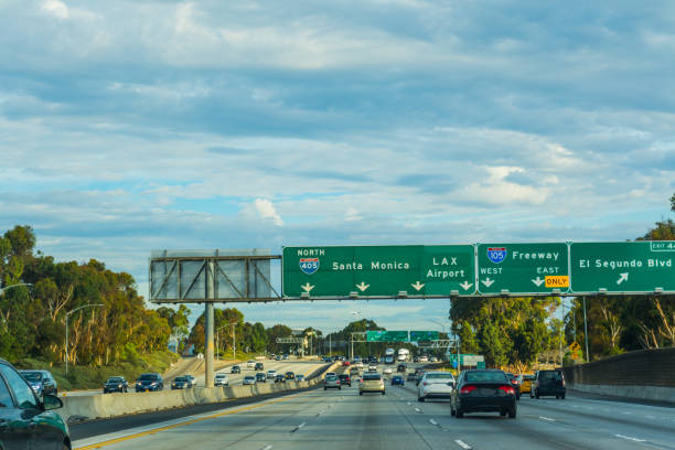
Los Angeles, California, USA - August 17, 2014: Sunday afternoon traffic on Los Angeles's busy San Diego 405 Freeway at Sunset Blvd.
The Costa Mesa Skyline in Orange County, Southern CaliforniaThe Costa Mesa Skyline in Orange County, Southern California
The Costa Mesa Skyline in Orange County, Southern CaliforniaThe Costa Mesa Skyline in Orange County, Southern California

Aerial view above 405 Freeway in Los Angeles looking North towards and Bel Air, Brentwood, Westwood Santa Monica
Traffic on Freeway 101 southbound. Los Angeles, California

Aerial view of Interstate 405 Freeway near Brentwood, Los Angeles
Aerial view above 405 Freeway in Los Angeles looking North towards Bel Air, Brentwood, Westwood Santa Monica
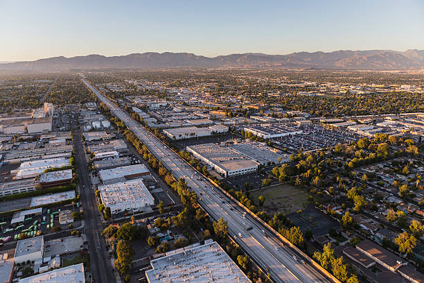
Late afternoon aerial view of Ventura 101 Freeway near Sepulveda Blvd in the San Fernando Valley area of Los Angeles, California.
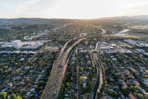
Los Angeles, California, USA - July 21, 2016: Aerial of the San Diego 405 freeway in the San Fernando Valley area of Los Angeles, California.
Traffic in 405 freeway northbound, California
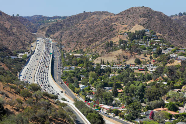
Heavy traffic on the Interstate 405 at the Sepulveda pass. Sepulveda Pass connects the Los Angeles Basin to the San Fernando Valley through the Santa Monica Mountains in Los Angeles.

Interstate 405 through Los Angeles with the intersection of Wilshire Blvd. below and the Los Angeles VA hospital prominently visible in the foreground.
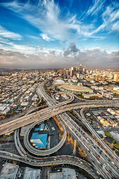
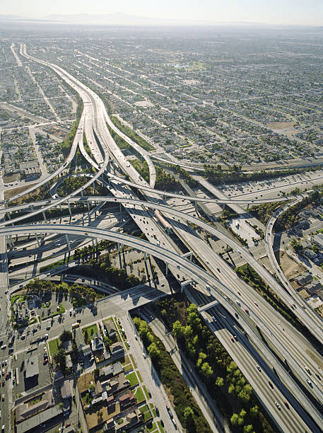
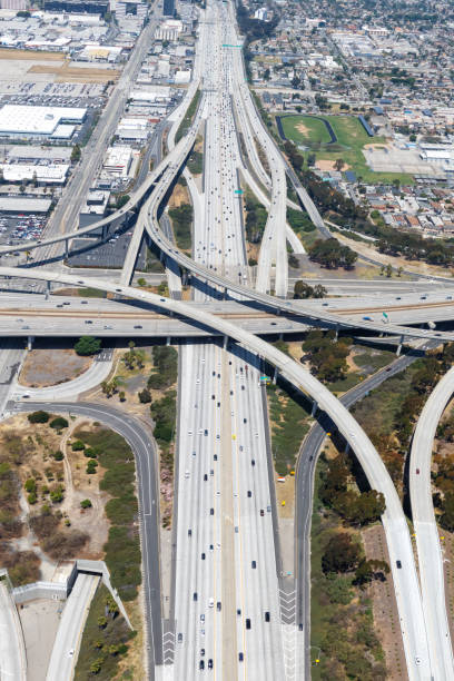
Aerial view of Los Angeles and big freeway intersection. Many details visible in the image.

Aerial Views over Brentwood, looking towards downtown Los Angeles.
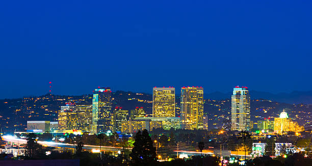
Skyline of the Century City business district of Los Angeles at dusk, with the Santa Monica mountains in the background and the 405 freeway in the foreground. Century City is part of the Westside area of Los Angeles and is most known for both the headquarters of 20th Century Fox, and the Century Plaza Hotel, which is where the President of the United States stays at when visiting Los Angeles.
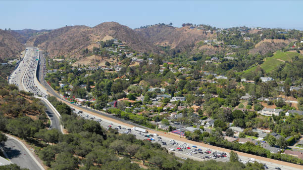
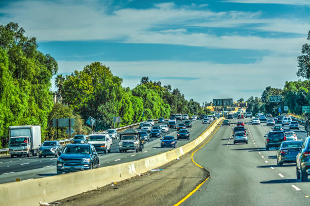
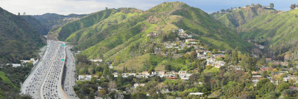
Interstate 405 is a north–south highway in Southern California running along the western and southern parts of Los Angeles from Irvine to San Fernando. It is a heavily traveled and is the most congested freeway in the United. It crosses over the Sepulveda Pass in the Santa Monica Mountains.

Daytime view of the Sepulveda pass. Sepulveda Pass connects the Los Angeles Basin to the San Fernando Valley through the Santa Monica Mountains in Los Angeles.
Helicopter point of view of Highway 405 and Highway 110 intersection in California, USA.
Smog over the city on a clear day.

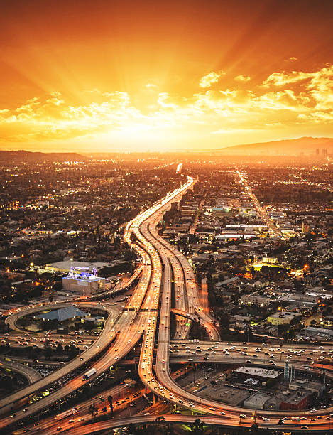
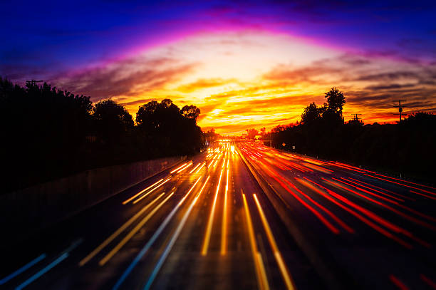
Sunset aerial view of Route 405 freeway crossing the San Fernando Valley in Los Angeles, California.

Traffic in 101 freeway in Los Angeles, California

January 8, 2025, Los Angeles, California, USA. A plume of smoke from the Pacific Palisades fire in Los Angeles, California, seen in the rear view mirror of a car driving away to safety. Emergency preparedness, escaping a natural disaster with traffic on the highway and crowded roads.

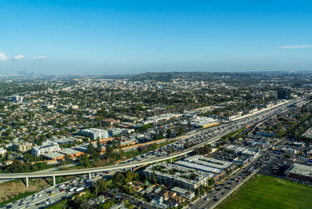
Los Angeles, California, USA - October 22, 2023 - Aerial view of the 405 near Los Angeles Airport (LAX) showing various office buildings, public storage and the University of West Los Angeles building

View over the busy 405 highway and Century City on a partly cloudy day seen from the Santa Monica Mountains in Los Angeles

Los Angeles traffic on the 405 freeway under the bridge in rain.

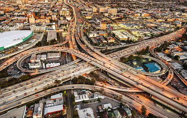
8/6/2022: Los Angeles, California - Aerial picture of The Award Winning Judge Harry Pregerson Interchange at the intersection of the I-105 and the I-110 (harbor freeway) as well as the Metro Green Line tracks. As seen in the movies Speed and La-La Land
San Diego Freeway running through the west side of Los Angeles, California.
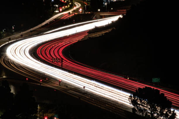
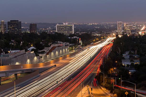
A long exposure processed photo of traffic driving from Downtown Los Angeles to the San Fernando Valley.
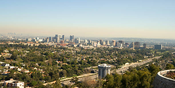
Aerial view of West Los Angeles with traffic on the 405 Freeway at the Wilshire lvd.
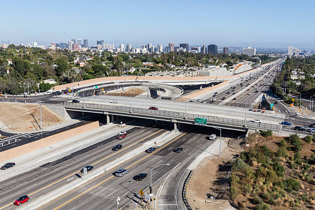
Aerial view of the San Diego 405 Freeway at Wilshire Blvd in West LA.
Dec 9, 2019 Los Angeles / CA / USA - Cars driving on Highway 405; Burned hills visible on the left side as result of Getty Fire;
aged and worn vintage Los Angeles freeway sign
Los Angeles, California, USA - August 6, 2016: Aerial view of Wilshire Blvd ramps to the San Diego 405 Freeway in West Los Angeles.

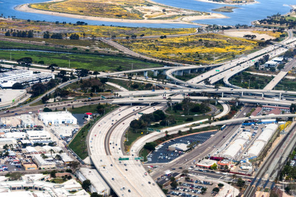
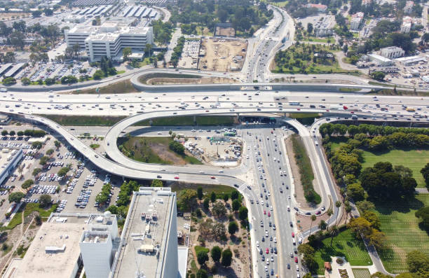
Aerial view of 405 freeway (San Diego Freeway) at the 105 freeway (Glenn Anderson Freeway). Black and white photograph. Los Angeles, California.