Images
Trinidad Tobago Map Pictures, Images and Stock Photos
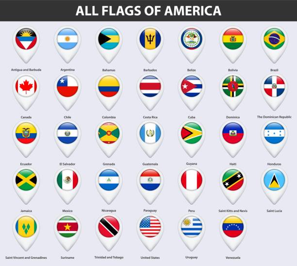
Browse 530+ trinidad tobago map stock photos and images available, or start a new search to explore more stock photos and images.
Most popular
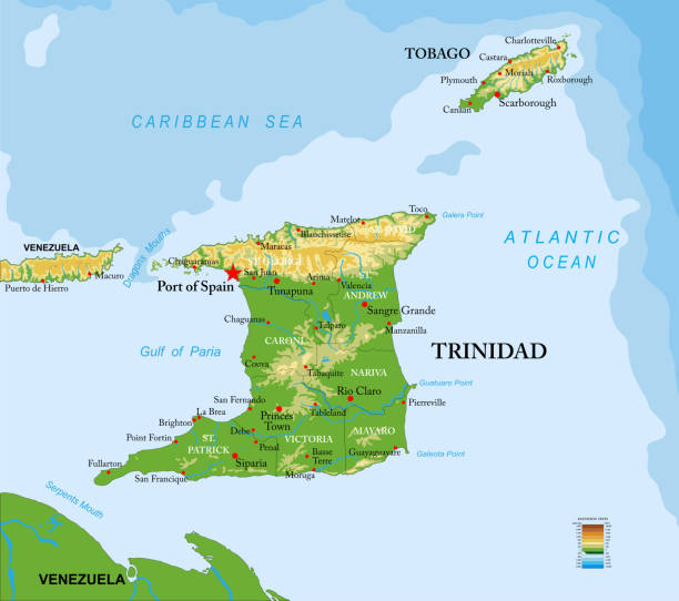
Highly detailed physical map of Trinidad and Tobago islands,in vector format,with all the relief forms,regions and big cities.
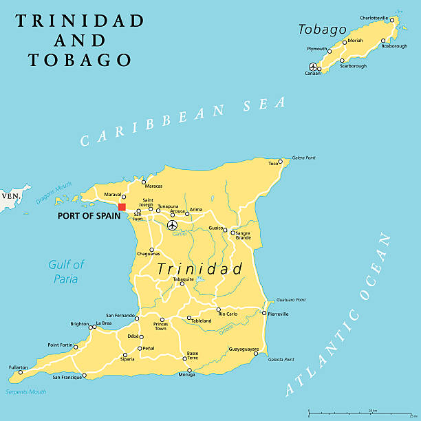
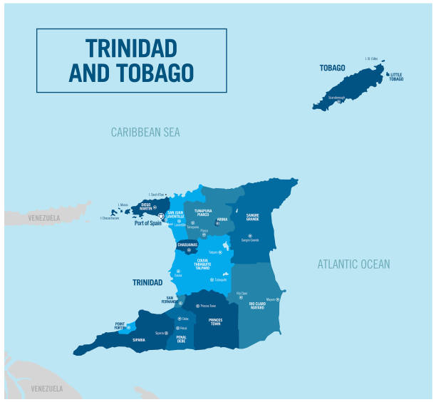
Trinidad and Tobago political map with capital Port of Spain. Twin island country in the Windward Islands and Lesser Antilles. English labeling and scaling. Illustration.

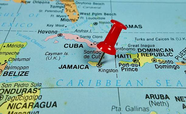
Pushpin marking on Jamaica map
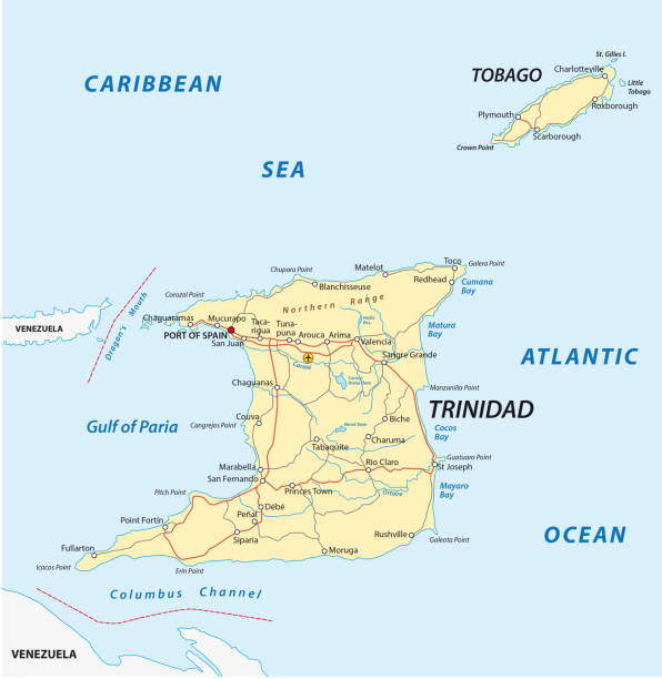
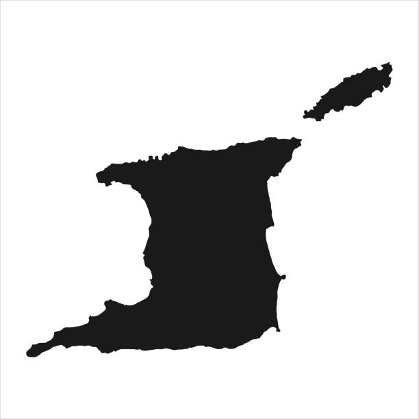
trinidad and tobago road vector map

trinidad and tobago map vector. illustration country isolated background eps 10

Hurricane free Caribbean islands, political map. The Leeward Antilles and Windward Islands are safest from Hurricanes. Aruba, Barbados, Bonaire, Curacao, Grenada, The Grenadines, Trinidad and Tobago.
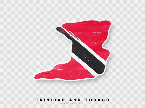
Trinidad and Tobago - Flag inscribed in the contour of the country. Vector illustration.


Political map of Venezuela with capital Caracas, with national borders, most important cities, rivers and lakes. Illustration with English labeling and scaling.

Eastern Caribbean islands, political map. Puerto Rico, Virgin Islands, Leeward and Windward Islands, and part of the Leeward Antilles north the coast of Venezuela, all located in the Caribbean Sea.

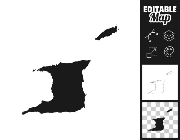
Map of Trinidad and Tobago for your own design. Three maps with editable stroke included in the bundle: - One black map on a white background. - One line map with only a thin black outline in a line art style (you can adjust the stroke weight as you want). - One map on a blank transparent background (for change background or texture). The layers are named to facilitate your customization. Vector Illustration (EPS file, well layered and grouped). Easy to edit, manipulate, resize or colorize. Vector and Jpeg file of different sizes.
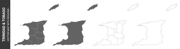
set of 4 political maps of Trinidad & Tobago with regions isolated on white background - vector design element
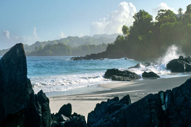
A mesmerizing view of a beautiful seascape in Caribbean Island Tobago, Trinidad

Vector Trinidad and Tobago https://maps.lib.utexas.edu/maps/americas/trinidad_tobago_pol76.jpg


Eastern Caribbean islands, gray political map. Puerto Rico, Virgin Islands, Leeward and Windward Islands, and part of the Leeward Antilles north the coast of Venezuela, located in the Caribbean Sea.
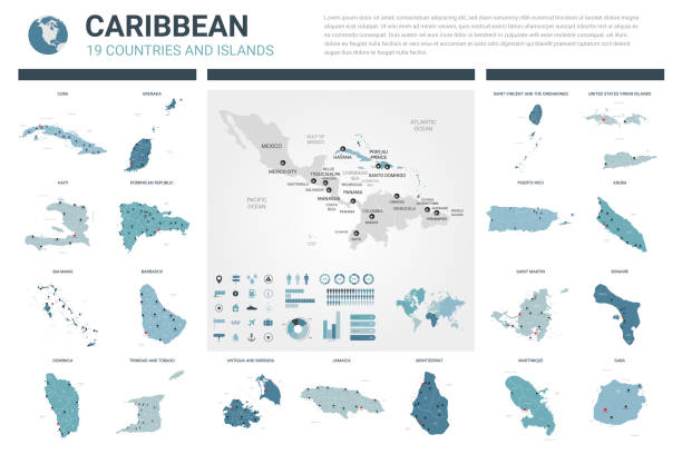
Political map of Caribbean - Large And Lesser Antilles - with capitals, national borders, most important cities, rivers and lakes. Vector illustration with English labeling and scaling.
Trinidad and Tobago detailed map with flag of country. Painted in watercolor paint colors in the national flag.


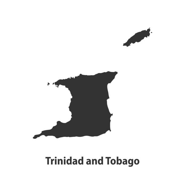
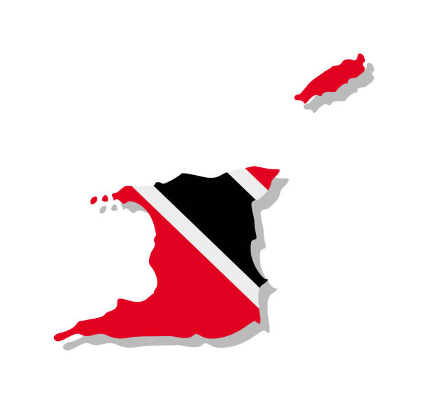
Vector isolated simplified illustration icon with silhouette of Trinidad and Tobago map. National flag (red, black, white colors). White background

Trinidad and Tobago map vector template with polygon mesh line blue color on white background for education, website, banner, infographic. Vector illustration EPS10


Flag of Trinidad and Tobago. Vector illustration. World flag


Map Icon of the world in Globe form


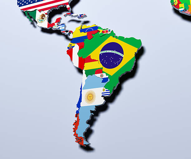
Highly detailed map Central America and the Caribbean.Each country can be selected individual.

Trinidad and Tobago Topographic Map 3d realistic map Color 3d illustration Source Map Data: tangrams.github.io/heightmapper/, Software Cinema 4d

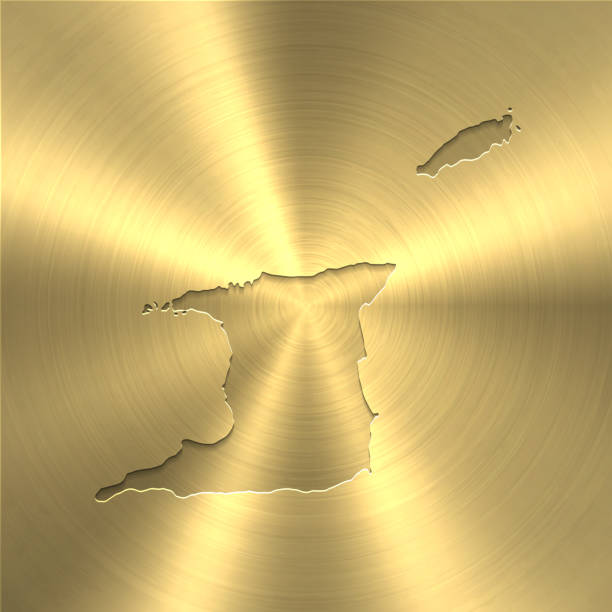
Map of Trinidad and Tobago on a golden background with an embossing effect. Realistic circular brushed metal similar to a gold medal or coin. Vector Illustration (EPS10, well layered and grouped). Easy to edit, manipulate, resize or colorize. Vector and Jpeg file of different sizes.

3D map of Trinidad and Tobago isolated on a blank blueprint, with a dropshadow (color used: blue and white). Vector Illustration (EPS10, well layered and grouped). Easy to edit, manipulate, resize or colorize.

Highly detailed Trinidad and Tobago map with borders isolated on background. Flat style
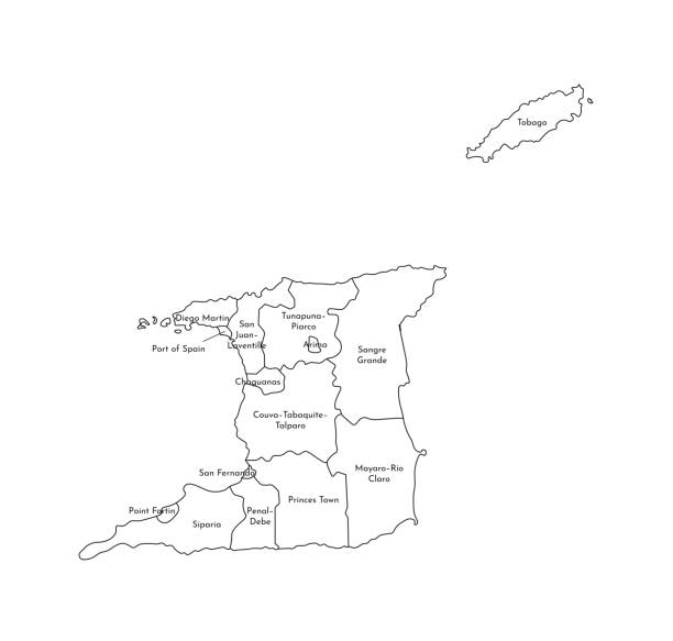
Vector isolated illustration of simplified administrative map of Trinidad and Tobago. Borders and names of the regions. Black line silhouettes.

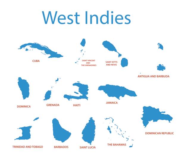
Windward Islands political map. Islands of the Lesser Antilles, south of the Leeward Islands in the Caribbean Sea. From Dominica, Martinique, Saint Lucia, Saint Vincent and the Grenadines, to Grenada.

A Trinidad and Tobago flag map on white background with clipping path 3d illustration

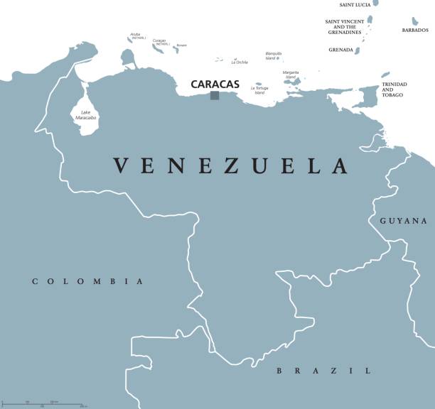
Venezuela political map with capital Caracas and national borders. Bolivarian and federal republic, a country on northern coast of South America. Gray illustration over white. English labeling. Vector
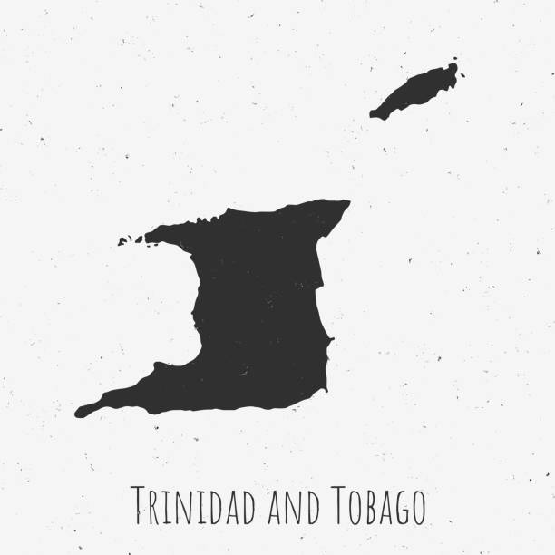
Black and white Trinidad and Tobago map in trendy vintage style, isolated on a dusty white background. A grunge texture is used to have a retro and worn effect. His name is written on the bottom of the image. Vector Illustration (EPS10, well layered and grouped). Easy to edit, manipulate, resize or colorize.


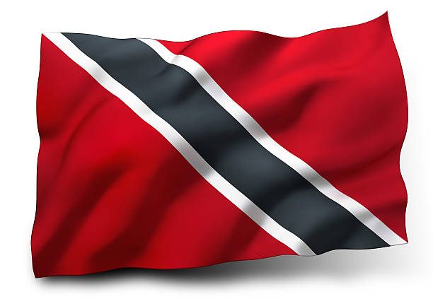
Waving flag of Trinidad and Tobago isolated on white background

Map of Trinidad and Tobago sketched and isolated on a white background. The map is purple with a black outline. Pink and blue are overlapped to create a modern visual effect, looking like anaglyph image. The combination of pink and blue in this illustration creates a predominantly purple map. Vector Illustration (EPS file, well layered and grouped). Easy to edit, manipulate, resize or colorize. Vector and Jpeg file of different sizes.

Map of Trinidad and Tobago with the flag of Trinidad and Tobago in the contour of the map on a trip abstract backdrop. Travel illustration.

Map of Trinidad and Tobago for your own design. With space for your text and your background. Four maps included in the bundle: - One black map. - One blank map with only a thin black outline (in a line art style). - One mosaic map. - One white map with a thin black outline. The 4 maps are isolated on a blank background (for easy change background or texture).The layers are named to facilitate your customization. Vector Illustration (EPS10, well layered and grouped). Easy to edit, manipulate, resize or colorize.
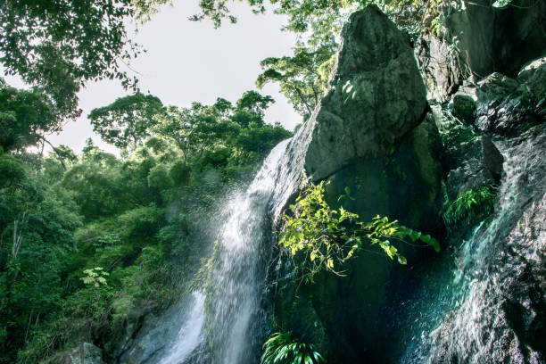
A mesmerizing view of a beautiful waterfall in Caribbean Island Tobago, Trinidad

Colorful Trinidad and Tobago Map Infographic Template, can be used for business designs, presentation designs or any suitable designs.

Highly detailed Trinidad and Tobago map with borders isolated on background. Flat style
Next