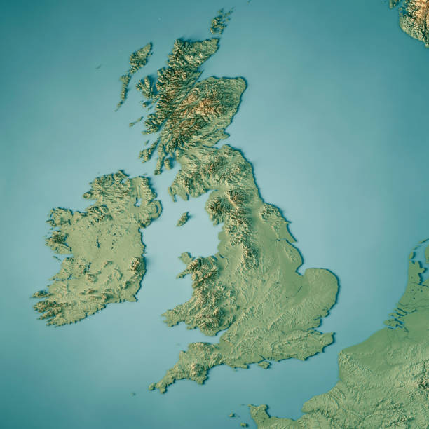
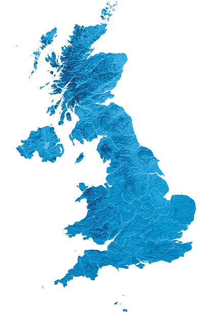
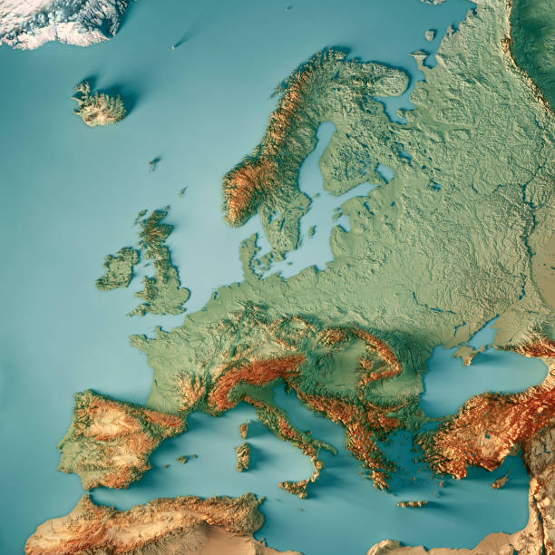
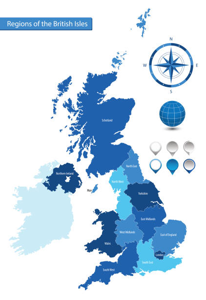
3D Render of a Topographic Map of the United Kingdom. All source data is in the public domain. Color texture: Made with Natural Earth. http://www.naturalearthdata.com/downloads/10m-raster-data/10m-cross-blend-hypso/ Relief texture and Rivers: SRTM data courtesy of USGS. URL of source image: https://e4ftl01.cr.usgs.gov//MODV6_Dal_D/SRTM/SRTMGL1.003/2000.02.11/ Water texture: SRTM Water Body SWDB: https://dds.cr.usgs.gov/srtm/version2_1/SWBD/


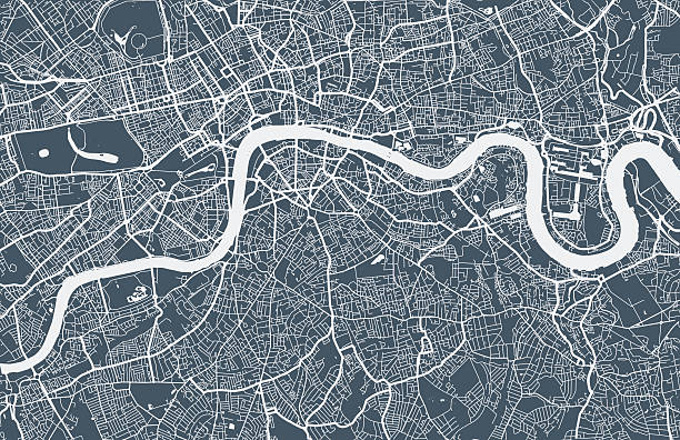


![Birds eye view A top down view of a slice of countryside, with roads, rivers, streams, houses , fields, school and woodland, all with lots of detail. 10 layers help editing.
Please view my vector landscapes lightbox for similar files
[url]http://www.istockphoto.com/file_search.php?action=file&lightboxID=3390977[/url]
uk topography stock illustrations](https://media.istockphoto.com/id/472287987/vector/birds-eye-view.jpg?s=612x612&w=0&k=20&c=8trgbkPhr7qLnxvjxLLKmcc3ozRVhG-zXZ0UOuUZ5Ds=)