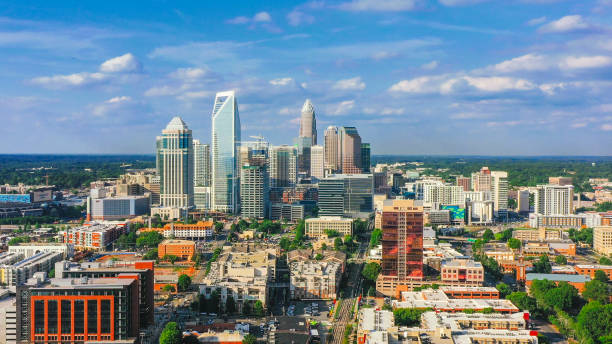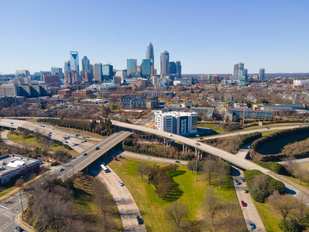
Drone Aerial of Downtown Charlotte, North Carolina, NC, USA Skyline.
Browse 2,400+ uptown charlotte nc stock photos and images available, or start a new search to explore more stock photos and images.
Drone Aerial of Downtown Charlotte, North Carolina, NC, USA Skyline.

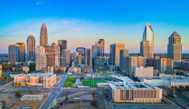
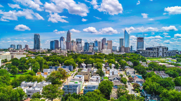
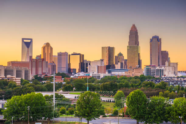
Charlotte, North Carolina, USA uptown skyline and park.
Drone Aerial of Downtown Charlotte, North Carolina, NC, USA Skyline.

Charlotte, North Carolina, USA uptown cityscape at dusk.

A distant view of a skyline during sunset in Charlotte, North Carolina, United States

Charlotte, North Carolina, USA uptown skyline at twilight.
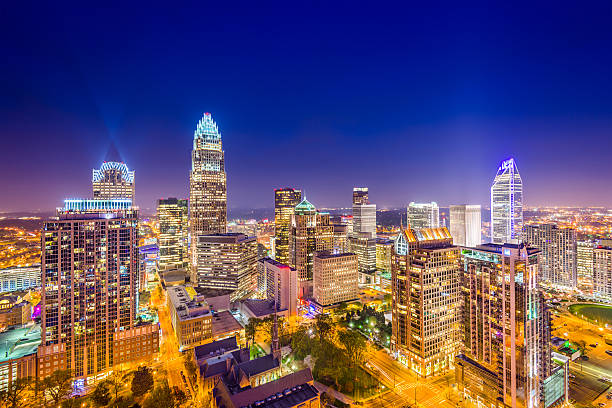
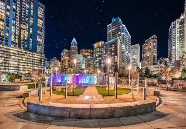
Charlotte, North Carolina, USA uptown skyline at night.

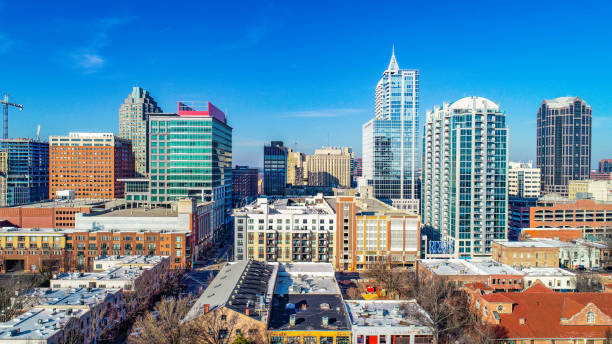
Thirty Three of United States biggest cities skylines.

The Skyline of Charlotte is reflecting on the Water in Marshall Park

Beautiful fall leaves accent the Charlotte skyline on a cool November day.
Charlotte, North Carolina, USA uptown skyline and park.

A foggy and colorful sunrise in Charlotte, North Carolina during the morning rush hour traffic.

Downtown Charlotte skyscrapers in the background with a park (Marshall Park), fountain and waterway in the foreground. Picture taken in Autumn.

Aerial shot of the Fourth Ward of Uptown Charlotte, North Carolina on a sunny afternoon in Fall, looking straight down on Church Street. Authorization was obtained from the FAA for this operation in restricted airspace.

Charlotte, NC just before sunset in the fall.

Drone shot of Charlotte, North Carolina on a Fall afternoon, flying over autumnal trees and apartment buildings in the Third Ward and looking towards the Uptown skyline. Authorization was obtained from the FAA for this operation in restricted airspace.

Where the two important Charlotte Highways meet on a weekday morning traffic

Charlotte, North Carolina, USA uptown skyline at dusk.
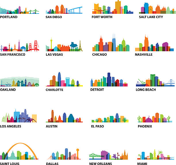
Series of US Cityscape with building overlays and landmarks

Charlotte, North Carolina, USA uptown skyline at twilight.

Charlotte, North Carolina, USA uptown park and skyline.

A beautiful picture of Charlotte’s airport after the sun had set.
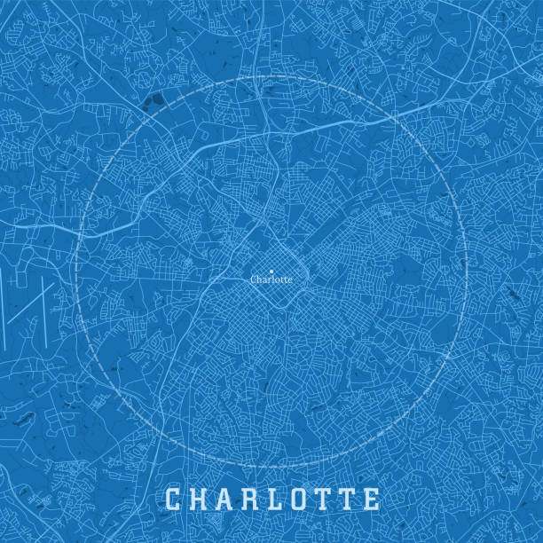
Charlotte NC City Vector Road Map Blue Text. All source data is in the public domain. U.S. Census Bureau Census Tiger. Used Layers: areawater, linearwater, roads.
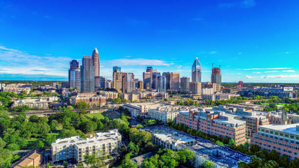
Downtown Charlotte, North Carolina, USA Skyline Drone Aerial

Cityscape view of Charlotte North Carolina in Mecklenburg County, USA

Drone shot of Charlotte, North Carolina at nightfall, with the illuminated Uptown skyline silhouetted against a colorful sky. Authorization was obtained from the FAA for this operation in restricted airspace.

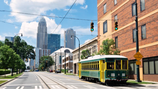
A Rapid Transit vehicle in Charlotte, United States. It operates bus and rail service around the Charlotte metropolitan area.

Colorful directions signs in Charlotte The Green city center park at sunny day

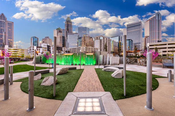
Plaza located in the center of Uptown Charlotte, North Carolina

A hand drawn sketch of the Charlotte skyline on purple background with text below

Cityscape view of Charlotte North Carolina in Mecklenburg County, USA

Charlotte, North Carolina, USA uptown city skyline.

Charlotte, North Carolina, USA uptown skyline from above at dusk.

Photo of the Irwin Creek Greenway with blooming trees.

Charlotte, North Carolina, USA uptown skyline and park.

Charlotte skyline at sunset / dusk with a beautiful cloudscape in the background and a highway interchange with light trails in the foreground.

Day time view of the skyline of Charlotte (North Carolina).

This is a photo of a Destination post in Charlotte, NC.

Charlotte City skyline black and white silhouette. Simple flat concept for tourism presentation, banner, placard or web site. Cityscape with landmarks.
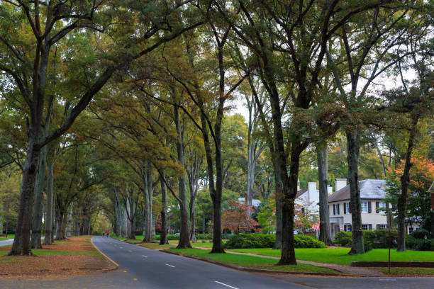
Queens Road West in Myers Park in the fall with tall Willow Oaks

Downtown Charlotte, NC, USA against the stormy sky in the evening, from the Interstate 77 with the traffic on it.
Charlotte, North Carolina, USA uptown skyline at dusk.
Rush hour during the blue hour in Charlotte, North Carolina overlooking the skyline.