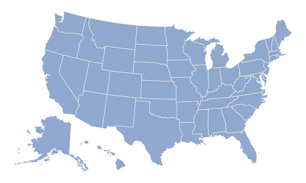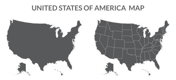
United States Of America map with state divisions an a transparent base. Includes Alaska and Hawaii. Flat color for easy editing. File was created in CMYK
Browse 59,200+ us east coast map stock photos and images available, or search for united states map to find more great stock photos and pictures.
United States Of America map with state divisions an a transparent base. Includes Alaska and Hawaii. Flat color for easy editing. File was created in CMYK

East or Atlantic Coast of the United States, political map. Eastern Seaboard states with coastline on Atlantic Ocean highlighted in yellow and States considered part of the East Coast in light yellow.

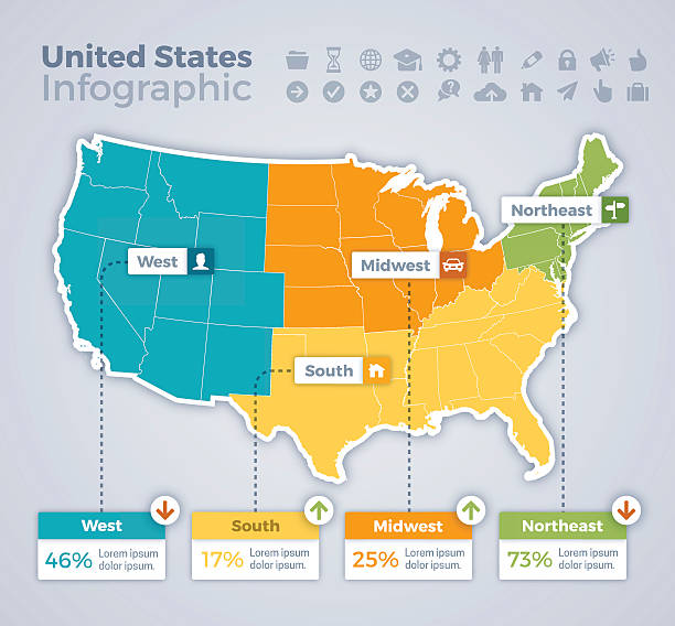
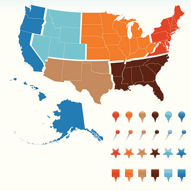
Map of United States split into Census regions and divisions. Region definition, widely used for data collection and analysis. Most commonly used classification system. English. Illustration. Vector
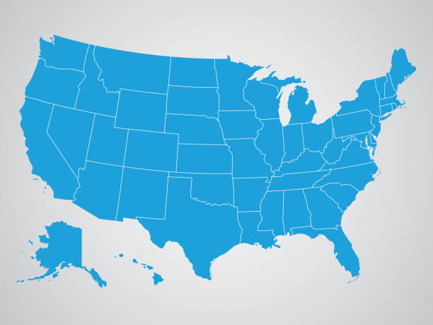
Blank similar USA map isolated on white background. United States of America country. Vector template for website, design, cover, infographics. Graph illustration.
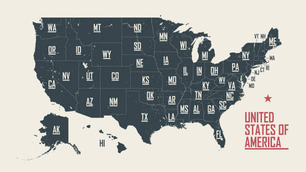
Poster map of United States of America with state names. Black and white print map of USA for t-shirt, poster or geographic themes. Hand-drawn black map with states. Vector Illustration
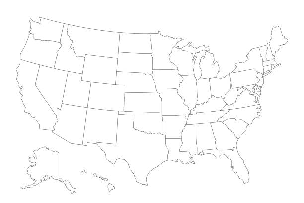
Vector of highly detailed map of the United States of America with all states outlined - also a seperate outline of the country on a different layer.

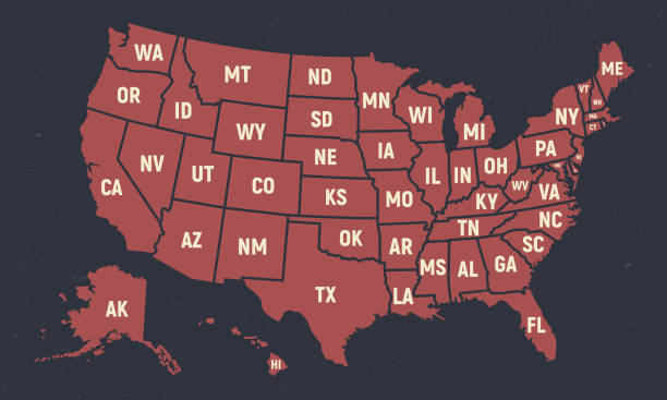
Poster map of United States of America with state names. Print map of USA for t-shirt, poster or geographic themes. Hand-drawn colorful map with states. Vector Illustration
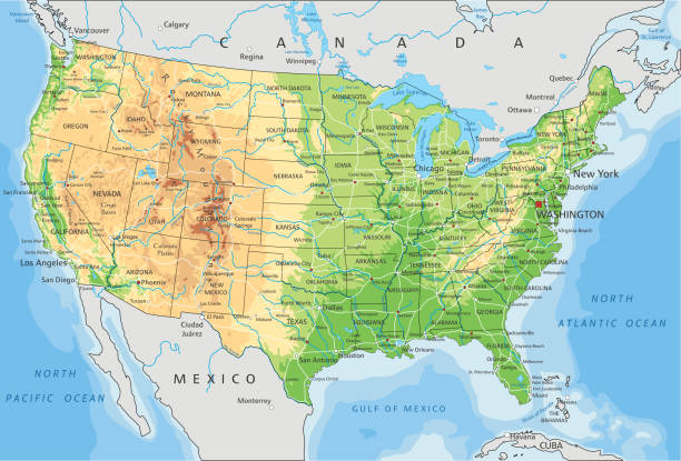
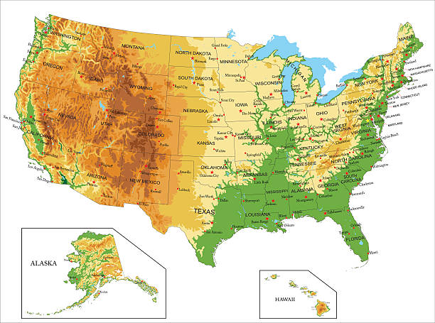
High detailed United States of America physical map with labeling. Organized vector illustration on seprated layers.
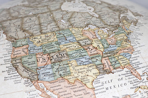
A close-up/macro photograph of the United States of America from a desktop globe. Adobe RGB color profile.
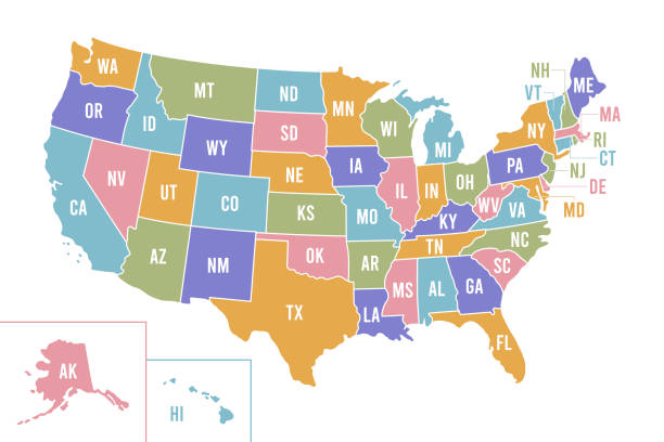
USA map with abbreviated state names. United States of America cartography with colored states. Vector illustration.

New England region of the United States of America, gray political map. The six states Maine, Vermont, New Hampshire, Massachusetts, Rhode Island and Connecticut with capitals. Illustration. Vector.

illustration of highly detailed U.S.A map with all state for your design , products and print.
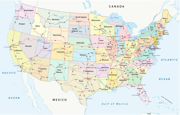
us interstate highway, administrative and political vectormap
Map of USA for your own design. Three maps with editable stroke included in the bundle: - One black map on a white background. - One line map with only a thin black outline in a line art style (you can adjust the stroke weight as you want). - One map on a blank transparent background (for change background or texture). The layers are named to facilitate your customization. Vector Illustration (EPS file, well layered and grouped). Easy to edit, manipulate, resize or colorize. Vector and Jpeg file of different sizes.
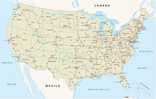
Road vector map of the united states of america
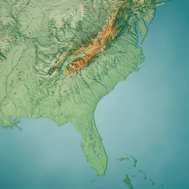
3D Render of a Topographic Map of the South Atlantic US States. All source data is in the public domain. Color texture: Made with Natural Earth. http://www.naturalearthdata.com/downloads/10m-raster-data/10m-cross-blend-hypso/ Relief texture: GMTED2010 data courtesy of USGS. URL of source image: https://topotools.cr.usgs.gov/gmted_viewer/viewer.htm Water texture: World Water Body Limits: Humanitarian Information Unit HIU, U.S. Department of State http://geonode.state.gov/layers/geonode%3AWorld_water_body_limits_polygons Boundaries: Humanitarian Information Unit HIU, U.S. Department of State (database: LSIB) http://geonode.state.gov/layers/geonode%3ALSIB_10
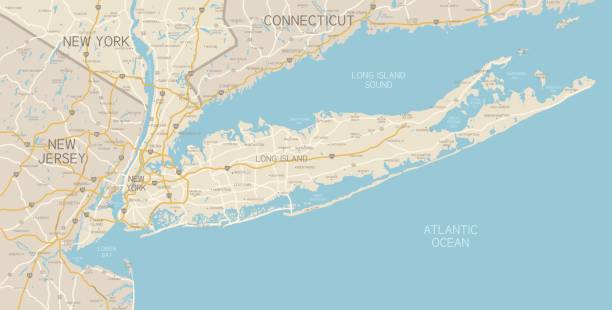
A map of the region around New York City and Long Island, including New Jersey and the coast of Connecticut. Includes major highways, cities, and lakes. Elements are grouped and separate for easy changes and removal. Includes an extra-large JPG so you can crop in to the area you need.
United States infographic map concept with space for your copy. EPS 10 file. Transparency effects used on highlight elements.

Representation of United States divided into states and regions. Infographic.

USA map with geographical state borders and state abbreviations. United States of America map. Colorful US map design with state abbreviations. Vector
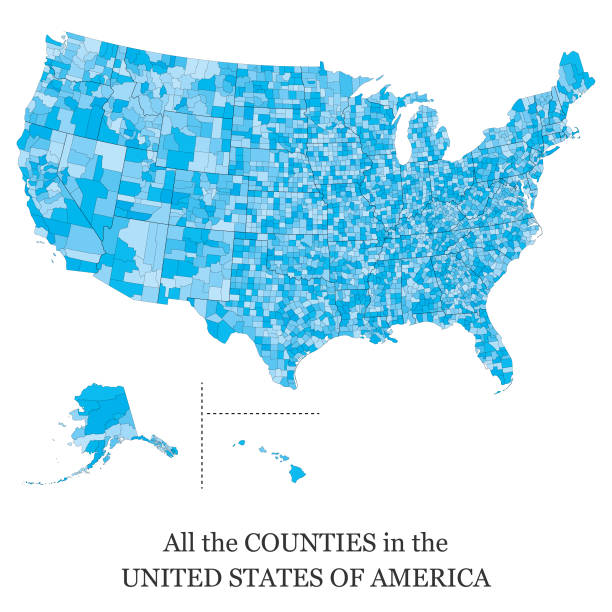
Vector illustration of a map of all the counties in the United States of America

Vector map regions of the united states
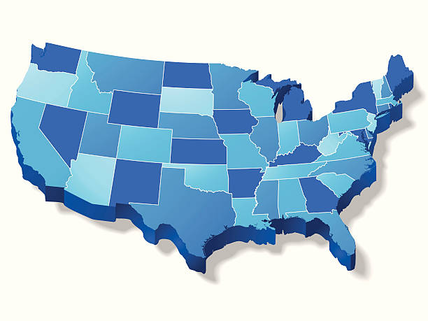
ZOOM IN...This is a great 3D map of the USA with border lines between each state (which can be easily removed). This file is layered and grouped for easy editing. This download contains an editable EPS file, as well as a large JPG file, and an ai v10 file (zip file). The map was traced manually using the pen tool for maximum detail.
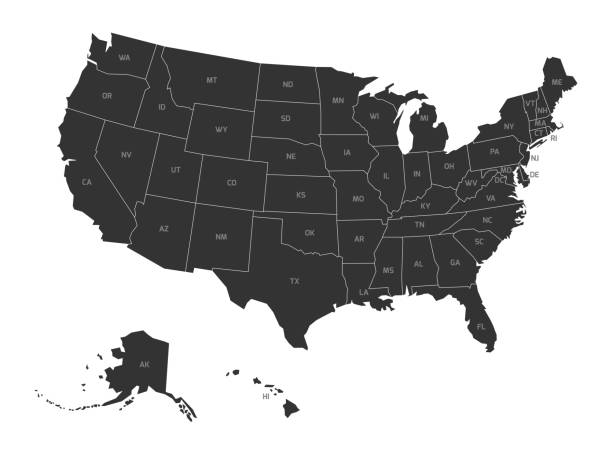
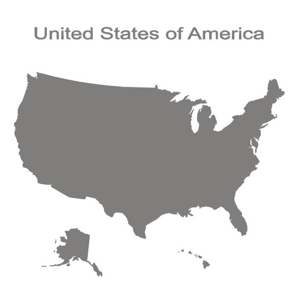
Map of United States of America with state codes. Simplified dark grey silhouette vector map on white background.

A dictionary map of the Southeast US. The photo was taken out of a one hundred + year old dictionary.

yellow outline map of USA, stylized concept
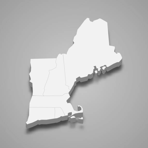
3d isometric map New England Region of United States, isolated with shadow
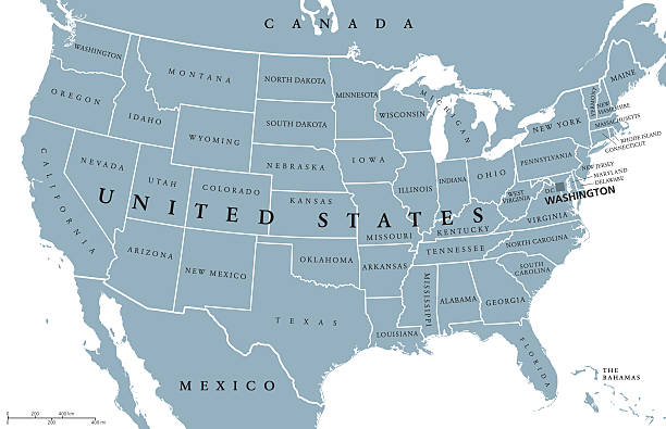
USA United States of America political map with capital Washington, single states, neighbor countries and borders, except Hawaii and Alaska. Gray colored illustration with English labeling and scaling.
Highly detailed physical map of United States of
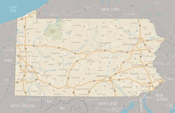
A detailed map of Pennsylvania state with cities, roads, major rivers, and lakes. Includes neighboring states and surrounding water.
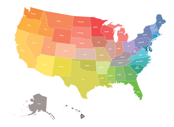
Map of USA, United States of America, in colors of rainbow spectrum. With state names.
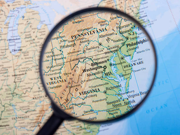
Magnifier centred on the East Coast.

North America at night viewed from space with city lights showing human activity in United States (USA), Canada and Mexico, New York, California, 3d rendering of planet Earth, elements from NASA (https://eoimages.gsfc.nasa.gov/images/imagerecords/57000/57752/land_shallow_topo_2048.jpg)
Highly detailed map of United States with roads, states, big cities, rivers and some other objects
monochrome set with map of united states of america for your design
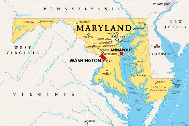
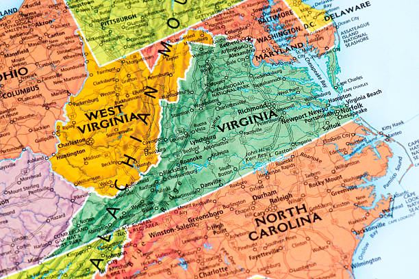
Maryland, MD, political map. State in the Mid-Atlantic region of the United States of America. Capital Annapolis. Old Line State. Free State. Little America. America in Miniature. Illustration. Vector

USA map vector illustration art

Vintage map of NE America, printed in England in 1795.
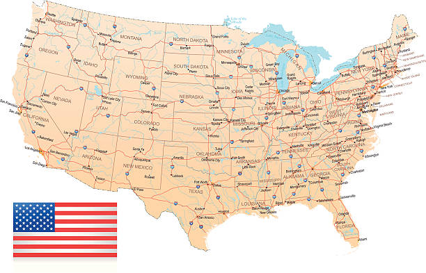
High detailed vector map of USA with borders, states and cities. Illustration contains USA national flag and navigational icons
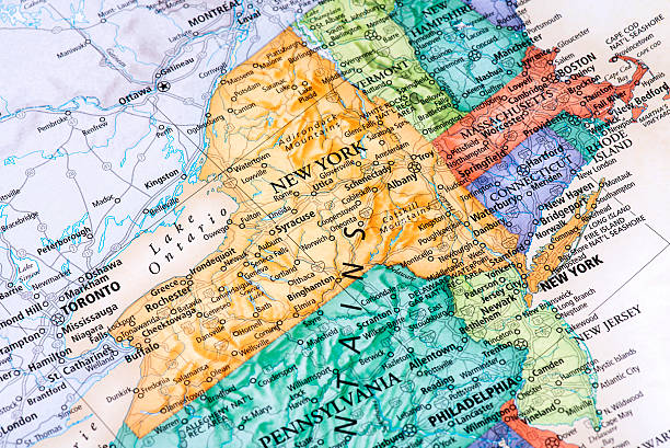
Map of New York, New Jersey, Massachusetts with Connecticut States in USA. Detail from the World Map.
USA region map. Each part of the USA separated into it's own region. Includes outlines of every US state in it's own layer.
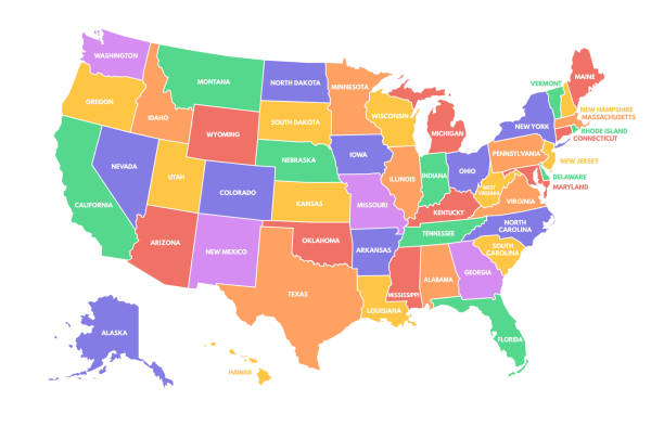
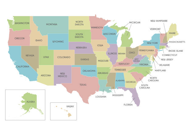
Colorful USA map. United States of America regions with different colors and names for travel and geography vector illustration infographic design. US land territory banner for education