Images
Browse 1,100+ western australia map stock photos and images available, or search for western australia map vector or western australia map with icons to find more great stock photos and pictures.
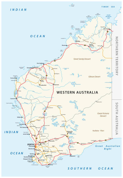
Road vector map of the Western Australian state


"A map of western Australia from 1920, with a magnifying glass resting on it."

"3D render and image composing: Topographic Map of Western Australia, Australia. Including state borders, rivers and accurate longitude/latitude lines. Very high resolution available! High quality relief structure!Relief texture and satellite images courtesy of NASA. Further data source courtesy of CIA World Data Bank II database.Related images:"
Our creative library is free of AI-generated contentChoose your visuals with confidence knowing our creative library is free from AI-generated content, so your searches only return safe, high-quality visuals you can trust.


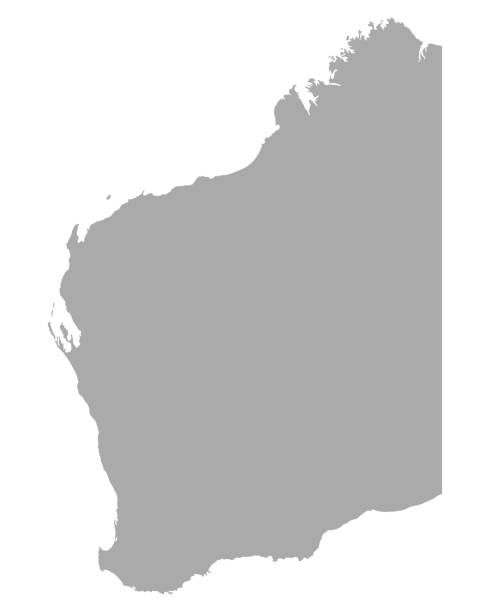
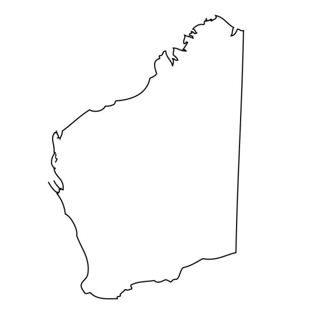
Map of Western Australia sketched and isolated on a blank background. The map is gray with a black outline. Vector Illustration (EPS file, well layered and grouped). Easy to edit, manipulate, resize or colorize. Vector and Jpeg file of different sizes.
Vector isolated illustration of simplified administrative map of Australia. Borders of the regions including only nearest territories. Colorful blue khaki silhouettes.
minimal editable stroke australia map icon. flat trend change line thickness graphic lineart design art isolated on white. concept of australian coastline label and world trip nation tourism

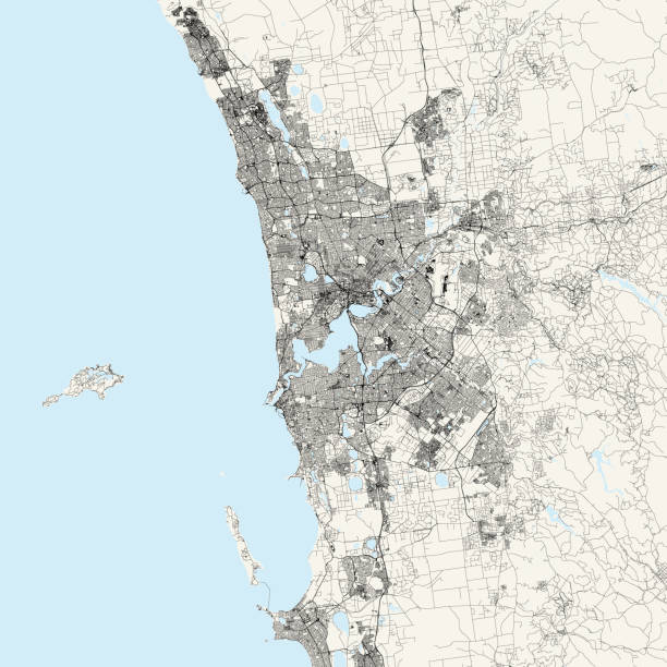
Topographic / Road map of Perth, Australia. Original map data is open data via © OpenStreetMap contributors. All maps are layered and easy to edit. Roads are editable stroke.
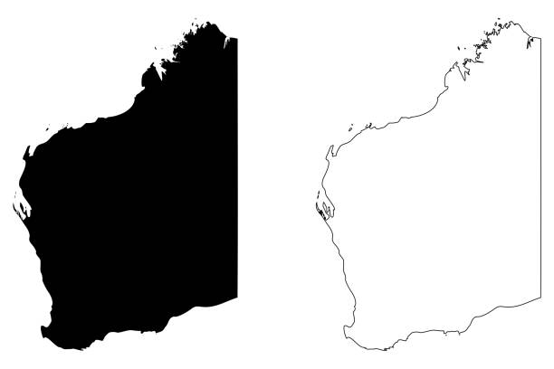
Vector illustration of two blue Western Australia icons.
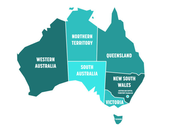
Simplified map of Australia divided into states and territories. Turquoise blue flat map with white borders and white labels. Vector illustration.

Map of Western Australia for your own design. Three maps with editable stroke included in the bundle: - One black map on a white background. - One line map with only a thin black outline in a line art style (you can adjust the stroke weight as you want). - One map on a blank transparent background (for change background or texture). The layers are named to facilitate your customization. Vector Illustration (EPS file, well layered and grouped). Easy to edit, manipulate, resize or colorize. Vector and Jpeg file of different sizes.
Vector map of Australia with separated territories. Colorful sketch illustration

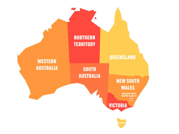
Simplified map of Australia divided into states and territories. Orange flat map with white labels. Vector illustration.

3D render of a topographic map of Western Australia. All source data is in the public domain. SRTM data courtesy of the U.S. Geological Survey.

Map of Western Australia cut out on a blank white paper with a blue background. Modern and trendy paper cutout effect. Vector Illustration (EPS file, well layered and grouped). Easy to edit, manipulate, resize or colorize. Vector and Jpeg file of different sizes.
Orange blank map of Australia. Vector illustration

Perth marked on map with red pushpin. Selective focus on the word Perth and the pushpin. Pin is in an angle and casts some shadow to the right. Midground is sharp while foreground and background is blurry.
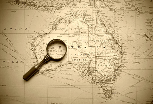
A map from 1920 of Australia and its neighbours. An old brass magnifying glass lies upon it.

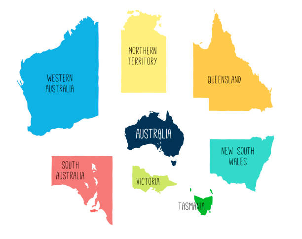
Vector maps of Australia with variable specification and icons

A close-up photograph of Australia from a common desktop globe. Adobe RGB color profile.
Map of Australia. Selective Focus.
Vector. Outline map of the country painted with black line

Map of Western Australia vector design template. Editable Stroke. Vector eps 10.

Grunge map of Western Australia (Australia) with its flag printed within its border on an old paper.

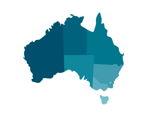
Simplified map of Australia divided into states and territories. Grey flat map with white borders and black labels.
Australia - Highly detailed editable political map with separated layers.


+++ Note to Inspector: URL of source images: http://earthobservatory.nasa.gov/Features/BlueMarble/BlueMarble_monthlies.php +++

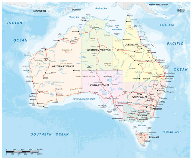
High Quality map of Western Australia is a state of Australia, with borders of the Local government areas

"3d render of Australia map with Western Australia highlighted, clipping path includedClick"

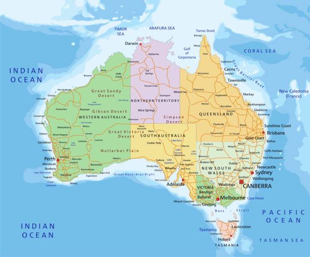
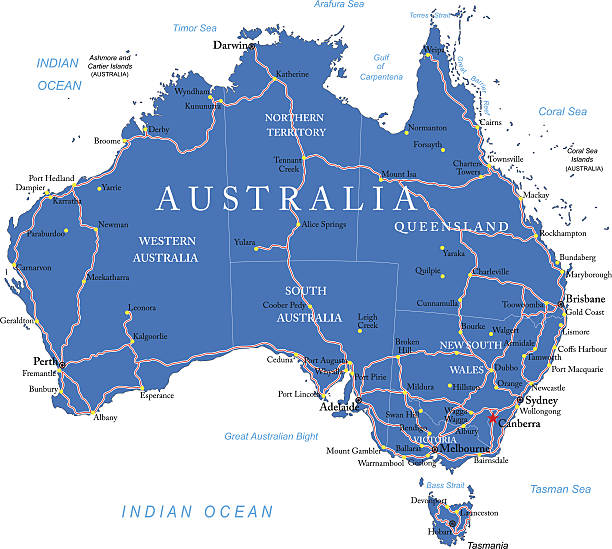
Country Political Geographical Map of Australia with States and Territories with Shadows

Map of Western Australia created with thin black lines diagonally and a slight shadow, isolated on a blank background. Vector Illustration (EPS10, well layered and grouped). Easy to edit, manipulate, resize or colorize. Vector and Jpeg file of different sizes.

This abstract dotted map of Australia is accurately prepared using the overlaid vector map of the Australia with highly detailed border

Aerial view of Fremantle in Western Australia
Western Australia (Australian states and territories, WA) map vector illustration, scribble sketch Western Australia map


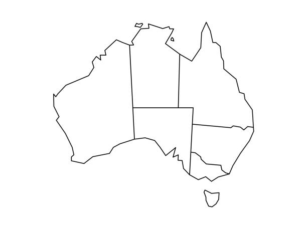
Blind map of Australia divided into states and territories. White flat map with black borders on white background.
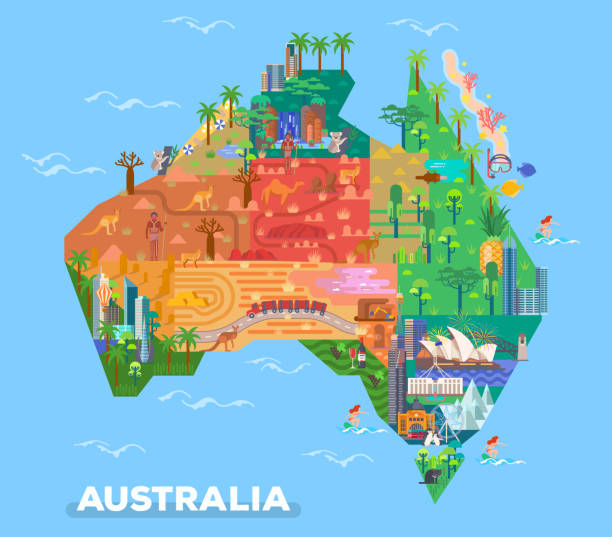
Map of Australia with landmarks of Broken Hills and Adelaide, Melbourne, Canberra. Natural and architecture sightseeing places. Uluru rocks and parliament house, Sydney opera and Victoria desert

Western Australia grey and silver vector triangle design perspective polygonal map

"Highly detailed vector map of Australia. File was created on October 11, 2012. The colors in the .eps-file are ready for print (CMYK). Included files: EPS (v8) and Hi-Res JPG (5600 x 5600 px)."


Greater Perth administrative and political vector map, Australia

Bunbury, Western Australia located on a map by a red push pin


Map of Australia - Vector illustration

simple vector outline administrative and political vector map of australia.

Hand painted water colour drawing on white background, cutout clip art elements for design.
of20Next