World map on a transparent base (can be added on top of any color background)
Browse 38,500+ world map borders no countries stock photos and images available, or start a new search to explore more stock photos and images.
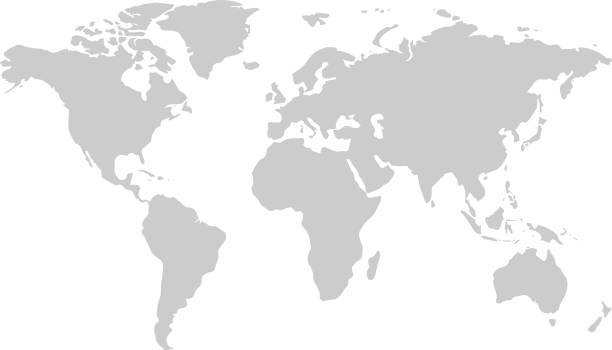
World map on a transparent base (can be added on top of any color background)
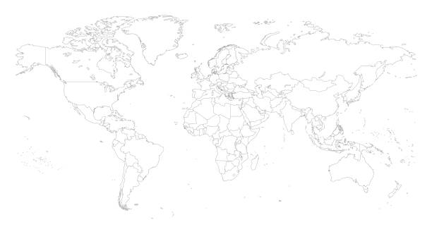
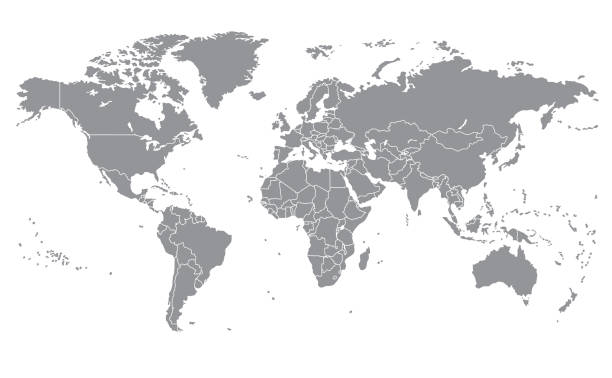
outline of the world map in gray color on a white backgrounds.vector illustration
Digital world map Terrain。The software to create:Photoshop CS5

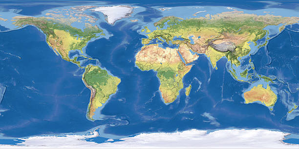
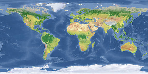
3D render and image composing: Topographic World Map on Miller Cylindrical Projection with Political Divisions (white lines showing all national borders). No longitude/latitude lines. Including lakes and rivers. Very high resolution available! High quality relief structure!
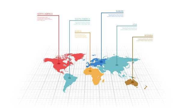
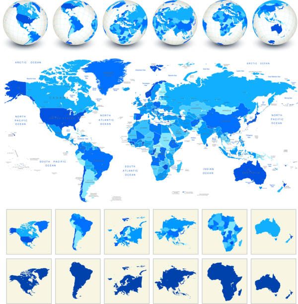
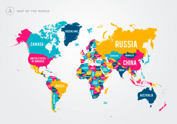
Vector illustration infographic of the World map with continents highlighted by different colors and labels
abstract hand drawn world map line art
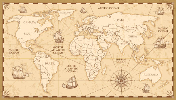
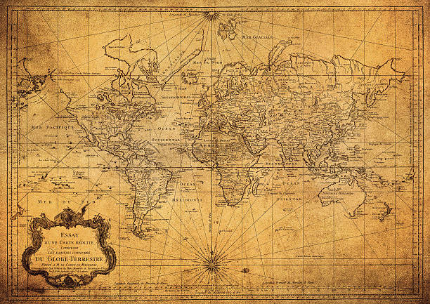
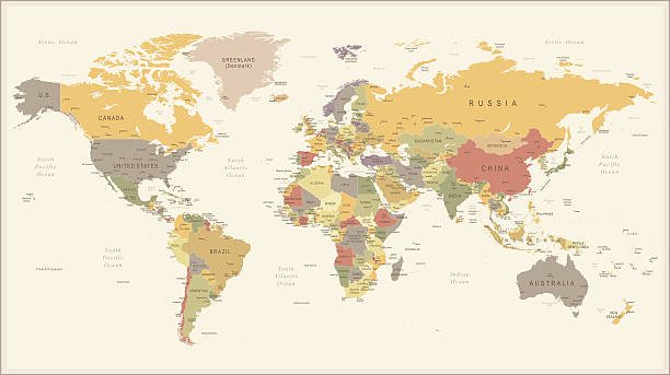
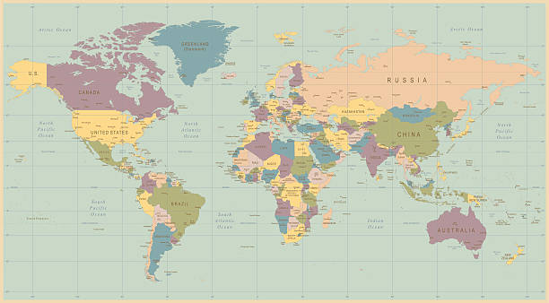
Vector antique world map with countries boundaries. Antique world vintage map, grunge america and europe illustration
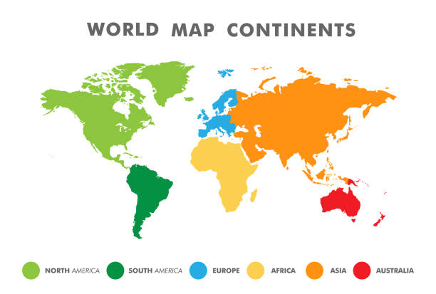
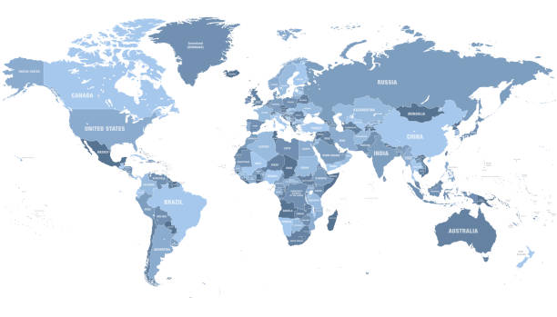
World map divided into six continents in different color. Colored map of the World with countries borders. Vector stock
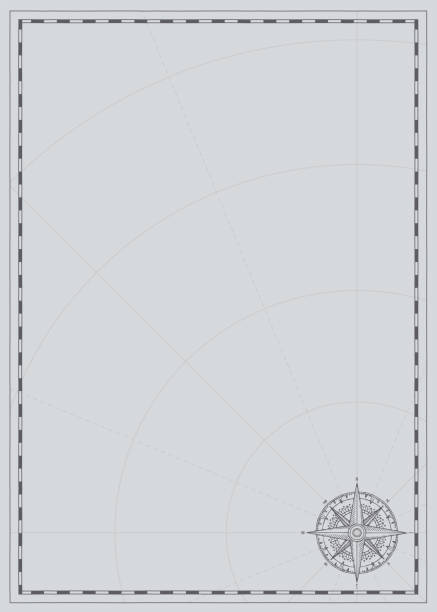
Vector background with wind rose compass sign and place for text. Vintage illustration on theme of travel, adventure and discovery on a grey backdrop with meridians and parallels. Pirate map concept.

3D Render of a Topographic Map of the World in Miller Projection with the Pacific Ocean in the center. Version with administrative country borders.All source data is in the public domain.Color and Water texture: Made with Natural Earth. http://www.naturalearthdata.com/downloads/10m-raster-data/10m-cross-blend-hypso/http://www.naturalearthdata.com/downloads/110m-physical-vectors/Relief texture: GMTED 2010 data courtesy of USGS. URL of source image: https://topotools.cr.usgs.gov/gmted_viewer/viewer.htm

Old world map with frame. Retro design banner. Decorative antique museum picture. Element for marine theme and heraldry. Vector paper texture.
"High quality surface map, natural colors, clouds cover.Clouds map comes from earthobservatory/nasa.The software to createA!Photoshop CS5"

World map vector, isolated on white background. Flat Earth, gray map template for web site pattern, anual report, inphographics.
Pirate adventures, treasure hunt and old transportation concept. Hand drawn vector illustration, vintage background
Vector illustration of a pixelated world map with highlighted areas.
Vector illustration of a pixelated world map with highlight areas
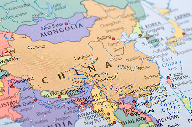
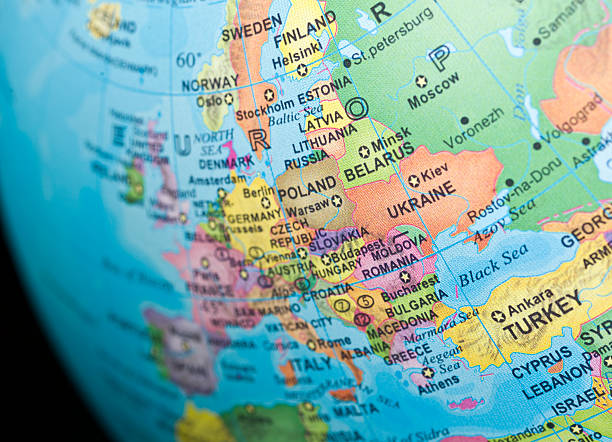
Focus on China the Map. Source: "World reference atlas"
Vector illustration in HD very easy to make edits.

Vector of the globe in water color brush style.

Blank world map with raised edges on a blue background
Vector illustration in HD very easy to make edits.

World Map With Separated Countries On A Transparent Base.

Beautiful cheerful colorful vector illustration for children and kids. With the inscription of the oceans and continents. Preschool, baby, continents, oceans, drawn, Earth

World map with satellite data connections. Connectivity across the world.
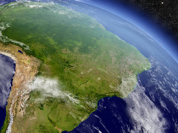
Brazil with surrounding region as seen from Earth's orbit in space. 3D illustration with highly detailed planet surface and clouds in the atmosphere. Elements of this image furnished by NASA..

World map detailed design of white color cut from paper.

travel photos over a wooden background with a world map on it

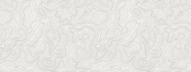
Mountain Topographic Landscape Map with Grid and Lines, Outline Terrain. Banner with geographic land relief. Wavy abstract contour background with cartography texture . Vector illustration

Vector fantasy map with baroque decorative frame and mythology creatures. Hand drawn graphic illustration, old transportation background in vintage style

3D Render of a Topographic Map of the World in Miller Projection with the Pacific Ocean in the center. Version with administrative country borders.All source data is in the public domain.Color and Water texture: Made with Natural Earth. http://www.naturalearthdata.com/downloads/10m-raster-data/10m-cross-blend-hypso/http://www.naturalearthdata.com/downloads/110m-physical-vectors/Relief texture: GMTED 2010 data courtesy of USGS. URL of source image: https://topotools.cr.usgs.gov/gmted_viewer/viewer.htm

Old Vintage Retro World Map - Vector illustration
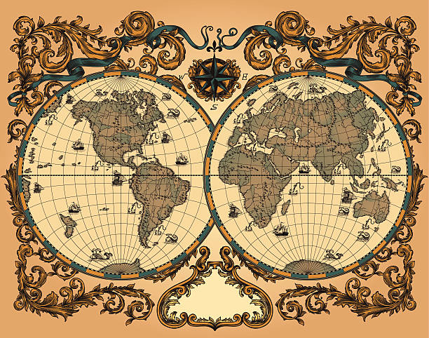
"Antique world map in vector, decorated with patterns and old nautical symbols."

Decorative antique background with nautical chart, adventure treasures hunt concept, watercolor hand drawn illustration

A world map made from spices used in kitchen
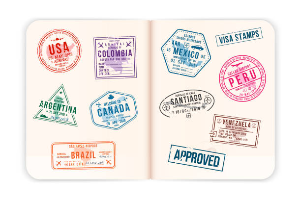
Realistic passport pages with visa stamps. Opened foreign passport with custom visa stamps. Travel concept to American countries. Vector

World map with graticules (grid and labels) in two variants:
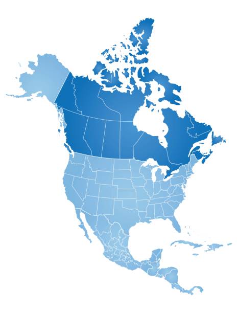
Map of North America with countries, states on white background

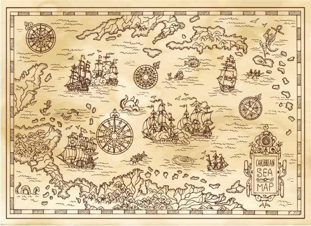
Antique world map. Vintage compass and retro ship on ancient marine map. Old countries boundaries earth geography antiques navigation cartography west coast and north america vector illustration

Vector illustration in HD very easy to make edits.

Cartoon Vintage Map with lost of elements. There are several varieties of fish and whales. Lots of small ornaments such as waves, seagulls and a hand drawn compass rose.
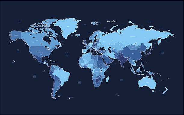
Detailed vector World map of blue colors on dark background. Names, town marks and national borders are in separate layers. Please see also: