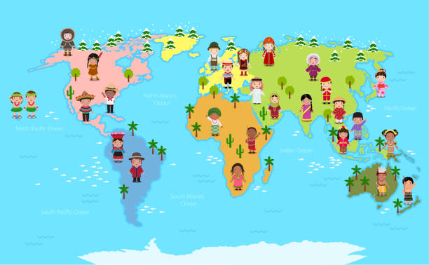
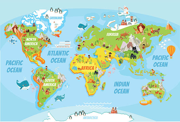
Funny cartoon world map with traditional animals of all the continents and oceans. Vector illustration for preschool education and kids design
Browse 10,000+ world map for kids stock photos and images available, or search for world map vector or world map flat to find more great stock photos and pictures.
Funny cartoon world map with traditional animals of all the continents and oceans. Vector illustration for preschool education and kids design

Group of children holding planet earth over defocused nature background with copy space. Element of this image furnished by NASA ( https://earthobservatory.nasa.gov/blogs/elegantfigures/2011/10/06/crafting-the-blue-marble/ )
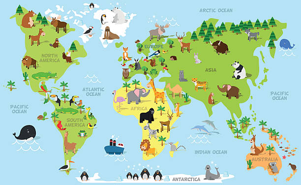
Cartoon world map with a lot of funny animals,sea creatures,various landscapes and peoples of various nationalities.Great for kids design,educational game,magnet or poster design.

Group of people around the world. Pencil drawing.
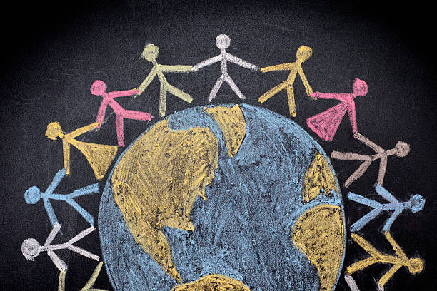
Group of people around the world. Chalk drawing.
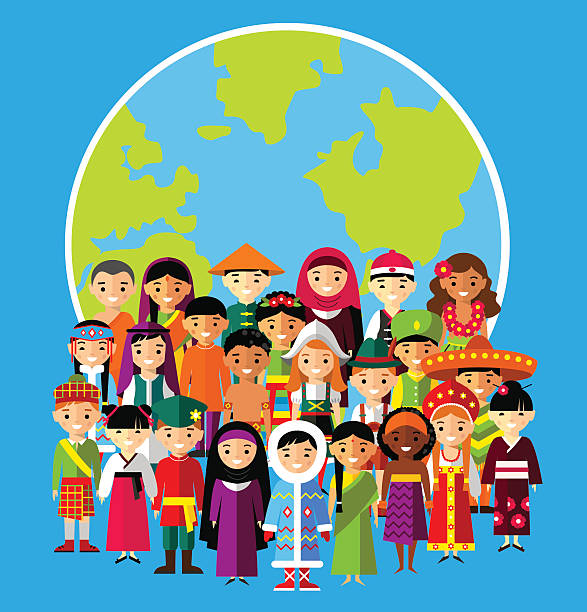
Vector illustration of multicultural national children, people on planet earth

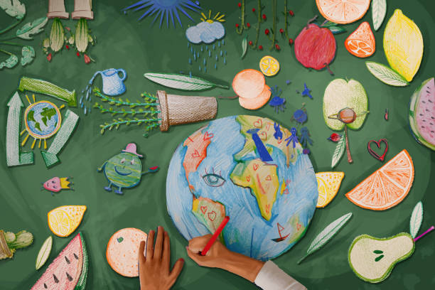
An aerial view of a multi ethnic group of children painting the globe and it's animals, fish, and vehicles. One girl paints a steam boat, while a boy colours in the ocean.
Children's hands drawing the planet earth

Animals world map. Beautiful cheerful colorful vector illustration for children and kids. With the inscription of the oceans and continents. Preschool, baby, continents, oceans, drawn, Earth

A child drawing with color pencils
Circle of happy children of different races working and playing together take care of Planet Earth.

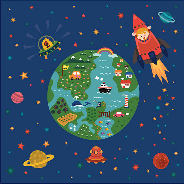
Creative Illustration and Innovative Art: A Fantastic WonderLand! Realistic Fantastic Cartoon Style Artwork Scene, Wallpaper, Story Background, Card Design
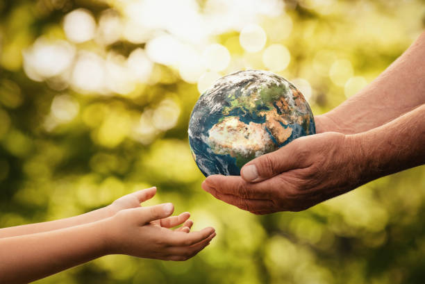
Close up of senior hands giving small planet earth to a child over defocused green background with copy space

Vector map of the world in cartoon style, continents and oceans.

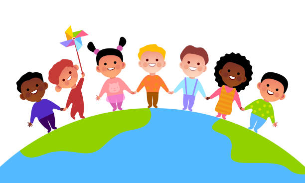
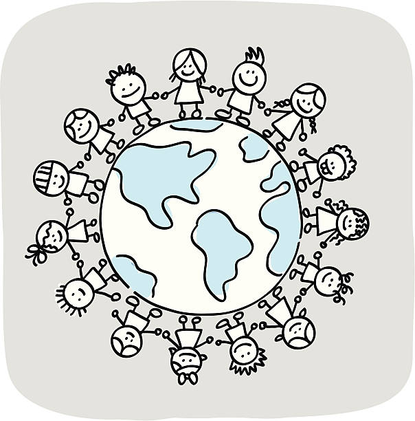
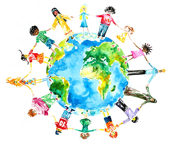
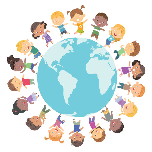
Kids from different nationality holding hands and standing around the earth, in colourful cartoon illustration
Children of different races hugging the planet Earth.Picture I have created myself with watercolors.

Vector illustration – Happy smiling multicultural kids around the world.

little girl touches a virtual world with multimedia connections.concept of future and communication with the digital world.

Vector illustration of 6 children drawing the world with chalk seen from above
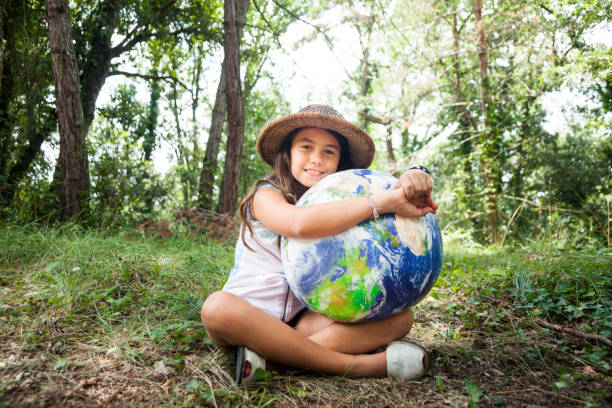
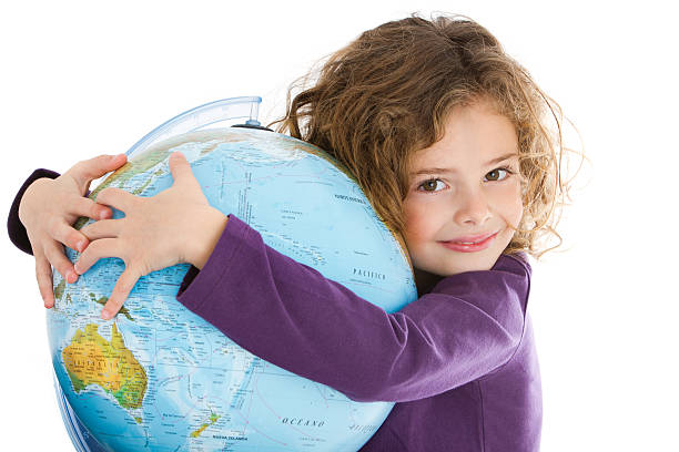
I love my planet: Young scout girl embracing world globe.

Planet earth and blue human eye - "Elements of this image furnished by NASA"
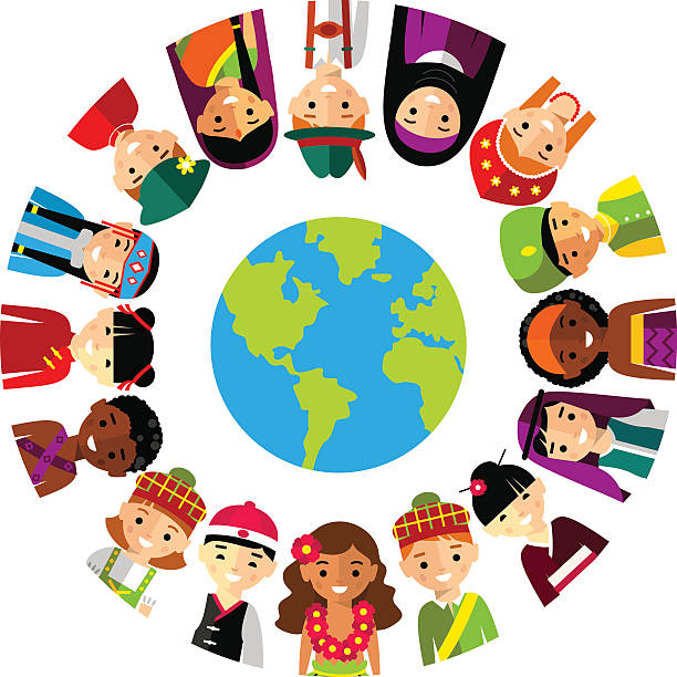
Set of international people in traditional costumes around the world

Old Man Giving Blue Earth In The Child Hands - elements of this image furnished by NASA - 3d Rendering elements of this image furnished by NASA 3d rendering, Europe Africa. Photorealistic globe with lots of details. (3D terrain and clouds, city lights, reflective oceans...) Source maps are courtesy of NASA Earth Observatory Blue Marble project, for geographical boundaries

Front view of a child hand holding a damaged toy globe, shallow depth of field

Vector children silhouettes in the circle I have used http://www.lib.utexas.edu/maps/world_maps/world_physical_2011_nov.pdf address as the reference to draw the basic map outlines with Adobe Illustrator CS5 software, other themes were created by myself. 11/11/2014

Multilingual communication. International friendship, world map multi ethnic children tags, kids say hello different languages and waving hands smiling happy boys and girls vector flat cartoon concept
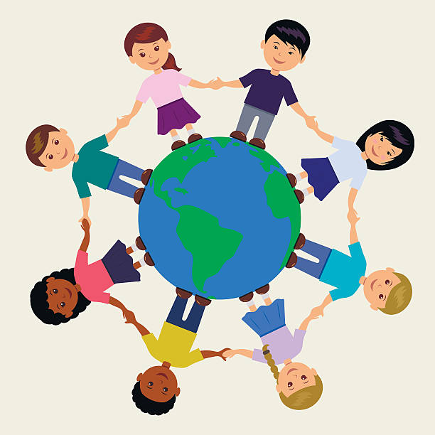
Vector illustration of kids around the Earth

Little preschool girl with earth globe painting with colorful chalks on ground. Positive toddler child. Happy earth day concept. Creation of children for saving world, environment and ecology

Vector kids drawing the Earth

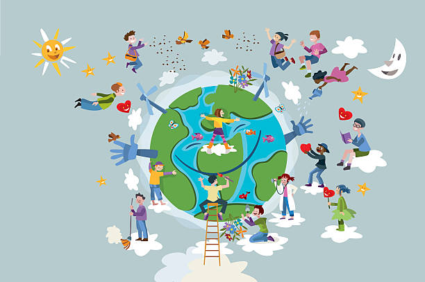
Little kids are protecting the world, in colourful cartoon style

Children world vector happy kids on planet earth in peace and worldwide earthly friendship illustration peaceful childish set of boys or girls together isolated on white background.
"Children love to explore our world and space. All items are well grouped, easy to use!"

Make the world a better place. Children in preschool.

Small group of children looking at world globe at kindergarten with their teacher. Focus is on little girl with ponytails.
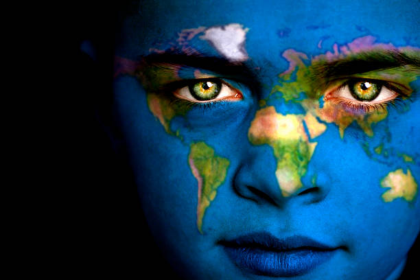
Portrait of a boy with the map of the world painted on his face.
World ecology globe planet. Save nature. Crayon, pencil, chalk stroke art. Green day. Home, tree, kid, animal around
Vector happy children frame I have used http://www.lib.utexas.edu/maps/world_maps/world_physical_2011_nov.pdf address as the reference to draw the basic map outlines with Adobe Illustrator CS5 software, other themes were created by myself. 11/11/2014

Multiracial diverce group of children, waving and greeting. Multicultural kids in line with banner sign, illustration for school or kindergarten design. Kids character cartoon vector isolated border clipart.
Beautiful 6 years-old little girl looking at camera and embracing the world

3d rendering, America - Usa. Photorealistic globe with lots of details. (3D terrain and clouds, city lights, reflective oceans...) Source maps are courtesy of NASA Earth Observatory Blue Marble project, for geographical boundaries: http://visibleearth.nasa.gov/view.php?id=73776 Credit: Reto Stöckli, NASA Earth Observatory http://visibleearth.nasa.gov/view.php?id=79765 Credit: NASA Earth Observatory image by Robert Simmon http://visibleearth.nasa.gov/view.php?id=73934 Credit: NASA Goddard Space Flight Center Image by Reto Stöckli (land surface, shallow water, clouds). http://visibleearth.nasa.gov/view.php?id=57747 Credit: NASA Goddard Space Flight Center Image by Reto Stöckli (land surface, shallow water, clouds).