
Images
World Map Network Pictures, Images and Stock Photos
Browse 93,600+ world map network stock photos and images available, or search for global network or world map vector to find more great stock photos and pictures.
Most popular

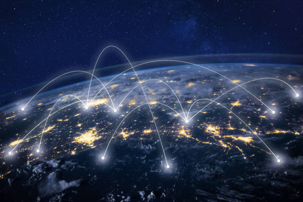
Highly detailed 3d generated globe with glowing connection lines between big cities. Perfectly usable for all kinds of topics related to international business and finance or global data networks. Created from textures by NASA: https://visibleearth.nasa.gov/images/55167/earths-city-lights, https://visibleearth.nasa.gov/images/73934/topography


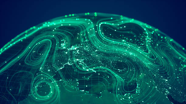
Earth (focus on Europe) represented by little dots, binary code and lines - big data, global business, cryptocurrency 3D render

Blue Globe viewing from space at night with connections between cities.(World Map Courtesy of NASA: https://visibleearth.nasa.gov/view.php?id=55167)
Our creative library is free of AI-generated contentChoose your visuals with confidence knowing our creative library is free from AI-generated content, so your searches only return safe, high-quality visuals you can trust.

global transportation concept design

Earth globe view from space at night with global communication network neon lightening. All the world map textures are originally from NASA. (3d render) Map sources Url: -https://earthobservatory.nasa.gov/features/NightLights/page3.php (color map) -https://visibleearth.nasa.gov/view.php?id=57747 (clouds map)

Blue Globe viewing from space at night with connections between cities.(World Map Courtesy of NASA: https://visibleearth.nasa.gov/view.php?id=55167)

The flow of data across a connected world.(World Map Courtesy of NASA: https://visibleearth.nasa.gov/view.php?id=55167)


The flow of data across a connected world. (World Map Courtesy of NASA: https://visibleearth.nasa.gov/view.php?id=55167)

Polygonal map. Digital globe map, blue polygons earth maps and world internet connection 3d grid. Global earth map, geography mapping futuristic atlas vector concept illustration

concept of communication world, graphic of dotted globe with light wire

Globe viewing from space at night with abstract artificial intelligence lines. (World Map Courtesy of NASA: https://visibleearth.nasa.gov/view.php?id=55167)

Abstract vector illustration of world network. File organized with layers. Global colors used.

Global communication network concept. Elements of this image furnished by NASA. 3D rendering.
3d rendered image, perfectly usable for all kinds of topics related to big data, global business and finance or climate change.

High quality 3D rendered image, perfectly usable for topics related to big data, global networks, international flight routes or the spread of a pandemic / computer virus. Textures courtesy of NASA: https://visibleearth.nasa.gov/images/55167/earths-city-lights, https://visibleearth.nasa.gov/images/73934/topography

A detailed visualization of global information networks. The dynamic lines and glowing patterns symbolize the flow of data.(World Map Courtesy of NASA: https://visibleearth.nasa.gov/view.php?id=55167)


abstract world map digital texture pattern technology innovation concept background eps 10 vector

global transportation concept design

Abstract Earth view from space with connections from major cities.(World Map Courtesy of NASA: https://visibleearth.nasa.gov/view.php?id=55167)

Glowing connection lines between international airports. High quality 3D rendered image created from textures by NASA: https://visibleearth.nasa.gov/images/55167/earths-city-lights, https://visibleearth.nasa.gov/images/73934/topography

Glowing connection lines between international airports. 3D rendered image created with textures by NASA: https://visibleearth.nasa.gov/images/55167/earths-city-lights, https://visibleearth.nasa.gov/images/73934/topography

Telecommunication, planet Earth from space, business communication worldwide, original image furnished by NASA - https://images-assets.nasa.gov/image/iss040e090540/iss040e090540%7eorig.jpg


Glowing polygonal map on dark background. Internation ai and innovation concept. 3D Rendering

Abstract metaverse globe with neon colored lights and networks.(World Map Courtesy of NASA: https://visibleearth.nasa.gov/view.php?id=55167)

Telecommunication network above Europe viewed from space with connected system for European 5g LTE mobile web, global WiFi connection, Internet of Things (IoT) technology or blockchain fintech. Some elements from NASA (https://eoimages.gsfc.nasa.gov/images/imagerecords/57000/57752/land_shallow_topo_2048.jpg)
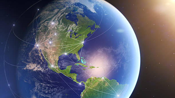
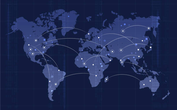
"Global connections for social, business, trade & transport, internet.Maps courtesy of NASA.See also:Europe and Asia versions:"


Green digital Globe with connections.(World Map Courtesy of NASA: https://visibleearth.nasa.gov/view.php?id=55167)

High quality 3D rendered image, perfectly usable for topics related to big data, global networks, international flight routes or the spread of a pandemic / computer virus. Special focus on Brazil and the USA. Textures courtesy of NASA: https://visibleearth.nasa.gov/images/55167/earths-city-lights, https://visibleearth.nasa.gov/images/73934/topography

Blue Globe viewing from space at night with connections between cities.(World Map Courtesy of NASA: https://visibleearth.nasa.gov/view.php?id=55167)


concept of communication technology, world map globe in dotted futuristic style


Telecommunication network above North America from space by night with city lights in USA, Canada and Mexico, satellite orbiting Planet Earth for Internet of Things IoT and blockchain technology (https://eoimages.gsfc.nasa.gov/images/imagerecords/57000/57752/land_shallow_topo_2048.jpg)
Globe viewing from space at night with abstract 5G connection zones.(World Map Courtesy of NASA: https://visibleearth.nasa.gov/view.php?id=55167)

Global world telecommunication network connected around planet Earth, concept about internet and worldwide communication technology for finance, blockchain cryptocurrency or IoT, elements from NASA (images-assets.nasa.gov/image/iss040e090540/iss040e090540~orig.jpg)

Virtual reality and modern science. Abstract image of dots and lines. Floating blue plexus geometric background.

Earth view from space at night with lights and connections from cities. (World Map Courtesy of NASA: https://visibleearth.nasa.gov/view.php?id=55167)

Abstract Earth view from space with fiber optic cables rising from major cities.(World Map Courtesy of NASA: https://visibleearth.nasa.gov/view.php?id=55167)

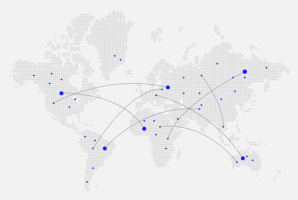
A detailed world map illustration made up of dots with flight path lines curving between destinations. The map highlights the busiest airports across the world and is an ideal design element for your project. It's easy to colour and customise if required and can be scaled to any size without loss of quality.

Connections around planet Earth viewed from space at night, cities connected around the globe by shiny lines, international travel or global business finance, world connectivity, elements from NASA (https://eoimages.gsfc.nasa.gov/images/imagerecords/90000/90008/europe_vir_2016_lrg.png)
Location Pin Nevigation Icons on World Map Polygon Graphic Background with Connected Lines.

Modern world map made of lines and dots on dark blue background. Global network conncections, global business, communication concept. Fururistic wireframe design vector illustration.

High quality 3D rendered image, made from ultra high res 20k textures by NASA: https://visibleearth.nasa.gov/images/55167/earths-city-lights, https://visibleearth.nasa.gov/images/73934/topography, https://visibleearth.nasa.gov/images/57747/blue-marble-clouds/77558l


A world map background global business or technology abstract concept


futuristic earth map technology abstract background represent global connection concept
of100Next