
An elevated view of the Yakima Valley in Washington state with Mt. Adams in the distance.
Browse 990+ yakima washington photos stock photos and images available, or start a new search to explore more stock photos and images.

An elevated view of the Yakima Valley in Washington state with Mt. Adams in the distance.
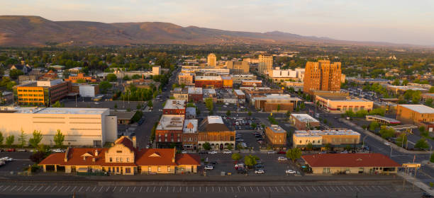
Beautiful light illuminated the downtown urban core city center of Yakima, WA
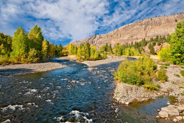
The Naches River flows from the Cascade Range near Chinook Pass and enters the Yakima River in the town of Yakima, Washington State, USA. In the fall, the banks of the river are lined with colorful trees.

Yakima Canyon and river in fall season. Blue sky reflects in water. Red, yellow and orange colors of foliage on both riverbanks

Yakima Canyon with light flare effect from above in sunset time. Railway and Yakima river are far below. State of Washington, USA

A striking view of a vineyard in Yakima Valley, Washington on an amazing summer day.

portion of an apple orchard with overhead irrigation sprinklers watering the trees

Prosser, WA, USA - September 27, 2014: The 25th Annual Great Prosser Balloon Rally. Giant balloons fly over Yakima river

Fred G. Redmon Memorial Bridge north of Yakima, Washington with green landscape and blue sky and clouds.
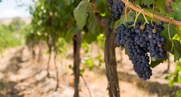
Grapes on the Vine after overnight frost waiting for harvest.

Popular hiking and mountain biking trail in the Yakima Valley with beautiful westward views.

Bethel Ridge is a great spot outside of the Yakima Valley to see the night sky without light pollution,

Hops on vines ready for harvest in late summer in Yakima Valley WA
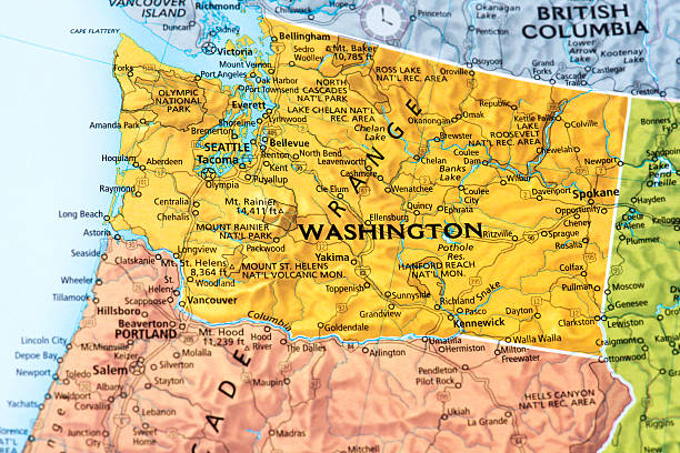
Map of Washington State. Selective focus.
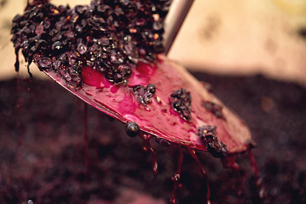
Increasing oxygenationin in fermenting wine at an organic vineyard.

"late afternoon on an apple farm in Yakima, WAApple Orchards"
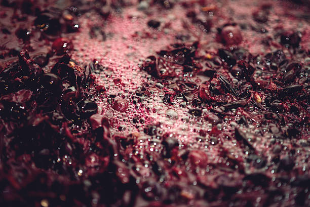
Increasing oxygenationin in fermenting wine at an organic vineyard.

Quiet garden pagoda hidden in a park near Yakima, Washington.

"apple farms in Yakima,WAApple Orchards"

These fresh Bing Cherries in wooden boxes were grown in Yakima, Washington State, USA.

The alpine meadows bloom with wildflowers beneath the majestic peaks of the Cascade mountain range

"Jet skier on Yakima River, Yakima River Canyon, Washington state"

The Naches River flows from the Cascade Range near Chinook Pass and enters the Yakima River in the town of Yakima, Washington State, USA. In the fall, the banks of the river are lined with colorful trees.
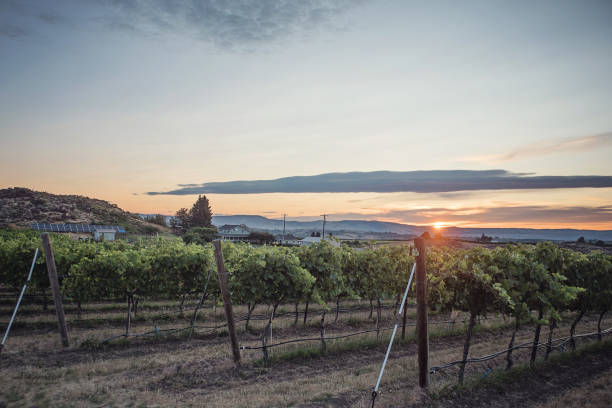
Sunrise at a Beautiful Washington State Vineyard, Organic & Biodynamic. Solar Panels, Distillery & Winery in the background.

A freight train moves through a canyon by the Yakima river in central Washington.
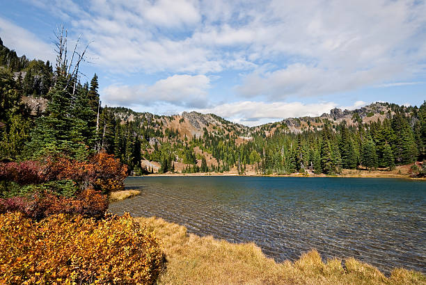
The Pacific Crest Trail, officially known as the Pacific Crest National Scenic Trail, stretches 2,653 miles from the Mexican border to the Canadian Border. It follows the Cascade Range of mountains in Washington, Oregon and Northern California. In Southern California it follows the Sierra Nevada range. The mountains, lakes, meadows and forests along the Pacific Crest Trail are a visual delight in any season. This colorful fall scene was photographed at Sheep Lake, north of Chinook Pass, in the Mount Baker Snoqualmie National Forest, Washington State, USA.

Arrowleaf Balsamroot (Balsamorhiza sagittata) is a North American flowering plant in the sunflower tribe of the aster family. It is widespread across the western United States and western Canada. It is drought tolerant and grows in diverse habitats from grassland to mountain forest and desert. The plant’s native range extends from British Columbia to the Mojave Desert of California and as far east as the Black Hills of South Dakota. The round to oval shaped leaves are covered in fine hair. The distinctive orange-yellow leaves make the plant easy to identify. These arrowleaf balsamroot were photographed in Cowiche Canyon near Yakima, Washington State, USA.

Fast moving wildfire, flames and smoke are encompassing everything.

"Tractor's shovel moving discarded hop vines, stems and leaves to truck for distribution as mulch in hop fields in Yakima Valley, Washington state"
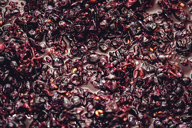
Closeup of fermenting wine in an organic vineyard.
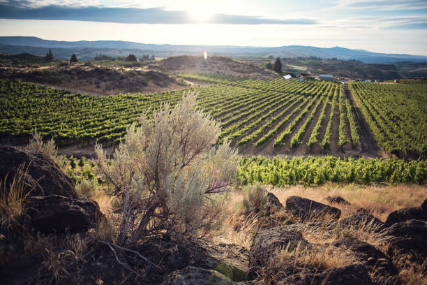
Sunrise at a Beautiful Washington State Vineyard - Wild Sagebrush focus

Hands packaging sweet cherries into plastic box or container on conveyor belt line at cherry orchard in Yakima Valley, Washington, America. Organic fresh sweet fruits from farm to market

This lone oak tree on a hillside was photographed along the Naches River near Yakima, Washington State, USA.

The Pacific Crest Trail, officially known as the Pacific Crest National Scenic Trail, stretches 2,653 miles from the Mexican border to the Canadian Border. It follows the Cascade Range of mountains in Washington, Oregon and Northern California. In Southern California it follows the Sierra Nevada range. The mountains, lakes, meadows and forests along the Pacific Crest Trail are a visual delight in any season. This green forested scene with Dewey Lake was photographed near Chinook Pass, in the William O. Douglas Wilderness, Washington State, USA.

Yakima Canyon Foot Bridge - I found the pattern created by the structures under the bridge very interesting.
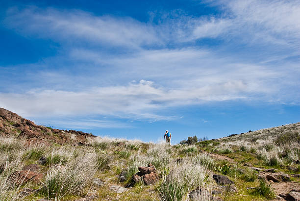
This senior female hiker reaches the top of a ridge on the Cowiche Canyon Trail. Cowiche Canyon is near Yakima, Washington State, USA.
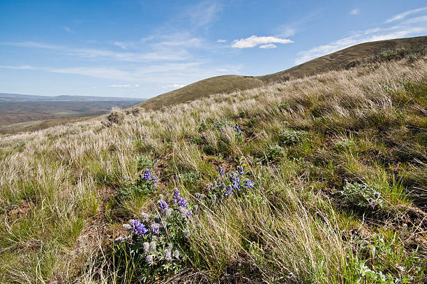
East of the Cascade Mountains, Washington’s climate is arid and the terrain is desert-like. Summertime temperatures can exceed 100 degrees Fahrenheit in regions such as the Yakima Valley and the Columbia River Plateau. This is an area of rolling hills and flatlands. During the last Ice Age, 18,000 to 13,000 years ago, floods flowed across this land, causing massive erosion and leaving carved basalt canyons, waterfalls and coulees known as the Channeled Scablands. This scene of rolling hills was photographed from Umtanum Creek Canyon in the L. T. Murray State Wildlife Recreation Area between Ellensburg and Yakima, Washington State, USA.

Old wooden hops' processing plant in rapeseed field and apple orchard in Yakima Valley WA

http://farm8.staticflickr.com/7189/6818724910_54c206caf8.jpg

"several farms in Yakima County,WA covered with snowApple Orchards"
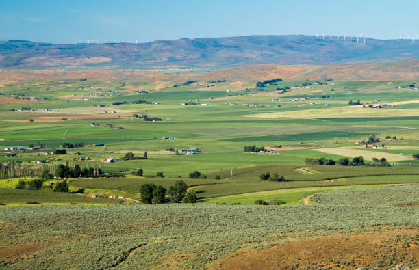
View at Ellensburg farmers fields, Yakima County, Washington State

Many people gather at the Union Gap Old Town Days to watch the state's largest Civil War Reenactment take place.
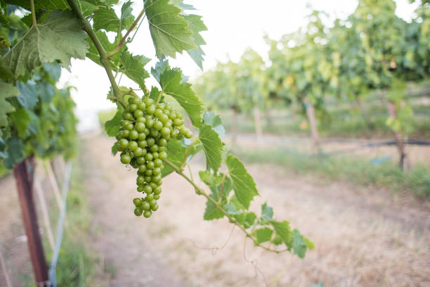
Beautiful Washington State Vineyards, Organic & Biodynamic
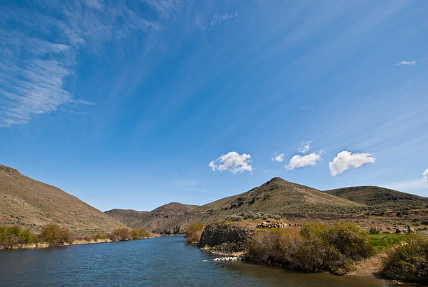
East of the Cascade Mountains, Washington’s climate is arid and the terrain is desert-like. Summertime temperatures can exceed 100 degrees Fahrenheit in regions such as the Yakima Valley and the Columbia River Plateau. This is an area of rolling hills and flatlands. During the last Ice Age, 18,000 to 13,000 years ago, floods flowed across this land, causing massive erosion and leaving carved basalt canyons, waterfalls and coulees known as the Channeled Scablands. This scene of the Yakima River was photographed from Umtanum Creek Canyon in the L. T. Murray State Wildlife Recreation Area between Ellensburg and Yakima, Washington State, USA.
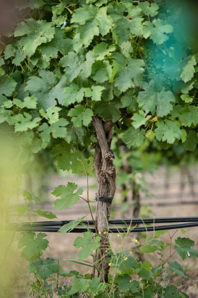
Beautiful Washington State Vineyards, Organic & Biodynamic

Between Ellensburg Washington and Yakima Washington runs Canyon Road. The Canyon was cut out by the Yakima River. Here are scenics from that route.

"elevated view of several farms in Yakima, WAYakima (Washington) farms"
© 2024 iStockphoto LP. The iStock design is a trademark of iStockphoto LP. Browse millions of high-quality stock photos, illustrations, and videos.
Do Not Sell or Share