
Illustrations
Canada stock illustrations, vectors & clip art
Get Canada stock illustrations from iStock. Find high-quality royalty-free vector images that you won't find anywhere else.


Unique Canada finds from our Signature collection
iStock’s ever-growing Signature collection features millions of authentic images—including these awe-inspiring Canada illustrations—that you won’t find on any other stock site.
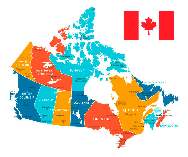
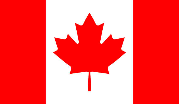
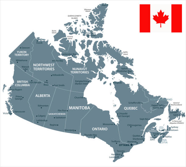
Vector Map of Canada with borders, cities and national flag. All elements are separated in editable layers
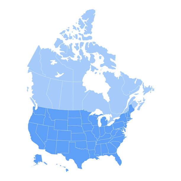
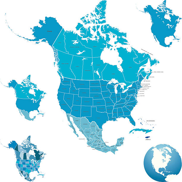
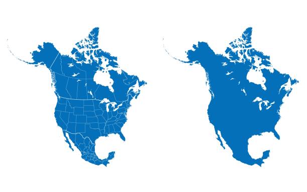
Vector illustration of the map of the United States of America and Canada in blue color and white outline.
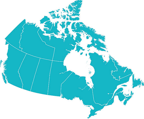
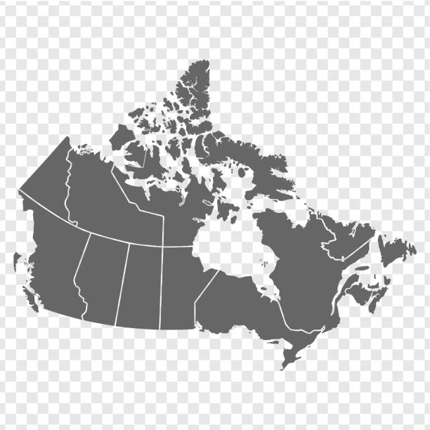
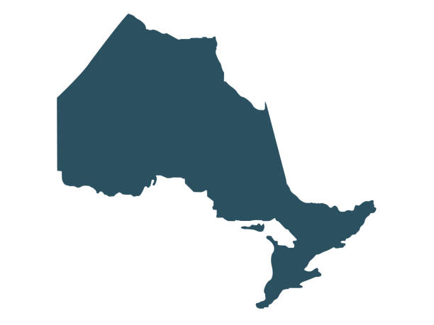
Detailed Vector map of Canada with provincial borders in white. Vector 2D Flat Map illustration Of Canada. The lines on the map divide and represent each province. This map is done as a silhouette to easily see the province border divide lines.
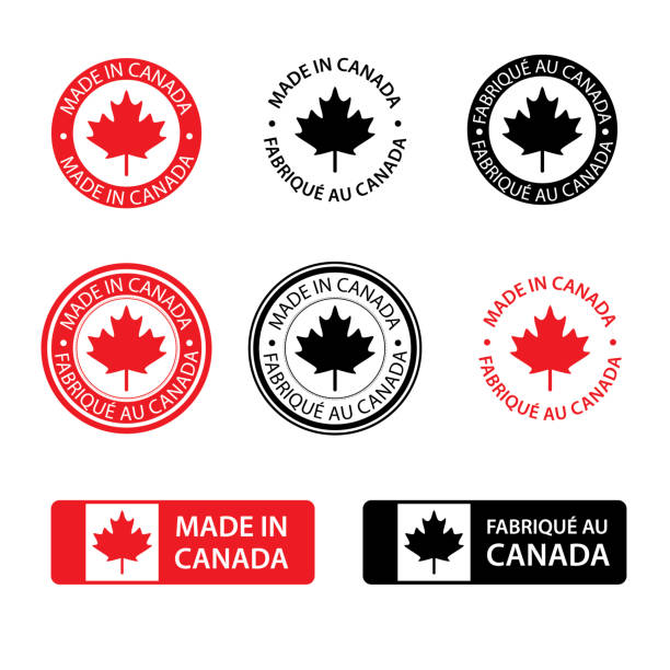
Different kind of made in Canada stamps isolated on white in English and French
Most popular Canada illustrations
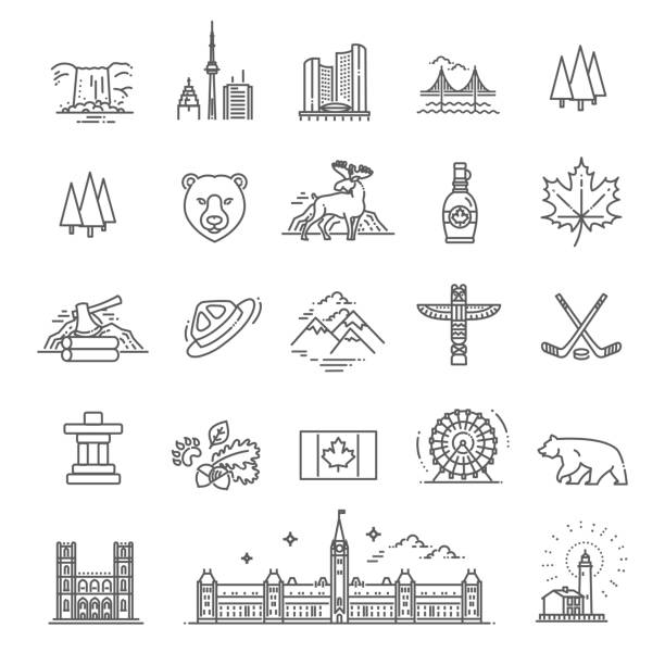
These eye-catching illustrations have a recognizable quality and universal appeal that connects with audiences everywhere.

A map Canada. Hires JPEG (5000 x 5000 pixels) and EPS10 file included.
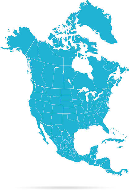
Map of Canada - Vector illustration

The ceremony of Remembrance Day that honors all military heroes who died in the First World War for the Commonwealth member states, red poppy blooming is a symbol of remembrance and hope for peaceful world

3D map of Canada isolated on a blank and gray background, with a dropshadow. Vector Illustration (EPS10, well layered and grouped). Easy to edit, manipulate, resize or colorize.


Set of 5 dotted maps of Canada in 5 different resolutions: from very low to ultra high, and outline map.
Best practices for finding the best visuals
For helpful advice on choosing visuals that will elevate your brand, check out our blog

Learn with iStock: All You Need to Know About Stock Footage, Image Licensing, and File Formats

Video Job Report 2023: Trend Analysis of Video Jobs

The Ultimate Guide to Hex Colors