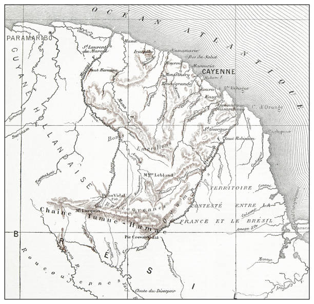
Map from La Premiere Annee de Geographie by P. Foncin - Paris 1887
Browse 70+ french-colonial stock illustrations and vector graphics available royalty-free, or start a new search to explore more great stock images and vector art.
Map from La Premiere Annee de Geographie by P. Foncin - Paris 1887

Map of military battles between the French and Native Americans against the British and American Colonists in 1754–1763. Illustration published in The New Eclectic History of the United States by M. E. Thalheimer (American Book Company; New York, Cincinnati, and Chicago) in 1881 and 1890. Copyright expired; artwork is in Public Domain.

Hiistorical political map of North and South America with the territorial assignment to the European colonial states at the end of the 19th century. Explanations in French. Chromolithograph, published in 1898.

British, Dutch, French, Spanish, Portuguese, Italian and Danish colonies at the end of the 19th century. Lithograph, published in 1897.

Map from La Premiere Annee de Geographie by P. Foncin - Paris 1887
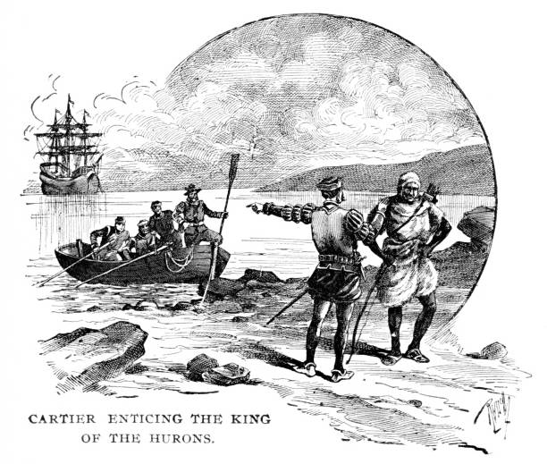
Jacques Cartier (December 31, 1491 –September 1, 1557) was a French and first European to map the Gulf of Saint Lawrence and the shores of the Saint Lawrence River, which he named "The Country of Canadas" after a Native American word for village. On different voyages he kidnapped important Native American men to took them back to France. Illustration engraving published 1895. This edition is in my private collection. Copyright is in public domain.
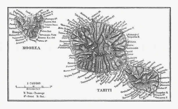
Historical map af Moorea and Tahiti. Wood engraving, published in 1897.

Hiistorical political map of Europe at the end of the 19th century. Explanations in French. Chromolithograph, published in 1898.

Old map of India, Indochina and Indonesia printed in the french dictionary "Dictionnaire complet illustré" by the editor Larousse in 1889. It depicts the Southeast Asia in the late 19th century.
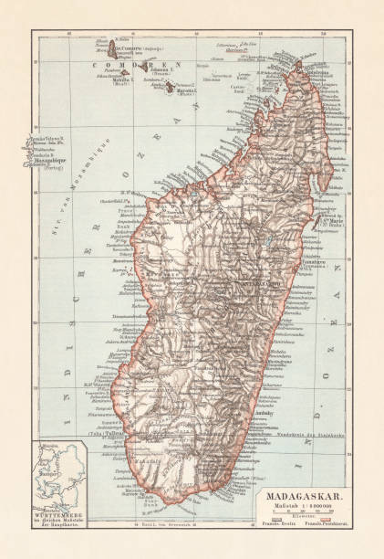
Topografic map of Madagascar. Lithograph, published in 1897.

Illustration of a Antique map of Algeria and Tunisia

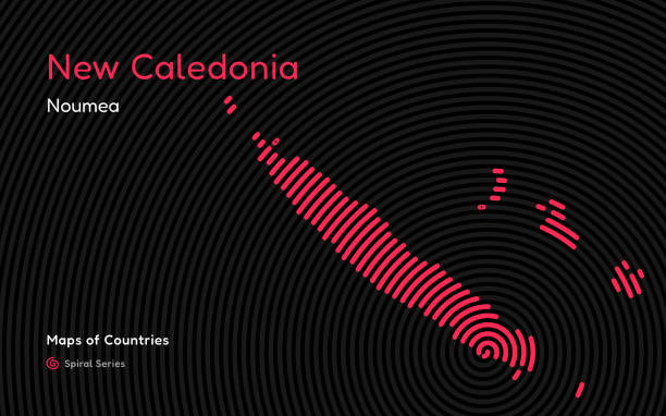
World Countries vector maps series. Spiral, fingerprint series

From Barness Primary History of the United States published in 1885

Historical map of French Indochina - a grouping of French colonial territories in Southeast Asia. Chromolithograph, published in 1899.

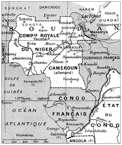
Hiistorical political map of Africa with the territorial assignment to the European colonial states at the end of the 19th century. Explanations in French. Chromolithograph, published in 1898.

World Countries vector maps series. Spiral, fingerprint series
World Countries vector maps series. Spiral, fingerprint series

Historical maps of former French colonies in Africa, Asia and Oceania at the end of the 19th century. Explanations in French. Chromolithograph, published in 1898.

Martinique Ribbon Waving Flag Isolated on White. Vector Illustration. Martinique Flag with Sharp Corners

Illustration of a New Caledonia and Maldives
World Countries vector maps series. Spiral, fingerprint series

World Countries vector maps series. Spiral, fingerprint series

Map of Acadia with french and British settlements, now modern day Canadian maritime provinces (circa early 18th century). Vintage etching circa 19th century. The French and English both controlled portions of Acadia.

Map of New Caledonia and the Loyalty Islands (belonging to France). Wood engraving, published in 1897.

Historical map of Tunis and surroundings - capital city of Tunisia. Wood engraving, published in 1897.

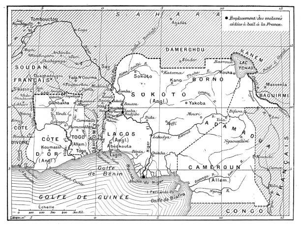
Historical map of West Africa withTogo, Burkina Faso, Ghana, Benin and Nigeria. Wood engraving, published in 1899.