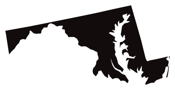
Maryland, state of USA - solid black outline map of country area. Simple flat vector illustration.
Browse 510+ maryland state outline stock illustrations and vector graphics available royalty-free, or start a new search to explore more great stock images and vector art.
Maryland, state of USA - solid black outline map of country area. Simple flat vector illustration.
Set of Maryland map, united states of america. Flat concept icon vector illustration .
Vector of Highly Detailed Map of Maryland State of the United States of America - The url of the reference file is : https://www.cia.gov/library/publications/the-world-factbook/graphics/ref_maps/pdf/united_states.pdf

Maryland US state map red outline border. Vector illustration isolated on white. Two-letter state abbreviation. Editable stroke. Adjust line weight.

Detailed state-county map of Maryland. This file is part of a series of state/county maps. Each file is constructed using multiple layers including county borders, county names, and a highly detailed state silhouette. Each file is fully customizable with the ability to change the color of individual counties to suit your needs. Zip contains both .AI_CS2 and .ESP_8.0 as well as a large JPEG file. Map generated using data from the public domain. (http://www.census.gov/geo/www/tiger/) Traced using Adobe Illustrator CS2 on 7/28/2006. 3 data layers.

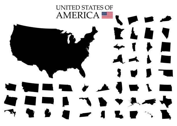
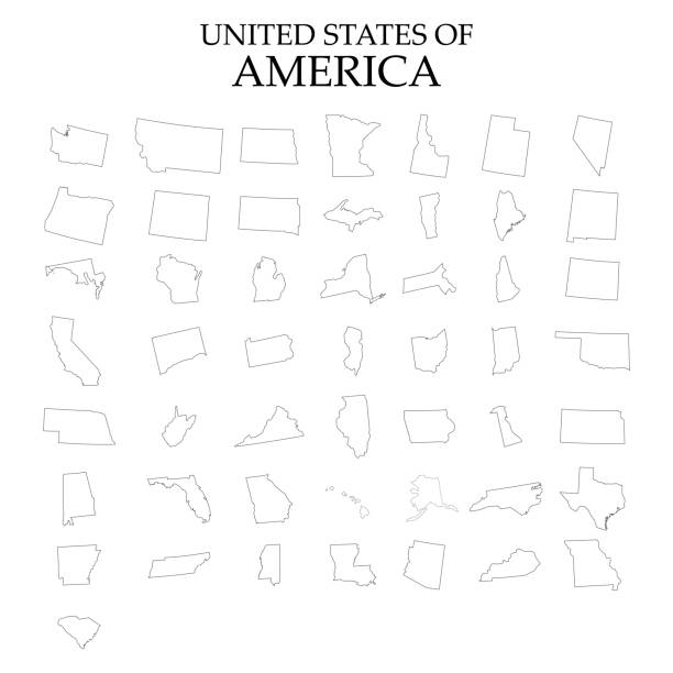
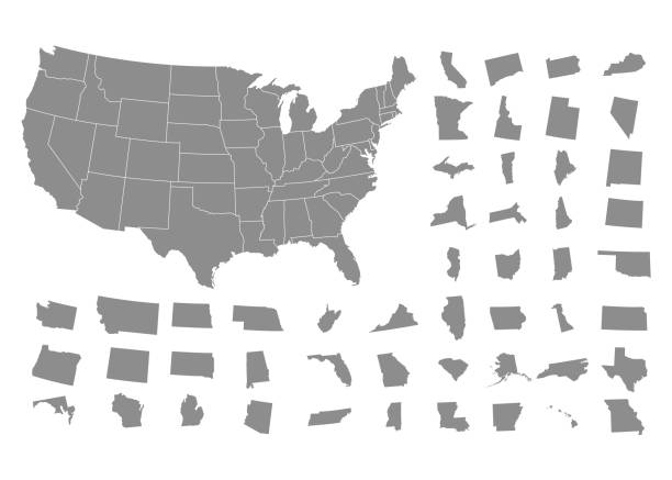
illustration of highly detailed U.S.A map with all state for your design , products and print.
Highly-detailed Maryland county map. Each county is in it's own separate labeled layer. County names are in a separate layer and can be easily adjusted or removed as well. All layers have been alphabetized for easy manipulation, recoloring or other use.

Vector silhouette of Maryland in white with a drop shadow.
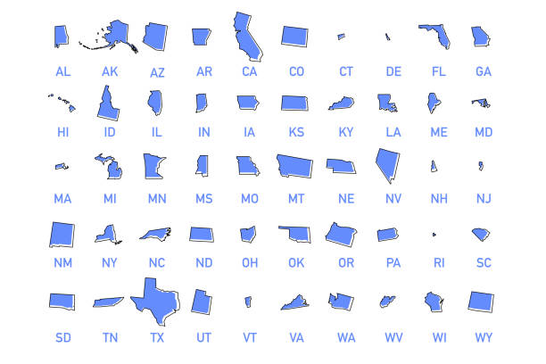
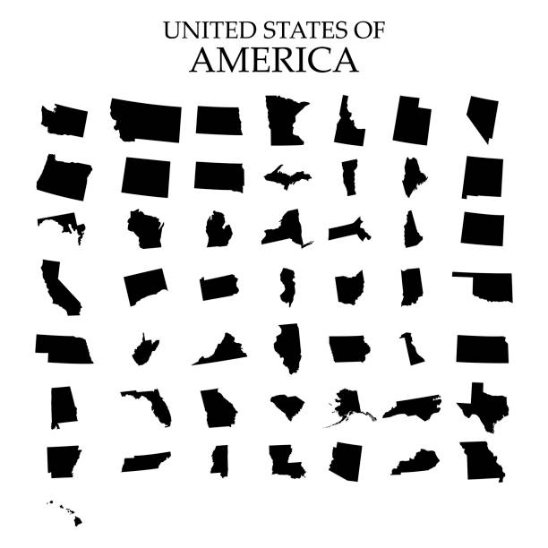
USA states vector illustration. All 50 states of America shapes coloured in lilac isolated on white background.
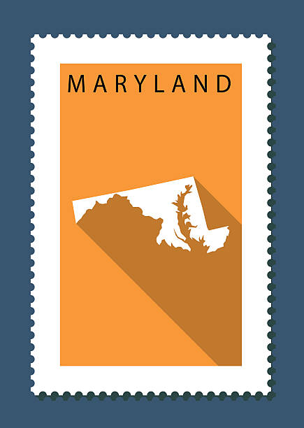
Map of Maryland on orange background with a flat design style and a long shadow effect on stamp

Map reference is from University of Texas Libraries (https://geodata.lib.utexas.edu/catalog/stanford-jv962kc4000)
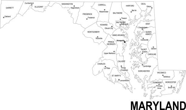
Detailed outline map of Maryland with capital

Detailed vector map of the State and Flag. PDF file included.

Doodle vector map of Maryland state of USA. With legends of state and capital

Maryland Map Black, State Border, United States, US America, Transparent Isolated, Variations. Maryland state isolated on a background, USA map

3d isometric map South Atlantic Region of United States, isolated with shadow

Stylized green sketch map of Maryland illustration vector
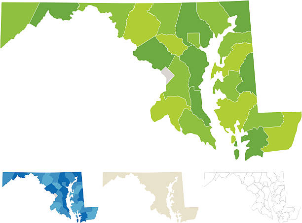
"Highly-detailed Maryland county map (including D.C). Each county shape is in a separate labeled layer. All layers have been alphabetized for easy manipulation, recoloring or other use. (see image below -- note: labels only available in AICS2 and AI10 files)"

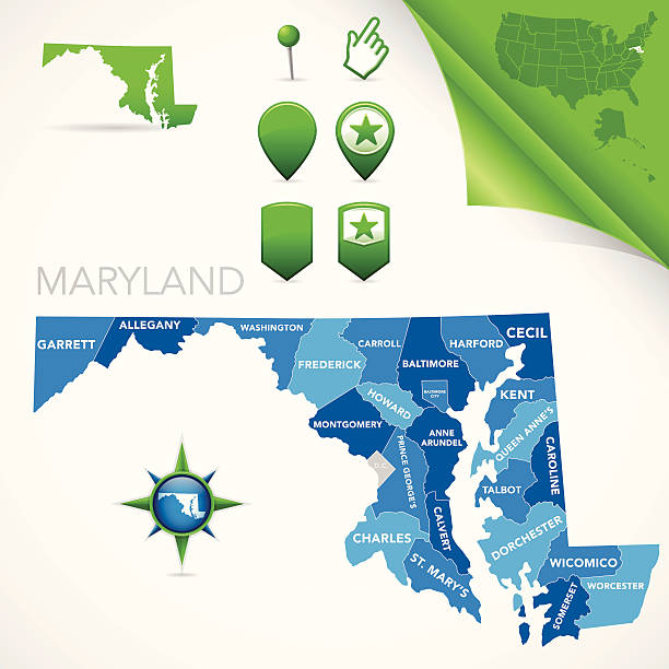
Map of Maryland state with counties

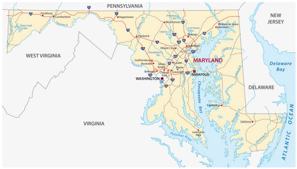
Topographic / Road map of Baltimore, MD, USA. Original map data is open data via © OpenStreetMap contributors. All maps are layered and easy to edit. Roads have editable stroke.

illustration of Maryland state map with road map for your design and products.
Vector isolated illustration icon with simplified blue map's silhouette of State of Maryland (USA). Polygonal geometric style. White background.

Pennsylvania administrative and political vector map

Detailed map of Maryland with surroundings, provinces and capital