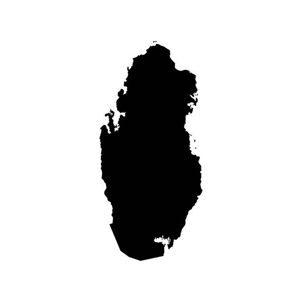
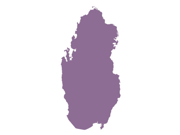
Simplified map of Qatar. Vector isolated illustration icon. Black silhouette, white background
Browse 12,900+ qatar stock illustrations and vector graphics available royalty-free, or search for qatar flag or qatar stadium to find more great stock images and vector art.
Simplified map of Qatar. Vector isolated illustration icon. Black silhouette, white background
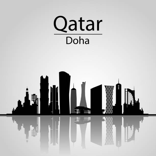
Qatar, Doha Skyline. With Silhouette of the City, Modern Architectural Buildings
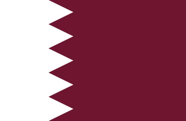
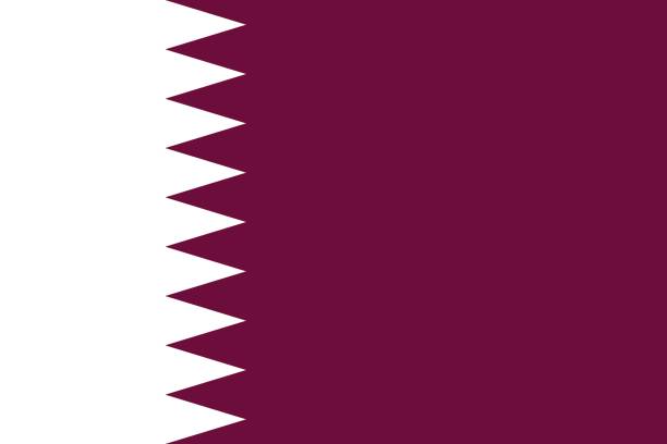
Vector of nice Qatari flag.
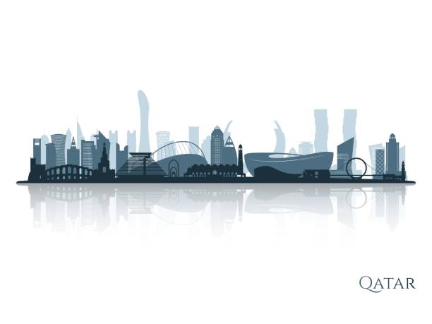
Qatar skyline silhouette with reflection. Landscape Qatar. Vector illustration.
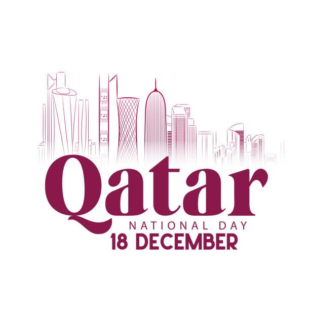
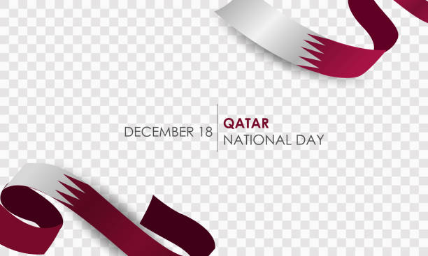
Qatar national day, Qatar independence day , December 18th
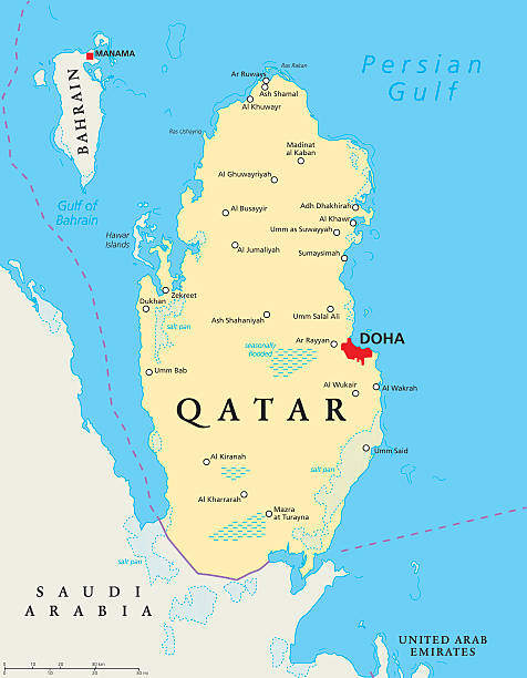
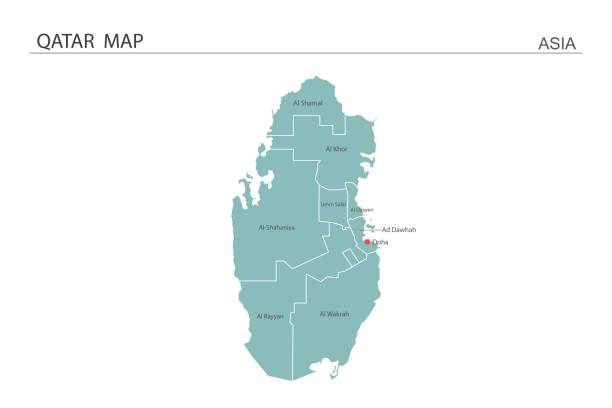
Qatar political map with capital Doha, national borders, important cities, salt pans and reefs. English labeling and scaling. Illustration.

Israel vs Qatar concept flags on wall with crack. Israel and Qatar political conflict, economy, war crisis, relationship, trade concept

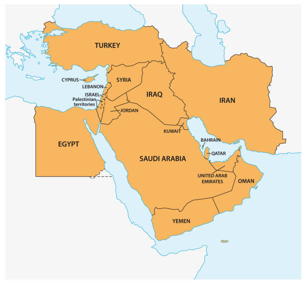
Persian Gulf region, political map. Also Arabian Gulf, a mediterranean Sea in West Asia, located between Iran and Arabian Peninsula, connected to the Gulf of Oman in the east by the Strait of Hormuz.

Qatar national day celebration with landmark and flag in Arabic translation: qatar national day 18 th december. vector illustration

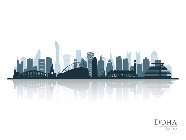
City Doha skyline. Arabic Urban cityscape. Qatar capital skyscraper buildings silhouette

Doha cityscape line art style vector illustration
vector illustration of Qatar map
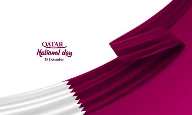
Happy Qatar national day, december the 18th, bent waving ribbon in colors of the Qatar national flag. Celebration background.

A vector illustration of Doha's cityscape in an abstract style with colourful, geometric shapes
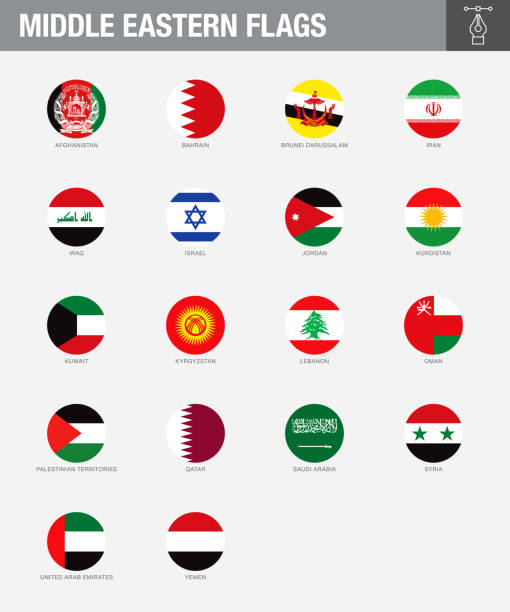
A set of Middle Eastern country flags. Drawn in the correct aspect ratio. File is built in the CMYK color space for optimal printing, and can easily be converted to RGB without any color shifts.

qatar national day 18 th december with landmark and flag
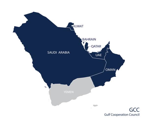
Map of the Gulf Cooperation Council (GCC)'s members. Vector

Map of Qatar for your own design. With space for your text and your background. Four maps included in the bundle: - One black map. - One blank map with only a thin black outline (in a line art style). - One mosaic map. - One white map with a thin black outline. The 4 maps are isolated on a blank background (for easy change background or texture).The layers are named to facilitate your customization. Vector Illustration (EPS10, well layered and grouped). Easy to edit, manipulate, resize or colorize.

Qatar administrative map isolated on gray background

Qatar national day, Qatar independence day celebration in December 18th . Arabic script means'' Qatar, National day''

Doha skyline vector engraved illustration hand drawn
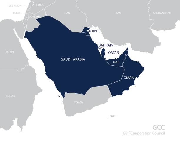
Map of the Gulf Cooperation Council (GCC)'s members. Vector

Qatar national day, Qatar independence day , december 18 th . translation: Qatar national day 18 decembe

Doha skyline cityscape illustration skyline with panorama in sky background. Vector Illustration. Business travel and tourism concept with modern buildings. Image for banner or web site
Editable to any size. Vector Design EPS 10 File.
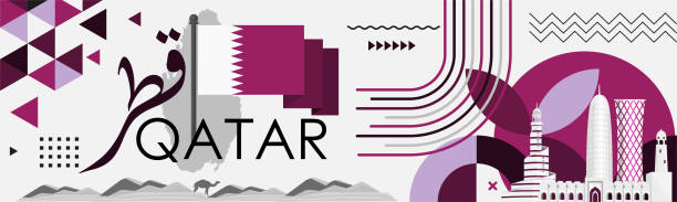
Qatar national day banner stating "Qatar" in Arabic calligraphy. Qatari flag and map with modern geometric retro abstract design. Purple or violet color theme. Doha landmarks and skyline. Vector

Image Editable Clip Art. and Jpg of a Sunset on a Qatar skyline with modern railway track system and road system.
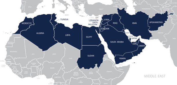
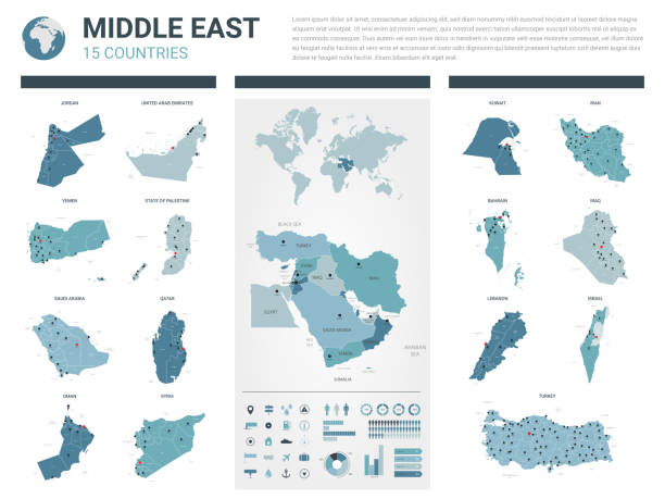
Map of Middle East. Member states are as follows;

White map of Qatar isolated on a gray background with a long shadow effect and in a flat design style. Vector Illustration (EPS10, well layered and grouped). Easy to edit, manipulate, resize or colorize.

Abstract background, welcome to Qatar, award banner, vector illustration

Outline Doha Qatar City Skyline with Modern Buildings Isolated on White. Vector Illustration. Doha Cityscape with Landmarks.
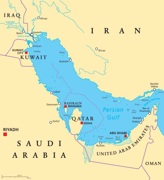
Persian Gulf region countries political map. Capitals, borders, cities and rivers. Iran, Iraq, Kuwait, Qatar, Bahrain, United Arab Emirates, Saudi Arabia, Oman. Illustration. English labeling. Vector.

Map of Qatar - Vintage Vector illustration
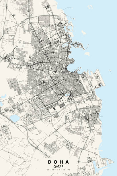
Topographic / Road map of Doha, Qatar. Map data is open data via openstreetmap contributors. All maps are layered and easy to edit. Roads are editable stroke.
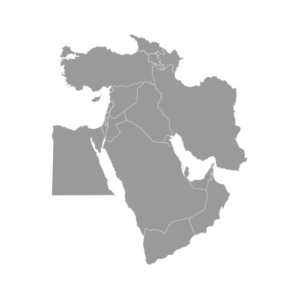
Vector illustration with simplified map of Asian countries. Middle East. States borders of Turkey, Georgia, Armenia, United Arab Emirates, Saudi Arabia, Qatar, Oman, Iran, Israel. Grey silhouette

Qatar, vector flag, virtual abstract 3D object from triangular polygons on a blue background

country silhouette of Asia, Asian map illustration, vector isolated on white background, glyph style

EPS10 Vector Patriotic Background with Qatar flag colors. An element of impact for the use you want to make of it.

Doha skyline detailed silhouette Trendy vector illustration linear style
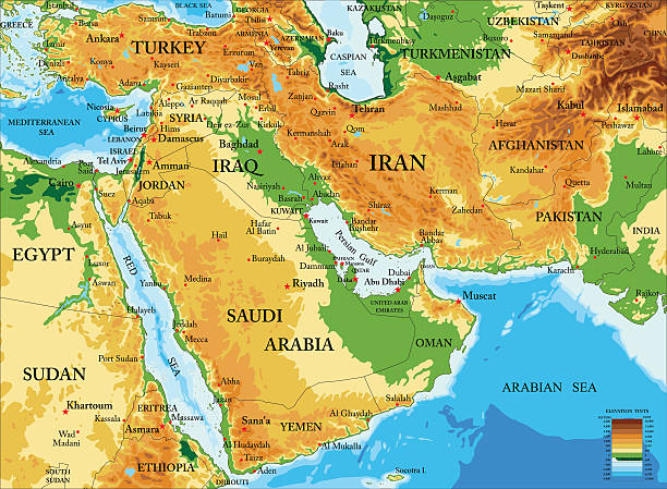
Highly detailed physical map of Middle East in vector format,with all countries, major cities and all the relief forms .

Qatar national day celebration with landmark and flag in Arabic translation: qatar national day 18 th december. vector illustration