
Images
Bengaluru Map Pictures, Images and Stock Photos
Browse 390+ bengaluru map stock photos and images available, or start a new search to explore more stock photos and images.
Most popular

High Quality map of Bangalore is a city of India, with borders of districts

High quality Map Bangalore City. vector illustration

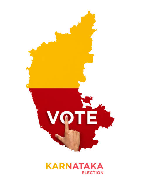
High Quality map of Karnataka is a state of India. With main cities location

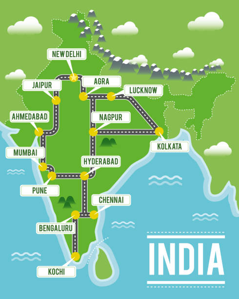
Poster Style topographic / Road map of Bangalore, India. Original map data is open data via © OpenStreetMap contributors. All maps are layered and easy to edit. Roads are editable stroke.

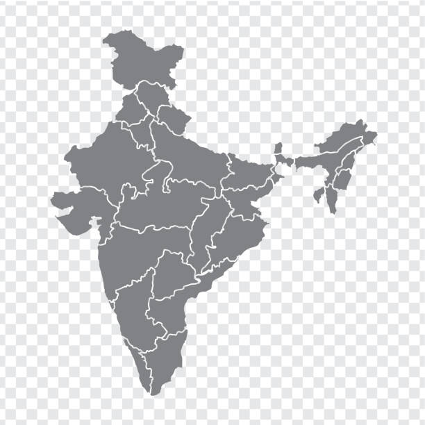
Black colored India outline map. Political indian map. Vector illustration map.

Bangalore India City Map in Retro Style. Outline Map. Vector Illustration.

Topographic / Road map of Bangalore, India. Original map data is open data via OpenStreetMap contributors. All maps are layered and easy to edit. Roads are editable stroke.


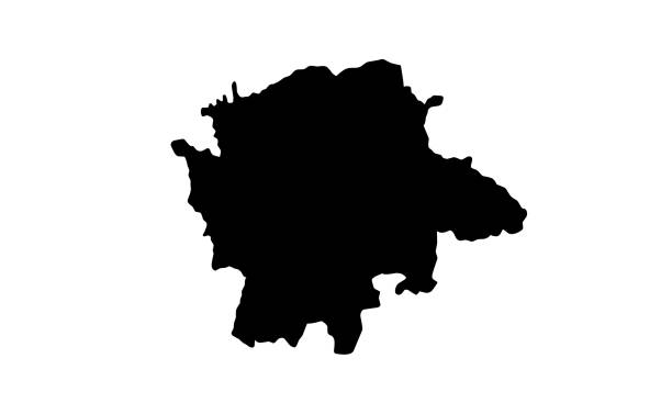
silhouette map of Karnataka country in India on white background

bangalore bangaluru india city region economy growth with team discuss on fold maps view from top vector illustration

Map of Karnataka created with round blue dots on a blank background. Modern and trendy mosaic illustration. Vector Illustration (EPS10, well layered and grouped). Easy to edit, manipulate, resize or colorize.

Topographic / Road map of Bangalore, India. Original map data is open data via OpenStreetMap contributors. All maps are layered and easy to edit. Roads are editable stroke.
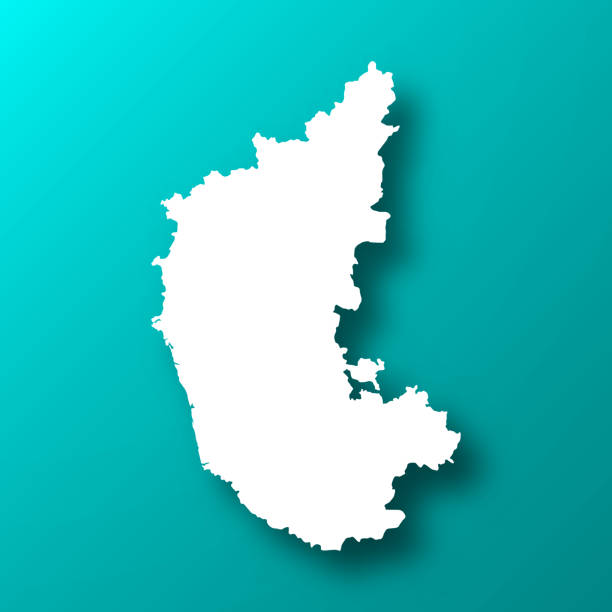
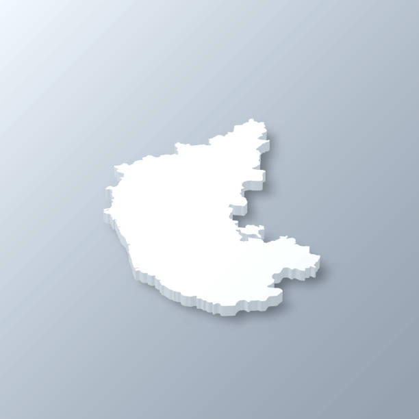
White map of Karnataka isolated on a trendy color, a blue green background and with a dropshadow. Vector Illustration (EPS10, well layered and grouped). Easy to edit, manipulate, resize or colorize.

Karnataka map highlighted red color on India map vector illustration. Light gray background. Perfect for business concepts, backdrop, backgrounds, label, sticker, chart etc.

silhouette map of Bangalore city in India on white background


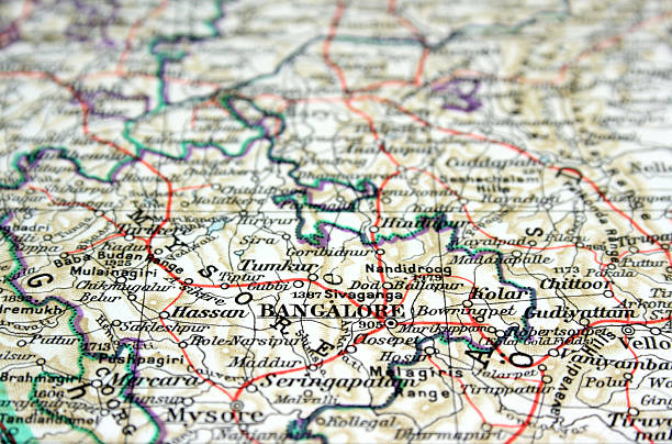
Bangalore map.Source: "World reference atlas"

Poster Style topographic / Road map of Bangalore, India. Original map data is open data via © OpenStreetMap contributors. All maps are layered and easy to edit. Roads are editable stroke.
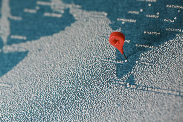
airplane fly on the blue painted felt map, india

Map of Karnataka for your own design. Three maps with editable stroke included in the bundle: - One black map on a white background. - One line map with only a thin black outline in a line art style (you can adjust the stroke weight as you want). - One map on a blank transparent background (for change background or texture). The layers are named to facilitate your customization. Vector Illustration (EPS file, well layered and grouped). Easy to edit, manipulate, resize or colorize. Vector and Jpeg file of different sizes.
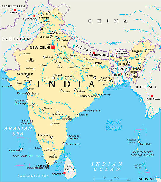
India political map with capital New Delhi, national borders, important cities, rivers and lakes. English labeling and scaling. Illustration.
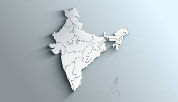
Country Political Geographical Map of India with States with Shadows

Bangalore India City Map in Retro Style. Outline Map. Vector Illustration.

Poster Style topographic / Road map of Bangalore, India. Original map data is open data via © OpenStreetMap contributors. All maps are layered and easy to edit. Roads are editable stroke.
Map of Karnataka for your own design. Four maps with editable stroke included in the bundle: - One black map on a white background. - One blank map on a black background. - One white map with shadow on a blank background (for easy change background or texture). - One line map with only a thin black outline (in a line art style). The layers are named to facilitate your customization. Vector Illustration (EPS10, well layered and grouped). Easy to edit, manipulate, resize or colorize. Vector and Jpeg file of different sizes.


Map of India - highly detailed vector illustration

Bangalore India City Map in Retro Style in Golden Color. Outline Map. Vector Illustration.

India map - highly detailed vector illustration
Map of India. Detail from the World Atlas (Webster's Concise.)
3D map of Karnataka isolated on a blank and gray background, with a dropshadow. Vector Illustration (EPS10, well layered and grouped). Easy to edit, manipulate, resize or colorize. Vector and Jpeg file of different sizes.


Bangalore City (Republic of India, Karnataka State) map vector illustration, scribble sketch City of Bengaluru map
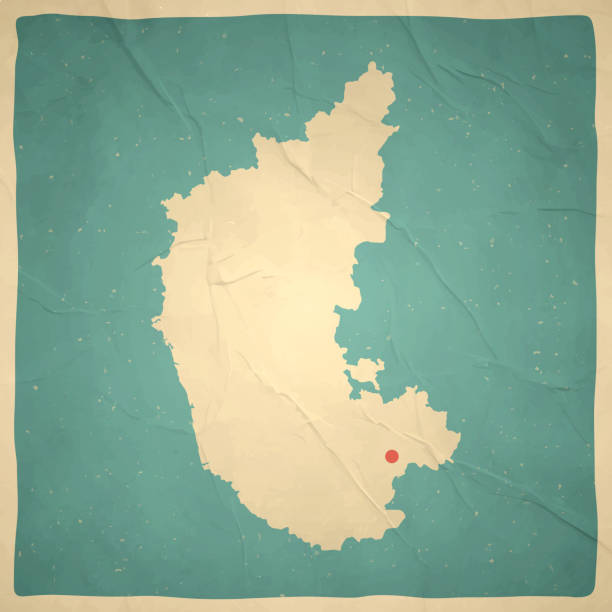
Map of Karnataka in a trendy vintage style. Beautiful retro illustration with old textured paper (colors used: blue, green, beige and red). Vector Illustration (EPS10, well layered and grouped). Easy to edit, manipulate, resize or colorize. Vector and Jpeg file of different sizes.

Bangalore, India, the way we looked at it in 1949
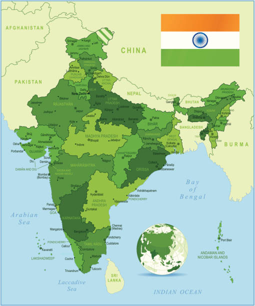
Highly detailed map of India with administrative divisions, cities and flag.


3d isometric map of Bangalore is a city of India, vector illustration

Cartoon map of Arizona State I have used http://legacy.lib.utexas.edu/maps/middle_east_and_asia/india_physio-2001.jpg address as the reference to draw the basic map outlines with Illustrator CS5 software, other themes were created by myself.
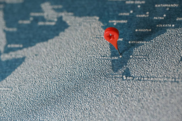
airplane fly on the blue painted felt map, india
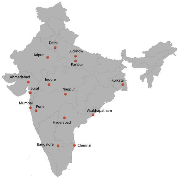
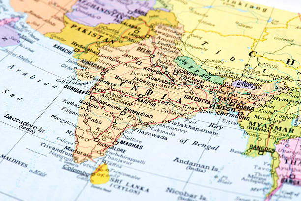
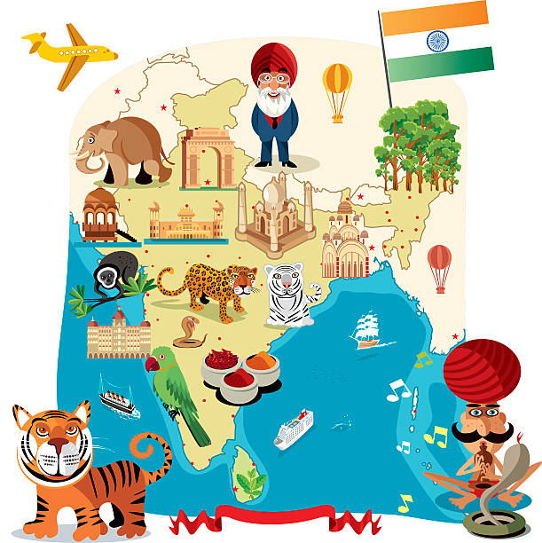
detailed map of the India with cities


Map of Karnataka cut out on a blank white paper with a blue background. Modern and trendy paper cutout effect. Vector Illustration (EPS file, well layered and grouped). Easy to edit, manipulate, resize or colorize. Vector and Jpeg file of different sizes.


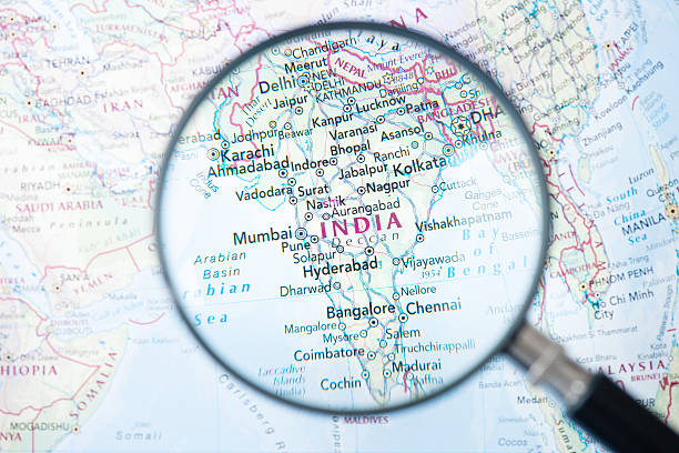
Map of major cities of India with the focus being a zoomed in or magnified view of Kochi

Next