Images
Bromley Map Pictures, Images and Stock Photos
Browse 20+ bromley map stock photos and images available, or start a new search to explore more stock photos and images.
Most popular
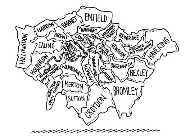
Hand-drawn vector drawing of a Map of the Boroughs Of London. Black-and-White sketch on a transparent background (.eps-file). Included files are EPS (v10) and Hi-Res JPG.

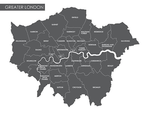
Abstract Vector illustration of all the London Boroughs and the river thames depicted through text.
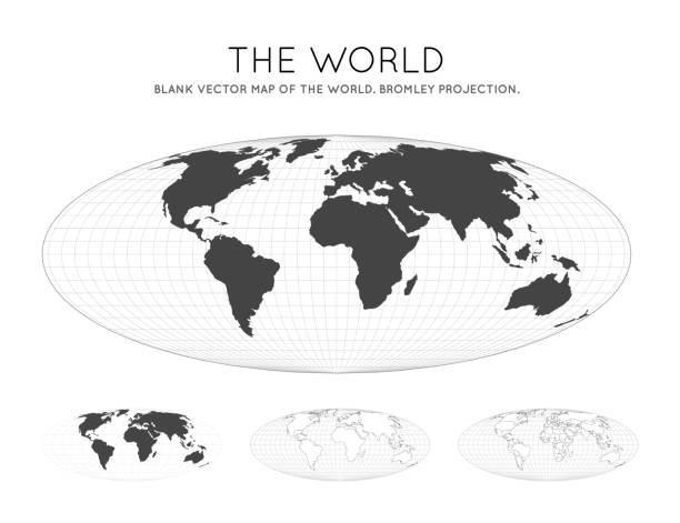
Map of The World. Bromley projection. Globe with latitude and longitude lines. World map on meridians and parallels background. Vector illustration.


Vector Illustration of a City Street Map of Bromley, London, UK. Included files are EPS (v10) and Hi-Res JPG.


Map of The World. Bromley projection. Futuristic Infographic world illustration. Bright cyan colors on dark background. Elegant vector illustration.

NY Cortland Scott Vector Road Map. All source data is in the public domain. U.S. Census Bureau Census Tiger. Used Layers: areawater, linearwater, roads, rails, cousub, pointlm, uac10. https://www.census.gov/geographies/mapping-files/time-series/geo/tiger-line-file.html


Map of The World. Bromley projection. Globe with latitude and longitude net. World map on meridians and parallels background. Vector illustration.

World Map. Bromley projection. Digital world illustration. Bright pink neon colors on dark background. Elegant vector illustration.

World network map. Bromley projection. Wired globe in Bromley projection on geometric low poly background. Creative vector illustration.


Low Poly World Map Set. Bromley projection. Collection of the world maps in geometric style. Vector illustration.

Global internet business concept. Bromley projection. World network map. Wired globe in Bromley projection on geometric low poly background. Elegant vector illustration.


Communications map of the world. Bromley projection. Green low poly world map with network background. Creative connected globe for infographics or presentation. Vector.

Internet and global connections map. Bromley projection. World Network. Modern connections map. Vector illustration.

NY Cortland Preble Vector Road Map. All source data is in the public domain. U.S. Census Bureau Census Tiger. Used Layers: areawater, linearwater, roads, rails, cousub, pointlm, uac10. https://www.census.gov/geographies/mapping-files/time-series/geo/tiger-line-file.html

Abstract map of world. Bromley projection. Plan world geographical map with graticlue lines. Vector illustration.

