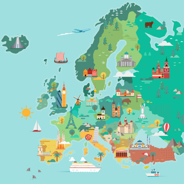
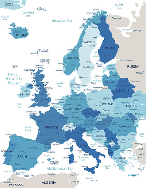
Map of Europe. Tourist map. Flat style illustration
Browse 3,400+ europe map czech republic with flag stock photos and images available, or start a new search to explore more stock photos and images.
Map of Europe. Tourist map. Flat style illustration

Map of Europe with countries names Tourist map. Flat style illustration

Vector illustration. I drew all elements in a vector graphics editor and design program. Elements and layers are well organized, separable, detachable and easy to use and edit. All source data is in the public domain via https://data.nasa.gov/dataset/World-Map/7zbq-j77a. The map is zoomed in on the region of Europe and has the Miller Cylindrical Projection https://www.giss.nasa.gov/tools/gprojector/help/projections/MillerCylindrical1.png

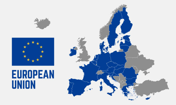
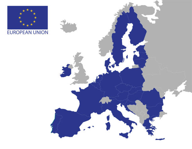
"European Union flag over Europe map. Source: ""World reference atlas"""

Blue vector map of European Union combined with 12 yellow stars of EU flag.

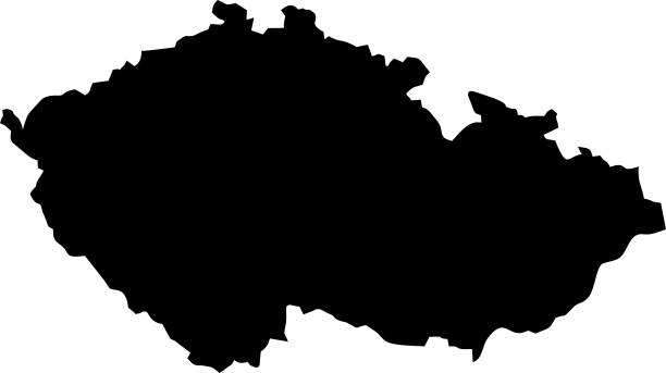
Map and flag of Czech Republic. Source: "World reference atlas"
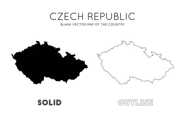
Czech Republic map. Blank vector map of the Country. Borders of Czech Republic for your infographic. Vector illustration.

Conflict between USA and China, male fists - governments conflict concept
Map location icon set, pointers symbols, ideal for website design, vector illustration graphic

Stars of the European Union's flag standing on the Europe's map. Tiny flags for each of the EU member countries...Similar images:

All round World Flags with country names (part1)

National red icon on white background. Vector illustration EPS 10.

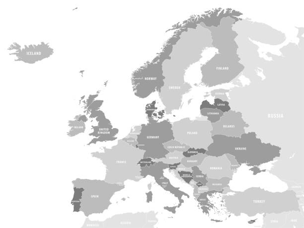
Europe map concept showing countries of europe labeled and separated into groups. EPS 10 file. Transparency effects used on highlight elements.

High quality Map Prague City. vector illustration
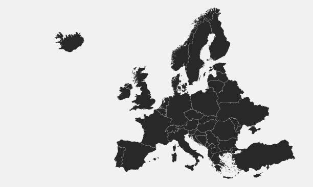
europe map (suitable for isometric items)
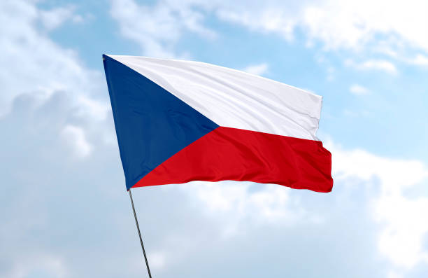
Flag of Czech Republic in front of the blue sky

Texas flag map icon vector isolated on a white background. Texas State Flag graphic design element. February 1 each year. Important day

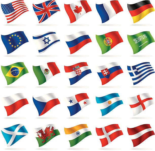
Waving Realistic Vector Flag Set. Europe Flags Isolated on White Background
Map of Czech Republic. Vector illustration. World map

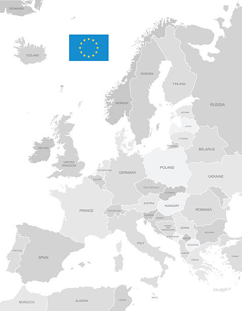
View on the globe zoomed on European union: Austria,Belgium, Bulgaria, Croatia, Cyprus, Czech Republic, Denmark, Estonia, Finland, France, Germany, Greece, Hungary, Ireland, Italy, Latvia, Lithuania, Luxembourg, Malta, Netherlands, Poland,Portugal, Romania, Slovakia, Slovenia, Spain, Sweden and the United Kingdom
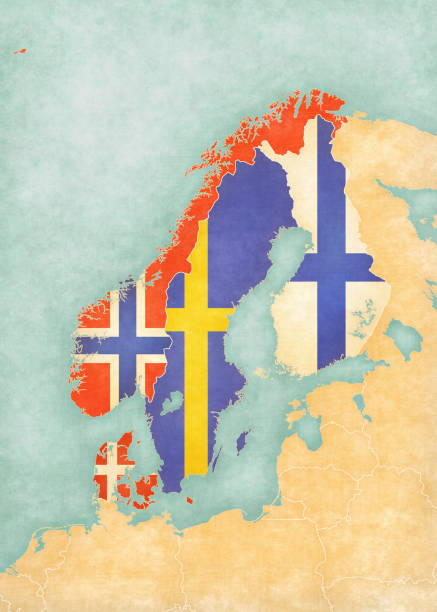
Flags of all countries on the map of Scandinavia in soft grunge and vintage style, like watercolor painting on old paper.
czech republic administrative and political vector map with flag

Map of Czech Republic. Vector illustration. World map

Map of Czech Republic isolated on a blank background and with his name on a red ribbon. Vector Illustration (EPS10, well layered and grouped). Easy to edit, manipulate, resize or colorize. Please do not hesitate to contact me if you have any questions, or need to customise the illustration. http://www.istockphoto.com/portfolio/bgblue

Conflict between USA and Iran, male fists - governments conflict concept
Most used webdesign icons, ui set, vector illustration

Vector Infographic Company Milestones Timeline Template with flag pointers and photo placeholders on a curved road line

http://dikobraz.org/map_2.jpg
Most used webdesign icons, ui set, vector illustration

Map of Peru colored with Peruvian flag and marked with golden line in grunge vintage style.
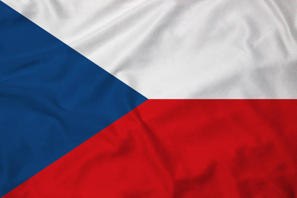
Flag of the Czech Republic, background with fabric texture
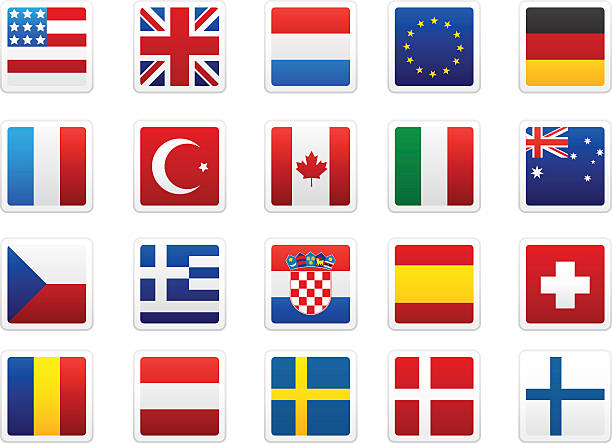
World flag collection: USA, UK, Netherlands, EU, Germany, France, Turkey, Canada, Italy, Australia, Czech Republic, Greece, Croatia, Spain, Switzerland, Romania, Austria, Sweden, Denmark, Finland

Grey map of European Union with flag against white background. The url of the reference to political map is: http://www.lib.utexas.edu/maps/europe/europe_pol_2012.pdf

Czech Republic flag map pin pointer layout. Vector illustration.
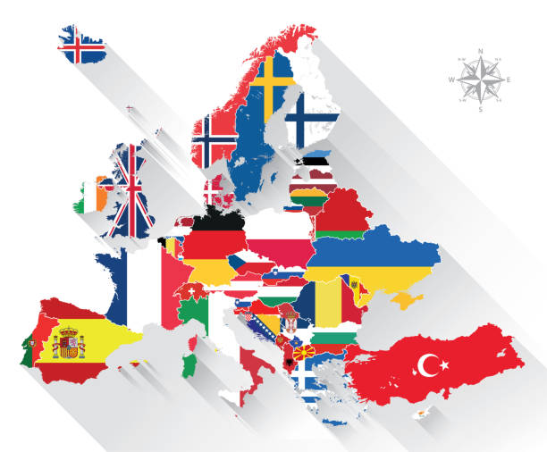
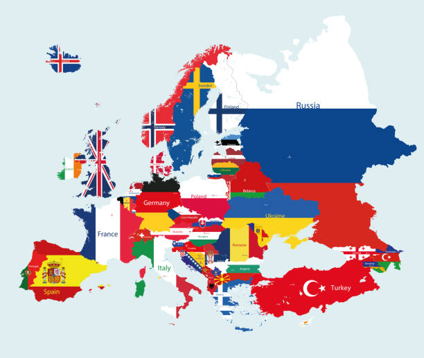
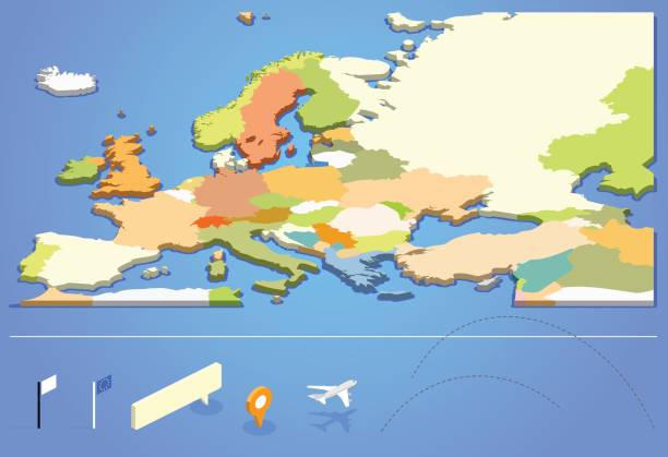
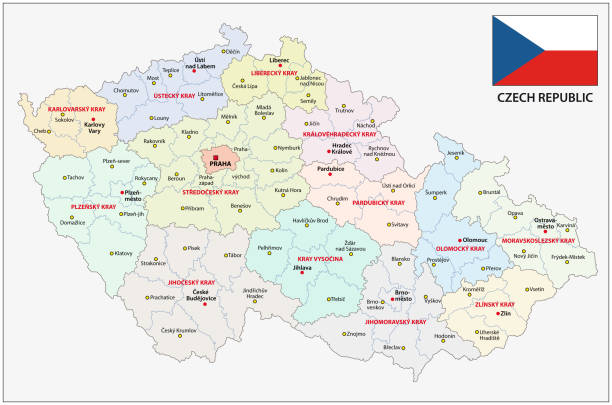
Highly detailed map of Europe with administrative divisions, cities, flag and navigation icons.
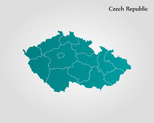
Highly detailed vector map of Czech Republic with states, capitals and big cities.

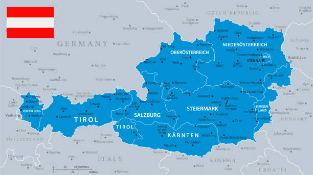
all Flags of regions of Austria. Vector illustraion
© 2025 iStockphoto LP. The iStock design is a trademark of iStockphoto LP. Browse millions of high-quality stock photos, illustrations, and videos.
Do Not Sell or Share