Images
Browse 1,700+ germany flag map stock photos and images available, or start a new search to explore more stock photos and images.

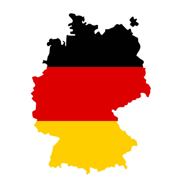
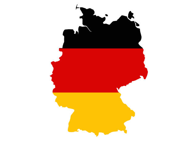
Germany map flag vector illustration eps 10.

German paper flag over more than fifty years old map

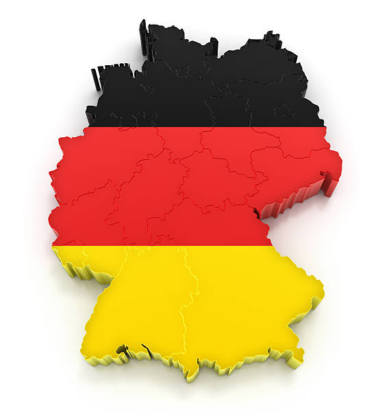
3d isometric Map of Germany with national flag. Vector Illustration.
Our creative library is free of AI-generated contentChoose your visuals with confidence knowing our creative library is free from AI-generated content, so your searches only return safe, high-quality visuals you can trust.


Map and Flag of Germany. Source: "World reference atlas"


Germany - detailed map with country regions. Vector illustration

Germany Map icon set, vector isolated contour illustration.
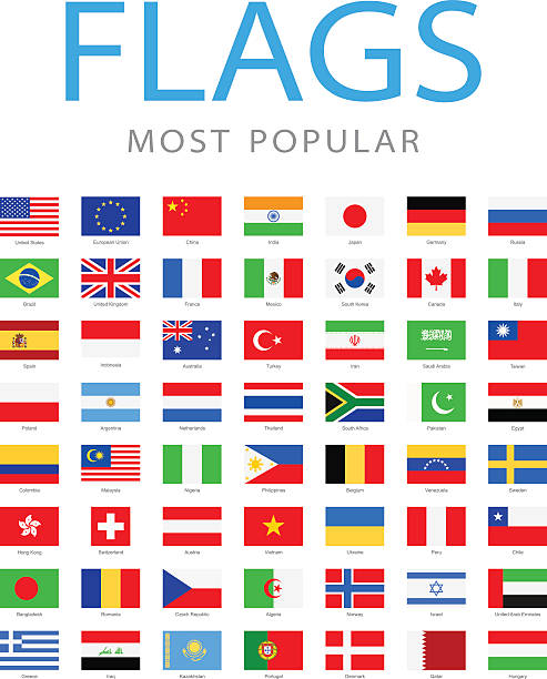
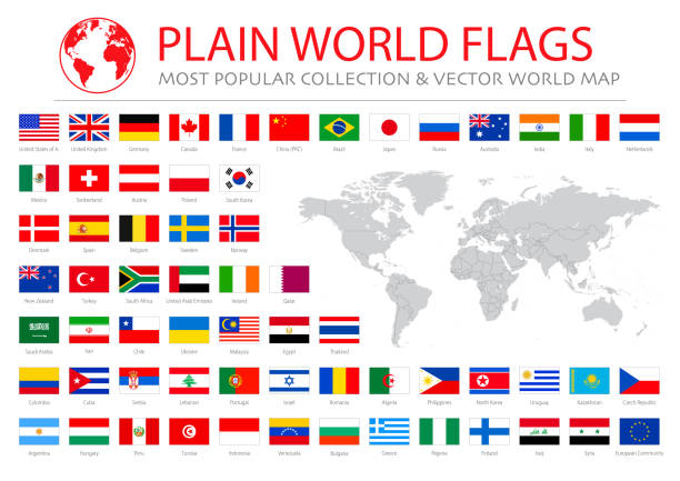
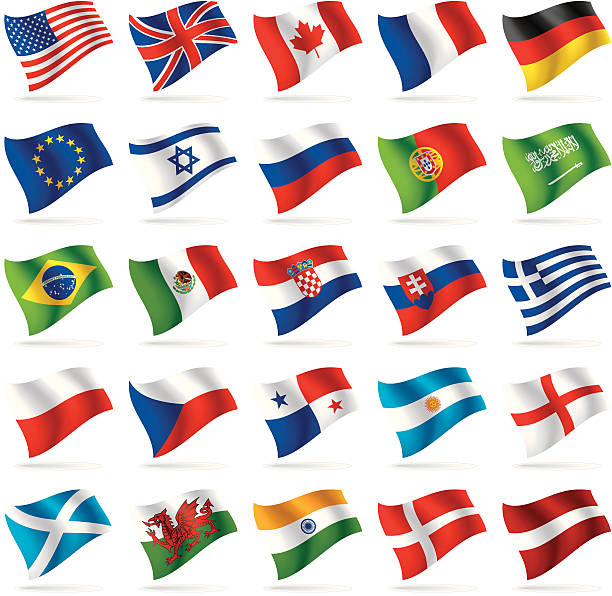
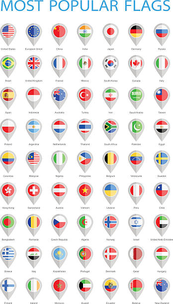
Collection of Most Popular World Flags:

Germany in a Digital World With Binary Data. 3D Render

Germany - Flag inscribed in the contour of the country. Vector illustration.

Germany map silhouette with flag isolated on white background. Simple flat icon illustration for web


A detailed map of the top four greatest States of Europe in the form of flags. Germany, Italy, France, UK.

Federal Republic of Germany. Flag in silhouette of the country. Landmass and borders as outline. Colors of the nation. Black, red and yellow stripes. Isolated. Illustration on white background. Vector

Credit: https://www.nasa.gov/topics/earth/images An illustrative stock image showcasing the distinctive tricolor flag of Germany beautifully draped across a detailed map of the country, symbolizing the rich history and culture

Similar Images of world maps, country maps:


Map of Germany with german flag isolated on white illustration The Federal Republic of Germany, as a federal state, consists of sixteen states. Berlin, Hamburg and Bremen (with its seaport exclave, Bremerhaven) are called Stadtstaaten ( city-states" ), while the other thirteen states are called Flächenländer ( "area states" ) and include Bavaria, Saxony, and Thuringia, which describe themselves as Freistaaten ( "free states" ).
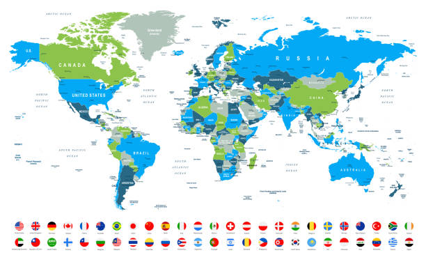
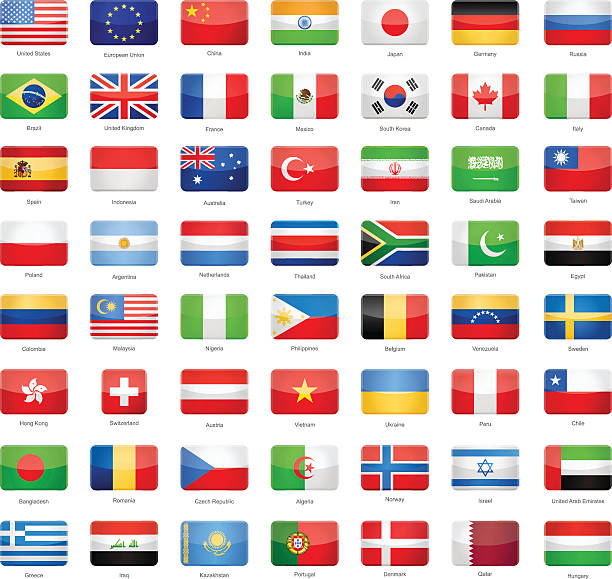
World Map and Most Popular Flags - borders, countries and cities -vector illustration

Human crowd forming a big Germany map on German flag background. Horizontal composition with copy space. Patriotism concept.

Geographical border of Germany textured with German flag. Horizontal composition with clipping path.


Highly detailed map of Europe with administrative divisions, cities, flags.


Polygonal Europe map. World concept. Vector map mesh spheres from flying debris. Thin line concept. Blue structure style illustration


Watercolor Map of Germany, Black, Red, Gold German Map, Schwarz-Rot-Gold Water Painting Stock Vector Illustration
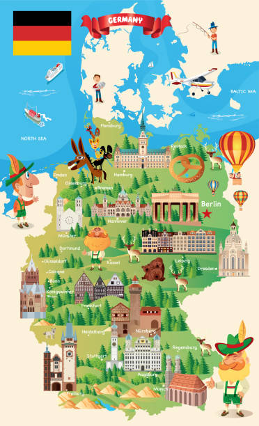
Cartoon Germany Travel Map https://maps.lib.utexas.edu/maps/europe/germany.jpg


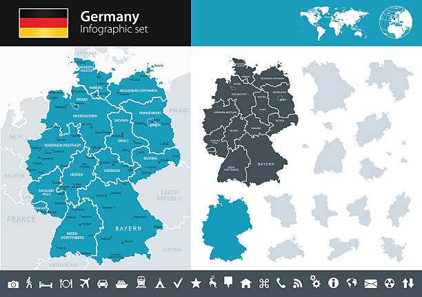
Vector maps of Germany with variable specification and icons
Set of flags and t-shirts kits of the national football team. Soccer team flag icon. European football tournament in Germany. Vector illustration.
vector illustration of Germany map and flag
Vector set of world flags 1

Abstract mash line and point Europe map on white background with an inscription. Starry sky or space, consisting of stars and the universe. Vector world illustration


Vector dotted style map of Germany in dark blue background design sphere and structure

World Map and Most Popular Flags - borders, countries and cities - vector infographic illustration

Outline map of Germany with the national flag superimposed over the country. 3D graphics casting a shadow on the white background

World Map and Most Popular Flags - borders, countries and cities - vector infographic illustration

Set of 16 national flags on map silhouettes of most important countries in the world - Canada, USA, Mexico, Brazil, UK, France, Spain, South Africa, Germany, Italy, Turkey, India, Russia, China, Japan and Australia. Grunge effect added, isolated on white background.
Collection of Most Popular World Flags:


World Map and Most Popular Flags - borders, countries and cities -vector illustration

World Map and Most Popular Flags - borders, countries and cities - vector infographic illustration
of30Next