
Colorfull houses at sunset in the capital of Greenland, Nuuk.
Browse 41,800+ greenland stock photos and images available, or search for greenland shark or greenland map to find more great stock photos and pictures.

Colorfull houses at sunset in the capital of Greenland, Nuuk.

Traditional wooden houses in Kulusuk village, East Greenland
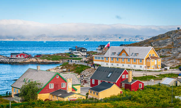
A fog bank covers the far shore and mountains as ice floes float past the colorful buildings and homes in Nuuk, Greenland
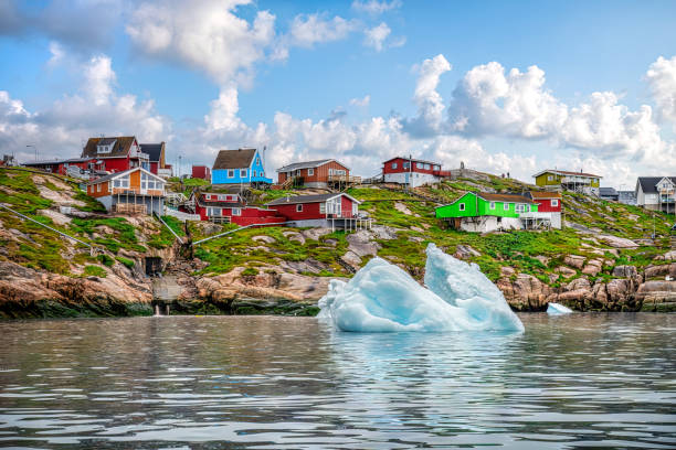
icebergs floating in front of Ilulissat village with colourful houses, View from a boat, Greenland

Aerial view of Ilulissat with icebergs floating in the background
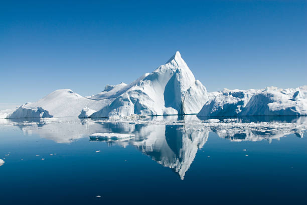
Icebergs drift in calm seas off the Greenland coast.

Aerial view of two Humpback whales (Megaptera novaeangliae) spouting and eating in front of an Iceberg at Ilulissat Icefjord, Affected by climate change and global warming, Greenland
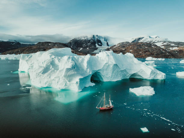
Photo from an expedition with a sailing boat through the beautiful vast landscape of huge icebergs and impressive mountainscapes in East Greenland.

Remote travel destination in Eastern Greenland. Arctic travel destinations.
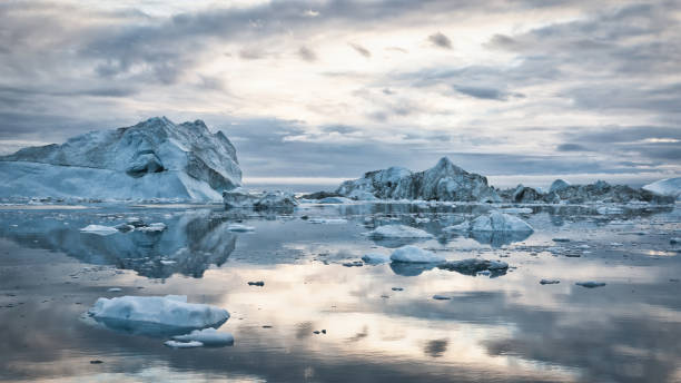
Greenland Arctic Icebergs Sunset Twilight Panorama. Large arctic Iceberg drifting on the polar waters under moody sunset skyscape, cloudscape mirroring in the calm water. Arctic Ocean, Illulissat, Greenland, Denmark, North Polar Region
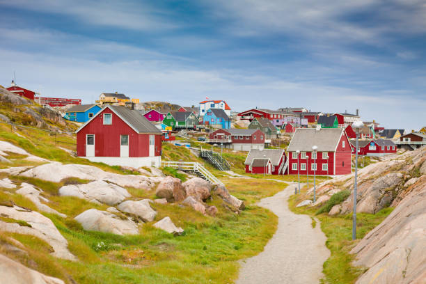
Ilulisaat colorful houses city - town view along sandy footpath between rocky landscape under blue summer skyscape. Ilulissat, Western Greenland, Greenland, Europe.
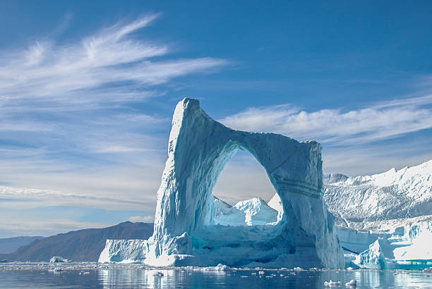
A beautiful arch iceberg in Greenland.
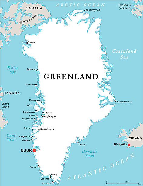
Greenland Political Map with capital Nuuk and important cities. Autonomous country within the Kingdom of Denmark. English labeling and scaling. Illustration.
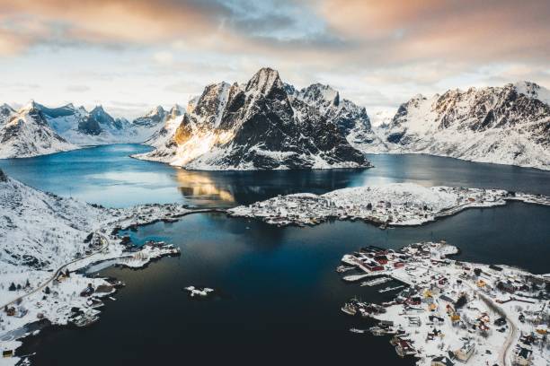
A bird's-eye shot of a shore town near a body of water with snowy mountains in the background
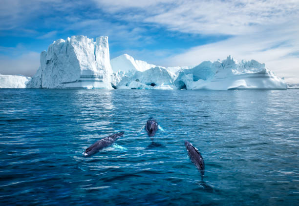
Greenland, Ilulissat, Aerial view of two Humpback Whales and young calf swimming among icebergs from Ilulissat Kangerlua Glacier in Jakobshavn Icefjord on summer afternoon
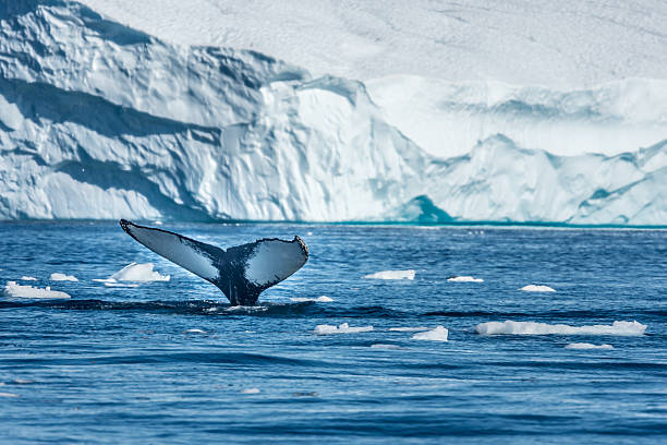
Humpback whales merrily feeding in the rich glacial waters among giant icebergs at the mouth of the Icefjord, Ilulissat, Greenland
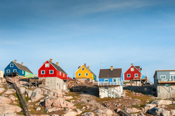
Colorful houses on the shore of Atlantic ocean in Ilulissat, western Greenland. Summer landscape
Vector illustration of two blue Greenland icons.
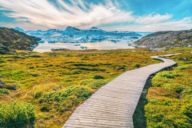
Hiking trail path in Greenland arctic nature landscape with icebergs in Ilulissat icefjord. Photo of scenery ice and iceberg in Greenland in summer.
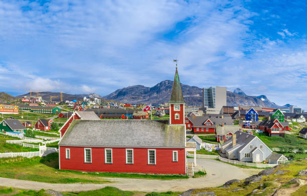
Typical architecture of Greenland capital Nuuk with colored houses located near fjords and icebergs.
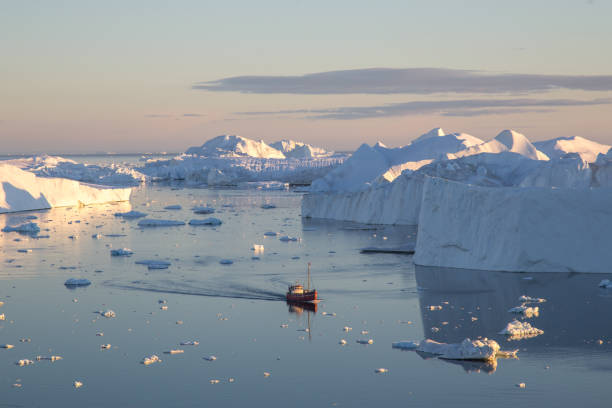
Ilulissat, Greenland - July 7, 2018: A red fishing boat sailing in between icebergs on Ilulissat Icefjord.

Ilulissat is a settlement in West Greenland nearby one of biggest ice fjords in the country. The colorful houses make the landscape of this little village unbelievable beautiful. It's hard to imagine by looking at this photo that this is located in that part of the world.
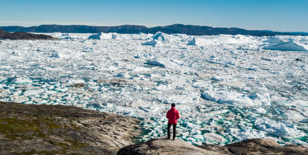
Travel in arctic landscape nature with icebergs - Greenland tourist man explorer - tourist person looking at amazing view of Greenland icefjord - aerial drone image. Man by ice and iceberg, Ilulissat.
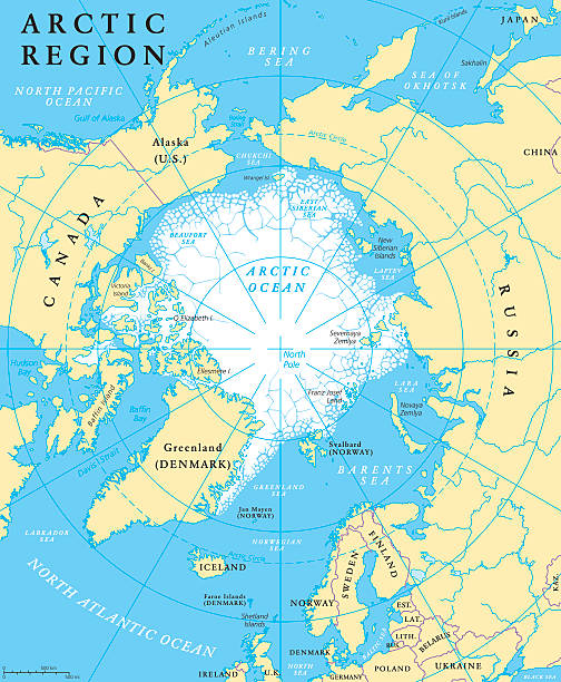
Arctic region map with countries, capitals, national borders, rivers and lakes. Arctic Ocean with average minimum extent of sea ice. English labeling and scaling. Illustration.

Abstract - High Detailed blue Map of Greenland isolated on white background. for your web site design map logo, app, ui, Travel. Vector illustration eps10.
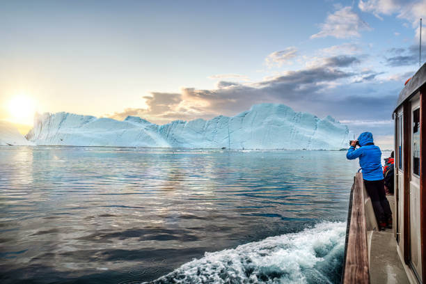
Tourists in a boat in front of an iceberg taking photos at midnight sun sunset, Ilulissat Icefjord, Disko bay, Greenland
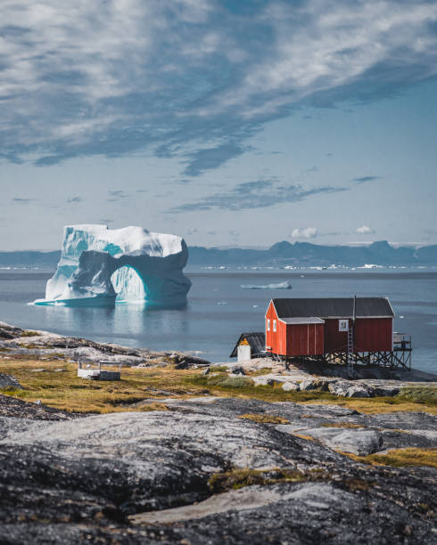
iceberg with an arch in Antarctic waters against the backdrop of the mountains of the Antarctic Peninsula on a cloudy day

Reds and yellows of Autumn vegetation in the Tundra near Dronning Marie Dal are the foreground to calm waters of fjord near Skoldungen, East Greenland.

Colorful inuit houses in a suburb of arctic capital Nuuk

GREEN CMYK color detailed flat stencil map of the European country of GREENLAND on transparent background

Icebergs in Atlantic ocean at sunset. Ilulissat icefjord, western Greenland.. Blue ocean and the pink sky with clouds. Summer seascape
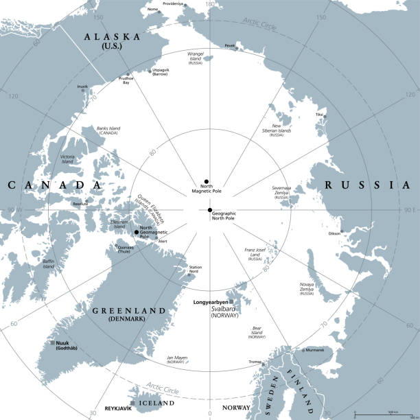
Arctic region, gray political map. Polar region around North Pole of Earth. The Arctic Ocean region, with North Magnetic Pole and North Geomagnetic Pole, longitudes and latitudes. Illustration. Vector

Polar Bear (Ursus maritimus) on an iceberg in Northwest Fjord in eastern Greenland.
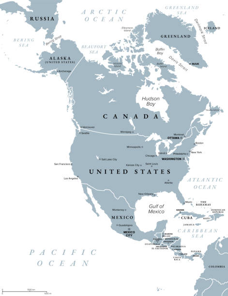
North America, gray political map. Continent bordered by South America, Caribbean Sea, and by the Arctic, Atlantic and Pacific Ocean. The largest countries are Canada, the United States, and Mexico.
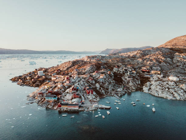
This panorama photo shows a fishing village in the bay of Tasiilaq in East Greenland from above at sunset.
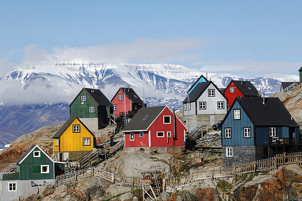
Colourful houses on the island of Uummannaq GreenlandUummannaq is located 590 kilometres north of the Arctic Circle
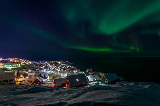
Greenlanic Northern lights, nearby Nuuk, Greenland

Aurora borealis illuminates skier and homes
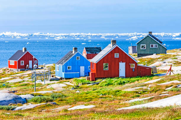
This settlement is located on a small peninsula jutting off the mainland into eastern Disko Bay, 22.5 km north of Ilulissat. It had 46 inhabitants in 2010
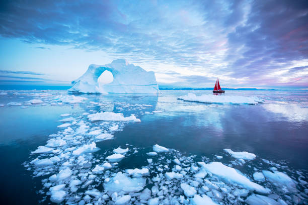
Sail boat with red sails cruising among ice bergs during midnight sun season. Disko Bay, Greenland.
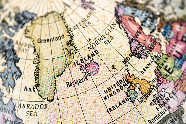
Close-up of Iceland in the colorful world map.

iceberg floating in greenland fjord at night with green northern lights.