Images
Browse 19,000+ india map outline stock photos and images available, or start a new search to explore more stock photos and images.
Vector illustration of two blue India icons.

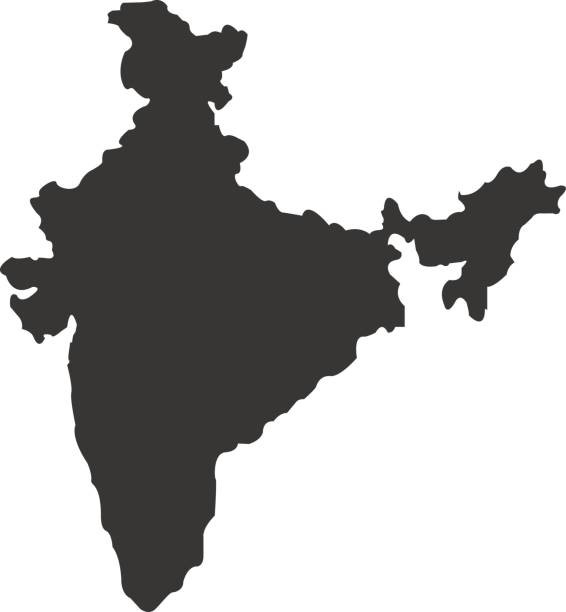
vector of the India map
Our creative library is free of AI-generated contentChoose your visuals with confidence knowing our creative library is free from AI-generated content, so your searches only return safe, high-quality visuals you can trust.

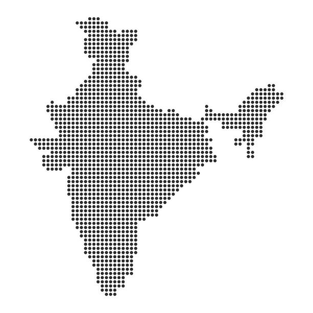
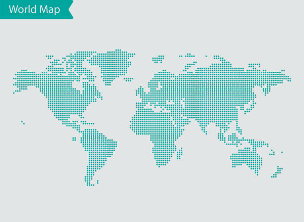
Map of India made with round blue dots on a blank background. Original mosaic illustration. Vector Illustration (EPS10, well layered and grouped). Easy to edit, manipulate, resize or colorize. Please do not hesitate to contact me if you have any questions, or need to customise the illustration. http://www.istockphoto.com/portfolio/bgblue
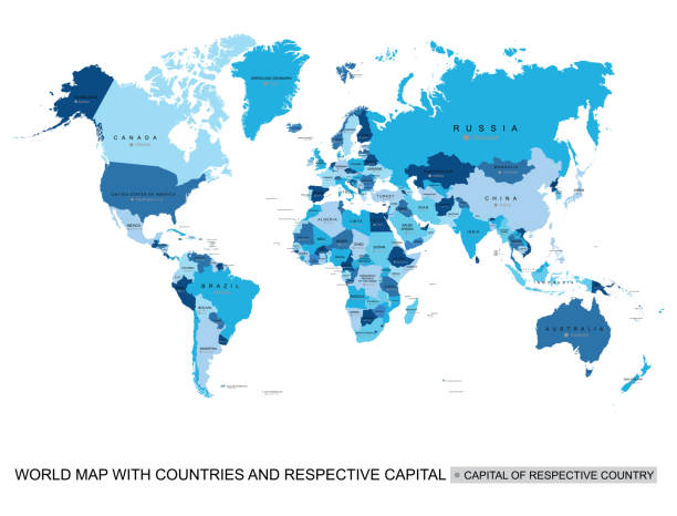
Print map of world for t-shirt, poster or geographic themes. Hand-drawn colorful map with states and capital names. Vector modern Illustration.Detailed illustration map shape can be use for presentation,chart,template and report.white background.
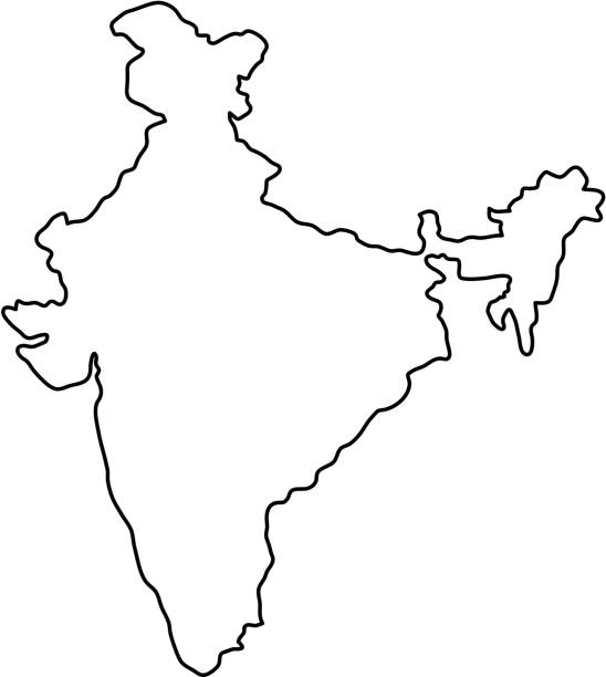
doodle freehand drawing of india map. vector illustration.

Map of India for your own design. Three maps with editable stroke included in the bundle: - One black map on a white background. - One line map with only a thin black outline in a line art style (you can adjust the stroke weight as you want). - One map on a blank transparent background (for change background or texture). The layers are named to facilitate your customization. Vector Illustration (EPS file, well layered and grouped). Easy to edit, manipulate, resize or colorize. Vector and Jpeg file of different sizes.


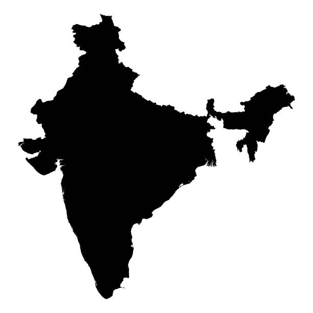
Highly detailed India map with borders isolated on background. Flat style


abstract hand drawn world map line art
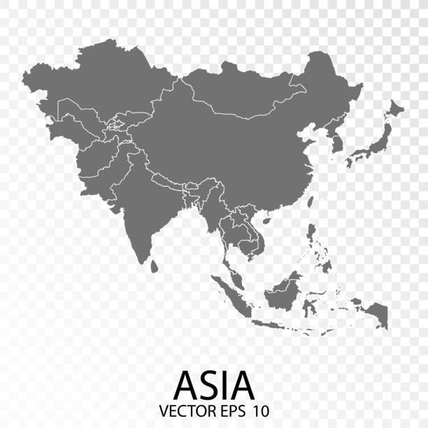
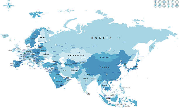
Transparent - High Detailed Grey Map of Asia. Vector eps10.
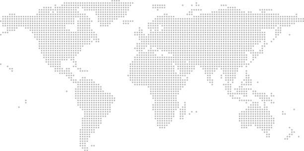
This abstract dotted map of World is accurately prepared using the overlaid vector map of the World with highly detailed information.


3D map of India isolated on a blank and gray background, with a dropshadow. Vector Illustration (EPS10, well layered and grouped). Easy to edit, manipulate, resize or colorize.
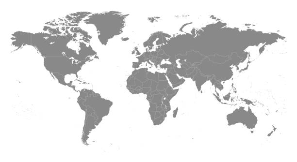
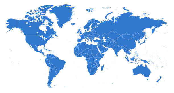
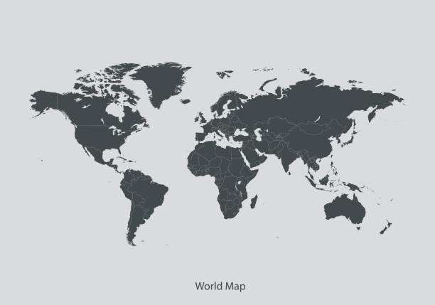
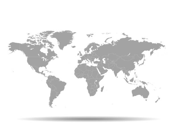
Highly detailed vector World map, with gray countries and white borders on a white background. High detail vector illustration

India map geometric mesh polygonal light. Business wireframe mesh spheres from flying debris blue structure style. Vector illustration EPS10
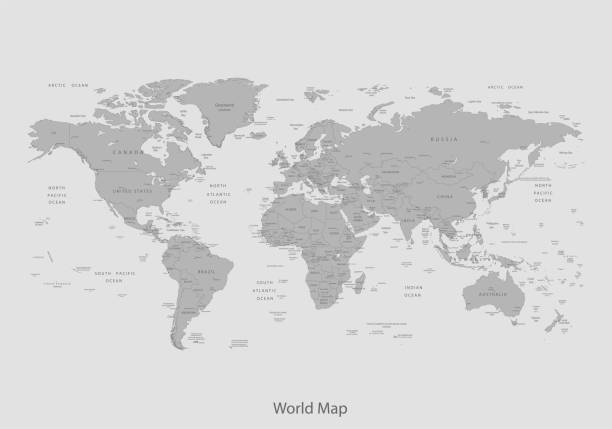
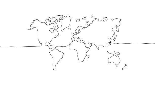
vector of the World Map map
vector of the world map map
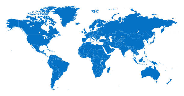
vector of the World map

India map with Indian flag , Tricolor flag of India has colors like Saffron , White and Green along with Ashoka Chakra respectively .
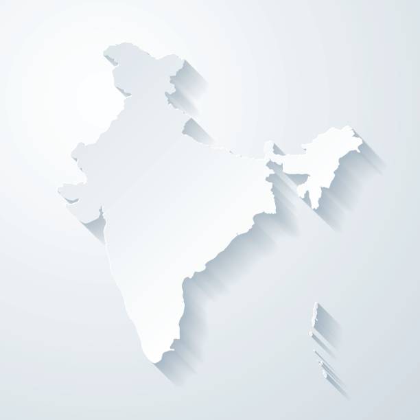
Map of India with a realistic paper cut effect isolated on white background. Vector Illustration (EPS10, well layered and grouped). Easy to edit, manipulate, resize or colorize. Please do not hesitate to contact me if you have any questions, or need to customise the illustration. http://www.istockphoto.com/bgblue/
Map with dot - India . Template for your design

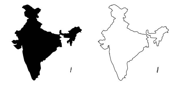
High detailed map - India

Country Maps Icon Set Editable Stroke. Pixel Perfect. The set contains icons: Icon Symbol, USA, France, Map, UK, Germany, World Map, Cartography

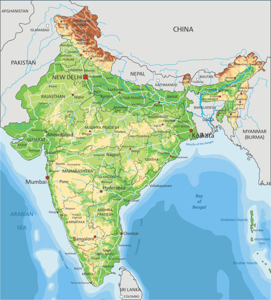
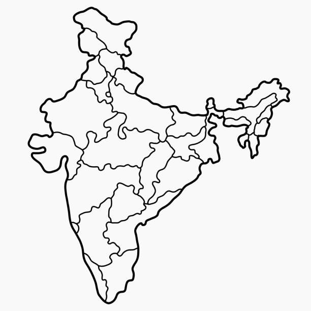
High detailed India physical map with labeling. Organized vector illustration on seprated layers.


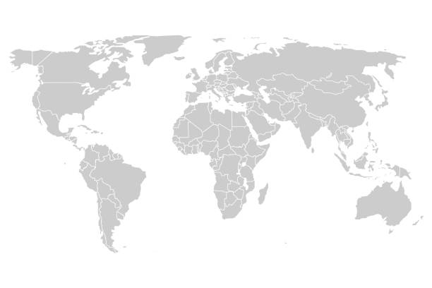
outline of the world map in gray color on a white backgrounds.vector illustration
Vector of highly detailed world map - each country outlined and has its own labeled layer - The url of the reference file is : http://www.lib.utexas.edu/maps/world.html - 1 layer of data used for the detailed outline of the land


vector of the India map


Single colored isolated outline icons of the earth from nine positions

Transparent - High Detailed Grey Map of India. Vector Eps 10.
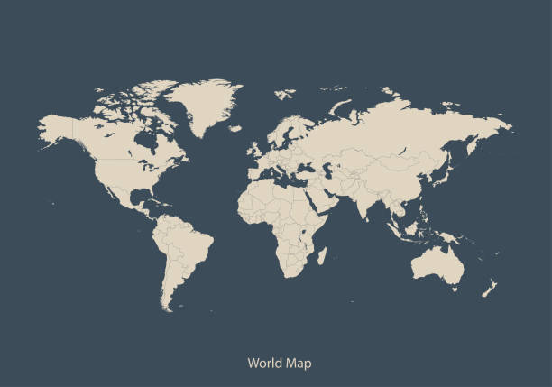
vector of the World map
South Asia Region. Map of countries in southern Asia. Vector illustration.

India vector map. Editable template with regions, cities, red pins and blue surface on white background.

White map of India isolated on a trendy color, a blue green background and with a dropshadow. Vector Illustration (EPS10, well layered and grouped). Easy to edit, manipulate, resize or colorize.

A white India map. Hires JPEG (5000 x 5000 pixels) and EPS10 file included.
vector of the World map

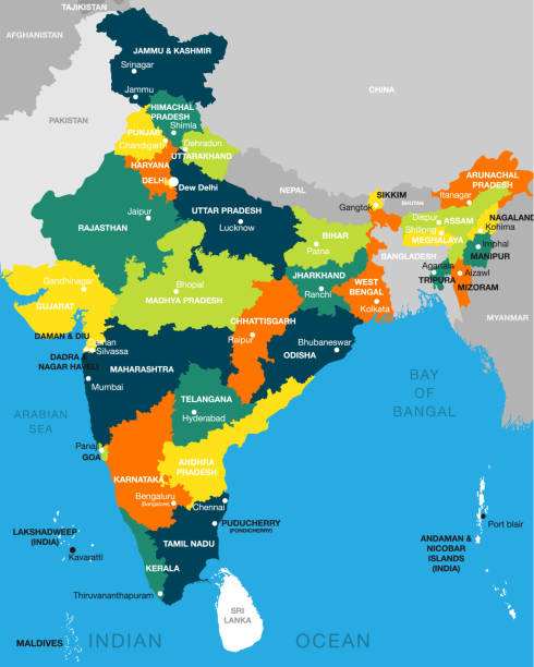
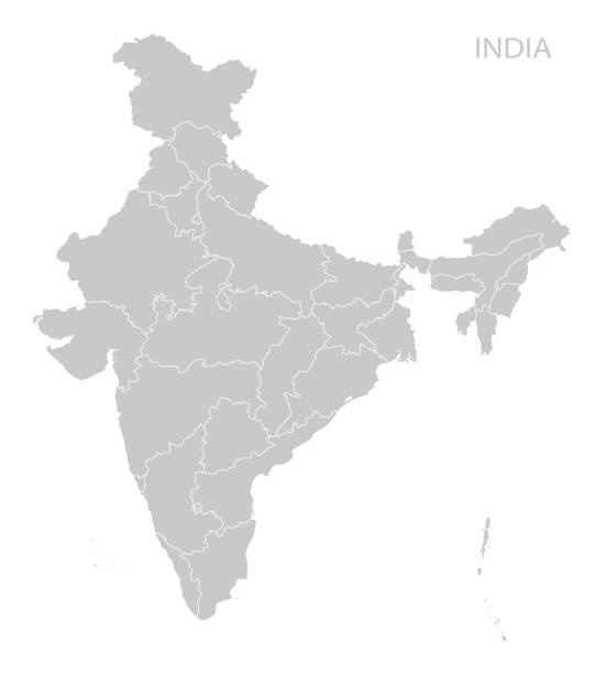
illustration of detailed map of India, Asia with all states and country boundary
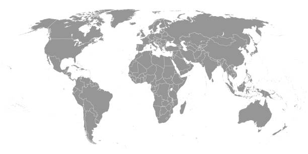
Detailed Vector Illustration World Map. Reference: http://www.lib.utexas.edu/maps/world.html (Public Domain PCL Map Collection).

Map of India created with a mesh of thin bright blue lines and glowing dots, isolated on a dark blue background. Conceptual illustration of networks (communication, social, internet, ...). Vector Illustration (EPS10, well layered and grouped). Easy to edit, manipulate, resize or colorize.
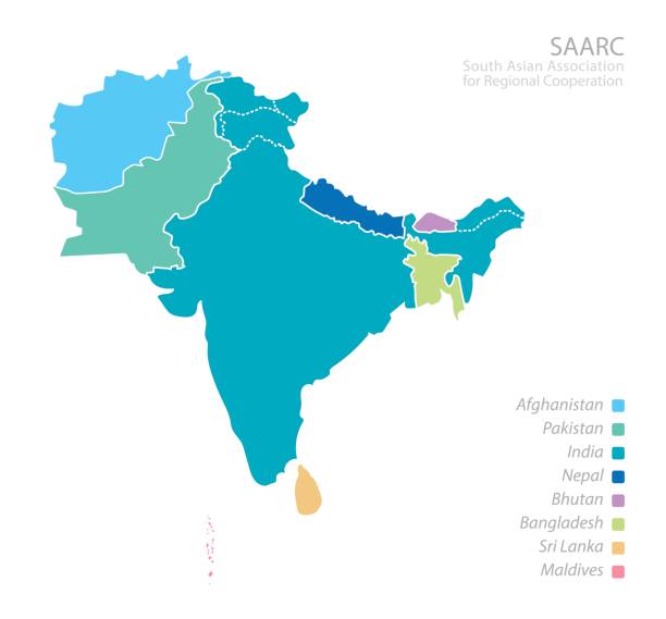
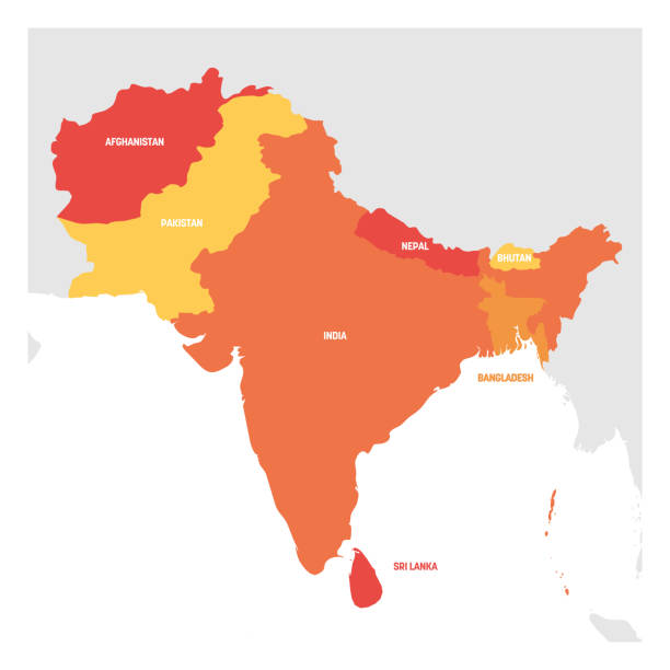
Map of South Asian Association for Regional Cooperation (SAARC). Vector.

of100Next