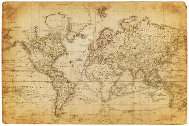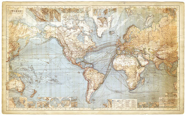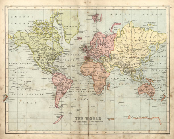
Vintage engraving of a Victorian Antique map of the world, 1873
Browse 10,700+ old fashioned world map stock illustrations and vector graphics available royalty-free, or start a new search to explore more great stock images and vector art.
Vintage engraving of a Victorian Antique map of the world, 1873

Old Vintage Retro World Map - Vector illustration
Vector antique world map with countries boundaries. Antique world vintage map, grunge america and europe illustration
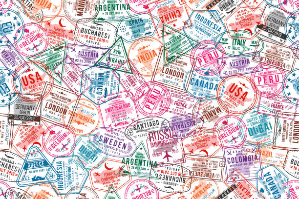
Passport visa stamps, seamless pattern. International and immigration office rubber stamps. Traveling and tourism concept background. Vector

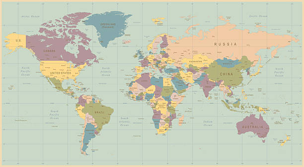
Detailed retro political World Map. Highly detailed vector illustration of World Map.
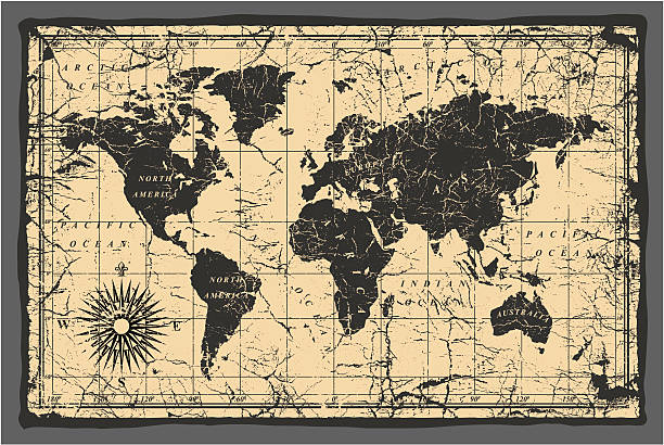
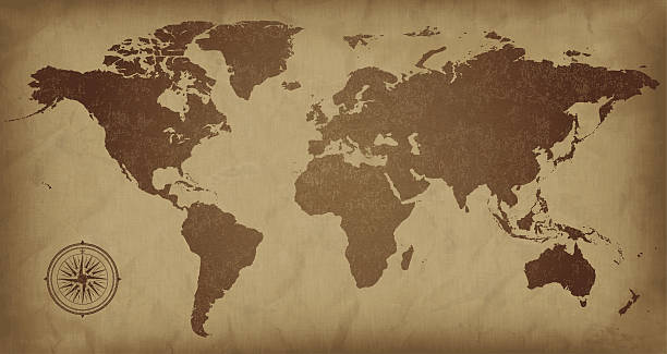
Old World Map - Vector Illustration Source map references: hhttp://www.lib.utexas.edu/maps/world_maps/time_zones_ref_2011.pdf http://www.lib.utexas.edu/maps/world_maps/txu-oclc-264266980-world_pol_2008-2.jpg (some cities) Creation date: March 10, 2016 Software: Adobe Illustrator CS5 Used layers: 1 (detailed outline of the map)

Cornell's Grammars-School Geography - S.S. Cornell - New York D. Appleton and Company 1869
Old world map in vintage style. Political vintage golden world map.Vector stock
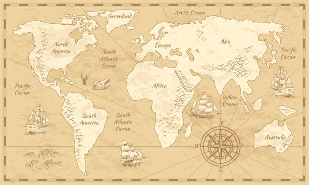
Vintage world map. Ancient world antiquity paper map with continents ocean sea old sailing vector background
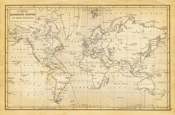
antique map of the world (a chart of magnetic curves of equal variation) - 1844
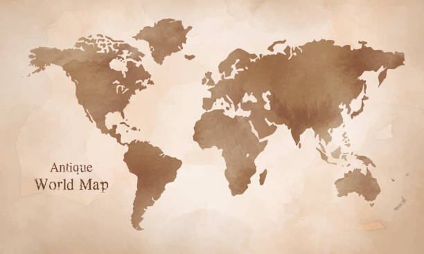
A world map on aged paper. Files included – jpg, ai (version 8 and CS3), svg, and eps (version 8)

Vintage World Globe Map of the Earth. This is a stylised editable EPS file of a globe of the world. This file also includes a highly detailed world map traced manually in Illustrator CS3 and supplied as Illustrator 8 eps vector illustration on 1 layer. Created on 19/06/2010. Operating system: OSX 10.5.8. Map reference from The University of Texas at Austin - http://www.lib.utexas.edu/maps/world_maps/time_zones_ref_2005.pdf

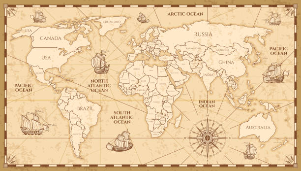
Antique world map. Vintage compass and retro ship on ancient marine map. Old countries boundaries earth geography antiques navigation cartography west coast and north america vector illustration
Appleton's American Standard Geography 1881
An antique map of the world, scanned from a XVIII century original.
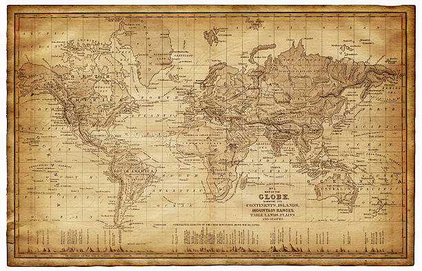
map of the world 1867 - showing the continents, islands, plains, lands and mountain range

Map of World in a trendy vintage style. Beautiful retro illustration with old textured paper (colors used: blue, green, beige and red). Vector Illustration (EPS10, well layered and grouped). Easy to edit, manipulate, resize or colorize. Vector and Jpeg file of different sizes.

Old vintage map of Mediterranean sea, pirate sailing and treasure island, antique vector. Map of Mediterranean sea with fantasy monsters and seafaring ship plan in Europe with compass wind rose
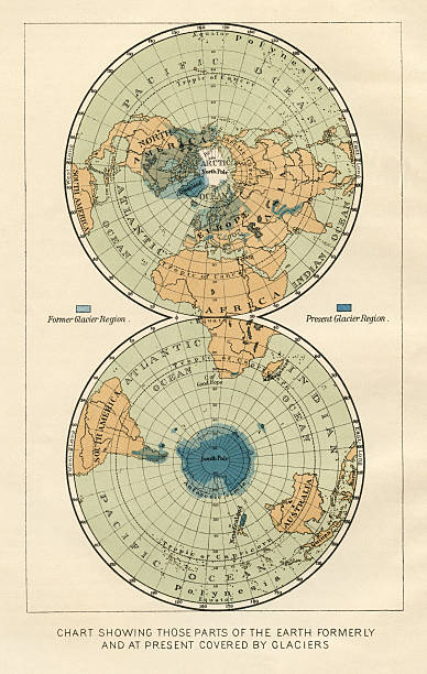
antique world map from 1887 showing former and present glacier regions.original engraving by F.Temsky, Prague 1887.
Vintage World Map in wood frame.

map of the world from an old atlas (1816) - composite with a couple of sepia stained grunge papers
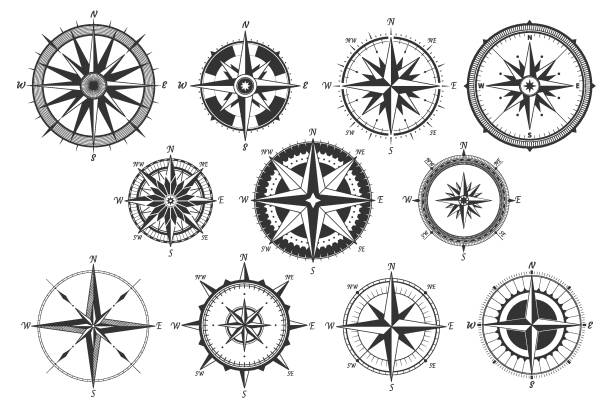
Vintage compass. Nautical map directions vintage rose wind. Retro marine wind measure. Windrose compasses vector icons isolated

Vector old globe, map of world with new discoveries and decoration with nymphs

Map of World in vintage style. Beautiful illustration of antique map on an old textured paper of sepia color. Old realistic parchment with a compass rose, lines indicating the different directions (North, South, East, West) and a frame used as scale of measurement.Vector Illustration (EPS10, well layered and grouped). Easy to edit, manipulate, resize or colorize. Please do not hesitate to contact me if you have any questions, or need to customise the illustration. http://www.istockphoto.com/portfolio/bgblue

Map of World in a trendy vintage style. Beautiful retro illustration with old textured paper and light rays in the background (colors used: blue, green, beige and black for the outline). Vector Illustration (EPS10, well layered and grouped). Easy to edit, manipulate, resize or colorize.
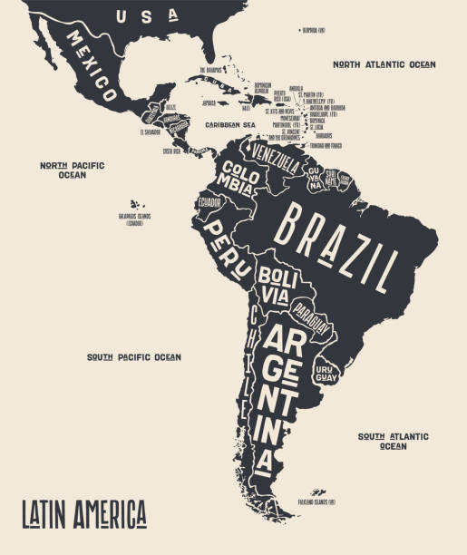
Map Latin America. Poster map of Latin America. Black and white print map of Latin America for t-shirt, poster or geographic themes. Hand-drawn graphic map with countries. Vector Illustration
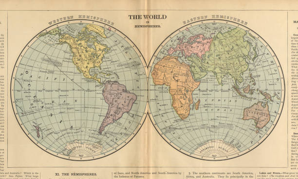
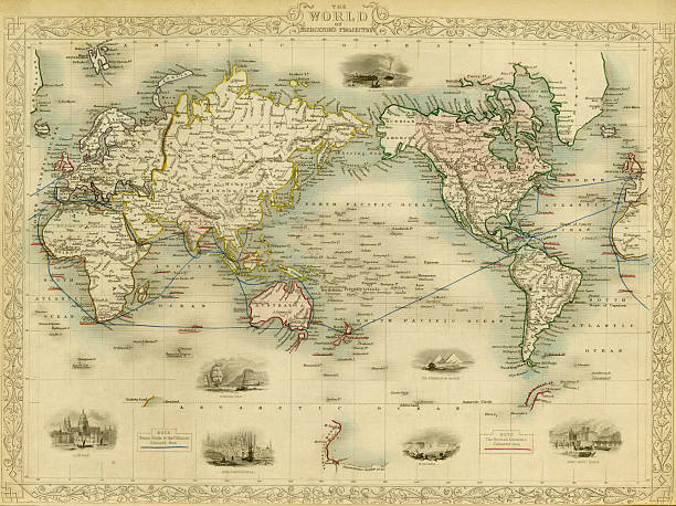
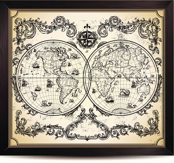
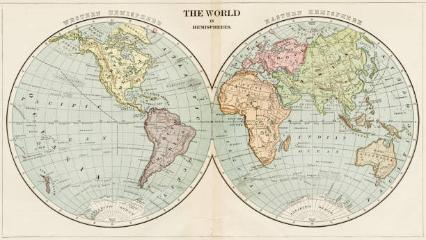
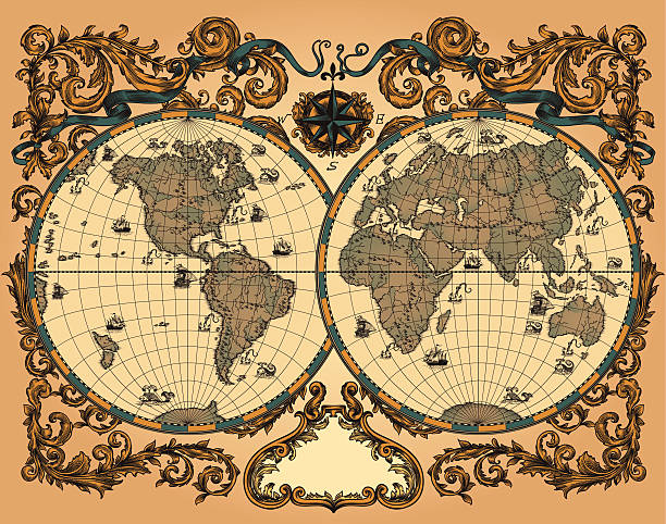
Very Rare, Beautifully Illustrated Antique Victorian Engraved Colored Map of The World in Hemispheres, Published in 1899. Source: Original edition from my own archives. Copyright has expired on this artwork. Digitally restored.
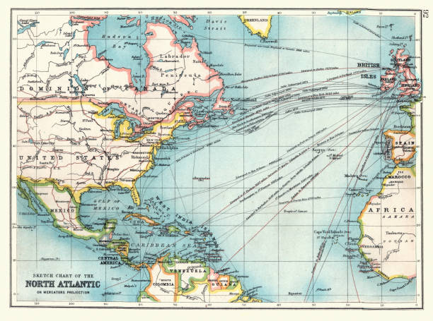
Vintage illustration Old Sketch chart of the North Atlantic on Mercator projection, Shipping routes, Europe, North and South America, 1890s, 19th Century
Compass wind rose hand drawn vector design element.

World Map of Rain Precipitation Chart. Color. Illustration published in Physical Geology by Mytton Maury (University Publishing Company, New York and New Orleans) in 1894. Copyright expired; artwork is in Public Domain. Digitally restored.
Vector illustration isolated on white background

A decorative compass rose from a XVI-century map. Very high resolution scan at 600 dpi.
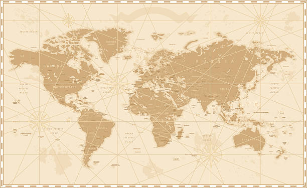
Old retro World Map with lakes and rivers. Highly detailed vector illustration of large political World Map.

Vector illustration. Marine pattern on the theme of travel, hand drawing with ships and fish.
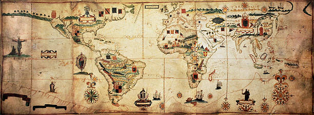
Antique world planisphere portolan map of Spanish and Portuguese maritime and colonial empire. Created by Antonio Sanches, published in Portugal, 1623
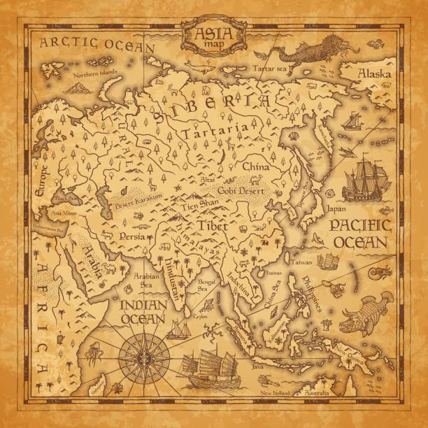
Vintage map of Asia, vector ancient parchment with asian continent with mountain ranges, rivers and lakes names, ocean wind rose, mythological sea beasts, ship, medieval territory on aged old paper
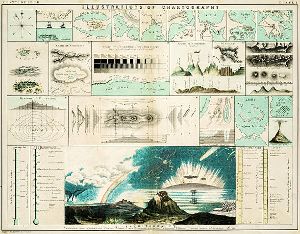
Illustrations of Cartography - samples of geographical features such a seas, oceans, mountains, gulf, woodlands

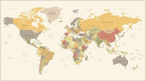
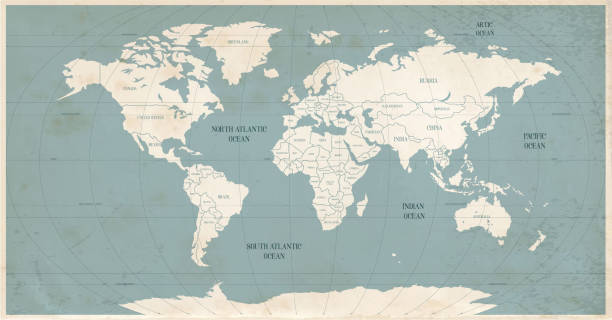
Vintage color political World Map.All elements are separated in editable layers clearly labeled.

Around the world poster. Vector illustration.
Maury’s Geographical Series Manual of Geography - New York 1899

Wordl map drawn on aged paper vector illustration.

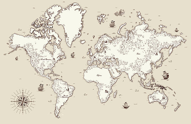
Vintage worldmap with inscription greenland, north america, south america, africa, europe, asia, australia, russia drawing on yellow paper background.
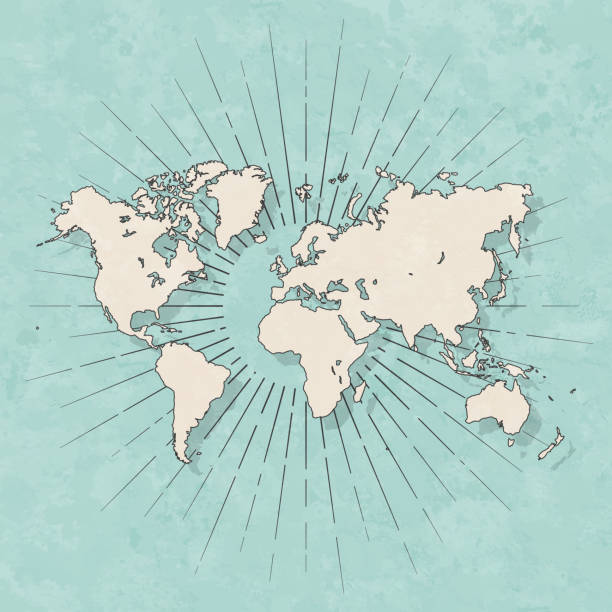
Map of World in a trendy vintage style. Beautiful retro illustration with old textured paper and light rays in the background (colors used: blue, green, beige and black for the outline). Vector Illustration (EPS10, well layered and grouped). Easy to edit, manipulate, resize or colorize.
"Antique world map in vector, decorated with patterns and old nautical symbols."

Vector fantasy map with baroque decorative frame and mythology creatures. Hand drawn graphic illustration, old transportation background in vintage style