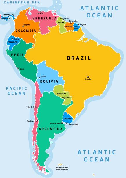
South America political division map - vector illustration.
Browse 280+ southamerica map stock illustrations and vector graphics available royalty-free, or start a new search to explore more great stock images and vector art.
South America political division map - vector illustration.

South America Continent map geometric mesh polygonal light. Business wireframe mesh spheres from flying debris blue structure style. Vector illustration EPS10

South America Map - Detailed Info Graphic Vector Illustration

vector of the South America map

Detailed South America map with countries and capital against white background

South America Map - Detailed Info Graphic Vector Illustration

South America Continent Map in colorful halftone gradients. Future geometric patterns of lines abstract on white background. Vector illustration EPS10

South America Map - Vintage Detailed Vector Illustration

vector map of the South America
Abstract graphic South America map from pixel blue on a white background. Vector illustration.

South America Map - Detailed Vector Illustration

vector map of the South America

South America Continent map created from lines and bright points in the form of starry sky with polygonal wireframe mesh and connected lines on dark blue background. Vector illustration EPS10

Abstract graphic South America map from point Black on a white background. Vector illustration eps 10.

South America Map - Detailed Vector Illustration

vector map of South America

South America Map - Detailed Vector Illustration

Business map of South America Continent modern design with abstract digital technology mesh polygonal shapes on dark blue background. Vector Illustration EPS10

South America Map - Vintage Detailed Vector Illustration

South America political division map - vector illustration.

vector map of the South America

Guyot's Geographical Series "The Earth and its inhabitants" 1867 New York

South-america Map. admirable low poly style continent map. Astonishing vector illustration.

South America Map - Vintage Detailed Vector Illustration

Map of South America - Blue Geometric Rumpled Triangular , Polygonal Design For Your. Vector illustration eps 10.

South America map - concept of communication technology, graphic of low poly. Vector Illustration Eps 10.

Abstract Mash Line and Point Scales on The Dark Gradient Background With Map of South America. 3D Mesh Polygonal Network Connections. Vector illustration eps 10.

South America Map - Vintage Detailed Vector Illustration

South America Map - Vintage Detailed Vector Illustration

vector map of the South America

vector map of South America

vector map of the South America

Countries of South America with borders, flags and capitals. Argentina, Bolivia, Brazil, French Guiana, Colombia, Ecuador, Falkland Islands, Chile.

Map of South America with its nationals peculiarities and animals

vector map of the South America

South America Continent Map - Abstract polygon vector illustration low poly colorful style gradient graphic on white background

Guyot's Geographical Series "The Earth and its inhabitants" 1867 New York

South America political division map - vector illustration.

South America Continent Map radial dotted pattern in futuristic style, design blue circle glowing outline made of stars. concept of communication on dark blue background. Vector illustration EPS10

South America Continent Map modern design with polygonal shapes on dark blue background. Business wireframe mesh spheres from flying debris. Blue structure style vector illustration concept

vector map of South America

South-america Map. admirable low poly style continent map. Creative vector illustration.

South-america Map. admirable low poly style continent map. Beautiful vector illustration.

South-america Map. admirable low poly style continent map. Breathtaking vector illustration.

Abstract High Detailed Glow Blue Map on Dark Background of Map of South America symbol for your web site design map logo, app, Travel. Vector illustration eps 10.


