Wold Map on Night Sky Universe, Global Network and Communications Concept
Browse 5,100+ africa dark map stock photos and images available, or start a new search to explore more stock photos and images.
Wold Map on Night Sky Universe, Global Network and Communications Concept

Old globe on bookshelf background. Selective focus. Retro style. Science, education, travel, vintage background. History and geography team.

World map city lights and dark motherboard hi technology conceptual collage. Elements of this image furnished by NASA. /url: https://images.nasa.gov/details-PIA02991.html /
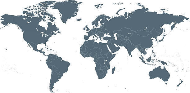
Empty Dark Gray World Map - illustration

Africa Continent map geometric mesh polygonal light. Business wireframe mesh spheres from flying debris blue structure style. Vector illustration EPS10

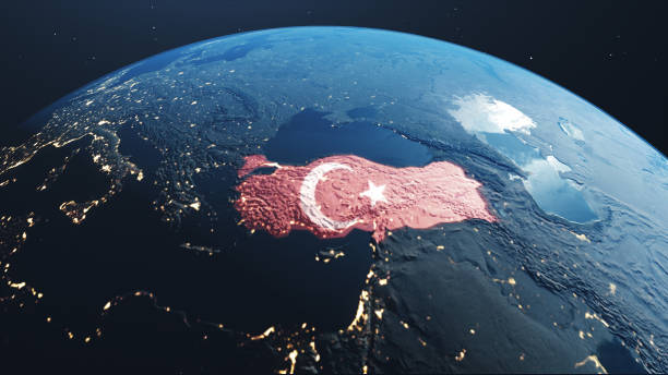
Earth photo at night, City Lights of Europe, Middle East, Turkey, Italy, Black Sea, Mediterrenian Sea from space, World map globe. Satellite HD photo. Elements of this image furnished by NASA.

Outline map of Africa infographics with data charts representing communication, internet and technology

Earth night map. illustration of cities lights from space. Dark map

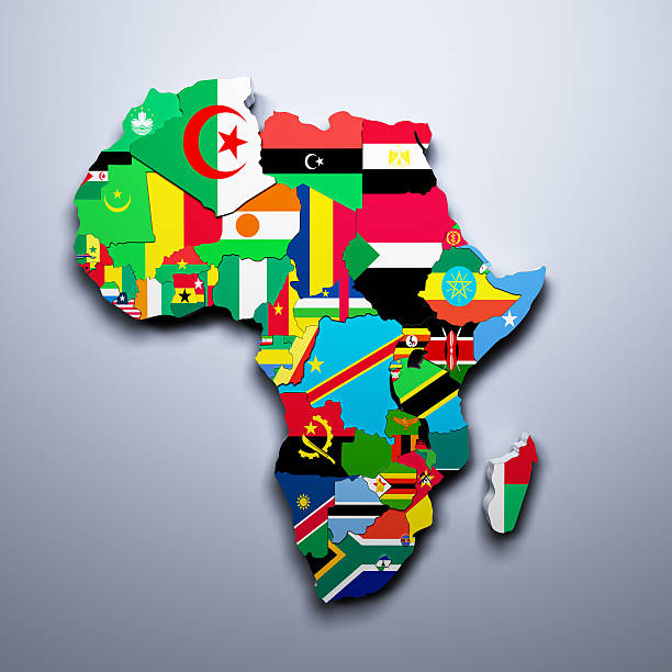
Political map of Africa. Blue colored land with country name labels on white background. Ortographic projection. Vector illustration
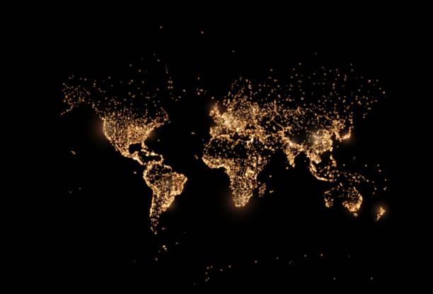
Earth night map. Vector illustration of cities lights from space. Dark globe map
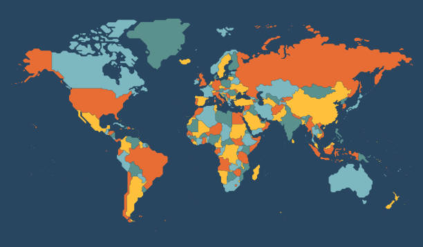
High Detailed World Map Color - borders, countries and cities - vector illustration

Earth night space with some clouds City Lights Bokeh 3D illustration (Blender software) Elements of this image furnished by NASA (https://eoimages.gsfc.nasa.gov/images/imagerecords/73000/73776/world.topo.bathy.200408.3x5400x2700.jpg)

Earth at night showing human settlements and political borders glowing in the dark

Three dimensional dotted globe abstract background, Geometric world maps, Abstract image of the globe. Vector Illustration Eps-10.

Map of the World - Highly Detailed Vector illustration

Outline map of Africa infographics with data charts representing communication, internet and technology
Africa map isolated on white background. World map vector illustration .

Abstract, Network connection, Line, Dot, Background, World Map, Particles, Glow, Neon

Map of Africa created with a mesh of thin bright blue lines and glowing dots, isolated on a dark blue background. Conceptual illustration of networks (communication, social, internet, ...). Vector Illustration (EPS10, well layered and grouped). Easy to edit, manipulate, resize or colorize.

South Africa dotted map in futuristic style, glowing outline made of stars lines dots. Communication, internet technology concept on dark blue background. Vector illustration EPS10

Amazing Planet Earth. Europe, Near East and Africa at night viewed from space with city lights. Beautiful Dark background. Space wallpaper. This image elements furnished by NASA. ______ Url(s): https://www.nasa.gov/solar-system/nine-reasons-were-grateful-to-live-on-earth/ https://svs.gsfc.nasa.gov/30028 Adobe Photoshop CC 2023. Knoll light factory. Adobe After Effects CC 2021.

Clean and shiny lightbulb with Africa as a glowing wire.(series)

Abstract world map. Blue map of the earth from the square points. Dark background. Blue glow. High tech. Sci-fi technology. Global network. Vector

A 3D render made with "Blender" on 1st May, 2013, using publicly available textures from NASA:
Africa shaped from golden glitter on a black background (series)

Abstract High Detailed Glow Blue Map on Dark Background of Map of Africa symbol for your web site design map logo, app, Travel. Vector illustration eps 10.

Africa continent dark blue highlighted silhouette on Earth globe. Vector illustration

Africa Map Network Mesh. Global Colors used, so you can easily change the base colors with just a few clicks. The colors in the .eps-file are in RGB. Transparencies used. Included files are EPS (v10) and Hi-Res JPG (3472 x 3472 px).

Africa Continent Map modern design with polygonal shapes on dark blue background. Business wireframe mesh spheres from flying debris. Blue structure style vector illustration concept
Empty Dark Gray Map of Middle East Asia - illustration

Africa map isolated on white background. World map vector illustration .

Geographical map of Ethiopia covered by a background of roasted coffee beans. This nation is between the five main producers and exporters of coffee. Horizontal image.

World minimal map with dark colors. Organized vector illustration on seprated layers.
High quality 3D rendered image, made from ultra high res 20k textures by NASA: https://visibleearth.nasa.gov/images/55167/earths-city-lights, https://visibleearth.nasa.gov/images/73934/topography, https://visibleearth.nasa.gov/images/57747/blue-marble-clouds/77558l

That extra dedication makes a big difference
Vector illustration of watercolor painting.

Vector illustration of watercolor painting.

Map of Kenya. Vector.

Geographical map of Kenya covered by a background of roasted coffee beans. This nation is one of the main producers and exporters of coffee. Horizontal closeup image.
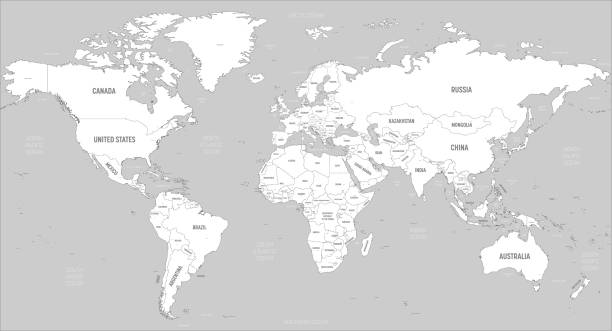
World map - white lands and grey water. High detailed political map of World with country, capital, ocean and sea names labeling.