Vectors
Browse 10,700+ map of canada outline stock illustrations and vector graphics available royalty-free, or start a new search to explore more great stock images and vector art.
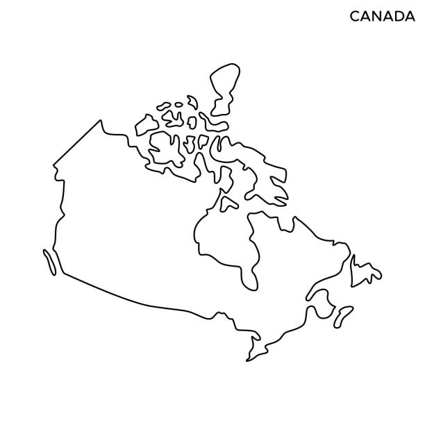
Canada Outline Map Vector Stock Illustration Design Template. Editable Stroke. Vector eps 10.


Canada dark silhouette map isolated on white background
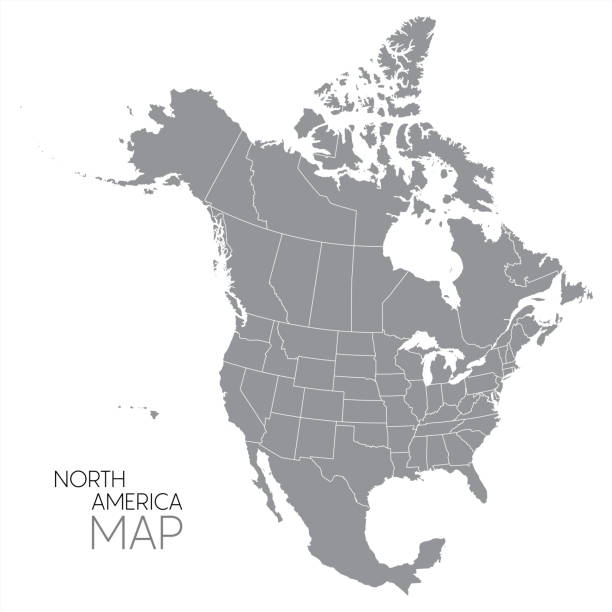
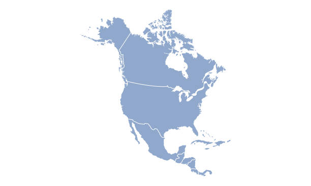
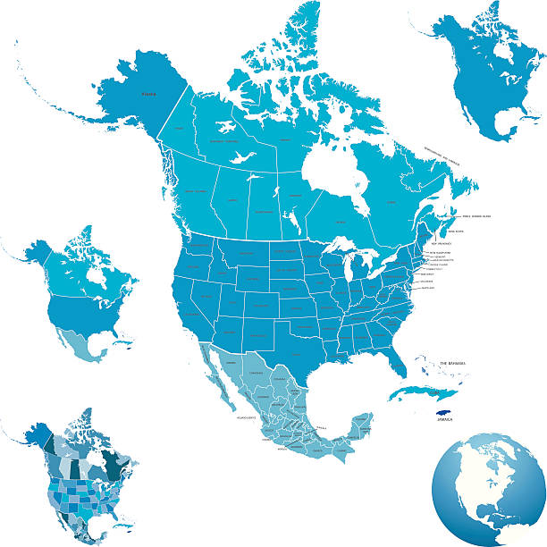
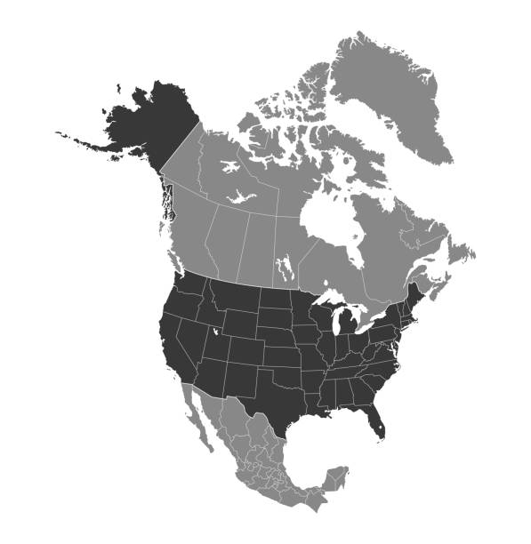
Map of North America with countries, states on white background

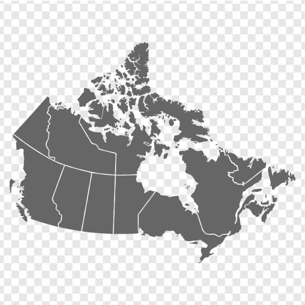
Vector isolated illustration of simplified administrative map of Canada. Borders of the provinces (regions). Grey silhouettes. White outline.

vector illustration of Canada map
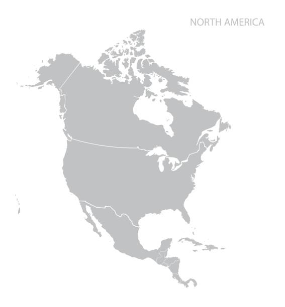
Map of North America. Vector.

vector of the Canada map on transparent background

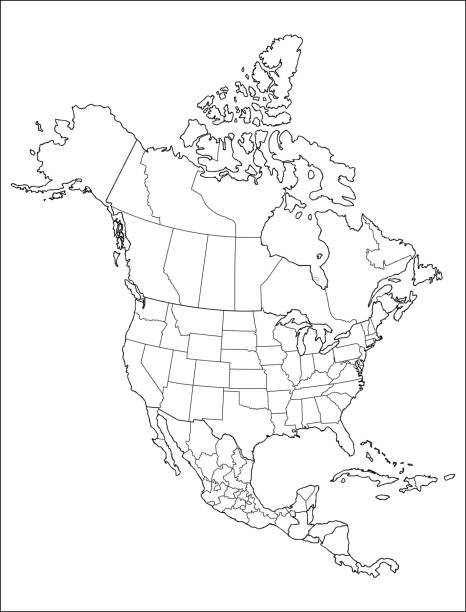
Black colored North America outline map. Political north american map. Vector illustration map.


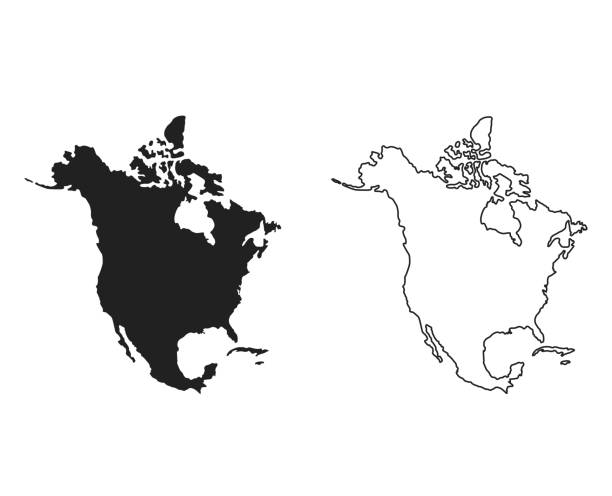
Map of Canada for your own design. Three maps with editable stroke included in the bundle: - One black map on a white background. - One line map with only a thin black outline in a line art style (you can adjust the stroke weight as you want). - One map on a blank transparent background (for change background or texture). The layers are named to facilitate your customization. Vector Illustration (EPS file, well layered and grouped). Easy to edit, manipulate, resize or colorize. Vector and Jpeg file of different sizes.
Map of country line icon set, country collection, vector sketches, logo illustrations, map countries icons, travel signs linear pictograms, editable stroke
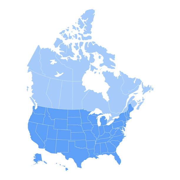
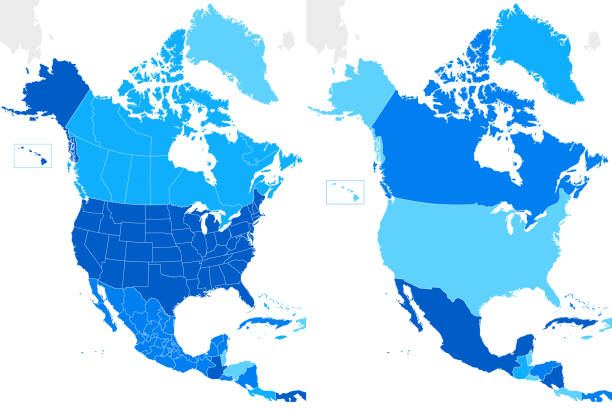
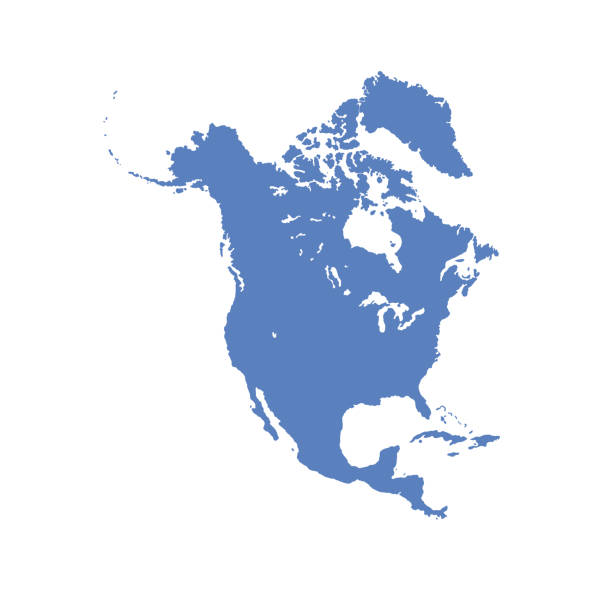
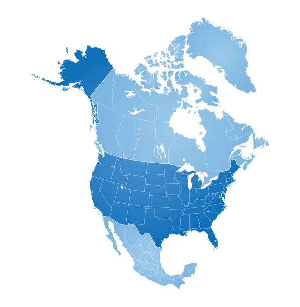
Vector illustration of the map of the United States of America and Canada in blue color and white outline.

A map Canada. Hires JPEG (5000 x 5000 pixels) and EPS10 file included.

vector of the North America map on transparent background


vector illustration of Canada map
vector of the North America map

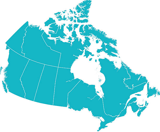
Detailed Vector map of Canada with provincial borders in white. Vector 2D Flat Map illustration Of Canada. The lines on the map divide and represent each province. This map is done as a silhouette to easily see the province border divide lines.
Map of North America, sign silhouette. World Map Globe. Vector Illustration isolated on white background. American continent.

Vector illustration of the map of the United States of America and Canada


Map of USA and Mexico. Vector.

Country Maps Icon Set Editable Stroke. Pixel Perfect. The set contains icons: Icon Symbol, USA, France, Map, UK, Germany, World Map, Cartography


Highly detailed map of North America for your design and product.
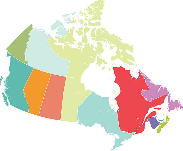
Red flat 2D vector map of the provinces and territories of Canada with each province and territory in different colors. This map shows each of the provinces and territories line divisions. Each province map piece can be moved and manipulated. The map is isolated on white.
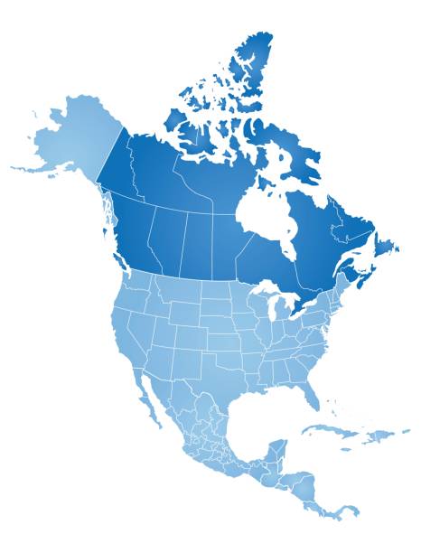
Map of North America with countries, states on white background

vector illustration of Alberta map

Blue map of Canada isolated on white background. Vector illustration eps10.

Map of North America with countries, states on white background
Map of Country Icon Set Editable Stroke. Pixel Perfect. The set contains icons: Icon Symbol, Country - Geographic Area, Map, USA, Mexico, UK, Germany, World Map, Cartography

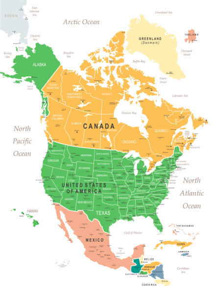
North America map. USA, Canada, Mexico, Cuba, Guatemala, Haiti, Dominican Republic, Honduras, Nicaragua maps with regions. Map isolated on white background. High detailed.
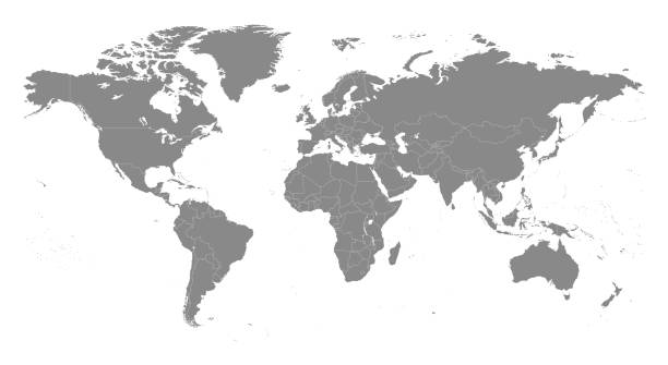
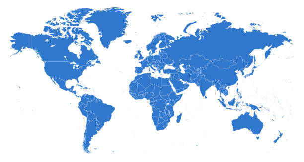
Highly detailed vector World map, with gray countries and white borders on a white background. High detail vector illustration

Map of North America with countries, states on white background

Vector of USA Map Made of Stickman Figure with Patriotic Colors

vector of the North America map


Map of the North America - Borders and Contours - illustration


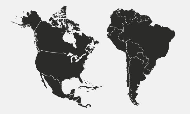
Political Map of North and South America


Vector of Highly Detailed Map of the United States of America- The url of the reference file is : https://www.cia.gov/library/publications/the-world-factbook/graphics/ref_maps/pdf/united_states.pdf
North America Map with vintage colours, borders, sea and oceans

vector of the North America map

vector of the Canada map

Canada map geometric mesh polygonal light. Business wireframe mesh spheres from flying debris blue structure style. Vector illustration EPS10


Vector illustration of the map of the United States of America and Canada
of100Next